Browse / United States / Virginia / Blacksburg
Blacksburg
Virginiatown

Blacksburg
Total population
45,446
Median home value
$446,300
Bachelor's+
Median income
$50,182
Founded
1798
Demographic figures from US Census Bureau · ACS 5-year estimates. Overview below cites Wikipedia and may reference a different year.
City facts
Facts from Wikidata (CC0).
Overview
Blacksburg is an incorporated town in Montgomery County, Virginia, United States, with a population of 44,826 at the 2020 census. Blacksburg and the surrounding county is dominated economically and demographically by the presence of Virginia Tech.
Read more on WikipediaHistory & geography
History
In the mid-1600s, English colonists were still uncertain of what lay beyond the Allegheny Mountains, whose topography and possession by native inhabitants, Tutelo-speaking tribes, were a barrier to expanded settlement by the Colony of Virginia. Abraham Wood, who commanded Fort Henry on the frontier (now the site of Petersburg, Virginia), and operated an Indian trading post nearby, organized several expeditions to explore farther west. A passage over the ridge was finally found in 1671 when explorers Batts and Fallam, sent by Wood, reached the present-day location of Blacksburg, Virginia. Their expedition followed Stroubles Creek, through the current locations of the town and campus of Virginia Tech, to what they named Wood's River. They reported the area as inhabited by the Monacan and Moneton, Siouan-speaking groups, but the Virginian colonial legislature had authorized Wood to claim it. Accordingly, on September 17, 1671, the Batts and Fallam party claimed all of the lands comprising the river's drainage basin for King Charles II. However, the region was not yet open to English patent. In 1700, Seneca warriors of the Iroquois Confederacy based in New York and Pennsylvania, overran the entire area, driving out the other bands. As early as 1718, the Seneca had agreed to sell the parts they had conquered east of the Blue Ridge to the Colony of Virginia. Following another cession at the 1744 Treaty of Lancaster, however, there was a dispute between the tribe and colonists over whether the new boundary was the Alleghenies or the Ohio River. The site of Blacksburg lay just within this disputed zone. By the 1740s, the Wood's River Land Company, represented by Colonel James Patton, gained a large tract of land within present-day southwest Virginia. Part of the tract became…
Geography
According to the United States Census Bureau, the town has a total area of of which is land and , or 0.10%, is water. At 2,080 feet (634 m) above sea level, Blacksburg is located in the New River Valley and also sits astride the Eastern Continental Divide. It is the 15th largest municipality The Eastern Continental Divide traverses the Virginia Tech Montgomery Executive Airport. The tallest building in Blacksburg is Slusher Tower, a twelve-story residence hall on the Virginia Tech campus. The building with the highest elevation is actually Hoge Hall (formerly Lee Hall), another residence hall, which until May 17, 2009, was home to the transmitter of campus radio station WUVT. The tower for WUVT now sits atop Price Mountain. Due to its elevation, the climate of Blacksburg is a hot-summer humid continental climate (Köppen climate classification: Dfa), being cooled down from the lowland areas of Virginia, all of which possess a humid subtropical climate (Köppen climate classification: Cfa). Summers are humid with warm to hot temperatures, although the area sees significantly cooler temperatures than places of lower elevation at the same latitude, with only 5 days of + highs annually. }}
Excerpted from the corresponding Wikipedia article (CC BY-SA).
Demographics & economy
Race & ethnicity
Source: US Census Bureau — American Community Survey, 5-year estimates.
Geography
Coordinates & boundaries from the US Census TIGER/Line shapefiles.
Climate
Current forecast
Forecast for Blacksburg, VA from NOAA NWS API.
Air quality
Industrial & pollution facilities
Natural hazard risk
Health (adults)
Age-adjusted prevalence estimates from CDC PLACES (latest release).
Walkability
Amenities nearby
Wildlife & biodiversity
Schools
Largest nearby schools
- BLACKSBURG HIGHHigh · Blacksburg · 1,321 students · 15.7:1 ratio
- CHRISTIANSBURG HIGHHigh · Christiansburg · 1,116 students · 13.4:1 ratio
- BLACKSBURG MIDDLEMiddle · Blacksburg · 946 students · 12.8:1 ratio
- CHRISTIANSBURG MIDDLEMiddle · Christiansburg · 752 students · 11.6:1 ratio
- Falling Branch ElementaryElementary · Christiansburg · 576 students · 13.4:1 ratio
- Prices Fork ElementaryElementary · Blacksburg · 440 students · 13.3:1 ratio
- Christiansburg ElementaryElementary · Christiansburg · 407 students · 14:1 ratio
- CHRISTIANSBURG PRIMARYElementary · Christiansburg · 405 students · 11.9:1 ratio
Public K–12 schools within ~10 mi from Urban Institute Education Data Portal (NCES Common Core of Data, 2022).
Earthquake history
Most recent
- M 2.57 — 2023-07-08Virginia-North Carolina border region
- M 2.71 — 2023-07-065 km S of Hillsville, Virginia
- M 2.55 — 2023-06-172 km N of Pembroke, Virginia
- M 2.59 — 2022-10-25Virginia-North Carolina border region
- M 2.56 — 2021-09-274 km N of Lafayette, Virginia
- M 2.76 — 2021-07-1510 km S of Narrows, Virginia
Events from the USGS Earthquake Catalog (global) (FDSN Event Web Service).
Photos
Sights & places nearby
Notable people from here


People born within ~10 km, from Wikidata (CC0). Click any name for their Wikipedia article.
Nearby places in Virginia
Geography & sun
Elevation, sunrise/sunset and daylight from Open-Meteo. Solar climatology from NASA POWER.
Nearby airports
Public attention
Pageview totals from the Wikimedia Pageviews API.
Books about Blacksburg


Search results from Open Library.
Recent natural events nearby
- Hurricane IsaiasSevere Storms · 2026-10-11 · 197 mi
Wildfires, storms and other events from NASA EONET (last 12 months, within 250 mi).
Ground air-quality sensors
Recently spotted species
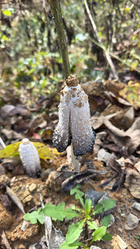
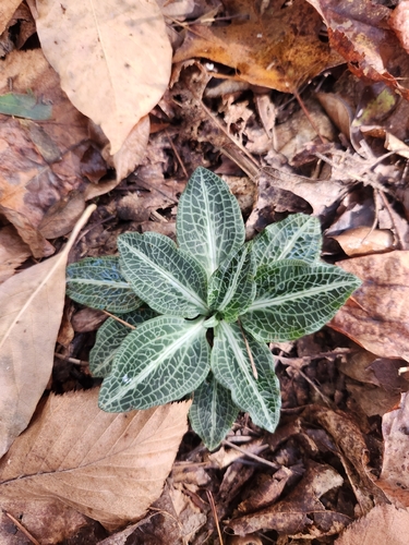
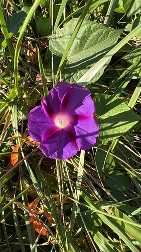
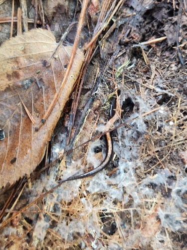
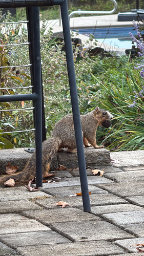
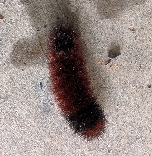
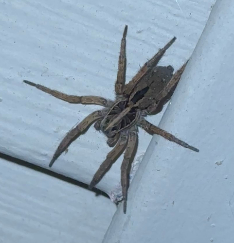
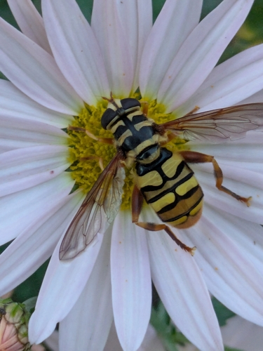
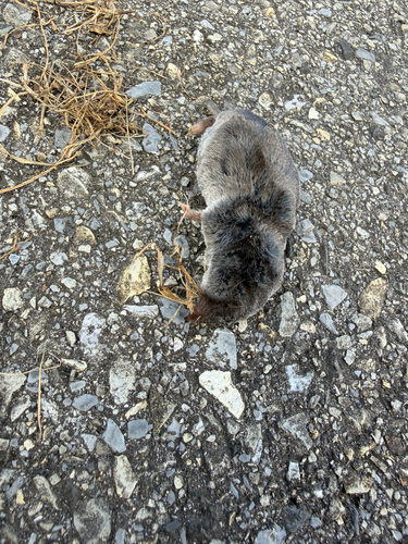
Research-grade observations from iNaturalist (within ~15 mi).
Nearest stream gauge
Live readings from USGS NWIS · measured 2026-10-16 17:15 UTC.
Events
Gallery
Sources
- • Wikipedia
- • US Census Bureau (ACS 5-year estimates)
- • NOAA National Weather Service
- • Wikidata
- • USGS Earthquake Catalog (global feed)
- • USGS NWIS (water data)
- • NCES via Urban Institute Education Data Portal
- • iNaturalist
- • CDC PLACES
- • Open-Meteo / sunrise-sunset.org
- • Wikipedia Pageviews API
- • Open Library
- • NASA EONET