Browse / United States / Virginia / Cape Charles
Cape Charles
Virginiatown

Cape Charles
Total population
1,201
Founded
1884
Demographic figures from US Census Bureau · ACS 5-year estimates. Overview below cites Wikipedia and may reference a different year.
City facts
Facts from Wikidata (CC0).
Overview
Cape Charles is a town/municipal corporation in Northampton County, Virginia, United States. The population was 1,178 as of the 2020 Census.
Read more on WikipediaHistory & geography
History
Cape Charles, located close to the mouth of the Chesapeake Bay, on Virginia's Eastern Shore, was founded in 1884 at a place formerly known as "Cherrystone Harbor" as a planned community by railroad and ferry interests. In 1883, William Lawrence Scott became president of the New York, Philadelphia and Norfolk Railroad Company (NYP&N), and purchased three plantations, including "Old Plantation Neck", comprising approximately 2,509 acres from the heirs of former Virginia Governor Littleton Waller Tazewell. Of this land, he ceded 40 acres to the NYP&N, and 136 acres to create the Town of Cape Charles (technically known as the "Municipal Corporation of Cape Charles") named Cape Charles for the geographical cape found on the Point and headland to the south. In that same year, construction of the railroad began. In Cape Charles, the Railroad Company built a harbor port to handle steamships and freighters from Cape Charles to Norfolk. The original Town was surveyed, platted, and laid out with approximately 136 acres divided into 644 equal lots. Seven wider avenues which run from east to west were named for Virginia statesmen and political leaders; the streets which run north and south were named for fruits. The original layout of the Town is still very visible today, and was inspired by the layout of Erie, Pennsylvania, a city in which Scott was formerly mayor. Historian William G. Thomas writes, "At a cost of nearly $300,000, the New York, Pennsylvania, and Norfolk Railroad (N.Y.P. & N. R.R.) was dredging a new harbor out of a large fresh-water lagoon between King's and Old Plantation creeks in lower Northampton County, and Scott planned to develop a new town around it called Cape Charles City. The appellation "City" for any place on the Eastern Shore was romantic, a vision…
Geography
Cape Charles is located at (37.267522, −76.014125). Cape Charles lies on a peninsula and is surrounded by water on three sides. The town is situated directly on the Chesapeake Bay, bordered by King's Creek to the north and Old Plantation Creek to the south. The land in town is low lying and relatively flat, with the highest point of elevation at 15 feet, and a slope of less than 1%. Most of the developed land in town is between 5 and 10 feet in elevation. Under the Köppen climate classification, Cape Charles features a humid subtropical climate with hot, humid summers and chilly, but not very cold winters. Temperatures routinely exceed 90 °F in the summer and typically dip below the freezing point during the winter, though it is somewhat rare for temperatures to dip far below freezing. Cape Charles on average receives roughly 45 inches of precipitation annually. Cape Charles receives 2300 hours of sunshine annually (higher than the USA average).
Excerpted from the corresponding Wikipedia article (CC BY-SA).
Demographics & economy
Geography
Coordinates & boundaries from the US Census TIGER/Line shapefiles.
Climate
Air quality
Industrial & pollution facilities
Natural hazard risk
Health (adults)
Walkability
Amenities nearby
Wildlife & biodiversity
Schools
Earthquake history
Photos
Sights & places nearby
Notable people from here


People born within ~10 km, from Wikidata (CC0). Click any name for their Wikipedia article.
Nearby places in Virginia
Geography & sun
Elevation, sunrise/sunset and daylight from Open-Meteo. Solar climatology from NASA POWER.
Nearby airports
Public attention
Pageview totals from the Wikimedia Pageviews API.
Books about Cape Charles

Search results from Open Library.
Recent natural events nearby
Ground air-quality sensors
Recently spotted species
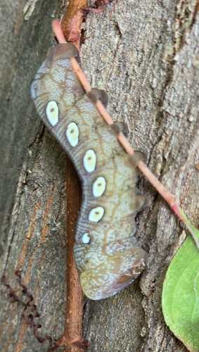
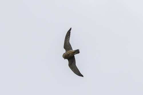
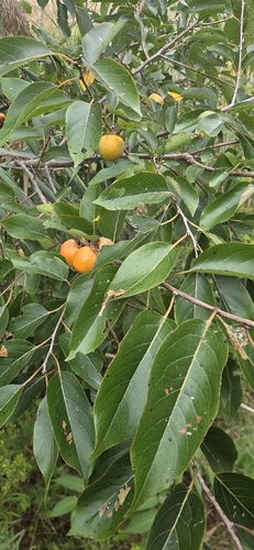
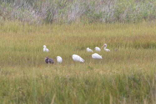
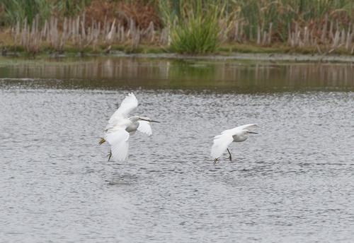
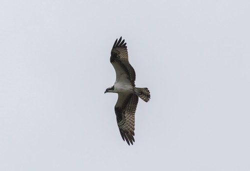
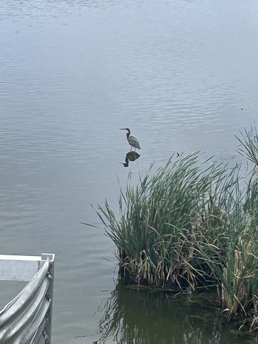
Research-grade observations from iNaturalist (within ~15 mi).
Nearest stream gauge
Events
Gallery
Sources
- • Wikipedia
- • Wikidata
- • iNaturalist
- • Open-Meteo / sunrise-sunset.org
- • Wikipedia Pageviews API
- • Open Library