Browse / United States / Virginia / Franconia
Franconia
VirginiaCDP

Franconia
Total population
18,335
Median home value
$567,100
Bachelor's+
Median income
$152,474
Demographic figures from US Census Bureau · ACS 5-year estimates. Overview below cites Wikipedia and may reference a different year.
City facts
Facts from Wikidata (CC0).
Overview
Franconia is a census-designated place (CDP) in Fairfax County, Virginia, United States. The population was 18,943 at the 2020 census.
Read more on WikipediaHistory & geography
History
Franconia Road once served as a rolling road to bring tobacco hogsheads to the port at Alexandria. The surrounding community derives its name from the "Frankhonia Farm", which sat on a portion of a tract of 191 acres purchased from Joseph Broders of Oak Grove Farm in 1859 by William Fowle, a merchant from Alexandria. Fowle's son, Robert Rollins Fowle, sold 18 acres of the property to the Alexandria & Fredericksburg Railway Company in 1871 for the erection of a railway station, which took its name of the farm. The station was the site of the Garfield Post Office from 1881 until 1890, and again from 1898 until 1907. In 1903, it was relocated after a fire from its original site, near Fleet Drive, to the north side of Franconia Road. The railway station remained in regular service until around 1953. Today, it is memorialized with a historic marker erected by the Fairfax County History Commission in 2000, located in front of the Franconia Governmental Center. For many years the center of the community was Wards Corner, at the intersection of Franconia Road and Old Rolling Road. Over twenty-five years the complex grew to include a gas station, grocery store, bar, movie theater, and dance hall; a 1959 fire destroyed everything at the site. The Franconia area was the site of a skirmish in January 1862, during the American Civil War. Colonel Wade Hampton III, having led a group of cavalrymen across the Occoquan River past Pohick Church, encountered a group of Union cavalry in the area and gave chase. Being warned by a Texas scout that he was soon to enter an ambush, Hampton stopped short and formed a squadron on top of Potter's Hill. The trap having failed, both sides began firing at each other; several soldiers were wounded, including one of Hampton's men who was shot in the…
Geography
Franconia is located in southeastern Fairfax County at (38.763351, −77.150328). It is bordered to the west by Springfield, to the north by Lincolnia, to the northeast by Rose Hill, to the east by Kingstowne, and to the south by Newington. It is southwest of Washington, D.C. According to the United States Census Bureau, the Franconia CDP has a total area of , of which , or 0.18%, is water.
Excerpted from the corresponding Wikipedia article (CC BY-SA).
Demographics & economy
Race & ethnicity
Source: US Census Bureau — American Community Survey, 5-year estimates.
Geography
Coordinates & boundaries from the US Census TIGER/Line shapefiles.
Climate
Current forecast
Forecast for Franconia, VA from NOAA NWS API.
Air quality
Industrial & pollution facilities
Natural hazard risk
Health (adults)
Age-adjusted prevalence estimates from CDC PLACES (latest release).
Walkability
Amenities nearby
Wildlife & biodiversity
Schools
Largest nearby schools
- LAKE BRADDOCK SECONDARYHigh · Burke · 4,377 students · 16.8:1 ratio
- ROBINSON SECONDARYHigh · Fairfax · 3,607 students · 16.6:1 ratio
- HAYFIELD SECONDARYHigh · Alexandria · 3,145 students · 16.7:1 ratio
- WEST POTOMAC HIGHHigh · Alexandria · 2,764 students · 16.8:1 ratio
- WEST SPRINGFIELD HIGHHigh · Springfield · 2,663 students · 17.6:1 ratio
- WOODSON HIGHHigh · Fairfax · 2,478 students · 15.3:1 ratio
- JUSTICE HIGHHigh · Falls Church · 2,362 students · 16.2:1 ratio
- SOUTH COUNTY HIGHHigh · Lorton · 2,273 students · 16.6:1 ratio
Public K–12 schools within ~10 mi from Urban Institute Education Data Portal (NCES Common Core of Data, 2022).
Earthquake history
Photos
Sights & places nearby
Notable people from here


People born within ~10 km, from Wikidata (CC0). Click any name for their Wikipedia article.
Nearby places in Virginia
Geography & sun
Elevation, sunrise/sunset and daylight from Open-Meteo. Solar climatology from NASA POWER.
Nearby airports
Public attention
Pageview totals from the Wikimedia Pageviews API.
Books about Franconia

Search results from Open Library.
Recent natural events nearby
Ground air-quality sensors
Recently spotted species
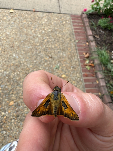
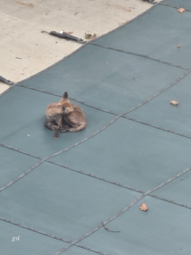
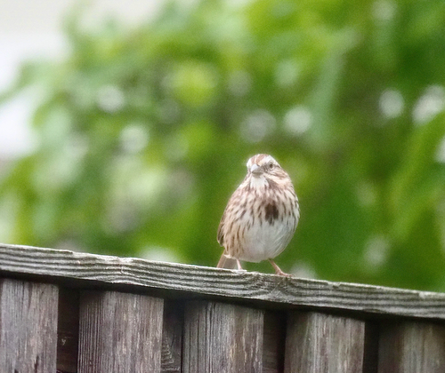
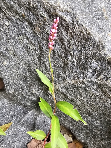
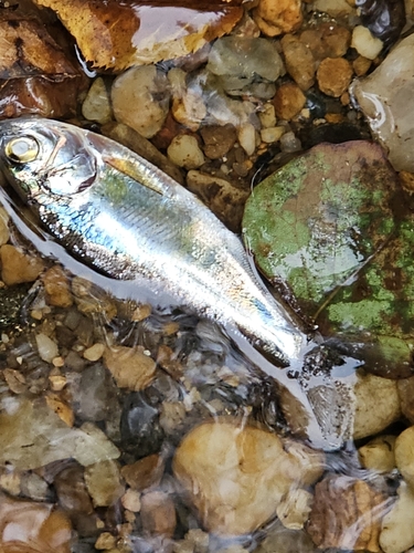
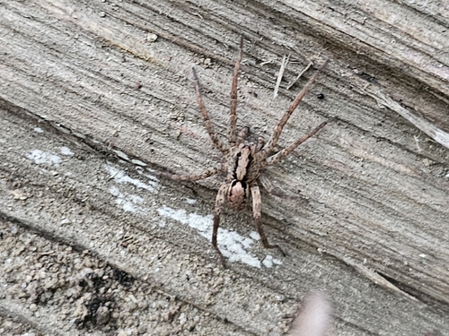
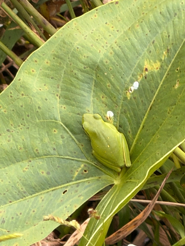
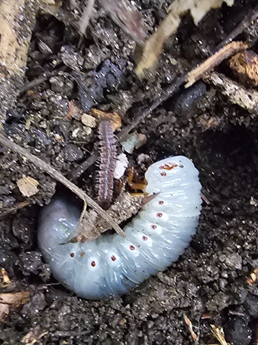
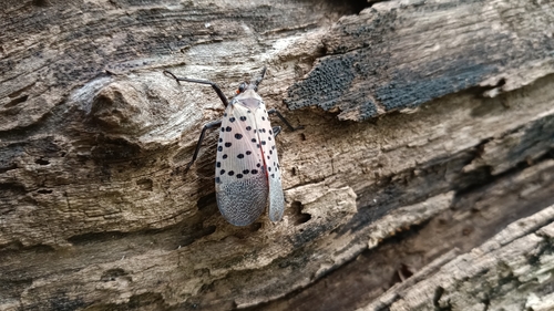
Research-grade observations from iNaturalist (within ~15 mi).
Nearest stream gauge
Events
Gallery
Sources
- • Wikipedia
- • US Census Bureau (ACS 5-year estimates)
- • NOAA National Weather Service
- • Wikidata
- • NCES via Urban Institute Education Data Portal
- • iNaturalist
- • CDC PLACES
- • Open-Meteo / sunrise-sunset.org
- • Wikipedia Pageviews API
- • Open Library