Browse / United States / Virginia / Hillsville
Hillsville
Virginiatown

Hillsville
Total population
2,864
Median home value
$159,000
Bachelor's+
Median income
$58,000
Founded
1876
Demographic figures from US Census Bureau · ACS 5-year estimates. Overview below cites Wikipedia and may reference a different year.
City facts
Facts from Wikidata (CC0).
Overview
Hillsville is a town in Carroll County, Virginia, United States. The population was 2,897 at the 2020 census. It is the county seat of Carroll County.
Read more on WikipediaHistory & geography
Geography
Hillsville is located in central Carroll County at (36.758814, −80.734510). U.S. Routes 52, 221 and 58 intersect in the center of town. US 52 leads northwest to Wytheville and south to Mount Airy, North Carolina, while US 221 leads northeast to Roanoke and southwest to Galax. US 58 leads east to Martinsville and west to Galax with US 221. The Hillsville town limits extend west along US 221 and 58 to Interstate 77, which leads north to Interstate 81 east of Wytheville and south to Interstate 74 in North Carolina. According to the United States Census Bureau, Hillsville has a total area of , of which , or 0.11%, is water. Carroll County is located within the Blue Ridge Mountain range of the Appalachian Mountains. The Blue Ridge Parkway runs through Carroll County south of Hillsville. The climate in this area features moderate differences between highs and lows, and there is adequate rainfall year-round. According to the Köppen Climate Classification system, Hillsville has a marine west coast climate, abbreviated "Cfb" on climate maps.
Excerpted from the corresponding Wikipedia article (CC BY-SA).
Demographics & economy
Race & ethnicity
Source: US Census Bureau — American Community Survey, 5-year estimates.
Geography
Coordinates & boundaries from the US Census TIGER/Line shapefiles.
Climate
Current forecast
Forecast for Hillsville, VA from NOAA NWS API.
Air quality
Industrial & pollution facilities
Natural hazard risk
Health (adults)
Age-adjusted prevalence estimates from CDC PLACES (latest release).
Walkability
Amenities nearby
Wildlife & biodiversity
Schools
Largest nearby schools
- CARROLL COUNTY HIGHHigh · Hillsville · 1,069 students · 12.9:1 ratio
- CARROLL COUNTY MIDDLEMiddle · Hillsville · 756 students · 13.3:1 ratio
- Hillsville ElementaryElementary · Hillsville · 472 students · 11.5:1 ratio
- Gladeville ElementaryElementary · Galax · 267 students · 14.1:1 ratio
- Laurel ElementaryElementary · Austinville · 225 students · 12.5:1 ratio
- Oakland ElementaryElementary · Galax · 180 students · 12:1 ratio
- Fancy Gap ElementaryElementary · Fancy Gap · 127 students · 14.1:1 ratio
- Gladesboro ElementaryElementary · Hillsville · 106 students · 11.8:1 ratio
Public K–12 schools within ~10 mi from Urban Institute Education Data Portal (NCES Common Core of Data, 2022).
Earthquake history
Photos
Sights & places nearby
Notable people from here


People born within ~10 km, from Wikidata (CC0). Click any name for their Wikipedia article.
Nearby places in Virginia
Geography & sun
Elevation, sunrise/sunset and daylight from Open-Meteo. Solar climatology from NASA POWER.
Nearby airports
Public attention
Pageview totals from the Wikimedia Pageviews API.
Books about Hillsville

Search results from Open Library.
Recent natural events nearby
Ground air-quality sensors
Recently spotted species
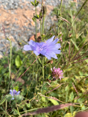
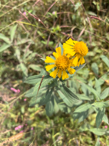
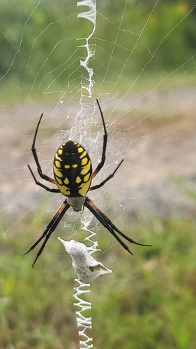
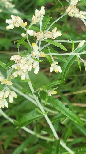
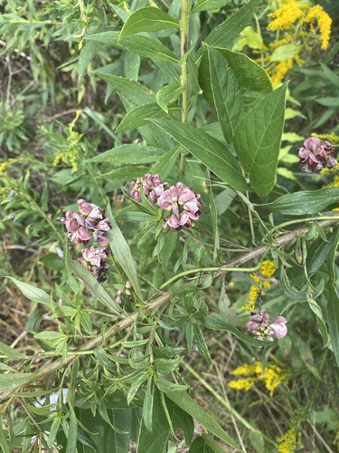
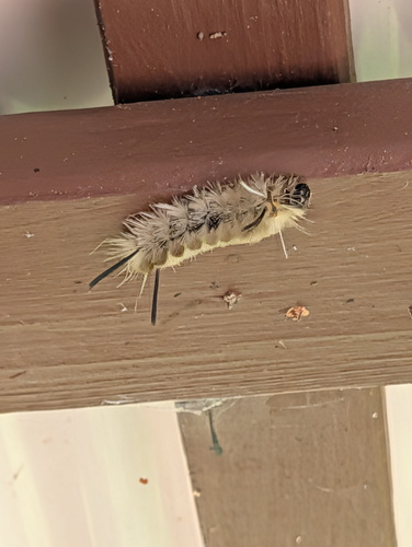
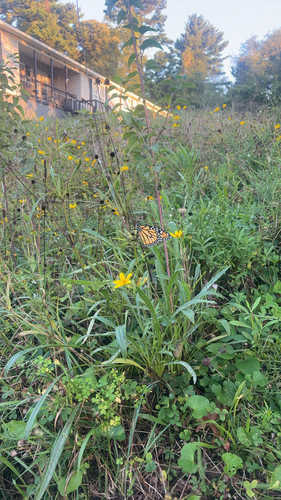
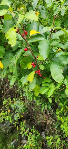
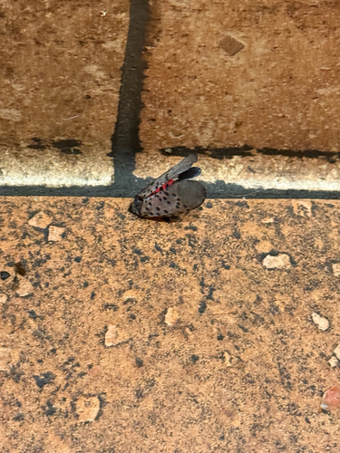
Research-grade observations from iNaturalist (within ~15 mi).
Nearest stream gauge
Events
Gallery
Sources
- • Wikipedia
- • US Census Bureau (ACS 5-year estimates)
- • NOAA National Weather Service
- • Wikidata
- • NCES via Urban Institute Education Data Portal
- • iNaturalist
- • CDC PLACES
- • Open-Meteo / sunrise-sunset.org
- • Wikipedia Pageviews API
- • Open Library