Browse / United States / Virginia / Newport News
Newport News
Virginiacity

Newport News
Total population
183,056
Median home value
$283,200
Bachelor's+
Median income
$68,927
Founded
1881
Air quality index
Demographic figures from US Census Bureau · ACS 5-year estimates. Overview below cites Wikipedia and may reference a different year.
- Coastal Flood Warning · SevereCoastal Flood Warning issued September 23 at 2:01PM EDT until September 25 at 4:00AM EDT by NWS Wakefield VA
Source: NOAA National Weather Service.
City facts
Sister cities
Facts from Wikidata (CC0).
Overview
Newport News is an independent city in southeastern Virginia, United States. At the 2020 census, the population was 186,247. Located in the Hampton Roads region, it is the fifth-most populous city in Virginia and 140th-most populous city in the United States. The city is at the southeastern end of the Virginia Peninsula, on the northern shore of the James River to the river's mouth on the harbor of Hampton Roads.
Read more on WikipediaHistory & geography
History
During the 17th century, shortly after founding of Jamestown, Virginia, in 1607, English settlers explored and began settling the areas adjacent to Hampton Roads. In 1610, Sir Thomas Gates seized a nearby Native American village, which became known as Kecoughtan. At that time, settlers began clearing land along the James River (the eastern most section of which was called Hampton Roads) for plantations, including the present area of Newport News. In 1619, the area of Newport News was included in one of four huge corporations of the Virginia Company of London. It became known as Elizabeth Cittie and extended west all the way to Skiffe's Creek (currently the border between Newport News and James City County). Elizabeth Cittie included all of present-day South Hampton Roads. By 1634, the English colony of Virginia consisted of a population of approximately 5,000 inhabitants. It was divided into eight shires of Virginia, which were renamed as counties shortly thereafter. The area of Newport News became part of Warwick River Shire, which became Warwick County in 1637. The first courthouse was located near the shores of the James River at Warwick Town near Denbigh Plantation. In 1810, the county seat was at Denbigh. Newport News was a rural area of plantations and a small fishing village until after the American Civil War. The area that formed the present-day southern end of Newport News had long been established as an unincorporated town. After Reconstruction (the period after the American Civil War) the new City of Newport News was essentially founded by California merchant Collis P. Huntington. Huntington, one of the Big Four associated with the Central Pacific Railroad, in California, formed the western part of the country's First transcontinental railroad. He was…
Geography
Newport News is located at (37.071046, −76.484557). According to the United States Census Bureau, the city has a total area of , of which is land and (42.3%) is water. The city is located at the Peninsula side of Hampton Roads in the Tidewater region of Virginia, bordering the Atlantic Ocean. The Hampton Roads Metropolitan Statistical Area (officially known as the Virginia Beach-Norfolk-Newport News, VA-NC MSA) is the 37th largest in the nation with a 2014 population estimate of 1,716,624. The area includes the Virginia cities of Norfolk, Virginia Beach, Chesapeake, Hampton, Newport News, Poquoson, Portsmouth, Suffolk, Williamsburg, and the counties of Gloucester, Isle of Wight, James City, Mathews, Surry, and York, as well as the North Carolina counties of Currituck and Gates. Newport News serves as one of the business centers on the Peninsula. The city of Norfolk is recognized as the central business district, while the Virginia Beach oceanside resort district and Williamsburg are primarily centers of tourism. Newport News shares land borders with James City County on the northwest, York County on the north and northeast, and Hampton on the east. Newport News shares water borders with Portsmouth on the southeast and Suffolk on the south across the Hampton Roads Area, and Isle of Wight County on the southwest and west and Surry County on the northwest across the James River. The city's downtown area was part of the earliest developed area which was initially incorporated as an independent city in 1896. The earlier city portions also included the "East End" or "Southeast" community, which was predominantly black American, the "North End" and the shipyard and coal piers. The town of Kecoughtan in Elizabeth City County was annexed by Newport News in 1927, extending…
Excerpted from the corresponding Wikipedia article (CC BY-SA).
Demographics & economy
Race & ethnicity
Source: US Census Bureau — American Community Survey, 5-year estimates.
Geography
Coordinates & boundaries from the US Census TIGER/Line shapefiles.
Climate
Current forecast
Forecast for Newport News, VA from NOAA NWS API.
Air quality
Current readings from Open-Meteo Air Quality API (Copernicus CAMS European reanalysis).
Industrial & pollution facilities
Natural hazard risk
Health (adults)
Age-adjusted prevalence estimates from CDC PLACES (latest release).
Walkability
Amenities nearby
Wildlife & biodiversity
Most-observed species
- Northern CardinalCardinalis cardinalis (Linnaeus, 1758) · Aves15,069
- Carolina ChickadeePoecile carolinensis (Audubon, 1834) · Aves12,648
- American CrowCorvus brachyrhynchos C.L.Brehm, 1822 · Aves11,968
- Carolina WrenThryothorus ludovicianus (Latham, 1790) · Aves11,575
- American RobinTurdus migratorius Linnaeus, 1766 · Aves11,040
- Tufted TitmouseBaeolophus bicolor (Linnaeus, 1766) · Aves10,633
- Northern MockingbirdMimus polyglottos (Linnaeus, 1758) · Aves10,376
- Eastern BluebirdSialia sialis (Linnaeus, 1758) · Aves10,347
Citizen-science & research observations from the Global Biodiversity Information Facility (GBIF).
Schools
Largest nearby schools
- WOODSIDE HIGHHigh · Newport News · 1,807 students · 16.3:1 ratio
- MENCHVILLE HIGHHigh · Newport News · 1,788 students · 17.4:1 ratio
- WARWICK HIGHHigh · Newport News · 1,645 students · 14.7:1 ratio
- DENBIGH HIGHHigh · Newport News · 1,225 students · 13.5:1 ratio
- ETHEL M. GILDERSLEEVE MIDDLEMiddle · Newport News · 1,130 students · 16.4:1 ratio
- HERITAGE HIGHHigh · Newport News · 1,111 students · 14.1:1 ratio
- ELLA J. FITZGERALD MIDDLEMiddle · Newport News · 1,060 students · 15.8:1 ratio
- MARY PASSAGE MIDDLEMiddle · Newport News · 944 students · 14.3:1 ratio
Public K–12 schools within ~10 mi from Urban Institute Education Data Portal (NCES Common Core of Data, 2022).
Earthquake history
Events from the USGS Earthquake Catalog (global) (FDSN Event Web Service).
Photos
Sights & places nearby
Notable people from here


People born within ~10 km, from Wikidata (CC0). Click any name for their Wikipedia article.
Nearby places in Virginia
Geography & sun
Elevation, sunrise/sunset and daylight from Open-Meteo. Solar climatology from NASA POWER.
Nearby airports
Public attention
Pageview totals from the Wikimedia Pageviews API.
Books about Newport News
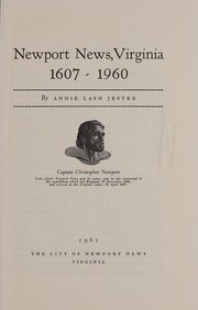


Search results from Open Library.
Recent natural events nearby
Ground air-quality sensors
Recently spotted species
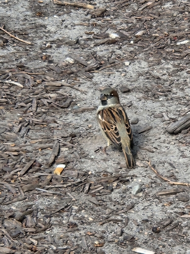
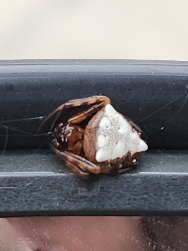
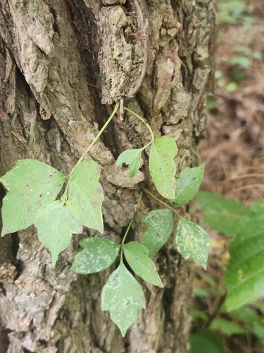
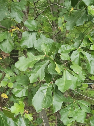
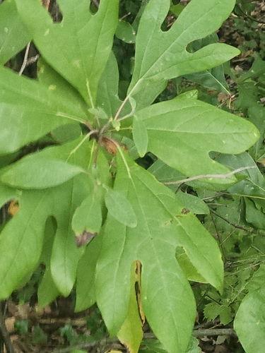
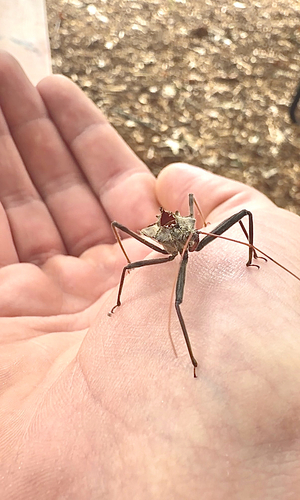
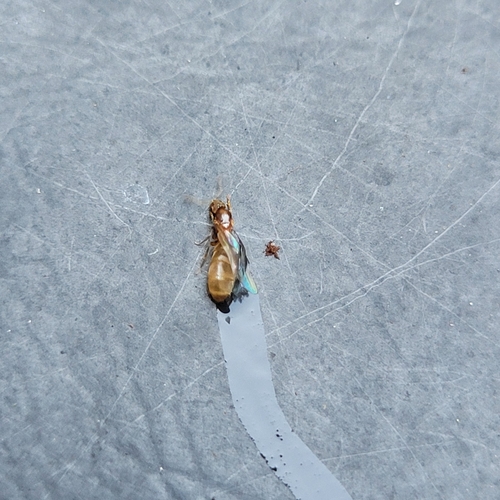
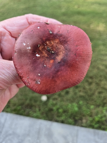
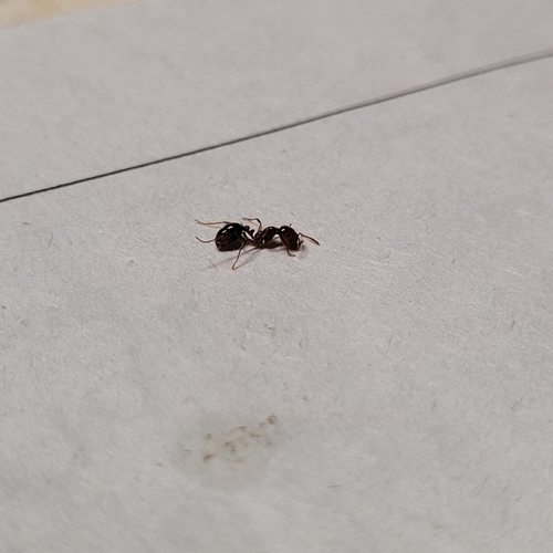
Research-grade observations from iNaturalist (within ~15 mi).
Nearest stream gauge
Live readings from USGS NWIS · measured 2026-09-17 02:54 UTC.
Events
Gallery
Geotagged photos within ~6 miles of Newport News, from Wikimedia Commons contributors.
 0.8 mi
.jpg) 0.8 mi
0.8 mi 0.8 mi
.jpg) 0.8 mi
0.8 mi 0.8 mi
 1 mi
1 mi 1.2 mi
.jpg) 1.2 mi
1.2 mi.jpg) 1.2 mi
1.2 mi.jpg) 1.2 mi
1.2 mi_(8628416549).jpg) 1.5 mi
1.5 mi.jpg) 1.5 mi
1.5 mi.jpg) 1.5 mi
1.5 mi.jpg) 1.5 mi
1.5 mi.jpg) 1.5 mi
1.5 mi.jpg) 1.5 mi
1.5 mi.jpg) 1.5 mi
1.5 mi.jpg) 1.5 mi
1.5 mi.jpg) 1.5 mi
1.5 mi.jpg) 1.5 mi
1.5 mi.jpg) 1.5 mi
1.5 mi.jpg) 1.5 mi
1.5 mi.jpg) 1.5 mi
1.5 mi.jpg) 1.5 mi
1.5 miPhotos via Wikimedia Commons — see each image page for license & attribution.
Sources
- • Wikipedia
- • US Census Bureau (ACS 5-year estimates)
- • NOAA National Weather Service
- • Wikimedia Commons
- • Wikidata
- • Open-Meteo Air Quality (CAMS)
- • USGS Earthquake Catalog (global feed)
- • USGS NWIS (water data)
- • NCES via Urban Institute Education Data Portal
- • GBIF (Global Biodiversity Information Facility)
- • iNaturalist
- • CDC PLACES
- • Open-Meteo / sunrise-sunset.org
- • Wikipedia Pageviews API
- • Open Library