Browse / United States / Virginia / Norfolk
Norfolk
Virginiacity

Norfolk
Total population
231,105
Median home value
$311,200
Bachelor's+
Median income
$65,797
Founded
1682
Air quality index
Demographic figures from US Census Bureau · ACS 5-year estimates. Overview below cites Wikipedia and may reference a different year.
City facts
Facts from Wikidata (CC0).
Overview
Norfolk is an independent city in the U.S. commonwealth of Virginia. It had a population of 238,005 at the 2020 census, making it the third-most populous city in both the Hampton Roads metropolitan area and in Virginia, after neighboring cities Virginia Beach and Chesapeake, as well as the 101st-most populous city in the United States. The city holds a strategic position as the historical, urban, financial, and cultural center of the Hampton Roads area, which has more than 1.8 million inhabitants and is the 37th-largest metropolitan area in the U.S.
Read more on WikipediaHistory & geography
History
When the South Hampton Roads portion of the shire was separated, Thoroughgood suggested the name of his birthplace for the newly formed New Norfolk County. One year later, it was divided into two counties, Upper Norfolk and Lower Norfolk (the latter now incorporated into the City of Norfolk), chiefly on Thoroughgood's recommendation. This area of Virginia became known as the place of entrepreneurs, including men of the Virginia Company of London. Norfolk developed in the late-seventeenth century as a "Half Moone" fort was constructed and were acquired from local natives of the Powhatan Confederacy in exchange for 10,000 pounds of tobacco. The House of Burgesses established the "Towne of Lower Norfolk County" in 1680. Norfolk was incorporated in 1705. In 1730, a tobacco inspection site was located here. According to the Tobacco Inspection Act, the inspection was "At Norfolk Town, upon the fort land, in the County of Norfolk; and Kemp's Landing, in Princess Anne, under one inspection." In 1736 George II granted it a royal charter as a borough. It was an important port for exporting goods to the British Isles and beyond. After the American Revolution forced the Royal Governor of Virginia, John Murray, 4th Earl of Dunmore, to flee from Williamsburg, he made Norfolk the new capital of Virginia in 1775. Norfolk's 6,250 residents were primarily Loyalist because the British government had granted trade monopolies to many of their businesses. After losing at the Battle of Great Bridge that December, Lord Dunmore partially destroyed the city with naval cannonading. On January 16, 1776, the Patriots' Fourth Virginia Convention agreed to destroy most remaining homes to prevent Dunmore from using the city to amass British troops and runaway slaves. Ultimately, Colonel…
Geography
The city is located at the southeastern corner of Virginia at the junction of the Elizabeth River and the Chesapeake Bay. The Hampton Roads Metropolitan Statistical Area (officially known as the Virginia Beach-Norfolk-Newport News, VA-NC MSA) is the 37th largest in the United States, with an estimated population of 1,716,624 in 2014. The area includes the Virginia cities of Norfolk, Virginia Beach, Chesapeake, Hampton, Newport News, Poquoson, Portsmouth, Suffolk, Williamsburg, and the counties of Gloucester, Isle of Wight, James City, Mathews, and York, as well as the North Carolina counties of Currituck and Gates. The city of Norfolk is recognized as the central business district, while the Virginia Beach oceanside resort district and Williamsburg are primarily centers of tourism. Virginia Beach is the most populated city within the MSA though it functions more as a suburb. Additionally, Norfolk is part of the Virginia Beach-Norfolk, VA-NC Combined Statistical Area, which includes the Virginia Beach-Norfolk-Newport News, VA-NC MSA, the Elizabeth City, North Carolina Micropolitan Statistical Area, and the Kill Devil Hills, NC Micropolitan Statistical Area. Being low-lying and largely surrounded by water, Norfolk is particularly vulnerable to rising sea levels caused by climate change. In addition, the land on which it is built is slowly subsiding. Some areas already flood regularly at high tide, and the city commissioned a study in 2012 to investigate how to address the issue in the future: it reported the cost of dealing with a sea-level rise of one foot would be around $1,000,000,000. Since then, scientists at the Virginia Institute of Marine Science in 2013 have estimated that if current trends hold, the sea in Norfolk will rise by 5 and 1/2 feet or more by the…
Excerpted from the corresponding Wikipedia article (CC BY-SA).
Demographics & economy
Race & ethnicity
Source: US Census Bureau — American Community Survey, 5-year estimates.
Geography
Coordinates & boundaries from the US Census TIGER/Line shapefiles.
Climate
Current forecast
Forecast for Norfolk, VA from NOAA NWS API.
Air quality
Current readings from Open-Meteo Air Quality API (Copernicus CAMS European reanalysis).
Industrial & pollution facilities
Natural hazard risk
Health (adults)
Age-adjusted prevalence estimates from CDC PLACES (latest release).
Walkability
Amenities nearby
Wildlife & biodiversity
Most-observed species
- American CrowCorvus brachyrhynchos C.L.Brehm, 1822 · Aves26,070
- Northern CardinalCardinalis cardinalis (Linnaeus, 1758) · Aves25,721
- Carolina ChickadeePoecile carolinensis (Audubon, 1834) · Aves21,402
- Carolina WrenThryothorus ludovicianus (Latham, 1790) · Aves21,317
- Double-crested CormorantPhalacrocorax auritus (Lesson, 1831) · Aves18,400
- Blue JayCyanocitta cristata (Linnaeus, 1758) · Aves17,176
- Mourning DoveZenaida macroura (Linnaeus, 1758) · Aves16,583
- American RobinTurdus migratorius Linnaeus, 1766 · Aves16,141
Citizen-science & research observations from the Global Biodiversity Information Facility (GBIF).
Schools
Largest nearby schools
- NORVIEW HIGHHigh · Norfolk · 1,915 students · 16.2:1 ratio
- GRANBY HIGHHigh · Norfolk · 1,837 students · 15.6:1 ratio
- Matthew Fontaine Maury HighHigh · Norfolk · 1,697 students · 16.2:1 ratio
- NORVIEW MIDDLEMiddle · Norfolk · 1,259 students · 15:1 ratio
- BLAIR MIDDLEMiddle · Norfolk · 1,149 students · 13.8:1 ratio
- LAKE TAYLOR HIGHHigh · Norfolk · 1,030 students · 15.8:1 ratio
- Booker T Washington HighHigh · Norfolk · 947 students · 15.3:1 ratio
- Azalea Gardens MiddleMiddle · Norfolk · 848 students · 16:1 ratio
Public K–12 schools within ~10 mi from Urban Institute Education Data Portal (NCES Common Core of Data, 2022).
Earthquake history
Photos
Sights & places nearby
Notable people from here


People born within ~10 km, from Wikidata (CC0). Click any name for their Wikipedia article.
Nearby places in Virginia
Geography & sun
Elevation, sunrise/sunset and daylight from Open-Meteo. Solar climatology from NASA POWER.
Nearby airports
Public attention
Pageview totals from the Wikimedia Pageviews API.
Books about Norfolk



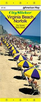

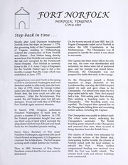
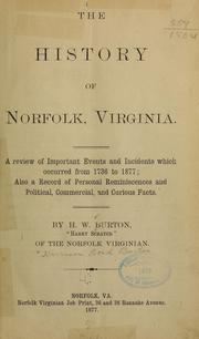

Search results from Open Library.
Recent natural events nearby
Ground air-quality sensors
Recently spotted species
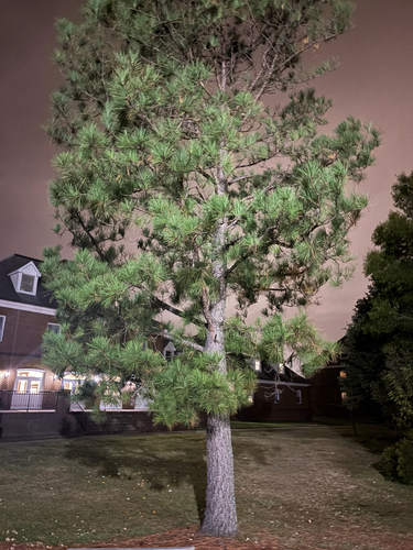



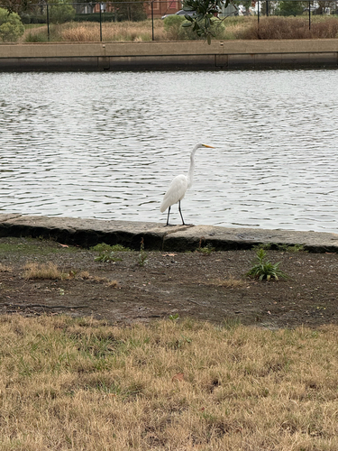
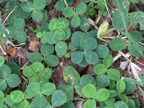

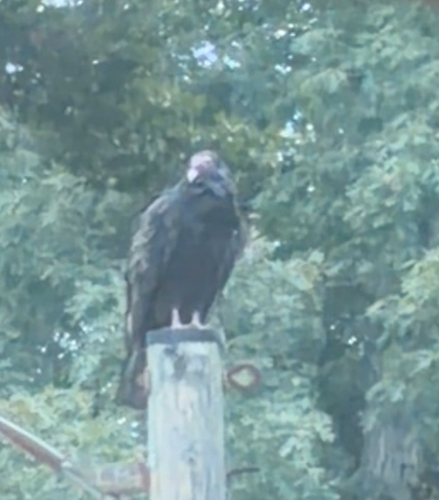

Research-grade observations from iNaturalist (within ~15 mi).
Nearest stream gauge
Events
Notable, recurring, and historical events associated with Norfolk, sourced from Wikidata.
- 90th National Puzzlers' League conventionSep 1, 1928recurring event edition
Source: Wikidata (CC0).
Gallery
Sources
- • Wikipedia
- • US Census Bureau (ACS 5-year estimates)
- • NOAA National Weather Service
- • Wikidata
- • Open-Meteo Air Quality (CAMS)
- • NCES via Urban Institute Education Data Portal
- • GBIF (Global Biodiversity Information Facility)
- • iNaturalist
- • CDC PLACES
- • Open-Meteo / sunrise-sunset.org
- • Wikipedia Pageviews API
- • Open Library