Browse / United States / Virginia / Richmond
Richmond
Virginiacity

Richmond
Total population
233,655
Median home value
$377,900
Bachelor's+
Median income
$63,390
Founded
1607
Air quality index
Demographic figures from US Census Bureau · ACS 5-year estimates. Overview below cites Wikipedia and may reference a different year.
City facts
Facts from Wikidata (CC0).
Overview
Richmond is the capital city of the U.S. state of Virginia. Incorporated in 1742, Richmond has been an independent city since 1871. It is the fourth-most populous city in Virginia, with a population of 226,610 at the 2020 census. The Richmond metropolitan area, with over 1.37 million residents, is the third-most populous metropolitan area in Virginia and 44th-largest in the United States.
Read more on WikipediaHistory & geography
History
After the first permanent English-speaking settlement was established at Jamestown, Virginia, in April 1607, Captain Christopher Newport led explorers northwest up the James River to an inhabited area in the Powhatan Nation, which takes its name from the location Pawat-hanne, or "falls in a stream," referring to the falls in the James River at present day Richmond, specifically Powhatan Hill. Richmond was Arrohattoc territory where Arrohateck village was located. However, as time progressed relations between the Arrohattocs and English colonists declined, and by 1609 the tribe was unwilling to trade with the settlers. As the population began to dwindle, the tribe declined and was last mentioned in a 1610 report by the visiting William Strachey. By 1611 the tribe's Henrico town was found to be deserted when Sir Thomas Dale went to use the land to found Henricus. In 1611, the first European settlement in Central Virginia was established at Henricus, where the Falling Creek empties into the James River. In 1619, early Virginia Company settlers established the Falling Creek Ironworks there. Decades of conflicts between the Powhatan and the settlers followed, including the Battle of Bloody Run, fought near Richmond in 1656, after tensions arose from an influx of Manahoacs and Nahyssans from the North. Nonetheless, the James Falls area saw more white settlement in the late 1600s and early 1700s. In early 1737, planter William Byrd II commissioned Major William Mayo to lay out the original town grid, completed in April. Byrd named the city after the English town of Richmond near (and now part of) London, because the view of the James River's bend at the fall line reminded him of his home at Richmond Hill on the River Thames. In 1742, the settlement was incorporated as a…
Geography
According to the United States Census Bureau, the city has a total area of , of which is land and (4.3%) is water. The city is in the Piedmont region of Virginia, at the James River's highest navigable point. The Piedmont region is characterized by relatively low, rolling hills, and lies between the low, flat Tidewater region and the Blue Ridge Mountains. Significant bodies of water in the region include the James River, the Appomattox River, and the Chickahominy River.Richmond-Petersburg is the 44th largest Metropolitan Statistical Area (MSA) in the United States, and includes the independent cities of Richmond, Colonial Heights, Hopewell, and Petersburg, and the counties of Charles City, Chesterfield, Dinwiddie, Goochland, Hanover, Henrico, New Kent, Powhatan, and Prince George. On July 1, 2009, the Richmond—Petersburg MSA's population was 1,258,251. Richmond's original street grid, laid out in 1737, included the area between what are now Broad, 17th, and 25th Streets and the James River. Modern Downtown Richmond is slightly farther west, on the slopes of Shockoe Hill. Nearby neighborhoods include Shockoe Bottom, the historically significant and low-lying area between Shockoe Hill and Church Hill, and Monroe Ward, which contains the Jefferson Hotel. Richmond's East End includes neighborhoods like the rapidly gentrifying Church Hill, home to St. John's Church, poorer areas like Fulton, Union Hill, and Fairmount, and public housing projects like Mosby Court, Whitcomb Court, Fairfield Court, and Creighton Court closer to Interstate 64. The area between Belvidere Street, Interstate 195, Interstate 95, and the river, which includes Virginia Commonwealth University, is socioeconomically and architecturally diverse. North of Broad Street, the Carver and Newtowne West…
Excerpted from the corresponding Wikipedia article (CC BY-SA).
Demographics & economy
Race & ethnicity
Source: US Census Bureau — American Community Survey, 5-year estimates.
Geography
Coordinates & boundaries from the US Census TIGER/Line shapefiles.
Climate
Air quality
Current readings from Open-Meteo Air Quality API (Copernicus CAMS European reanalysis).
Industrial & pollution facilities
Natural hazard risk
Health (adults)
Age-adjusted prevalence estimates from CDC PLACES (latest release).
Walkability
Amenities nearby
Wildlife & biodiversity
Most-observed species
- Northern CardinalCardinalis cardinalis (Linnaeus, 1758) · Aves38,501
- Carolina WrenThryothorus ludovicianus (Latham, 1790) · Aves32,332
- Carolina ChickadeePoecile carolinensis (Audubon, 1834) · Aves30,229
- Tufted TitmouseBaeolophus bicolor (Linnaeus, 1766) · Aves25,702
- American RobinTurdus migratorius Linnaeus, 1766 · Aves25,617
- Red-bellied WoodpeckerMelanerpes carolinus (Linnaeus, 1758) · Aves23,707
- Blue JayCyanocitta cristata (Linnaeus, 1758) · Aves23,391
- American CrowCorvus brachyrhynchos C.L.Brehm, 1822 · Aves23,056
Citizen-science & research observations from the Global Biodiversity Information Facility (GBIF).
Schools
Largest nearby schools
- HUGUENOT HIGHHigh · Richmond · 1,551 students · 14.9:1 ratio
- GEORGE WYTHE HIGHHigh · Richmond · 1,309 students · 11.3:1 ratio
- RIVER CITY MIDDLEMiddle · Richmond · 1,180 students · 11.2:1 ratio
- Cardinal ElementaryElementary · Richmond · 871 students · 17.4:1 ratio
- THOMAS JEFFERSON HIGHHigh · Richmond · 816 students · 11.3:1 ratio
- G.H. Reid ElementaryElementary · Richmond · 637 students · 14.8:1 ratio
- Broad Rock ElementaryElementary · Richmond · 634 students · 12.4:1 ratio
- THOMAS C. BOUSHALL MIDDLEMiddle · Richmond · 611 students · 13:1 ratio
Public K–12 schools within ~10 mi from Urban Institute Education Data Portal (NCES Common Core of Data, 2022).
Earthquake history
Photos
Sights & places nearby
Notable people from here


People born within ~10 km, from Wikidata (CC0). Click any name for their Wikipedia article.
Geography & sun
Elevation, sunrise/sunset and daylight from Open-Meteo. Solar climatology from NASA POWER.
Nearby airports
Public attention
Pageview totals from the Wikimedia Pageviews API.
Books about Richmond


Search results from Open Library.
Recent natural events nearby
- Little Schloss RX Prescribed Fire, Shenandoah, VirginiaWildfires · 2026-06-10 · 115 mi
- ROSE BAY CANAL Wildfire, Hyde, North CarolinaWildfires · 2026-06-03 · 155 mi
- CADDUGGEN Wildfire, Carteret, North CarolinaWildfires · 2026-05-20 · 190 mi
Wildfires, storms and other events from NASA EONET (last 12 months, within 250 mi).
Ground air-quality sensors
Recently spotted species

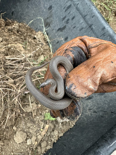
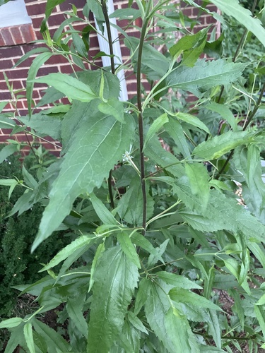
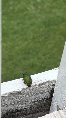
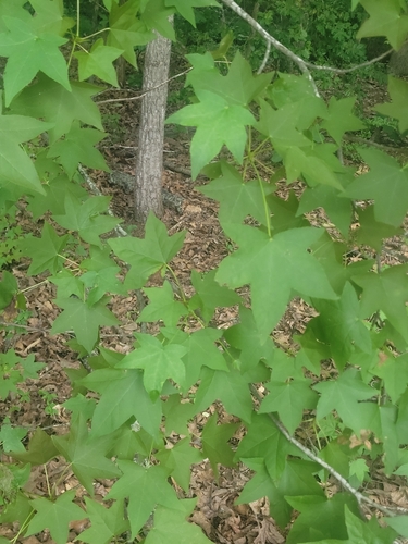

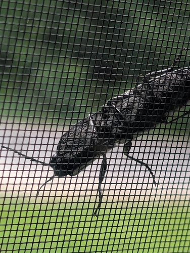
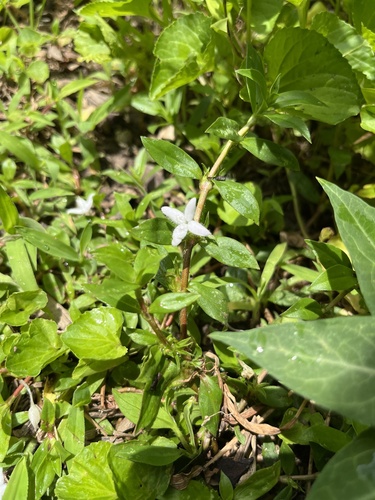
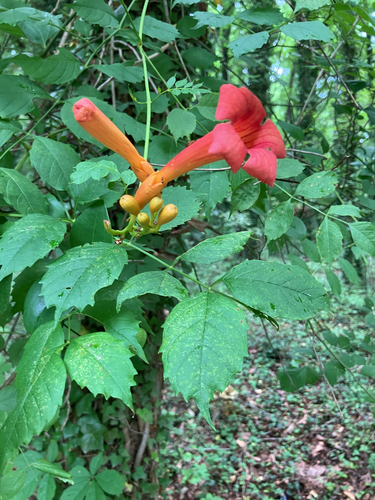
Research-grade observations from iNaturalist (within ~15 mi).
Nearest stream gauge
Live readings from USGS NWIS · measured 2026-06-27 19:00 UTC.
Events
Notable, recurring, and historical events associated with Richmond, sourced from Wikidata.
- May 29, 2020
- 68th National Puzzlers' League conventionJul 1, 1917recurring event edition
- 61st National Puzzlers' League conventionJan 1, 1914recurring event edition
Source: Wikidata (CC0).
Gallery
Geotagged photos within ~6 miles of Richmond, from Wikimedia Commons contributors.
.jpg) 0.1 mi
0.1 mi.jpg) 0.1 mi
0.1 mi.jpg) 0.1 mi
0.1 mi 0.1 mi
 0.1 mi
 0.1 mi
 0.1 mi
 0.1 mi
 0.1 mi
 0.1 mi
 0.1 mi
 0.1 mi
.jpg) 0.1 mi
0.1 mi.jpg) 0.1 mi
0.1 mi_(23091018642).jpg) 0.1 mi
0.1 mi 0.1 mi
 0.1 mi
 0.1 mi
 0.2 mi
_(22944740190).jpg) 0.2 mi
0.2 mi.jpg) 0.2 mi
0.2 mi.jpg) 0.2 mi
0.2 mi_(22483545023).jpg) 0.2 mi
0.2 mi_(22516791534).jpg) 0.2 mi
0.2 miPhotos via Wikimedia Commons — see each image page for license & attribution.
Sources
- • Wikipedia
- • US Census Bureau (ACS 5-year estimates)
- • Wikimedia Commons
- • Wikidata
- • Open-Meteo Air Quality (CAMS)
- • USGS NWIS (water data)
- • NCES via Urban Institute Education Data Portal
- • GBIF (Global Biodiversity Information Facility)
- • iNaturalist
- • CDC PLACES
- • Open-Meteo / sunrise-sunset.org
- • Wikipedia Pageviews API
- • Open Library
- • NASA EONET