Browse / United States / Virginia / Roanoke
Roanoke
Virginiacity

Roanoke
Total population
97,912
Median home value
$214,800
Bachelor's+
Median income
$60,456
Founded
1852
Demographic figures from US Census Bureau · ACS 5-year estimates. Overview below cites Wikipedia and may reference a different year.
City facts
Facts from Wikidata (CC0).
Overview
Roanoke is an independent city in Virginia, United States. It lies in Southwest Virginia along the Roanoke River, within the Blue Ridge range of the greater Appalachian Mountains. Roanoke is about 50 miles (80 km) north of the Virginia–North Carolina border and 250 miles (400 km) southwest of Washington, D.C., along Interstate 81. At the 2020 census, Roanoke's population was 100,011, making it the most populous city in Virginia west of the state capital, Richmond. It is the primary population center of the Roanoke metropolitan area, which had a population of 315,251 in 2020.
Read more on WikipediaHistory & geography
History
The current site of Roanoke lies near the intersection of the Great Wagon Road and the Carolina Road, two branches of a network of early colonial roads that developed from Native American trails in the Appalachian region. While the name Roanoke is said to have originated from a Native American word for shell beads used as currency, that word was first used away, where the Roanoke River empties into the Atlantic Ocean near Roanoke Island. When Europeans arrived, the Roanoke Valley itself was home to members of the Tutelo tribe, a Siouan-speaking people who were gradually pushed out of the area by advancing European settlers. They were followed by significant numbers of Germans from Pennsylvania via the Great Wagon Road. and the area's first railroad, the Virginia and Tennessee, arrived in 1852. The railroad built its new depot just south of a small town named Gainesborough, but named the depot after Big Lick, another small community located just to the east, which itself was named after the salt deposits that had drawn game to the area for years. Gainesborough increasingly became referred to as Big Lick (and later as Old Lick) once development drifted farther south towards the depot. Growth in the area was stalled by the Civil War; Roanoke County voted 850–0 in favor of secession and lost many of its men in the subsequent fighting. The burgeoning tobacco trade helped the region's recovery during Reconstruction. Within a decade of the war's end, there were no fewer than six tobacco factories near the Big Lick Depot. In 1874, the community surrounding the depot applied for and received a town charter, and the Town of Big Lick was formally established. Eight years later, efforts by town boosters succeeded in securing Big Lick as the junction of the Shenandoah Valley…
Geography
Roanoke is the largest city in Virginia west of Richmond and is located in the Blue Ridge Mountains, a range which is part of the greater Appalachian Mountains. According to the United States Census Bureau, the city has a total area of , of which is land and (0.8%) is water. It is located in the center of the greater Roanoke Valley and is bisected by the Roanoke River, which flows west-to-east through the city. Within the city limits is Mill Mountain, a mountain and 500-acre municipal park which stands detached from the surrounding ranges. Roanoke's location in the Blue Ridge Mountains makes it proximate to hundreds of species of plants and wildlife. The area is home to at least 43 species of salamander, and the Poor Mountain Natural Area Preserve in neighboring Roanoke County protects the world's largest collection of piratebush, an exceedingly rare parasitic plant endemic to the Appalachians. Roanoke is the largest city along both the Appalachian Trail, which runs through Roanoke County just north of the city, and the Blue Ridge Parkway, which runs just south of the city. Carvins Cove, the third-largest municipal park in America at , lies in northeast Roanoke County and southwest Botetourt County. Smith Mountain Lake is several miles southeast of the city, and the George Washington and Jefferson National Forests are nearby. Outdoor pursuits in the region include hiking, mountain biking, cross-country running, canoeing, kayaking, fly fishing, and disc golf. Roanoke is divided into 49 separate neighborhoods. The city has incorporated into its comprehensive plan the goal of developing these neighborhoods into "villages", each with their own village center, and with the downtown neighborhood acting as the village center for the city as a whole. The Raleigh Court…
Excerpted from the corresponding Wikipedia article (CC BY-SA).
Demographics & economy
Race & ethnicity
Source: US Census Bureau — American Community Survey, 5-year estimates.
Geography
Coordinates & boundaries from the US Census TIGER/Line shapefiles.
Climate
Current forecast
Forecast for Roanoke, VA from NOAA NWS API.
Air quality
Industrial & pollution facilities
Natural hazard risk
Health (adults)
Age-adjusted prevalence estimates from CDC PLACES (latest release).
Walkability
Amenities nearby
Wildlife & biodiversity
Most-observed species
- Northern CardinalCardinalis cardinalis (Linnaeus, 1758) · Aves15,620
- Blue JayCyanocitta cristata (Linnaeus, 1758) · Aves13,437
- Carolina WrenThryothorus ludovicianus (Latham, 1790) · Aves13,391
- American CrowCorvus brachyrhynchos C.L.Brehm, 1822 · Aves12,047
- American RobinTurdus migratorius Linnaeus, 1766 · Aves11,502
- Carolina ChickadeePoecile carolinensis (Audubon, 1834) · Aves10,705
- Mourning DoveZenaida macroura (Linnaeus, 1758) · Aves10,607
- Tufted TitmouseBaeolophus bicolor (Linnaeus, 1766) · Aves10,451
Citizen-science & research observations from the Global Biodiversity Information Facility (GBIF).
Schools
Largest nearby schools
- PATRICK HENRY HIGHHigh · Roanoke · 2,005 students · 15:1 ratio
- WILLIAM FLEMING HIGHHigh · Roanoke · 1,911 students · 16.6:1 ratio
- Round Hill ElementaryElementary · Roanoke · 719 students · 14.7:1 ratio
- WOODROW WILSON MIDDLEMiddle · Roanoke · 642 students · 14.9:1 ratio
- Westside ElementaryElementary · Roanoke · 640 students · 12.5:1 ratio
- BRECKINRIDGE MIDDLEMiddle · Roanoke · 624 students · 13.9:1 ratio
- JAMES MADISON MIDDLEMiddle · Roanoke · 580 students · 14.5:1 ratio
- HIDDEN VALLEY MIDDLEMiddle · Roanoke · 578 students · 13.8:1 ratio
Public K–12 schools within ~10 mi from Urban Institute Education Data Portal (NCES Common Core of Data, 2022).
Earthquake history
Photos
Sights & places nearby
Notable people from here


People born within ~10 km, from Wikidata (CC0). Click any name for their Wikipedia article.
Nearby places in Virginia
Geography & sun
Elevation, sunrise/sunset and daylight from Open-Meteo. Solar climatology from NASA POWER.
Nearby airports
Public attention
Pageview totals from the Wikimedia Pageviews API.
Books about Roanoke


Search results from Open Library.
Recent natural events nearby
- Hurricane IsaiasSevere Storms · 2026-10-11 · 222 mi
Wildfires, storms and other events from NASA EONET (last 12 months, within 250 mi).
Ground air-quality sensors
Recently spotted species
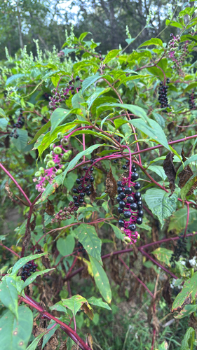
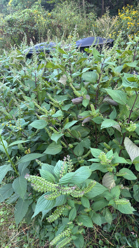
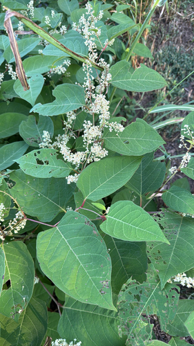
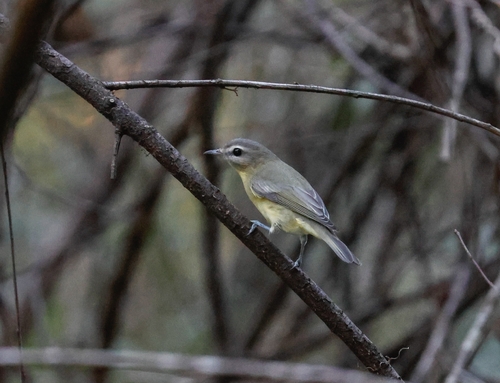
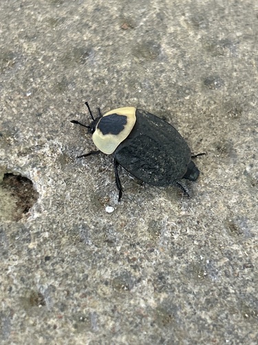
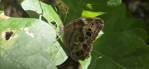
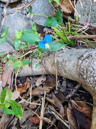
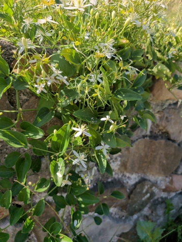
Research-grade observations from iNaturalist (within ~15 mi).
Nearest stream gauge
Live readings from USGS NWIS · measured 2026-10-16 15:40 UTC.
Events
Notable, recurring, and historical events associated with Roanoke, sourced from Wikidata.
Source: Wikidata (CC0).
Gallery
Geotagged photos within ~6 miles of Roanoke, from Wikimedia Commons contributors.
 0.3 mi
 0.3 mi
 0.6 mi
 0.6 mi
 0.7 mi
.jpg) 0.7 mi
0.7 mi.jpg) 0.7 mi
0.7 mi.jpg) 0.7 mi
0.7 mi.jpg) 0.7 mi
0.7 mi.jpg) 0.7 mi
0.7 mi.jpg) 0.7 mi
0.7 mi.jpg) 0.7 mi
0.7 mi.jpeg) 0.7 mi
0.7 mi.jpeg) 0.7 mi
0.7 mi.jpeg) 0.7 mi
0.7 mi.jpg) 0.7 mi
0.7 mi.jpeg) 0.7 mi
0.7 mi.jpeg) 0.7 mi
0.7 mi.jpeg) 0.7 mi
0.7 mi.jpeg) 0.7 mi
0.7 mi.jpeg) 0.7 mi
0.7 mi.jpeg) 0.7 mi
0.7 mi.jpeg) 0.7 mi
0.7 mi.jpeg) 0.7 mi
0.7 miPhotos via Wikimedia Commons — see each image page for license & attribution.
Sources
- • Wikipedia
- • US Census Bureau (ACS 5-year estimates)
- • NOAA National Weather Service
- • Wikimedia Commons
- • Wikidata
- • USGS NWIS (water data)
- • NCES via Urban Institute Education Data Portal
- • GBIF (Global Biodiversity Information Facility)
- • iNaturalist
- • CDC PLACES
- • Open-Meteo / sunrise-sunset.org
- • Wikipedia Pageviews API
- • Open Library
- • NASA EONET