Browse / United States / Virginia / Virginia Beach
Virginia Beach
Virginiacity

Virginia Beach
Total population
454,808
Median home value
$403,200
Bachelor's+
Median income
$94,579
Founded
1906
Air quality index
Demographic figures from US Census Bureau · ACS 5-year estimates. Overview below cites Wikipedia and may reference a different year.
- Coastal Flood Watch · ModerateCoastal Flood Watch issued October 16 at 3:47PM EDT until October 20 at 8:00AM EDT by NWS Wakefield VA
- High Surf Advisory · MinorHigh Surf Advisory issued October 16 at 3:47PM EDT until October 19 at 6:00PM EDT by NWS Wakefield VA
- Wind Advisory · ModerateWind Advisory issued October 16 at 1:11PM EDT until October 17 at 8:00PM EDT by NWS Wakefield VA
Source: NOAA National Weather Service.
City facts
Facts from Wikidata (CC0).
Overview
Virginia Beach is the most populous city in the U.S. commonwealth of Virginia. The city is located on the Atlantic Ocean at the mouth of the Chesapeake Bay in southeastern Virginia. It is the sixth-most populous city in the Mid-Atlantic and the Northeast, ninth-most populous in the Southeast, and the 43rd-most populous city in the U.S. with a population of 459,470 at the 2020 census. Virginia Beach is a principal city in the Hampton Roads metropolitan area, which has more than 1.8 million inhabitants and is the 37th-largest metropolitan area in the U.S.
Read more on WikipediaHistory & geography
History
The Chesepian were the historic indigenous people of the area now known as Tidewater in Virginia at the time of European encounter. Little is known about them but archeological evidence suggests they may have been related to the Carolina Algonquian, or Pamlico people. They would have spoken one of the Algonquian languages. These were common among the numerous tribes of the coastal area, who made up the loose Powhatan Confederacy, numbering in the tens of thousands in population. The Chesepian occupied an area which is now defined as the independent cities of Norfolk, Portsmouth, Chesapeake, and Virginia Beach. In 1607, after a voyage of 144 days, three ships headed by Captain Christopher Newport, and carrying 105 men and boys, made their first landfall in the New World on the mainland, where the southern mouth of the Chesapeake Bay meets the Atlantic Ocean. They named it Cape Henry, after Henry Frederick, Prince of Wales, the eldest son of King James I of England. These English colonists of the Virginia Company of London moved on from this area, as they were under orders to seek a site further inland, which would be more sheltered from ships of competing European countries. They created their first permanent settlement on the north side of the James River at Jamestown. Adam Thoroughgood (1604–1640) of King's Lynn, Norfolk, England is one of the earliest Englishmen to settle in this area, which was developed as Virginia Beach. At the age of 18, he had contracted as an indentured servant to pay for passage to the Virginia Colony in the hopes of bettering his life. He earned his freedom after several years and became a leading citizen of the area. In 1629, he was elected to the House of Burgesses for Elizabeth Cittie , one of four "cities" (or incorporations) which were…
Geography
Virginia Beach is located at . According to the United States Census Bureau, the city has a total area of , of which is land and (50.8%) is water. The Hampton Roads metropolitan area (officially the Virginia Beach–Norfolk–Newport News, VA–NC Metropolitan Statistical Area) is the 37th largest in the United States, with a total population of 1.7 million. While Virginia Beach is the most populated city within the metropolitan area, it functions as a suburb. Virginia Beach is east of Norfolk, Virginia, northeast of Chesapeake, Virginia, south of Washington, D.C., southeast of Richmond, Virginia, and northeast of Raleigh, North Carolina. When the modern city of Virginia Beach was created in 1963, by the consolidation of the Princess Anne County with the City of Virginia Beach, the newly larger city was divided into seven boroughs: Bayside, Blackwater, Kempsville, Lynnhaven, Princess Anne, Pungo, and Virginia Beach. Virginia Beach has many distinctive communities and neighborhoods within its boundaries, including: Alanton, Aragona Village, the largest sub-division in Tidewater when completed, Bay Colony, Bayside, Cape Henry, Chesapeake Beach, Croatan Beach, Great Neck Point, Green Run, Kempsville, Larkspur, London Bridge, Lynnhaven, Newtown, The North End, Oceana, Ocean Park, Pembroke Manor, Princess Anne, Pungo, Red Mill Commons, Sandbridge, Shadowlawn, Thalia, and Thoroughgood. The climate of Virginia Beach is humid subtropical (Köppen: Cfa). For the Trewartha climate classification the climate is the northern limit of Cf (subtropical). Much of the year in Virginia Beach is mild to warm. The long summer season from late May through late September is often hot and humid, with frequent (but brief) late day thundershowers. Winters are cool with little frozen…
Excerpted from the corresponding Wikipedia article (CC BY-SA).
Demographics & economy
Race & ethnicity
Source: US Census Bureau — American Community Survey, 5-year estimates.
Geography
Coordinates & boundaries from the US Census TIGER/Line shapefiles.
Climate
10-year averages from ERA5 reanalysis (Open-Meteo).
Current forecast
Forecast for Virginia Beach, VA from NOAA NWS API.
Air quality
Current readings from Open-Meteo Air Quality API (Copernicus CAMS European reanalysis).
Industrial & pollution facilities
Natural hazard risk
Health (adults)
Age-adjusted prevalence estimates from CDC PLACES (latest release).
Walkability
Amenities nearby
Wildlife & biodiversity
Most-observed species
- American CrowCorvus brachyrhynchos C.L.Brehm, 1822 · Aves26,081
- Northern CardinalCardinalis cardinalis (Linnaeus, 1758) · Aves24,816
- Carolina WrenThryothorus ludovicianus (Latham, 1790) · Aves22,686
- Double-crested CormorantPhalacrocorax auritus (Lesson, 1831) · Aves19,821
- Carolina ChickadeePoecile carolinensis (Audubon, 1834) · Aves19,689
- Yellow-rumped WarblerSetophaga coronata (Linnaeus, 1766) · Aves16,254
- Great Blue/Cocoi HeronArdea herodias Linnaeus, 1758 · Aves15,218
- Northern MockingbirdMimus polyglottos (Linnaeus, 1758) · Aves14,745
Citizen-science & research observations from the Global Biodiversity Information Facility (GBIF).
Schools
Largest nearby schools
- LANDSTOWN HIGHHigh · Virginia Beach · 2,226 students · 17.1:1 ratio
- KEMPSVILLE HIGHHigh · Virginia Beach · 2,006 students · 17.9:1 ratio
- BAYSIDE HIGHHigh · Virginia Beach · 1,983 students · 16.3:1 ratio
- FLOYD KELLAM HIGHHigh · Virginia Beach · 1,882 students · 17.6:1 ratio
- TALLWOOD HIGHHigh · Virginia Beach · 1,861 students · 15.6:1 ratio
- OCEAN LAKES HIGHHigh · Virginia Beach · 1,855 students · 15.2:1 ratio
- FIRST COLONIAL HIGHHigh · Virginia Beach · 1,797 students · 17.1:1 ratio
- PRINCESS ANNE HIGHHigh · Virginia Beach · 1,717 students · 14.4:1 ratio
Public K–12 schools within ~10 mi from Urban Institute Education Data Portal (NCES Common Core of Data, 2022).
Earthquake history
Photos
Sights & places nearby
Notable people from here


People born within ~10 km, from Wikidata (CC0). Click any name for their Wikipedia article.
Nearby places in Virginia
- Poquoson28.5 mi away
- Carrollton29.4 mi away
- Bethel Manor31 mi away
- Cheriton35.7 mi away · pop. 555
- Yorktown41.4 mi away
- Gloucester Point42.6 mi away · pop. 11,109
- Ivor48.6 mi away · pop. 301
- Williamsburg50.5 mi away
- Surry50.8 mi away
- Southampton Meadows51.5 mi away
- Willis Wharf52.5 mi away
- Savage Town54.7 mi away
Geography & sun
Elevation, sunrise/sunset and daylight from Open-Meteo. Solar climatology from NASA POWER.
Nearby airports
Public attention
Pageview totals from the Wikimedia Pageviews API.
Books about Virginia Beach


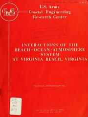

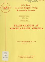
Search results from Open Library.
Recent natural events nearby
Ground air-quality sensors
Recently spotted species
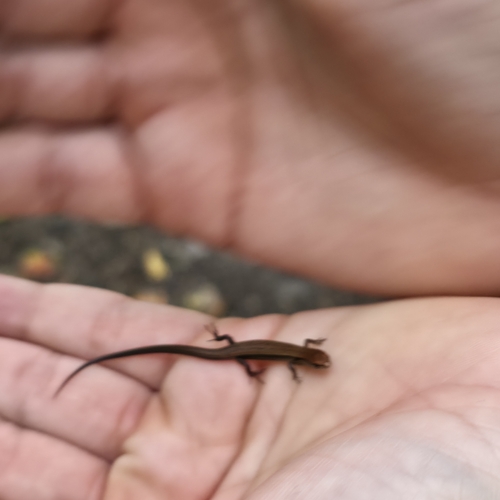
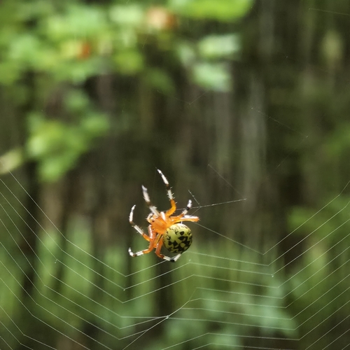
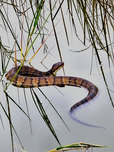
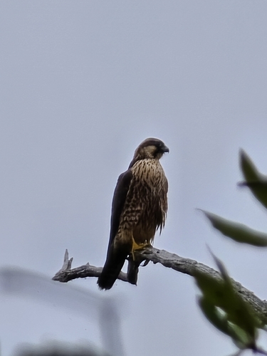
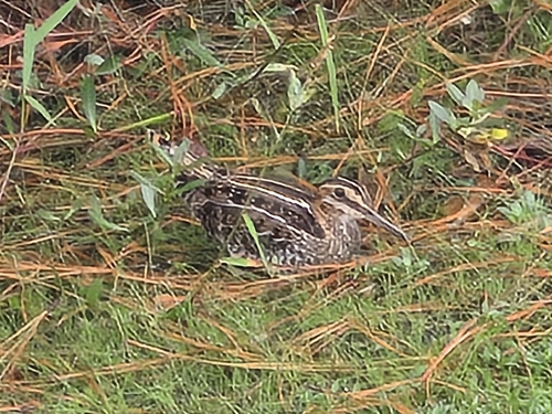
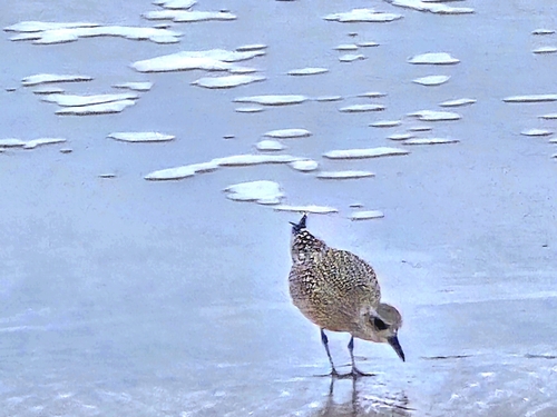
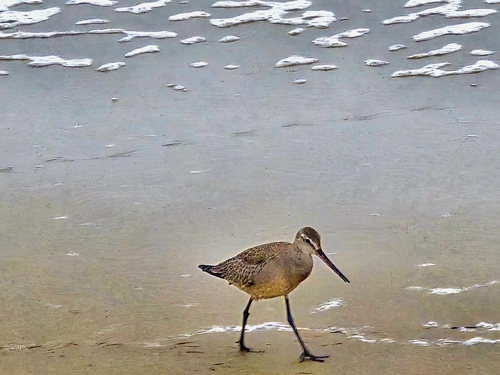
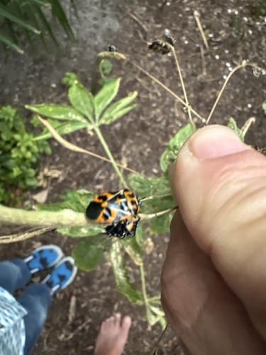
Research-grade observations from iNaturalist (within ~15 mi).
Nearest stream gauge
Live readings from USGS NWIS · measured 2026-10-16 19:25 UTC.
Events
Gallery
Sources
- • Wikipedia
- • US Census Bureau (ACS 5-year estimates)
- • Open-Meteo (ERA5 reanalysis)
- • NOAA National Weather Service
- • Wikidata
- • Open-Meteo Air Quality (CAMS)
- • USGS NWIS (water data)
- • NCES via Urban Institute Education Data Portal
- • GBIF (Global Biodiversity Information Facility)
- • iNaturalist
- • CDC PLACES
- • Open-Elevation
- • Open-Meteo / sunrise-sunset.org
- • Wikipedia Pageviews API
- • Open Library