Browse / Venezuela / Venezuela / Cabimas
Cabimas
Venezuelacity

Cabimas
Total population
299,108
Founded
1758
Air quality index
Demographic figures from INE Venezuela. Overview below cites Wikipedia and may reference a different year.
City facts
Facts from Wikidata (CC0).
Overview
Cabimas is a city on the shore of Maracaibo Lake in Zulia State in northwestern Venezuela. In 2005, its population was around 200,859.
Read more on WikipediaHistory & geography
History
Cabimas was founded by a group of Cistercians monks in 1758 as the Mission of Saint Ambrosio of Punta de Piedra, located in the modern day "La Mision". Some archeological remains have been found, however not a single wall survives. The existence of Cabimas is stated in the chronicles of Venezuelan Archbishop Mariano Marti who visited the town in 1771. The town grew as a fishing village on Lake Maracaibo's coast until the discovery of oil by the Venezuelan Oil Concessions (VOC) with the well Santa Barbara (R2) in 1917. However, it was the well "Los Barrosos 2" (R4) (1922) which 100,000 bpd blow out reached the world newspaper's headlines. Many oil companies and workers from other parts of Venezuela and abroad came to Cabimas, increasing its population. Most foreign personnel were of American or Dutch origin. La Rosa Oilfield was given in concession by Venezuela president Juan Vicente Gómez.
Geography
The weather is hot and humid with an average of over 30 °C year round. The oil well flares produce large amounts of carbon dioxide (CO2), which produces greenhouse effects which make the place even hotter. Precipitation is low during most of the year but the rain is heavy during the wet season. The terrain is mainly flat with noticeable depressions which were former lagoons, dried to build houses, for instance, Guavina (alligator) a place in Guavina is still called "the swamp", and the "Bajaíta del Tuerto Teófilo" ("One eyed Teófilo's slope"). The soil is made of sand deposits and very few rocks. This, combined with aquifers, allows erosion during the rainy season making the streets collapse, producing notorious holes in the streets.
Excerpted from the corresponding Wikipedia article (CC BY-SA).
Geography
Coordinates & boundaries from the US Census TIGER/Line shapefiles.
Climate
Air quality
Current readings from Open-Meteo Air Quality API (Copernicus CAMS European reanalysis).
Walkability
Amenities nearby
Wildlife & biodiversity
Most-observed species
- Carib GrackleQuiscalus lugubris Swainson, 1838 · Aves50
- Great EgretArdea alba Linnaeus, 1758 · Aves50
- Snowy EgretEgretta thula (Molina, 1782) · Aves49
- Magnificent FrigatebirdFregata magnificens Mathews, 1914 · Aves44
- Scaled DoveColumbina squammata (R.Lesson, 1831) · Aves44
- Red-crowned WoodpeckerMelanerpes rubricapillus (Cabanis, 1862) · Aves40
- Southern LapwingVanellus chilensis (Molina, 1782) · Aves37
- Tropical KingbirdTyrannus melancholicus Vieillot, 1819 · Aves35
Citizen-science & research observations from the Global Biodiversity Information Facility (GBIF).
Earthquake history
Most recent
- M 4.6 — 2026-01-0126 km NE of La Villa del Rosario, Venezuela
- M 4.6 — 2025-12-0216 km NE of Mene Grande, Venezuela
- M 4.5 — 2025-10-1519 km ENE of Mene Grande, Venezuela
- M 4.4 — 2025-10-1517 km E of Mene Grande, Venezuela
- M 4.5 — 2025-09-306 km NW of Mene Grande, Venezuela
- M 4.5 — 2025-09-2519 km ENE of Mene Grande, Venezuela
Events from the USGS Earthquake Catalog (global) (FDSN Event Web Service).
Photos
Sights & places nearby
Notable people from here


People born within ~10 km, from Wikidata (CC0). Click any name for their Wikipedia article.
Nearby places in Venezuela
- Bazargan7083.2 mi away · pop. 9,000
- Ha Mochekoane7104.1 mi away
- Ha Mpo7104.7 mi away
- Ha Khoane7105.6 mi away
- Majoematso7105.6 mi away
- Ha 'Mantšebo7105.7 mi away
- Motse-Mocha (Machekoaneng)7107.1 mi away
- Makeneng7107.2 mi away
- Ha Gideone7107.5 mi away
- Ramokholokotha7107.8 mi away
- Ha Takalimane7107.9 mi away
- Ha Mafa7107.9 mi away
Geography & sun
Elevation, sunrise/sunset and daylight from Open-Meteo. Solar climatology from NASA POWER.
Nearby airports
Public attention
Pageview totals from the Wikimedia Pageviews API.
Books about Cabimas


Search results from Open Library.
Recent natural events nearby
Ground air-quality sensors
Recently spotted species
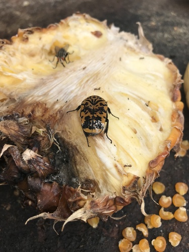
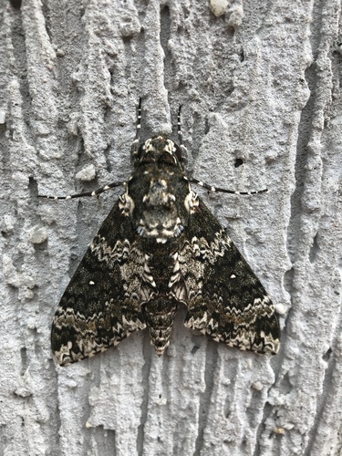
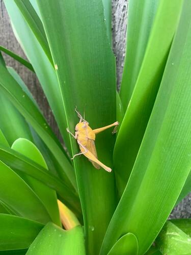
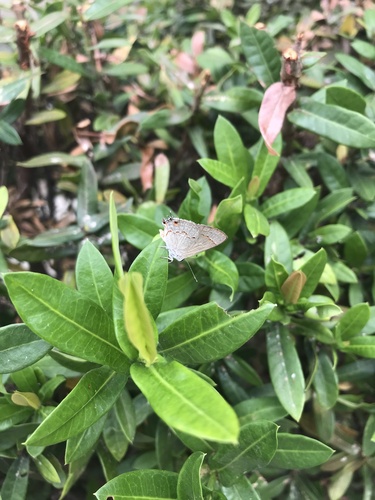
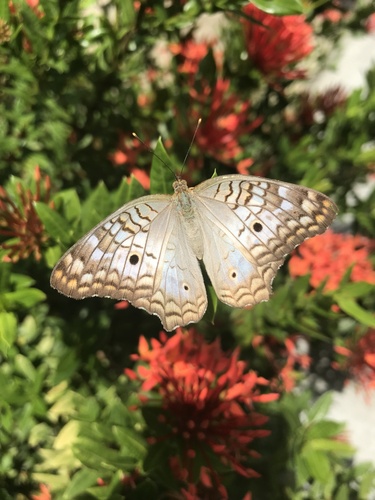
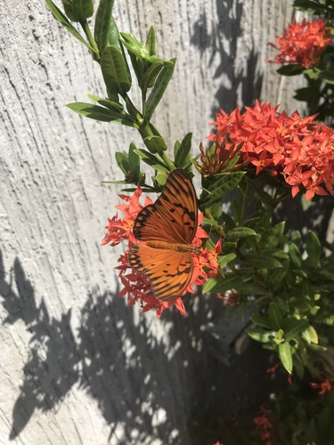
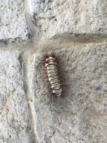
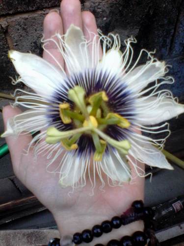
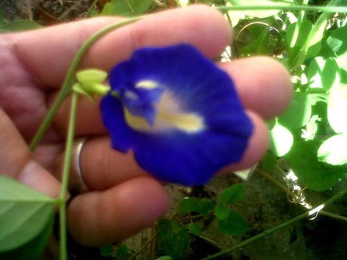
Research-grade observations from iNaturalist (within ~15 mi).
Events
Notable, recurring, and historical events associated with Cabimas, sourced from Wikidata.
- Nov 26, 2006
Source: Wikidata (CC0).
Gallery
Geotagged photos within ~6 miles of Cabimas, from Wikimedia Commons contributors.


Photos via Wikimedia Commons — see each image page for license & attribution.
Sources
- • Wikipedia
- • Wikimedia Commons
- • Wikidata
- • Open-Meteo Air Quality (CAMS)
- • USGS Earthquake Catalog (global feed)
- • GBIF (Global Biodiversity Information Facility)
- • iNaturalist
- • Open-Meteo / sunrise-sunset.org
- • Wikipedia Pageviews API
- • Open Library