Browse / Venezuela / Venezuela / Caracas
Caracas
Venezuelacity

Caracas
Total population
3,523,959
Founded
1567
Air quality index
Demographic figures from INE Venezuela. Overview below cites Wikipedia and may reference a different year.
City facts
Sister cities
Facts from Wikidata (CC0).
Overview
Caracas, officially Santiago de León de Caracas (CCS), is the capital and largest city of Venezuela, and the center of the Metropolitan Region of Caracas. It is located along the Guaire River in the northern part of Venezuela, within the Caracas Valley of the Venezuelan coastal mountain range. The valley is close to the Caribbean Sea, separated from the shore by a steep 2,200-meter-high (7,200-foot) mountain range, Cerro El Ávila. To the south there are more hills and mountains that form the valley. The Metropolitan Region of Caracas has an estimated population of over 5 million inhabitants.
Read more on WikipediaHistory & geography
History
Before the city was founded in 1567, the valley of Caracas was populated by indigenous peoples. Francisco Fajardo, the son of a Spanish captain and a Guaiqueri cacica, who came from Margarita, began establishing settlements in the area of La Guaira and the Caracas valley between 1555 and 1560. Fajardo attempted to establish a plantation in the valley in 1562 after these coastal towns proved unsuccessful, but it did not last long, being destroyed by natives of the region led by Terepaima and Guaicaipuro. Fajardo's 1560 settlement was known as Hato de San Francisco, and another attempt in 1561 by Juan Rodríguez de Suárez was called Villa de San Francisco, and was also destroyed by the same native people. The eventual settlers of Caracas came from Coro, the capital of the German Klein-Venedig colony located around the present-day coastal Colombia–Venezuela border. From the 1540s, the colony had been de facto controlled by Spaniards. Moving eastward from Coro, groups of Spanish settlers founded inland towns including Barquisimeto and Valencia, before reaching the Caracas valley. under the province's new governor Juan de Pimentel, leader from 1576–1583. The city managed to rebuild, using wheat profits and "a lot of sacrifice". and then the successful 1811 Venezuelan Declaration of Independence. Urban reforms only took place towards the end of the 19th century, under Antonio Guzmán Blanco: some landmarks were built, but the city remained distinctly colonial until the 1930s. the Caracas Museum of Contemporary Art; and the Teresa Carreño Cultural Complex were built, as well as the Caracas Metro and a developed downtown area. Urban development was rapid, leading to the growth of slums on the hillsides surrounding the new city. Much of the city development also fell into…
Geography
Caracas is contained entirely within a valley of the Venezuelan Central Range, and is separated from the Caribbean coast by a roughly expanse of El Ávila National Park. The valley is relatively small and quite irregular. The altitude varies between above sea level; the historic center lies at about above sea level. This, along with the rapid population growth, has profoundly influenced the urban development of the city. The most elevated point of the Capital District, wherein the city is located, is the Pico El Ávila, which rises to . The city is occasionally subject to earthquakes – notably in 1641 and 1967. Geologically, Caracas was formed in the Late Cretaceous period, with much of the rest of the Caribbean, and sits on what is mostly metamorphic rock. Deformation of the land in this period formed the region. Under the Köppen climate classification, Caracas has a tropical savanna climate (Aw), milder due to the elevation and within the Venezuelan Coastal Range (Maritime Andes). Caracas precipitation varies between (annual), in the city proper to in some parts of the Mountain range. While Caracas is within the tropics, due to its altitude, temperatures are cooler compared to other locations with a typical tropical savanna climate. The annual average temperature is approximately . The average of the coldest month, January, is . The average of the warmest month, May, is , which gives a small annual thermal amplitude of . This peculiar weather is known by the natives of Caracas as the Pacheco. Nightly temperatures year round are much (7 to 11 °C) lower than daytime highs and usually do not remain above , resulting in very pleasant evening temperatures. Hailstorms appear in Caracas, although only on rare occasions. Electrical storms are much more frequent,…
Excerpted from the corresponding Wikipedia article (CC BY-SA).
Geography
Coordinates & boundaries from the US Census TIGER/Line shapefiles.
Climate
Air quality
Current readings from Open-Meteo Air Quality API (Copernicus CAMS European reanalysis).
Walkability
Amenities nearby
Wildlife & biodiversity
Most-observed species
- Black VultureCoragyps atratus (Bechstein, 1793) · Aves39,805
- Blue-gray TanagerThraupis episcopus (Linnaeus, 1766) · Aves32,645
- Tropical KingbirdTyrannus melancholicus Vieillot, 1819 · Aves29,777
- Southern House WrenTroglodytes musculus J.F.Naumann, 1823 · Aves26,848
- Blue-and-yellow MacawAra ararauna (Linnaeus, 1758) · Aves24,196
- Great KiskadeePitangus sulphuratus (Linnaeus, 1766) · Aves23,732
- Chestnut-fronted MacawAra severus (Linnaeus, 1758) · Aves21,954
- Saffron FinchSicalis flaveola (Linnaeus, 1766) · Aves17,358
Citizen-science & research observations from the Global Biodiversity Information Facility (GBIF).
Earthquake history
Most recent
- M 4.8 — 2026-06-2735 km NNE of El Limón, Venezuela
- M 4.7 — 2026-06-2654 km N of El Limón, Venezuela
- M 4.4 — 2026-06-255 km NE of Guatire, Venezuela
- M 4.5 — 2026-06-2413 km N of Caucagüito, Venezuela
- M 3.8 — 2026-05-1715 km N of Guatire, Venezuela
- M 4.5 — 2017-08-3025 km NNE of Guatire, Venezuela
Events from the USGS Earthquake Catalog (global) (FDSN Event Web Service).
Photos
Sights & places nearby
Notable people from here


People born within ~10 km, from Wikidata (CC0). Click any name for their Wikipedia article.
Geography & sun
Elevation, sunrise/sunset and daylight from Open-Meteo. Solar climatology from NASA POWER.
Nearby airports
Public attention
Pageview totals from the Wikimedia Pageviews API.
Books about Caracas

Search results from Open Library.
Recent natural events nearby
Ground air-quality sensors
Recently spotted species
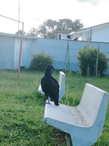
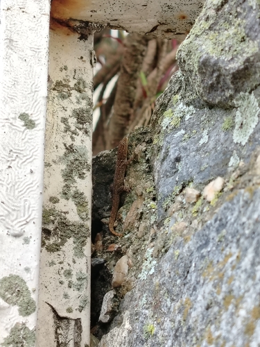
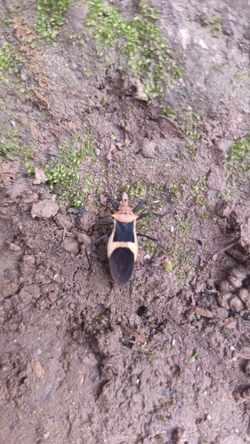
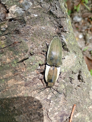
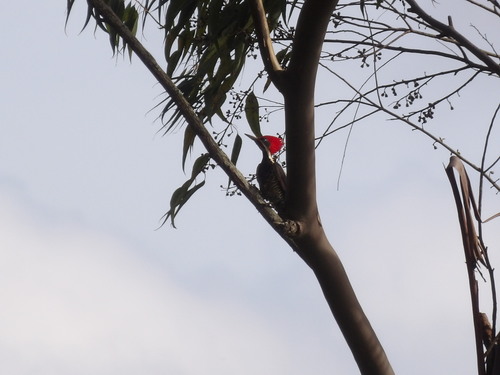
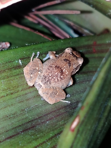
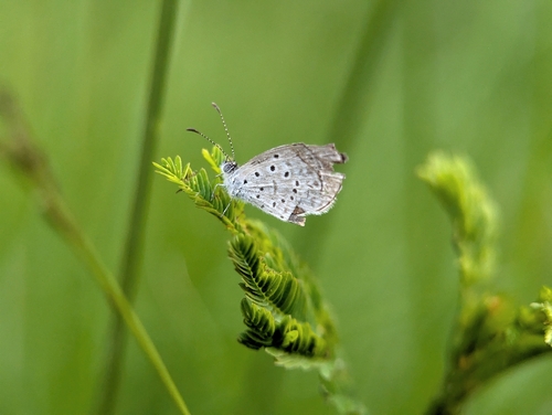
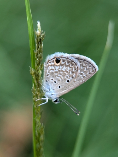
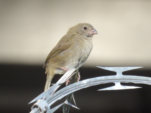
Research-grade observations from iNaturalist (within ~15 mi).
Events
Notable, recurring, and historical events associated with Caracas, sourced from Wikidata.
- Jan 1, 1983
- 1959 Central American and Caribbean GamesJan 1, 1959recurring event edition
8th edition of the Central American and Caribbean Games
Source: Wikidata (CC0).
Gallery
Geotagged photos within ~6 miles of Caracas, from Wikimedia Commons contributors.
 0 mi
0 mi 0 mi
0 mi 0 mi
0 mi 0 mi
0 mi 0 mi
0 mi 0 mi
0 mi 0 mi
0 mi 0 mi
0 mi 0 mi
0 mi 0 mi
0 mi 0 mi
0 mi 0 mi
0 mi 0 mi
0 mi 0 mi
0 mi 0 mi
0 mi 0 mi
0 mi 0 mi
0 mi 0 mi
0 mi 0 mi
0 mi 0 mi
0 mi 0 mi
0 mi 0.1 mi
 0.1 mi
 0.1 mi
Photos via Wikimedia Commons — see each image page for license & attribution.
Sources
- • Wikipedia
- • Wikimedia Commons
- • Wikidata
- • Open-Meteo Air Quality (CAMS)
- • USGS Earthquake Catalog (global feed)
- • GBIF (Global Biodiversity Information Facility)
- • iNaturalist
- • Open-Meteo / sunrise-sunset.org
- • Wikipedia Pageviews API
- • Open Library