Browse / Venezuela / Venezuela / Chirgua
Chirgua
Venezuelatown
Total population
1,000
Air quality index
Demographic figures from INE Venezuela. Overview below cites Wikipedia and may reference a different year.
City facts
Overview
Set in Venezuela, Chirgua is recorded in open geodata as a small town. Population sits at roughly 1,000 according to the open data we track. Chirgua maps to 10.358°, -64.176° — squarely within the tropical belt. Climatically, locations at this latitude tend to experience warm temperatures throughout the year with pronounced wet and dry seasons. Meteorological summaries report average highs near 87.2°F and lows near 73.4°F, together with about 68.2 in of annual precipitation (a wet total). Further detail — demographics, climate, nearby amenities and natural-hazard data — is compiled below from public open-data sources.
Summary composed automatically from structured open data on this page. See our Terms for details.
History & geography
Geography
Coordinates & boundaries from the US Census TIGER/Line shapefiles.
Climate
10-year averages from ERA5 reanalysis (Open-Meteo).
Air quality
Current readings from Open-Meteo Air Quality API (Copernicus CAMS European reanalysis).
Walkability
Amenities nearby
Wildlife & biodiversity
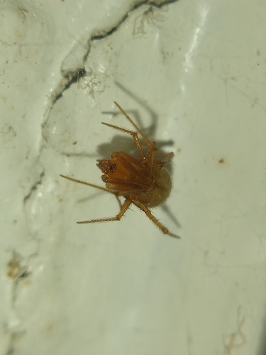
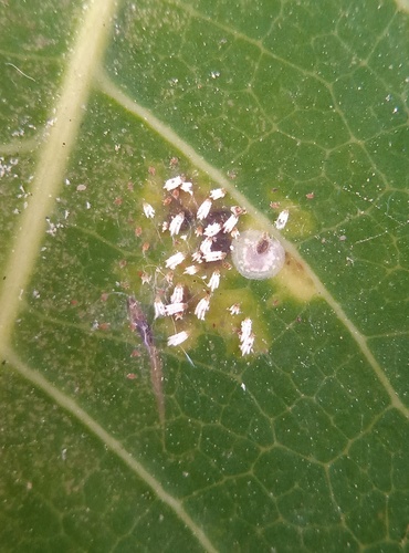
Most-observed species
- Gray Wall JumperMenemerus bivittatus (Dufour, 1831) · Arachnida75
- western honey beeApis mellifera Linnaeus, 1758 · Insecta70
- Green iguanaIguana iguana (Linnaeus, 1758) · Squamata68
- Stagmatoptera femoralis Saussure & Zehntner, 1894Stagmatoptera femoralis Saussure & Zehntner, 1894 · Insecta65
- Erythrogonia quadriguttata (Fabricius, 1787)Erythrogonia quadriguttata (Fabricius, 1787) · Insecta62
- Common Australian lady beetleCoelophora inaequalis (Fabricius, 1775) · Insecta57
- Epitragus aurulentusEpitragus aurulentus · Insecta56
- Oleander aphidAphis nerii Boyer de Fonscolombe, 1841 · Insecta47
Citizen-science & research observations from the Global Biodiversity Information Facility (GBIF).
Earthquake history
Most recent
- M 4.4 — 2024-07-2533 km WNW of Araya, Venezuela
- M 4.5 — 2024-04-0745 km N of Puerto Píritu, Venezuela
- M 4.9 — 2023-05-1124 km ENE of San Antonio, Venezuela
- M 4.5 — 2020-10-1715 km SSE of Porlamar, Venezuela
- M 4.4 — 2020-10-1318 km S of Porlamar, Venezuela
- M 5.4 — 2019-09-0926 km WNW of Cumaná, Venezuela
Events from the USGS Earthquake Catalog (global) (FDSN Event Web Service).
Photos
Sights & places nearby
Notable people from here
Geography & sun
Nearby airports
Public attention
Books about this place
Recent natural events nearby
Ground air-quality sensors
Recently spotted species
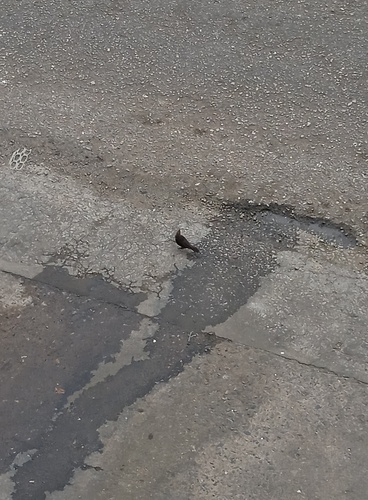
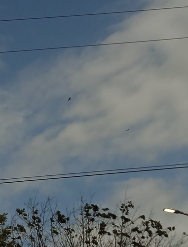
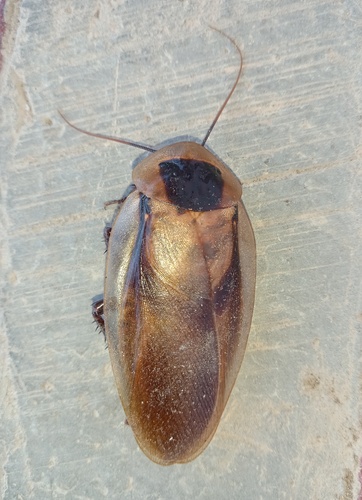
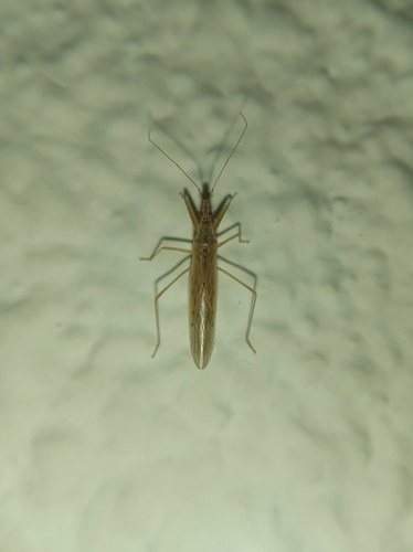
Research-grade observations from iNaturalist (within ~15 mi).
Events
Gallery
Sources
- • Open-Meteo (ERA5 reanalysis)
- • Open-Meteo Air Quality (CAMS)
- • USGS Earthquake Catalog (global feed)
- • GBIF (Global Biodiversity Information Facility)
- • iNaturalist