Browse / Venezuela / Venezuela / Ciudad Bolivar
Ciudad Bolivar
Venezuelacity

Ciudad Bolivar
Total population
567,693
Founded
1764
Air quality index
Demographic figures from INE Venezuela. Overview below cites Wikipedia and may reference a different year.
City facts
Facts from Wikidata (CC0).
Overview
Ciudad Bolívar, formerly known as Angostura and St. Thomas de Guyana, is the capital of Venezuela's southeastern Bolívar State. It lies at the spot where the Orinoco River narrows to about 1 mile (1.6 km) in width, is the site of the first bridge across the river, and is a major riverport for the eastern regions of Venezuela.
Read more on WikipediaHistory & geography
History
Originally a Spanish settlement, it was called Santo Tomé de Guayana (Saint Thomas of Guyana). The settlement was a fortified port which had to be moved on three occasions because it was constantly attacked by Carib natives and European rivals, such as the Dutch and English. The first settlements were located downstream from Ciudad Bolívar. In 1576 Saint Thomas of Guyana was located near present-day Ciudad Guayana which is at the confluence with the Caroní River. Dutch forces led by Captain Adrian Janson destroyed the town in 1579. Fernando de Berrio was present on March 11, 1619 in the destroyed Saint Thomas of Guyana with the credentials granted by the Royal Audience of Santa Fe, just a few months after the decapitation of Raleigh in 1618. The first task was the reconstruction of Saint Thomas of Guyana on the sides of Chirica, a more defensible and suitable place for tobacco cultivation. Berrio commissioned Captain Jerónimo de Grados and Alonso de Monteros to recruit indigenous in the Esequibo River, but they were captured by British pirates for whose freedom they intended to collect a ransom translated into a few quintals of tobacco in branch. Finally Saint Thomas of Guyana was refounded by Fernando de Berrio in 1620. In 1629, English and Dutch pirates, under the command of Adrian Jansz Pater, attacked and destroyed Saint Thomas of Guyana and afterwards fortified themselves in the branches and creeks of the Orinoco River. In 1637 the Dutch, settled at the mouths of the Amakura, Essequibo and Berbice, again attacked and burned Saint Thomas of Guyana and raided Trinidad. The fourth and present day city was officially founded in 1764 by Don Joaquin Moreno de Mendoza as San Tomas de la Nueva Guayana, named in honor of its diocese and for its position at the first…
Geography
Moriche palms and scrub oaks are found on the shores of the river. Species including the carob tree, the sarrapia (tonka bean), and the merecure are prevalent. Local fauna include capybaras, turtles, herons, parrots, limpets, and iguanas, and others. Fish in the area include Salminus hilarii (a species of Salminus) and Pygocentrus palometa. Under the Köppen climate classification, Ciudad Bolívar has a tropical savanna climate (Aw) with distinctive dry and wet seasons. The average temperature is which remains fairly constant throughout the year, varying between in January to in October. The dry season, which runs from December to April has little precipitation during these months and temperatures tend to be cooler than the wet season but still hot, regularly reaching during the day and dropping to during the night. The wet season which runs from May to early November sees and increase in precipitation levels although days without any precipitation are common. Temperatures tend to be slightly warmer than the dry season. On average, Ciudad Bolívar receives of precipitation per year and there are 89.3 days with measureable rainfall. The city is fairly sunny, averaging almost 2900 hours of bright sunshine or an average of 7.9 hours of sunshine per day, ranging from a high of 260.4 hours in October (8.4 hours of sunshine per day) to a low of 201.0 hours in June (or 6.7 hours of sunshine per day). | source 2 = Instituto Nacional de Meteorología e Hidrología (humidity 1970–1998) }}
Excerpted from the corresponding Wikipedia article (CC BY-SA).
Geography
Coordinates & boundaries from the US Census TIGER/Line shapefiles.
Climate
Air quality
Current readings from Open-Meteo Air Quality API (Copernicus CAMS European reanalysis).
Walkability
Amenities nearby
Wildlife & biodiversity
Most-observed species
- Blue-gray TanagerThraupis episcopus (Linnaeus, 1766) · Aves89
- Tropical MockingbirdMimus gilvus (Vieillot, 1808) · Aves84
- Scaled DoveColumbina squammata (R.Lesson, 1831) · Aves74
- Saffron FinchSicalis flaveola (Linnaeus, 1766) · Aves67
- Great KiskadeePitangus sulphuratus (Linnaeus, 1766) · Aves61
- Eared DoveZenaida auriculata (Des Murs, 1847) · Aves51
- Southern CaracaraCaracara plancus (J.F.Miller, 1777) · Aves48
- Yellow OrioleIcterus nigrogularis (Hahn, 1819) · Aves47
Citizen-science & research observations from the Global Biodiversity Information Facility (GBIF).
Earthquake history
Most recent
- M 4.4 — 2006-07-0173 km W of Ciudad Bolívar, Venezuela
Events from the USGS Earthquake Catalog (global) (FDSN Event Web Service).
Photos
Sights & places nearby
Notable people from here


People born within ~10 km, from Wikidata (CC0). Click any name for their Wikipedia article.
Nearby places in Venezuela
- Ha Mochekoane6555.7 mi away
- Ha Mpo6556.3 mi away
- Ha 'Mantšebo6557.3 mi away
- Ha Khoane6557.3 mi away
- Majoematso6557.4 mi away
- Motse-Mocha (Machekoaneng)6558.6 mi away
- Makeneng6559.1 mi away
- Ha Gideone6559.2 mi away
- Ramokholokotha6559.2 mi away
- Ha Takalimane6559.4 mi away
- Ha Mafa6559.7 mi away
- Ha Mofoka6561.6 mi away
Geography & sun
Elevation, sunrise/sunset and daylight from Open-Meteo. Solar climatology from NASA POWER.
Nearby airports
Public attention
Pageview totals from the Wikimedia Pageviews API.
Books about Ciudad Bolivar


Search results from Open Library.
Recent natural events nearby
Ground air-quality sensors
Recently spotted species
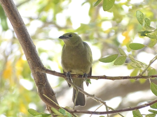
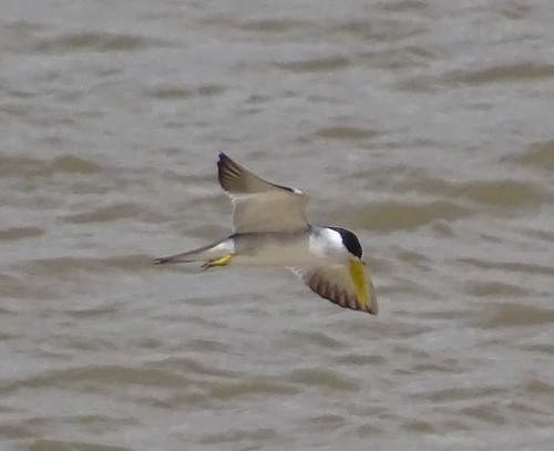
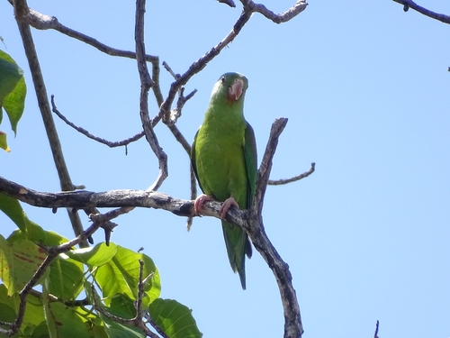
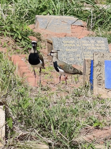
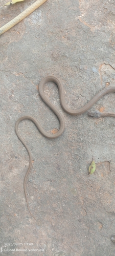
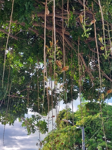
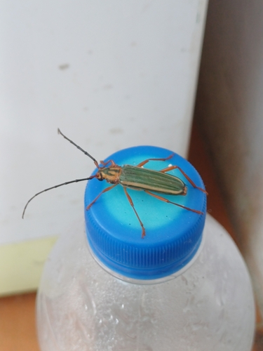
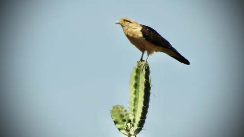
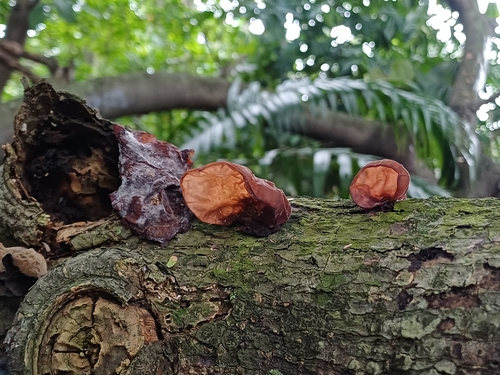
Research-grade observations from iNaturalist (within ~15 mi).
Events
Gallery
Geotagged photos within ~6 miles of Ciudad Bolivar, from Wikimedia Commons contributors.
.jpg) 1.4 mi
1.4 mi.jpg) 1.4 mi
1.4 mi 1.7 mi
_Rutaca_SVCB_200294.jpg) 1.7 mi
1.7 mi.jpg) 1.7 mi
1.7 mi 2.4 mi
 2.4 mi
 2.4 mi
 2.5 mi
 2.5 mi
 2.5 mi
 2.7 mi
 2.8 mi
 2.8 mi
.jpg) 2.9 mi
2.9 mi 3 mi
3 mi 3 mi
3 mi.jpg) 3 mi
3 mi.jpg) 3 mi
3 mi.jpg) 3 mi
3 mi 3.6 mi
 3.7 mi
 4.4 mi
 5.1 mi
Photos via Wikimedia Commons — see each image page for license & attribution.
Sources
- • Wikipedia
- • Wikimedia Commons
- • Wikidata
- • Open-Meteo Air Quality (CAMS)
- • USGS Earthquake Catalog (global feed)
- • GBIF (Global Biodiversity Information Facility)
- • iNaturalist
- • Open-Meteo / sunrise-sunset.org
- • Wikipedia Pageviews API
- • Open Library