Browse / Venezuela / Venezuela / Las Colonias
Las Colonias
Venezuelavillage
Air quality index
Demographic figures from INE Venezuela. Overview below cites Wikipedia and may reference a different year.
City facts
Overview
Set in Venezuela, Las Colonias is recorded in open geodata as a village. Detailed population figures are not currently catalogued in the open data sources we track. Las Colonias maps to 10.399°, -66.097° — squarely within the tropical belt. The location receives about 2,000 kWh/m² of solar irradiance per year and sunshine for roughly 78% of daylight hours. Its latitude implies a climate characterised by warm temperatures throughout the year with pronounced wet and dry seasons. Open-data panels below dive into population trends, climate normals, environmental indicators and nearby places.
Summary composed automatically from structured open data on this page. See our Terms for details.
History & geography
Geography
Coordinates & boundaries from the US Census TIGER/Line shapefiles.
Climate
Air quality
Current readings from Open-Meteo Air Quality API (Copernicus CAMS European reanalysis).
Walkability
Amenities nearby
Wildlife & biodiversity
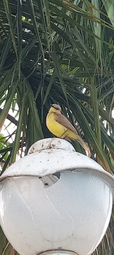
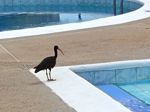
Most-observed species
- Magnificent FrigatebirdFregata magnificens Mathews, 1914 · Aves269
- Black VultureCoragyps atratus (Bechstein, 1793) · Aves253
- Tropical KingbirdTyrannus melancholicus Vieillot, 1819 · Aves194
- Great KiskadeePitangus sulphuratus (Linnaeus, 1766) · Aves191
- Scarlet IbisEudocimus ruber (Linnaeus, 1758) · Aves181
- Brown PelicanPelecanus occidentalis Linnaeus, 1766 · Aves172
- Neotropic CormorantPhalacrocorax brasilianus (Gmelin, 1789) · Aves172
- Great EgretArdea alba Linnaeus, 1758 · Aves157
Citizen-science & research observations from the Global Biodiversity Information Facility (GBIF).
Earthquake history
Most recent
- M 4.6 — 2026-06-2927 km N of Caraballeda, Venezuela
- M 4.4 — 2026-06-255 km NE of Guatire, Venezuela
- M 3.8 — 2026-05-1715 km N of Guatire, Venezuela
- M 4.6 — 2024-05-1955 km ENE of Higuerote, Venezuela
- M 4.7 — 2022-09-1375 km WNW of Barcelona, Venezuela
- M 4.4 — 2020-06-11113 km ENE of Guatire, Venezuela
Events from the USGS Earthquake Catalog (global) (FDSN Event Web Service).
Photos
Sights & places nearby
Notable people from here
Geography & sun
Elevation, sunrise/sunset and daylight from Open-Meteo. Solar climatology from NASA POWER.
Nearby airports
Public attention
Books about Las Colonias
Search results from Open Library.
Recent natural events nearby
Ground air-quality sensors
Recently spotted species


Research-grade observations from iNaturalist (within ~15 mi).
Events
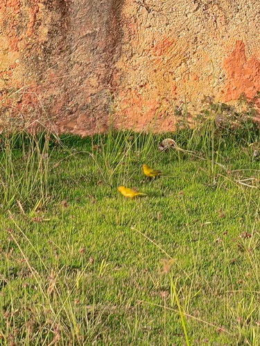
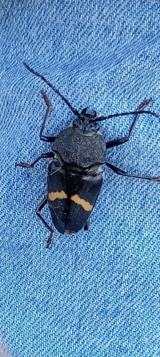
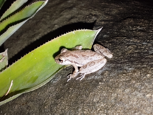
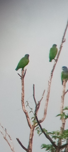
Gallery
Geotagged photos within ~6 miles of Las Colonias, from Wikimedia Commons contributors.

.jpeg)

.jpg)

.jpeg)

Photos via Wikimedia Commons — see each image page for license & attribution.
Sources
- • Wikimedia Commons
- • Open-Meteo Air Quality (CAMS)
- • USGS Earthquake Catalog (global feed)
- • GBIF (Global Biodiversity Information Facility)
- • iNaturalist
- • Open-Meteo / sunrise-sunset.org
- • Open Library