Browse / Venezuela / Venezuela / San Juan de Los Morros
San Juan de Los Morros
Venezuelacity

San Juan de Los Morros
Total population
99,791
Founded
1780
Demographic figures from INE Venezuela. Overview below cites Wikipedia and may reference a different year.
City facts
Facts from Wikidata (CC0).
Overview
San Juan de los Morros is the capital city of Guárico State, located in Venezuela. The city is commonly referred to as the "Gateway to the Central Plains". Having a geography in which majestic mountains prevail, the capital city's population is 120,111,, being the second most populated city in Guárico State, after Calabozo, and is the state's first in population density.
Read more on WikipediaHistory & geography
History
The name Guárico country become certain as of April 9928, 1856, and springs from the river of the same name, the Guarico River, which runs up to Carabobo State. In the dialect of the Caribe Indians the word "guárico" means chief ("cacique"). Guárico state was conformed by 3 indigenous groups: the Arawacos, the Caribes and the Ciparicotos. With the arrival of the Spanish missionaries, the Indians of this vicinity obtained Western customs of dressing, along with cotton planting, when indigenous females learned how to spin. This was how San Juan de los Morros began to be populated in the sixteenth century, in the beginning based on the means of those European visitors, who named it after mountainous formations on the outskirts of the city. San Juan de los Morros, positioned in the mid-north of the country, is a metropolis of sports, travel and college campus of Guárico State, being the gateway to the Central Plains. It seems that by the end of the sixteenth century, the notable landowner, Garci González de Silva, visited its "Morros" filled with gold fever, which was simply referred to as "San Juan". The Historic Center of San Juan de los Morros. Center of San Juan de los Morros Part of the middle of San Juan de los Morros Starting in 1567, a voracious exploration turned into unleashed in Caracas in the direction of the encompassing areas, looking for greater land, gold and Indians to entrust. From those cities arose, amongst them San Juan de La Paz, erected at the banks of the river and the mines, which in 1590, proclaimed to find out Sancho del Villar, who named them: "San Juan, La Platilla, Sangergen and Tiznado and different quebradas". that they have got been very wealthy and plenty of gold has been extracted”. Likewise, in 1594, the land titles have been…
Geography
San Juan de Los Morros has a tropical savanna climate (Köppen Aw) bordering upon a tropical monsoon climate (Am). Its wet season is oppressive and overcast, whilst the dry season is humid and mostly cloudy, and it is hot year round. During the course of the year, the temperature generally ranges from , rarely going below or rising above . Based on the beach/pool score, the best time of year to visit San Juan de Los Morros for hot-weather activities is from late May to late March. In San Juan de Los Morros, the average percentage of the sky covered with clouds varies significantly over the course of the year. The clearest part of the year in San Juan de Los Morros begins around December 12; It lasts 3.3 months and ends around March 21. The clearest month of the year in San Juan de Los Morros is January, during which time the sky is clear, mostly clear, or partly cloudy, on average 37% of the time. The cloudiest part of the year begins around March 21; it lasts 8.7 months and ends around December 12. The cloudiest month of the year in San Juan de Los Morros is May, during which the sky is overcast or mostly cloudy, on average, 80% of the time. To display version over a month and now no longer simply month-to-month totals, we display cumulative rainfall over a 31-day duration on a sliding scale targeted round every day of the 12 months. San Juan de Los Morros experiences great seasonal version in month-to-month rainfall. The wet season lasts for 9.2 months, from March 20 to December 26, with a rolling 31-day span of rain of as a minimum 0. five inches. The month with the maximum rain in San Juan de Los Morros is August, with a mean of a hundred and forty millimeters of rain. The rainless duration of the 12 months lasts for 2. eight months, from December 26 to…
Excerpted from the corresponding Wikipedia article (CC BY-SA).
Geography
Coordinates & boundaries from the US Census TIGER/Line shapefiles.
Climate
Air quality
Walkability
Amenities nearby
Wildlife & biodiversity
Earthquake history
Photos
Sights & places nearby
Notable people from here
Nearby places in Venezuela
- Ha Mochekoane6843.8 mi away
- Ha Mpo6844.4 mi away
- Ha 'Mantšebo6845.4 mi away
- Ha Mofoka6849.8 mi away
- Lehaheng6852.5 mi away
- Ha Mapeshoane6852.6 mi away
- Bazargan6905.9 mi away · pop. 9,000
- Qaraziadin6950.6 mi away · pop. 23,763
- Tazeh Shahr6952.2 mi away · pop. 8,629
- Salmas6955.5 mi away · pop. 97,060
- Sharafkhaneh6992.2 mi away · pop. 4,245
- Khamaneh6998.9 mi away · pop. 3,056
Geography & sun
Elevation, sunrise/sunset and daylight from Open-Meteo. Solar climatology from NASA POWER.
Nearby airports
Public attention
Pageview totals from the Wikimedia Pageviews API.
Books about San Juan de Los Morros
Search results from Open Library.
Recent natural events nearby
Ground air-quality sensors
Recently spotted species

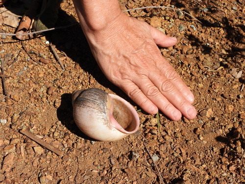


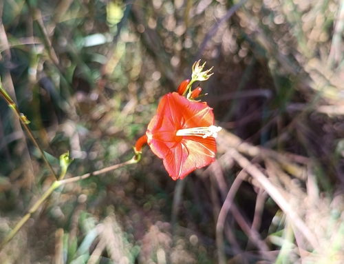

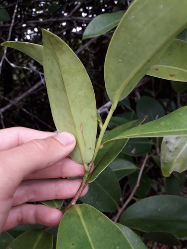
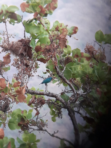
Research-grade observations from iNaturalist (within ~15 mi).
Events
Gallery
Geotagged photos within ~6 miles of San Juan de Los Morros, from Wikimedia Commons contributors.
 0.2 mi
 0.2 mi
 0.4 mi
 0.6 mi
 0.9 mi
 1 mi
1 mi 1.4 mi
 1.5 mi
 1.5 mi
 1.5 mi
 1.7 mi
 2.5 mi
 3.1 mi
 3.1 mi
 3.1 mi
 4 mi
4 mi 4 mi
4 mi 4 mi
4 mi 4 mi
4 miPhotos via Wikimedia Commons — see each image page for license & attribution.
Sources
- • Wikipedia
- • Wikimedia Commons
- • Wikidata
- • iNaturalist
- • Open-Meteo / sunrise-sunset.org
- • Wikipedia Pageviews API
- • Open Library