Browse / United States / Vermont / Burlington
Burlington
Vermontcity

Burlington
Total population
44,675
Median home value
$444,800
Bachelor's+
Median income
$71,109

Founded
1783
Air quality index
Demographic figures from US Census Bureau · ACS 5-year estimates. Overview below cites Wikipedia and may reference a different year.
City facts
Facts from Wikidata (CC0).
Overview
Burlington is the largest city in the U.S. State of Vermont and the county seat of Chittenden County. It is located 45 miles (72 km) south of the Canada–United States border and 95 miles (153 km) south of Montreal. As of the 2020 United States census, the population was 44,743, making Burlington the most populous municipality in Vermont and the least populous U.S. city to be the most populous city within a state.
Read more on WikipediaHistory & geography
History
King George II of Great Britain placed the western border of the Province of New Hampshire east of the Hudson River. However, George III moved the Province of New York's border to the Connecticut River. He stated that the land claims of those currently in the area gained by New York were still valid, but New York courts ruled against the settlers. New Hampshire Governor Benning Wentworth continued to sell land in these areas in direct opposition to New York and royal demands. On June 7, 1763, the grant document for Burlington was awarded to Samuel Willis and 63 others. In the summer of 1775, settlers began clearing the land and built two or three log huts in 1775, but the outbreak of the American Revolutionary War delayed permanent settlement until after its conclusion. The first recorded town meeting was held on March 19, 1787. The origins for the name Burlington is disputed. Benning Wentworth named many areas after rich people. Wealthy New Yorker Edward Burling who held land grants in Colchester, Vermont, or Richard Boyle, 3rd Earl of Burlington, who died a decade before the land grant, are the two candidates for the origin of the name. While no Burling family members are listed as grantees of the town, the family held large tracts of land in nearby towns, some of which were granted on the same day as Burlington. A settler from Burlington, Vermont, named Burlington, Iowa, in honor of it. In 1808, the world's first lake-going steamboat was built in Burlington. The War of 1812 was unpopular in Vermont and the rest of New England, which had numerous trading ties with Canada. Neither Vermont nor other New England states provided militia units or financial support. Vermont voters supported the Federalist Party, which opposed the war. At one point during the war, the…
Geography
The city of Burlington is situated on the eastern shore of Lake Champlain, north of Shelburne Bay. It was built on a strip of land extending about south from the mouth of the Winooski River along the lake shore, and rises from the water's edge to a height of . A large ravine in what is now downtown was filled in with refuse and raw sewage in the 19th century to make way for further development. Burlington is characterized by its neighborhoods, which are generally recognized as follows: * Downtown: The city's commercial hub is north of Maple Street, west of South Willard Street, and mostly south of Pearl Street (as it includes all property along Pearl Street that is west of South Willard Street). * Hill Section: Burlington's wealthiest neighborhood is east of South Union Street and Shelburne Street, and south of Main Street, but excludes UVM and University Terrace while including all of Champlain College. The Hill Section is where the Burlington Country Club is situated. * The Intervale: The Intervale cannot be considered a neighborhood but is a large area encompassing many locally owned organic farms and nature preserves along the Winooski River. Located to the north of the Old North End and east of the New North End, it is included on this list because its total area is larger than that of most neighborhoods in Burlington. * New North End: Burlington's most populous neighborhood, a northwest suburban extension of the city, includes all points north of Burlington High School, as well as Leddy Park, Ethan Allen Park, and North Beach, and is west of Vermont Route 127 (the "Burlington Beltline"). * Old North End: Burlington's oldest and most densely populated neighborhood is north of all property along Pearl Street, west of Hyde Street and North Willard Street, and is…
Excerpted from the corresponding Wikipedia article (CC BY-SA).
Demographics & economy
Race & ethnicity
Source: US Census Bureau — American Community Survey, 5-year estimates.
Geography
Coordinates & boundaries from the US Census TIGER/Line shapefiles.
Climate
10-year averages from ERA5 reanalysis (Open-Meteo).
Current forecast
Forecast for Burlington, VT from NOAA NWS API.
Air quality
Current readings from Open-Meteo Air Quality API (Copernicus CAMS European reanalysis).
Industrial & pollution facilities
Natural hazard risk
Health (adults)
Age-adjusted prevalence estimates from CDC PLACES (latest release).
Walkability
Amenities nearby
Wildlife & biodiversity
Most-observed species
- Black-capped ChickadeePoecile atricapillus (Linnaeus, 1766) · Aves37,864
- American CrowCorvus brachyrhynchos C.L.Brehm, 1822 · Aves32,430
- Northern CardinalCardinalis cardinalis (Linnaeus, 1758) · Aves29,293
- American RobinTurdus migratorius Linnaeus, 1766 · Aves27,965
- American GoldfinchSpinus tristis (Linnaeus, 1758) · Aves25,192
- Blue JayCyanocitta cristata (Linnaeus, 1758) · Aves24,112
- Song SparrowMelospiza melodia (A.Wilson, 1810) · Aves22,447
- Tufted TitmouseBaeolophus bicolor (Linnaeus, 1766) · Aves21,616
Citizen-science & research observations from the Global Biodiversity Information Facility (GBIF).
Schools
Largest nearby schools
- Essex High SchoolHigh · Essex Junction · 1,208 students · 10.9:1 ratio
- Burlington High SchoolHigh · Burlington · 987 students · 12.3:1 ratio
- Williston SchoolsElementary · Williston · 942 students · 11.9:1 ratio
- South Burlington High SchoolHigh · South Burlington · 843 students · 10.9:1 ratio
- Shelburne Community SchoolElementary · Shelburne · 736 students · 13.4:1 ratio
- Colchester High SchoolHigh · Colchester · 721 students · 12:1 ratio
- Champlain SchoolElementary · Burlington · 548 students · 24.9:1 ratio
- Essex Elementary SchoolElementary · Essex Junction · 521 students · 15.3:1 ratio
Public K–12 schools within ~10 mi from Urban Institute Education Data Portal (NCES Common Core of Data, 2022).
Earthquake history
Most recent
- M 2.7 — 2025-10-144 km NNW of Chazy, New York
- M 2.8 — 2024-07-2911 km SSW of Sainte-Martine, Canada
- M 2.5 — 2024-06-0510 km S of Franklin, Canada
- M 3.1 — 2020-05-069 km SE of Bedford, Canada
- M 3.4 — 2020-01-135 km SW of Franklin, Canada
- M 2.63 — 2019-07-279 km SE of Saint Regis Falls, New York
Events from the USGS Earthquake Catalog (global) (FDSN Event Web Service).
Photos

Lake Champlain Shores 1a

Lake Champlain Shores 1b
.jpg)
BTV RailTunnelEntablature 20151026 (22572645020)

Spiffing up Erna Heininger's 1969 Mercury, April 1987
.jpg)
Burlington Bay, Lake Champlain, Vermont (30012082460)
.png)
Race and ethnicity 2010- Burlington, VT (5559844261)

Burlington Tunnel West Side Entrance

Inside Burlington Tunnel Looking East

Inside Burlington Tunnel

BTV waterfront 20070814
.jpg)
Anthony Pollina (2622607345)

Anthony Pollina
Geo-tagged photos from Wikimedia Commons (CC-licensed; click any photo for license details).
Sights & places nearby
Notable people from here


People born within ~10 km, from Wikidata (CC0). Click any name for their Wikipedia article.
Nearby places in Vermont
- Winooski2.7 mi away · pop. 8,122
- South Burlington4.7 mi away · pop. 20,241
- Essex Junction6.2 mi away · pop. 10,646
- Shelburne7.1 mi away · pop. 6,499
- St. George9.4 mi away · pop. 445
- Milton11.2 mi away · pop. 3,712
- South Hero11.2 mi away · pop. 162
- East Charlotte12.2 mi away · pop. 161
- Jericho12.3 mi away · pop. 1,166
- Hinesburg12.7 mi away · pop. 790
- West Charlotte12.8 mi away · pop. 223
- Richmond13.1 mi away · pop. 689
Geography & sun
Elevation, sunrise/sunset and daylight from Open-Meteo. Solar climatology from NASA POWER.
Nearby airports
Public attention
Pageview totals from the Wikimedia Pageviews API.
Books about Burlington


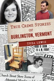

Search results from Open Library.
Recent natural events nearby
Ground air-quality sensors
Recently spotted species
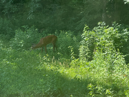
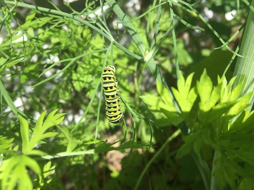
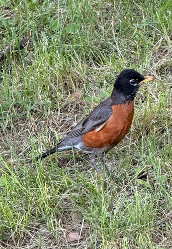
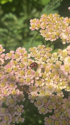
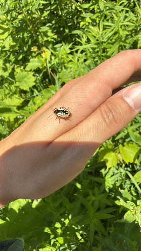
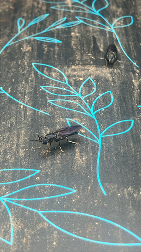
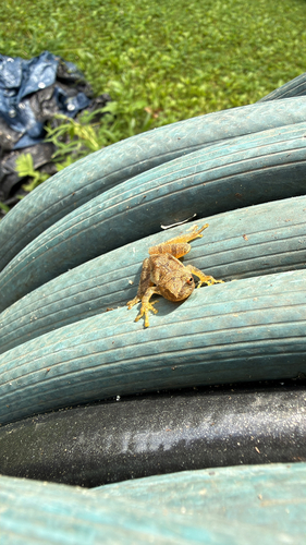
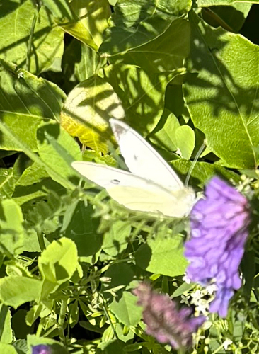
Research-grade observations from iNaturalist (within ~15 mi).
Nearest stream gauge
Live readings from USGS NWIS · measured 2026-10-16 06:30 UTC.
Events
Gallery
Geotagged photos within ~6 miles of Burlington, from Wikimedia Commons contributors.
0.1 mi0.2 mi0.2 mi.jpg) 0.2 mi0.4 mi0.4 mi0.6 mi0.6 mi0.6 mi
0.2 mi0.4 mi0.4 mi0.6 mi0.6 mi0.6 mi 0.6 mi
 0.6 mi
 0.6 mi
 0.6 mi
.jpg) 0.6 mi0.7 mi0.8 mi
0.6 mi0.7 mi0.8 mi.jpg) 0.8 mi0.9 mi0.9 mi
0.8 mi0.9 mi0.9 mi.jpg) 0.9 mi
0.9 mi.png) 1 mi
1 mi 1 mi
1 mi 1.1 mi
.jpg) 1.1 mi
1.1 miPhotos via Wikimedia Commons — see each image page for license & attribution.
Sources
- • Wikipedia
- • US Census Bureau (ACS 5-year estimates)
- • Open-Meteo (ERA5 reanalysis)
- • NOAA National Weather Service
- • Wikimedia Commons
- • Wikidata
- • Open-Meteo Air Quality (CAMS)
- • USGS Earthquake Catalog (global feed)
- • USGS NWIS (water data)
- • NCES via Urban Institute Education Data Portal
- • GBIF (Global Biodiversity Information Facility)
- • iNaturalist
- • CDC PLACES
- • Open-Elevation
- • Open-Meteo / sunrise-sunset.org
- • Wikipedia Pageviews API
- • Open Library
- • Wikidata SPARQL (CC0) — population, area, elevation, inception, head of government, Commons image
Notes: Nearby POIs unavailable; Notable people unavailable; Walkability unavailable; EPA pollution data unavailable; Livability counts unavailable; FEMA NRI data unavailable; Wikidata facts unavailable