Browse / United States / Vermont / Lyndon
Lyndon
VermontCDP

Lyndon
Total population
160
Median home value
$163,300
Bachelor's+
Median income
$59,750
Demographic figures from US Census Bureau · ACS 5-year estimates. Overview below cites Wikipedia and may reference a different year.
City facts
Facts from Wikidata (CC0).
Overview
Lyndon is a town in Caledonia County, Vermont, United States. As of the 2020 census, the population was 5,491. Lyndon is the home of one of the campuses of Vermont State University. The town contains five unincorporated villages, Lyndonville just east of the geographic center of town, Lyndon Corner in the south, Lyndon Center in the center of town on the west side of Lyndonville, Little Egypt in the north, and East Lyndon in the southeast.
Read more on WikipediaHistory & geography
History
When Rhode Island proprietors secured the original Lyndon township grant, the area was covered in forests and woodlands. The Passumpsic River, flowing through the center of the town, provided power for grist and saw mills. The charter of the town of Lyndon was signed by Governor Thomas Chittenden in 1780. It seems likely that the name Lyndon was chosen to honor Josias Lyndon (1704–1778), a former governor of Rhode Island and friend of many of the proprietors. Many of these men served with the 2nd Rhode Island Regiment, 1st Division, including Israel Angell. The original proprietors secured the grant as a business venture and had no intention of settling it. Some of the men held high positions of rank, including Jonathan Arnold, William Greene, and James Manning, the President of Rhode Island College, later Brown University. They needed men in search of free land, who would clear each proprietor's grant in return for a portion of it. The town was surveyed in 1781 by Jonathan Arnold, Daniel Cahoon and Daniel Owen. Settlement began in 1789. By the 1790 census, twelve families with 59 residents made their homes in Lyndon. These families installed roads, mills, homes, barns, fields, crops, churches, and schools. The village of Lyndon Corner was incorporated in 1792; Lyndon Center in 1794. Lyndonville was incorporated in 1866. The village of Lyndon Corner was about south of Lyndonville. The Hotel Lyndon was built there in 1807. It became a tavern and burned in 1897. About 1867, the Connecticut & Passumpsic Rivers Railroad bypassed Lyndon Corner and Lyndon Center. This resulted in business moving to Lyndonville. The bypassed villages became residential and are no longer distinguished by a separate name. They both gave up their incorporated village status in 1962.…
Geography
Lyndon is located in the valley of the Passumpsic River in northeastern Vermont. It is bordered by the town of St. Johnsbury to the south, Danville to the southwest, Wheelock to the west, Sutton to the north, Burke to the northeast, and Kirby to the east. According to the United States Census Bureau, the town has a total area of , of which is land and , or 0.89%, is water. The highest point in Lyndon is Diamond Hill in the southwest, with an elevation of slightly greater than . Lyndonville, the main village in town, is partially located on a high kame terrace. This may have once extended across the valley to form the end of a basin. Its lower strata are clayey, and are folded and curved. West of this terrace the level is lower. There is the course of a former river bed which ran towards the east. At the upper village of Lyndon the first terrace is about wide. There is a lot of sand and fine gravel adjoining. Every stream from either side of the valley has its large terraces to correspond with those of the Passumpsic River. It is a characteristic of these terraces that they are large while their quantity is small. The count never exceeds five which is unusual.
Excerpted from the corresponding Wikipedia article (CC BY-SA).
Demographics & economy
Race & ethnicity
Source: US Census Bureau — American Community Survey, 5-year estimates.
Geography
Coordinates & boundaries from the US Census TIGER/Line shapefiles.
Climate
10-year averages from ERA5 reanalysis (Open-Meteo).
Current forecast
Forecast for Lyndon, VT from NOAA NWS API.
Air quality
Industrial & pollution facilities
Natural hazard risk
Health (adults)
Age-adjusted prevalence estimates from CDC PLACES (latest release).
Walkability
Amenities nearby
Wildlife & biodiversity
Most-observed species
- Black-capped ChickadeePoecile atricapillus (Linnaeus, 1766) · Aves3,472
- American CrowCorvus brachyrhynchos C.L.Brehm, 1822 · Aves3,070
- Blue JayCyanocitta cristata (Linnaeus, 1758) · Aves2,384
- American RobinTurdus migratorius Linnaeus, 1766 · Aves2,273
- Song SparrowMelospiza melodia (A.Wilson, 1810) · Aves1,976
- American GoldfinchSpinus tristis (Linnaeus, 1758) · Aves1,915
- White-breasted NuthatchSitta carolinensis Latham, 1790 · Aves1,522
- Red-breasted NuthatchSitta canadensis Linnaeus, 1766 · Aves1,366
Citizen-science & research observations from the Global Biodiversity Information Facility (GBIF).
Schools
Largest nearby schools
- St. Johnsbury SchoolElementary · Saint Johnsbury · 702 students · 12.8:1 ratio
- Lyndon Town SchoolElementary · Lyndonville · 501 students · 10.2:1 ratio
- Danville SchoolOther · Danville · 350 students · 8.5:1 ratio
- Burke Town SchoolElementary · West Burke · 189 students · 11.1:1 ratio
- Waterford Elementary SchoolElementary · Waterford · 154 students · 11:1 ratio
- Millers Run SchoolElementary · Sheffield · 136 students · 10.5:1 ratio
- Sutton Village SchoolElementary · Sutton · 113 students · 12.6:1 ratio
Public K–12 schools within ~10 mi from Urban Institute Education Data Portal (NCES Common Core of Data, 2022).
Earthquake history
Most recent
- M 2.6 — 2024-06-183 km SE of Haverhill, New Hampshire
- M 2.9 — 2023-04-254 km SW of Center Sandwich, New Hampshire
- M 2.9 — 2022-02-040 km SSW of Gorham, New Hampshire
- M 3.1 — 2020-05-069 km SE of Bedford, Canada
- M 2.51 — 2011-07-084 km NE of Newbury, Vermont
- M 2.5 — 2011-01-036 km NNE of Holderness, New Hampshire
Events from the USGS Earthquake Catalog (global) (FDSN Event Web Service).
Photos
Sights & places nearby
Notable people from here


People born within ~10 km, from Wikidata (CC0). Click any name for their Wikipedia article.
Nearby places in Vermont
- Lyndonville1.5 mi away · pop. 1,143
- Lyndon Center1.8 mi away · pop. 295
- St. Johnsbury5.9 mi away · pop. 5,963
- East Burke6.2 mi away · pop. 110
- Sutton8 mi away · pop. 155
- Concord8.3 mi away · pop. 181
- West Burke9.1 mi away · pop. 175
- Danville9.6 mi away · pop. 401
- Greensboro Bend12.8 mi away · pop. 265
- Peacham15 mi away · pop. 224
- Barnet15.3 mi away · pop. 131
- Greensboro15.5 mi away · pop. 102
Geography & sun
Elevation, sunrise/sunset and daylight from Open-Meteo. Solar climatology from NASA POWER.
Nearby airports
Public attention
Pageview totals from the Wikimedia Pageviews API.
Books about Lyndon




Search results from Open Library.
Recent natural events nearby
Ground air-quality sensors
Recently spotted species

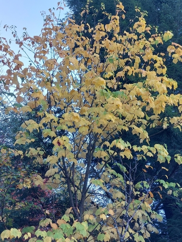

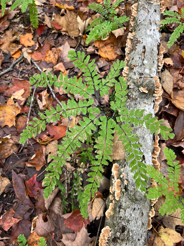

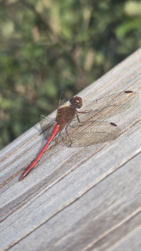
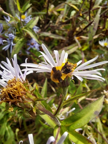


Research-grade observations from iNaturalist (within ~15 mi).
Nearest stream gauge
Events
Gallery
Sources
- • Wikipedia
- • US Census Bureau (ACS 5-year estimates)
- • Open-Meteo (ERA5 reanalysis)
- • NOAA National Weather Service
- • Wikidata
- • USGS Earthquake Catalog (global feed)
- • NCES via Urban Institute Education Data Portal
- • GBIF (Global Biodiversity Information Facility)
- • iNaturalist
- • CDC PLACES
- • Open-Meteo / sunrise-sunset.org
- • Wikipedia Pageviews API
- • Open Library
- • Wikidata SPARQL (CC0) — population, area, elevation, inception, head of government, Commons image