Browse / United States / Vermont / Plainfield
Plainfield
VermontCDP

Plainfield
Total population
450
Median home value
$173,600
Bachelor's+
Median income
$46,987
Founded
1867
Demographic figures from US Census Bureau · ACS 5-year estimates. Overview below cites Wikipedia and may reference a different year.
City facts
Facts from Wikidata (CC0).
Overview
Plainfield, a town in Washington County, Vermont, United States was incorporated in 1867. The population was 1,236 at the 2020 census. Plainfield was the location of Goddard College.
Read more on WikipediaHistory & geography
History
When the government of independent Vermont was being organized, the surveyor for northern Vermont, James Whitelaw, noticed that a parcel of land, smaller than the standard town size of six miles (10 km) square and lying between Montpelier and Marshfield, had not been granted to any settlers. One corner of this "gore" was marked as "St. Andrew's Corner". Whitelaw and his assistants were later paid for their work with land grants, one of which was the St. Andrews's gore. The village of Plainfield, Wisconsin was named by its postmaster Elijah C. Waterman to honor his hometown of Plainfield, Vermont.
Geography
According to the United States Census Bureau, the town has a total area of 21.0 square miles (54.5 km2), of which 21.0 square miles (54.4 km2) is land and 0.04 square mile (0.1 km2) (0.19%) is water. Plainfield, the primary village, is located in the northern corner of the town along the Winooski River and U.S. Route 2. Goddard College is located just west of the village. The ground rises to the east in the town, culminating at Spruce Mountain within Groton State Forest.
Excerpted from the corresponding Wikipedia article (CC BY-SA).
Demographics & economy
Race & ethnicity
Source: US Census Bureau — American Community Survey, 5-year estimates.
Geography
Coordinates & boundaries from the US Census TIGER/Line shapefiles.
Climate
Current forecast
Forecast for Plainfield, VT from NOAA NWS API.
Air quality
Industrial & pollution facilities
Natural hazard risk
Health (adults)
Age-adjusted prevalence estimates from CDC PLACES (latest release).
Walkability
Amenities nearby
Wildlife & biodiversity
Schools
Earthquake history
Photos
Sights & places nearby
Notable people from here
Nearby places in Vermont
- East Montpelier3.1 mi away · pop. 63
- Marshfield6.4 mi away · pop. 418
- Barre6.8 mi away · pop. 8,488
- Montpelier7 mi away · pop. 8,030
- Worcester8.5 mi away · pop. 115
- Websterville8.8 mi away · pop. 249
- South Barre9 mi away · pop. 1,362
- East Barre9.2 mi away · pop. 1,136
- Graniteville9.7 mi away · pop. 244
- Cabot10.4 mi away · pop. 272
- Williamstown12.7 mi away · pop. 1,508
- Peacham13.3 mi away · pop. 224
Geography & sun
Elevation, sunrise/sunset and daylight from Open-Meteo. Solar climatology from NASA POWER.
Nearby airports
Public attention
Pageview totals from the Wikimedia Pageviews API.
Books about Plainfield


Search results from Open Library.
Recent natural events nearby
Ground air-quality sensors
Recently spotted species
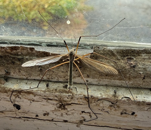

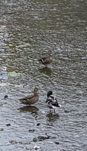
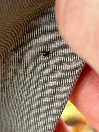
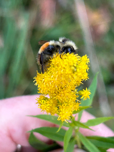
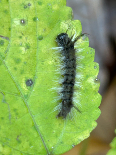
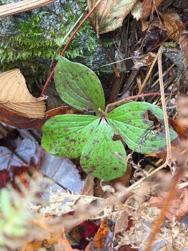
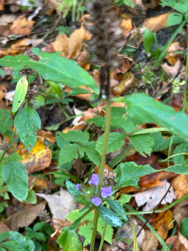
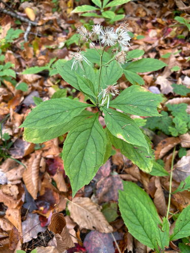
Research-grade observations from iNaturalist (within ~15 mi).
Nearest stream gauge
Events
Gallery
Sources
- • Wikipedia
- • US Census Bureau (ACS 5-year estimates)
- • NOAA National Weather Service
- • Wikidata
- • iNaturalist
- • CDC PLACES
- • Open-Meteo / sunrise-sunset.org
- • Wikipedia Pageviews API
- • Open Library
- • Wikidata SPARQL (CC0) — population, area, elevation, inception, head of government, Commons image