Browse / United States / Vermont / Waterbury
Waterbury
VermontCDP

Waterbury
Total population
1,753
Median home value
$375,400
Bachelor's+
Median income
$54,273
Demographic figures from US Census Bureau · ACS 5-year estimates. Overview below cites Wikipedia and may reference a different year.
City facts
Facts from Wikidata (CC0).
Overview
Waterbury is a town in Washington County in central Vermont, United States. Although the town is still home to the Waterbury Village Historic District, the village sharing the name of the town officially dissolved as a municipality in 2018. As of the 2020 census, the population was 5,331.
Read more on WikipediaHistory & geography
History
The townsite was once the frontier between the Mahican and Pennacook people. European settlement dates from 1763, when King George III granted a charter for land in the Winooski River valley. James Marsh became the first permanent white settler in the region in 1783. Many of the early settlers came from Waterbury, Connecticut, and named their new town in honor of the hometown. The village of Waterbury was incorporated in 1882 with a population of over 2,000. The Central Vermont Railroad came to Waterbury in 1849. The railroad expanded a passenger station for the railroad in 1875, making the station a more major stop on the Vermonter. The hospital, renamed the Vermont State Hospital, grew to occupy over 40 buildings, but by the 1980s the number of patients had declined to the point where only one building was required. The remainder of the campus came to be used for state offices. Like many New England towns, Waterbury's economy was based around the local river mill industry and the surrounding agricultural producers. The mills produced products such as lumber and finished wood products, wicker products, leather, starch, and alcohol. The agriculture was based on sheep through the 19th century but switched over to dairy farming by the 20th century. Waterbury had a ski factory in the 1940s, the Derby & Ball Company. In 1927, Waterbury, like many other Vermont communities, was devastated by flooding. Inscriptions on the sides of some buildings in Waterbury village purport to show where the level of the water rose during the 1927 flood. The village recovered, and in 1938 the Waterbury Dam was built on the Little River by the Army Corps of Engineers to control future flooding in areas downstream of the town center. On August 29, 2011, Tropical Storm Irene flooded…
Excerpted from the corresponding Wikipedia article (CC BY-SA).
Demographics & economy
Race & ethnicity
Source: US Census Bureau — American Community Survey, 5-year estimates.
Geography
Coordinates & boundaries from the US Census TIGER/Line shapefiles.
Climate
Current forecast
Forecast for Waterbury, VT from NOAA NWS API.
Air quality
Industrial & pollution facilities
Natural hazard risk
Health (adults)
Walkability
Amenities nearby
Wildlife & biodiversity
Schools
Earthquake history
Photos
Sights & places nearby
Notable people from here


People born within ~10 km, from Wikidata (CC0). Click any name for their Wikipedia article.
Nearby places in Vermont
- Waterbury Center3.2 mi away · pop. 261
- Bolton7.3 mi away · pop. 37
- Bolton Valley7.7 mi away · pop. 165
- Stowe9.6 mi away · pop. 721
- Montpelier10 mi away · pop. 8,030
- Worcester10.1 mi away · pop. 115
- Waitsfield11.4 mi away · pop. 228
- Huntington Center11.4 mi away · pop. 118
- Hanksville11.9 mi away · pop. 33
- Huntington11.9 mi away · pop. 516
- Richmond13.4 mi away · pop. 689
- East Montpelier13.6 mi away · pop. 63
Geography & sun
Nearby airports
Public attention
Books about this place
Recent natural events nearby
Ground air-quality sensors
Recently spotted species
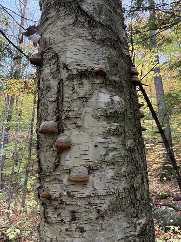
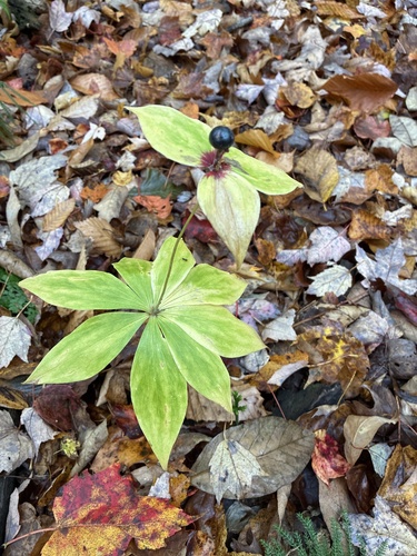
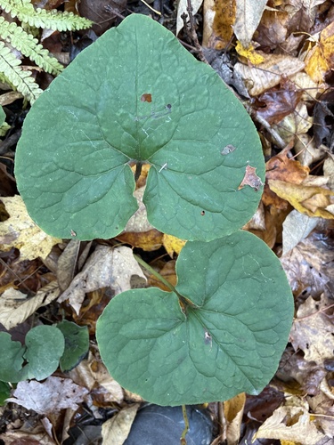
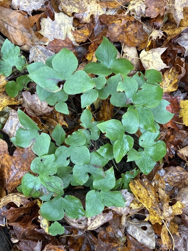
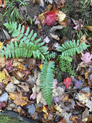
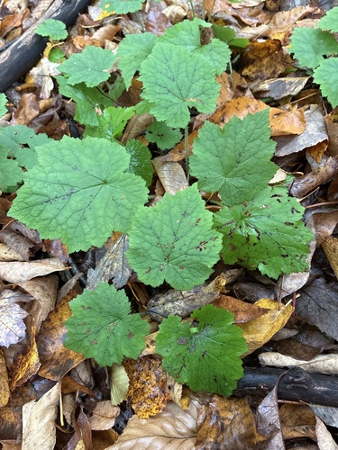
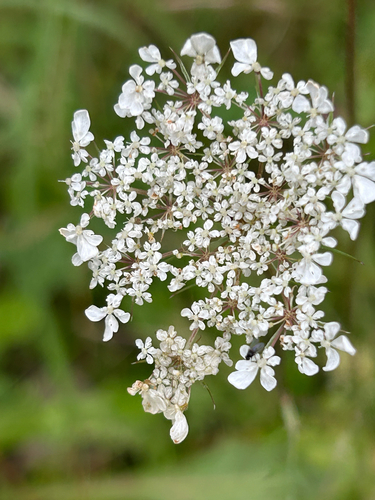
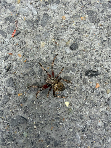
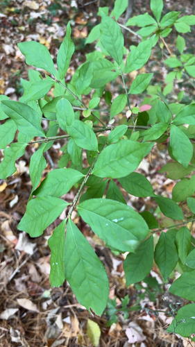
Research-grade observations from iNaturalist (within ~15 mi).
Nearest stream gauge
Live readings from USGS NWIS · measured 2026-10-13 18:45 UTC.
Events
Gallery
Sources
- • Wikipedia
- • US Census Bureau (ACS 5-year estimates)
- • NOAA National Weather Service
- • Wikidata
- • USGS NWIS (water data)
- • iNaturalist
- • Wikidata SPARQL (CC0) — population, area, elevation, inception, head of government, Commons image