Browse / United States / Washington / Chehalis
Chehalis
Washingtoncity

Chehalis
Total population
7,587
Median home value
$372,900
Bachelor's+
Median income
$73,702
Founded
1873
Demographic figures from US Census Bureau · ACS 5-year estimates. Overview below cites Wikipedia and may reference a different year.
City facts
Sister cities
Facts from Wikidata (CC0).
Overview
Chehalis is a city in and the county seat of Lewis County, Washington, United States. The population was 7,439 at the time of the 2020 census.
Read more on WikipediaHistory & geography
History
Chehalis began as a settlement around a warehouse beside a railroad track in 1873, when the Northern Pacific Railroad built northward from Kalama to Tacoma. Northern Pacific's decision bypassed the town of Claquato, then the county seat. This allowed Chehalis, in 1874, to become the central location for Lewis County government. Chehalis was incorporated on November 23, 1883. In 1940, the chief local industries were dairying, poultry raising, fruit growing, milk condensing, fruit and vegetable packing, brick and tile manufacturing, coal mining, portable house manufacturing, and fern shipping. During World War II, Chehalis was home to a Boeing manufacturing plant. The factory was responsible for producing wing parts for airplanes, particularly for B-17 and B-29 bombers. The plant, which received Boeing's excellence pennant, existed between 1943 and 1945 and was located in the Harry B. Quick building. Built in the mid-1920s, it has been owned by the Lewis County Public Utilities District since the early 1940s. A plaque, installed on the exterior of the building in 2005 on the 60th anniversary of the war's end, honors the workers of the Boeing manufactory, of which 70% were Rosie the Riveters. The city, known for its flooding events, suffered damages and hardship during other natural disasters and severe weather events. A report in the aftermath of the 1949 Olympia earthquake listed that approximately 40% of local Chehalis businesses and homes were damaged, including a tally of over 1,300 chimneys. One Chehalis resident was reported as injured and the Green Hill School, which lost the use of four buildings, recorded $2 million in damages. The high school and the West Side School were destroyed; neither was rebuilt. Chehalis was also hit hard during the Hanukkah Eve…
Geography
According to the U.S. Census Bureau, the city has a total area of , of which, is land and is water. The city rests in a valley bordered by foothills of the Cascade Range to the east and the Willapa Hills to the west. Chehalis straddles Interstate 5 at a point almost exactly halfway between Seattle, Washington and Portland, Oregon. Chehalis is located north of the community of Newaukum and the city of Napavine. The communities of Littell and Adna are situated to the west. The historic downtown and most of the city's amenities lie on the east side of the freeway, nestled at the base of a small range of forested hills. On the west side of the freeway are parks, farms, a few subdivisions developed in the hills to the west, and a centralized shopping district, the Twin City Town Center. The Chehalis–Centralia Airport is located immediately west of the freeway towards the northern end of the city. From numerous vantage points in the city and the Willapa Hills, there are views of Boistfort Peak and the three major volcanic mountains of the Cascades, Mount Rainier, Mount Adams, and Mount St. Helens, depending on weather conditions. The Chehalis River winds its way through the valley in which the city resides, and is joined by a tributary, the Newaukum River. This confluence of waters, along with the intersections of tributaries and railroads within Chehalis, helped the city become known as "The Maple Leaf City". Both the Chehalis and Newaukum rivers are prone to flooding during periods of abnormally heavy or persistent rain, and the lowlands from the freeway westward are particularly susceptible to inundation. Near the Port of Chehalis is Dillenbaugh Creek, a watershed encompassing over . This region experiences warm and dry summers, with no average monthly temperatures…
Excerpted from the corresponding Wikipedia article (CC BY-SA).
Demographics & economy
Race & ethnicity
Source: US Census Bureau — American Community Survey, 5-year estimates.
Geography
Coordinates & boundaries from the US Census TIGER/Line shapefiles.
Climate
Current forecast
Forecast for Chehalis, WA from NOAA NWS API.
Air quality
Industrial & pollution facilities
Natural hazard risk
Health (adults)
Age-adjusted prevalence estimates from CDC PLACES (latest release).
Walkability
Amenities nearby
Wildlife & biodiversity
Most-observed species
- American RobinTurdus migratorius Linnaeus, 1766 · Aves2,480
- Song SparrowMelospiza melodia (A.Wilson, 1810) · Aves2,465
- European StarlingSturnus vulgaris Linnaeus, 1758 · Aves1,996
- California/Woodhouse's Scrub-JayAphelocoma californica (Vigors, 1839) · Aves1,984
- Dark-eyed JuncoJunco hyemalis (Linnaeus, 1758) · Aves1,769
- Black-capped ChickadeePoecile atricapillus (Linnaeus, 1766) · Aves1,756
- American CrowCorvus brachyrhynchos C.L.Brehm, 1822 · Aves1,746
- MallardAnas platyrhynchos Linnaeus, 1758 · Aves1,674
Citizen-science & research observations from the Global Biodiversity Information Facility (GBIF).
Schools
Earthquake history
Most recent
- M 3.75 — 2026-09-0520 km E of Castle Rock, Washington
- M 2.61 — 2026-07-3118 km NE of Amboy, Washington
- M 2.84 — 2026-05-274 km W of Wauna, Washington
- M 2.52 — 2026-03-177 km SE of Mineral, Washington
- M 2.86 — 2026-03-112 km W of Home, Washington
- M 2.82 — 2025-12-255 km W of Gorst, Washington
Events from the USGS Earthquake Catalog (global) (FDSN Event Web Service).
Photos
Sights & places nearby
Notable people from here


People born within ~10 km, from Wikidata (CC0). Click any name for their Wikipedia article.
Nearby places in Washington
Geography & sun
Elevation, sunrise/sunset and daylight from Open-Meteo. Solar climatology from NASA POWER.
Nearby airports
Public attention
Pageview totals from the Wikimedia Pageviews API.
Books about Chehalis

Search results from Open Library.
Recent natural events nearby
- Wildfire KING, Kittitas, WashingtonWildfires · 2026-08-19 · 98 mi
- Wildfire GOAT, Kittitas, WashingtonWildfires · 2026-08-22 · 105 mi
- Wildfire Austin Non-Stat, Clackamas, OregonWildfires · 2026-08-12 · 123 mi
- Wildfire AUSTIN, Clackamas, OregonWildfires · 2026-08-09 · 123 mi
- Wildfire Colwash, Yakima, WashingtonWildfires · 2026-08-22 · 136 mi
- Wildfire SISI, Chelan, WashingtonWildfires · 2026-08-14 · 153 mi
- Wildfire Electric, Whatcom, WashingtonWildfires · 2026-08-22 · 155 mi
- Wildfire Thunder Creek, Skagit, WashingtonWildfires · 2026-08-22 · 158 mi
Wildfires, storms and other events from NASA EONET (last 12 months, within 250 mi).
Ground air-quality sensors
Recently spotted species
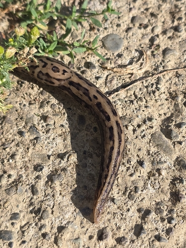
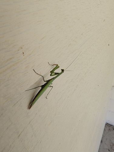
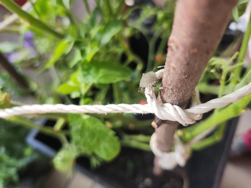
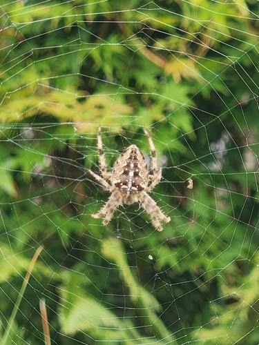
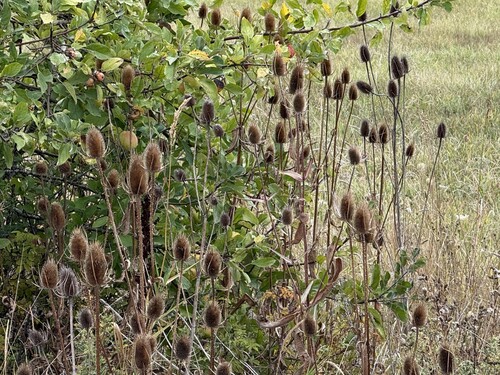
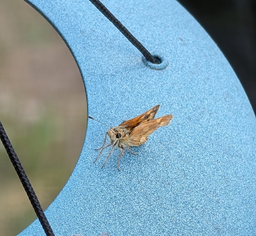
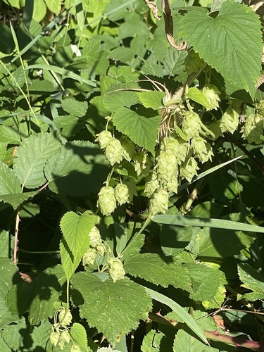
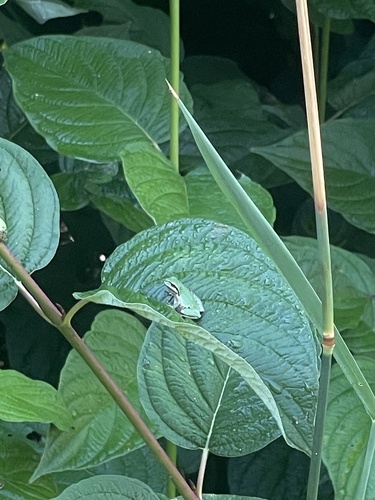
Research-grade observations from iNaturalist (within ~15 mi).
Nearest stream gauge
Events
Gallery
Sources
- • Wikipedia
- • US Census Bureau (ACS 5-year estimates)
- • NOAA National Weather Service
- • Wikidata
- • USGS Earthquake Catalog (global feed)
- • GBIF (Global Biodiversity Information Facility)
- • iNaturalist
- • CDC PLACES
- • Open-Meteo / sunrise-sunset.org
- • Wikipedia Pageviews API
- • Open Library
- • NASA EONET