Browse / United States / Washington / Coupeville
Coupeville
Washingtontown

Coupeville
Total population
1,980
Median home value
$561,000
Bachelor's+
Median income
$81,625
Founded
1852
Demographic figures from US Census Bureau · ACS 5-year estimates. Overview below cites Wikipedia and may reference a different year.
City facts
Facts from Wikidata (CC0).
Overview
Coupeville is a town on Whidbey Island, in Island County, Washington, United States.
Read more on WikipediaHistory & geography
History
Prior to European settlement, Coupeville and the bay in which it is located, Penn Cove, was inhabited by the Lower Skagit, a Lushootseed-speaking Coast Salish people. There were three villages around the bay, with the largest being at , meaning "snake place", the site of present day Coupeville. There was an abundance of salmon, clams, and other resources, as well as offering easy access to the water, making it an excellent village site. When Europeans arrived to explore the Puget Sound, it was Joseph Whidbey who first visited the bay, naming it Penn Cove in honor of his good friend. Captain George Vancouver later wrote after meeting the Skagit at the village that their population had quickly fallen due to disease. Coupeville was officially incorporated on April 20, 1910. Coupeville is a historic district within the federal Ebey's Landing National Historical Reserve. The reserve was established by Congress in 1978 as the first and only National Historical Reserve in the nation. Its also encompass farmlands, Fort Ebey State Park, Fort Casey State Park, shorelines and beaches, parks, trails, and 91 buildings and structures on the National Register of Historic Places. Coupeville was a film location for the 1998 movie Practical Magic.
Geography
Coupeville is located near the center of Whidbey Island, which lies in Puget Sound between the mainland and the Olympic Peninsula. On the north side of downtown is Penn Cove, an inlet of the Saratoga Passage. The city is part of the Ebey's Landing National Historical Reserve, which also includes Fort Ebey State Park to the west. According to the United States Census Bureau, the town has a total area of , all of it land.
Excerpted from the corresponding Wikipedia article (CC BY-SA).
Demographics & economy
Race & ethnicity
Source: US Census Bureau — American Community Survey, 5-year estimates.
Geography
Coordinates & boundaries from the US Census TIGER/Line shapefiles.
Climate
Current forecast
Forecast for Coupeville, WA from NOAA NWS API.
Air quality
Industrial & pollution facilities
Natural hazard risk
Health (adults)
Age-adjusted prevalence estimates from CDC PLACES (latest release).
Walkability
Amenities nearby
Wildlife & biodiversity
Most-observed species
- Song SparrowMelospiza melodia (A.Wilson, 1810) · Aves16,608
- Bald EagleHaliaeetus leucocephalus (Linnaeus, 1766) · Aves16,195
- American CrowCorvus brachyrhynchos C.L.Brehm, 1822 · Aves16,004
- American RobinTurdus migratorius Linnaeus, 1766 · Aves15,306
- Great Blue/Cocoi HeronArdea herodias Linnaeus, 1758 · Aves14,123
- Spotted TowheePipilo maculatus Swainson, 1827 · Aves12,188
- MallardAnas platyrhynchos Linnaeus, 1758 · Aves11,857
- Glaucous-winged GullLarus glaucescens J.F.Naumann, 1840 · Aves11,760
Citizen-science & research observations from the Global Biodiversity Information Facility (GBIF).
Schools
Earthquake history
Most recent
- M 2.51 — 2026-08-0911 km SSW of River Road, Washington
- M 3.8 — 2026-07-022 km E of Oak Harbor, Washington
- M 2.5 — 2026-06-2611 km E of Carnation, Washington
- M 2.87 — 2026-06-082 km ESE of Oak Harbor, Washington
- M 2.56 — 2026-05-297 km ENE of Ferndale, Washington
- M 2.84 — 2026-05-274 km W of Wauna, Washington
Events from the USGS Earthquake Catalog (global) (FDSN Event Web Service).
Photos
Sights & places nearby
Notable people from here


People born within ~10 km, from Wikidata (CC0). Click any name for their Wikipedia article.
Geography & sun
Elevation, sunrise/sunset and daylight from Open-Meteo. Solar climatology from NASA POWER.
Nearby airports
Public attention
Pageview totals from the Wikimedia Pageviews API.
Books about Coupeville

Search results from Open Library.
Recent natural events nearby
- Wildfire KING, Kittitas, WashingtonWildfires · 2026-08-19 · 84 mi
- Wildfire SISI, Chelan, WashingtonWildfires · 2026-08-14 · 85 mi
- Wildfire Border 2, Whatcom, WashingtonWildfires · 2026-07-16 · 93 mi
- Wildfire PTARMIGAN, Okanogan, WashingtonWildfires · 2026-07-17 · 107 mi
- Wildfire SINLAHEKIN, Okanogan, WashingtonWildfires · 2026-07-26 · 141 mi
- Wildfire PEARL HILL, Douglas, WashingtonWildfires · 2026-07-25 · 142 mi
- Wildfire RANSIER, Yakima, WashingtonWildfires · 2026-07-26 · 157 mi
- Wildfire Signal Peak, Yakima, WashingtonWildfires · 2026-07-24 · 157 mi
Wildfires, storms and other events from NASA EONET (last 12 months, within 250 mi).
Ground air-quality sensors
Recently spotted species
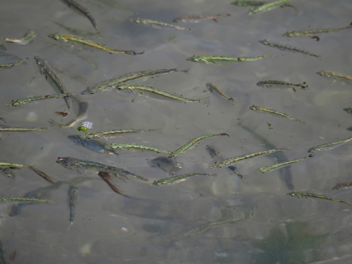
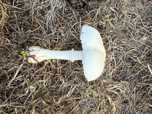
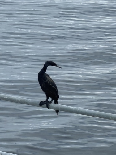
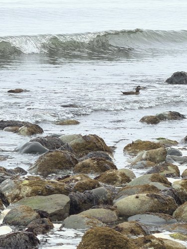
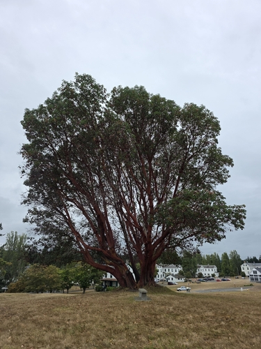
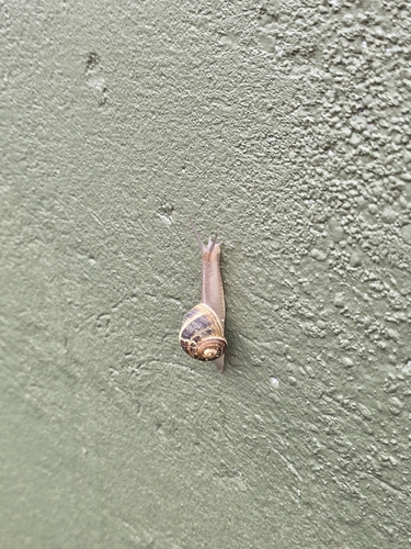
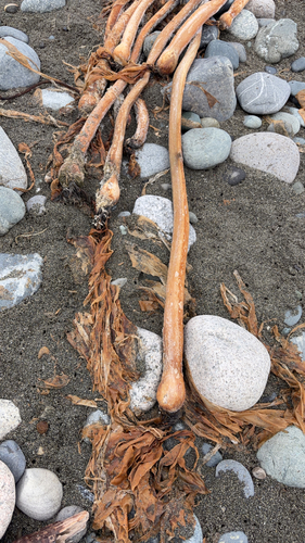
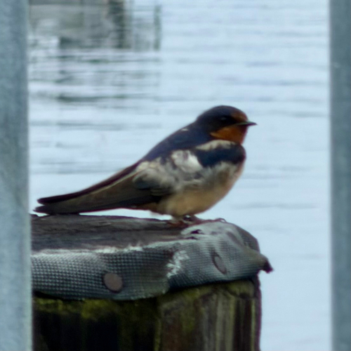
Research-grade observations from iNaturalist (within ~15 mi).
Nearest stream gauge
Live readings from USGS NWIS · measured 2026-08-25 06:00 UTC.
Events
Gallery
Sources
- • Wikipedia
- • US Census Bureau (ACS 5-year estimates)
- • NOAA National Weather Service
- • Wikidata
- • USGS Earthquake Catalog (global feed)
- • USGS NWIS (water data)
- • GBIF (Global Biodiversity Information Facility)
- • iNaturalist
- • CDC PLACES
- • Open-Meteo / sunrise-sunset.org
- • Wikipedia Pageviews API
- • Open Library
- • NASA EONET