Browse / United States / Washington / Everett
Everett
Washingtoncity

Everett
Total population
112,999
Median home value
$598,900
Bachelor's+
Median income
$80,960
Demographic figures from US Census Bureau · ACS 5-year estimates. Overview below cites Wikipedia and may reference a different year.
City facts
Sister cities
Facts from Wikidata (CC0).
Overview
Everett is the county seat of and the most populous city in Snohomish County, Washington, United States. It is 25 miles (40 km) north of Seattle and is one of the main cities in the metropolitan area and the Puget Sound region. Everett is the seventh-most populous city in the state, with 110,629 residents as of the 2020 census. The city is primarily situated on a peninsula at the mouth of the Snohomish River along Port Gardner Bay, an inlet of Possession Sound, and extends to the south and west.
Read more on WikipediaHistory & geography
History
The earliest humans entered the Puget Sound region approximately 12,000 years before present after the recession of the Vashon Glacier. The earliest evidence of human habitation on the Port Gardner Peninsula dates back to approximately 2,000 years before present. The Snohomish people, who had many villages along the Snohomish River and around Possession Sound, had their principal settlement at Preston Point, known in the Lushootseed language as (pronounced ). The village of Hibulb, located below the bluff at the mouth of the Snohomish River, was one of the largest Snohomish settlements and the tribe's most important. It held considerable influence over other settlements and had the largest potlatch house in the Snohomish's territory; it was also heavily fortified by a large cedar palisade to deter attackers. The village also had four large cedar longhouses, each around long, and smaller structures. The tribe's population was estimated to be over 6,000 prior to several smallpox and measles epidemics in the early 19th century that severely affected the Puget Sound region. A massive landslide at Camano Head () In Lushootseed, the modern city of Everett has two names: , or , The first Europeans in the area were explorers from the 1792 Vancouver Expedition, who landed on a beach on the modern Everett waterfront and claimed the land for England on June 4, the birthday of King George III. Puget Sound was further explored and charted by the Hudson's Bay Company in 1824 and the United States Exploring Expedition under Charles Wilkes in 1841, ahead of a larger American presence in the area. The Snohomish were one of the signatory tribes of the Treaty of Point Elliott in 1855, which ceded their lands to the Washington territorial government and established the nearby Tulalip…
Geography
Everett is one of the core cities comprising the Seattle metropolitan area and is north of Seattle. It is primarily situated on the Port Gardner Peninsula, bordered to the west by Port Gardner Bay (part of Possession Sound in the Puget Sound estuary), and to the north and east by the Snohomish River delta. The city also encompasses suburban and industrial areas to the south and southwest of the peninsula, which were annexed during the mid-to-late 20th century. Everett has of freshwater shoreline and of saltwater shoreline, including public access points at parks and boat ramps on Port Gardner Bay and the Snohomish River. The city's western boundary with Mukilteo is generally defined by Japanese Gulch on the edge of the Boeing Everett Assembly Plant and its auxiliary buildings. The southwestern edge of Everett borders an unincorporated area that includes Paine Field and the Lake Stickney/Mariner neighborhoods, which are part of the city's designated urban growth area that extends south towards Lynnwood. The southern boundary wraps around Silver Lake and follows State Route 527 to State Route 96 at Murphy's Corner, where it borders Mill Creek. Everett's boundaries follow various housing subdivisions in the Eastmont area before reaching the Snohomish River, which forms the primary eastern border. The northeastern boundary includes portions of Smith Island in the river delta reaching towards Marysville; The city boundaries also include of forest surrounding Lake Chaplain, a reservoir in the Cascade Mountains that provides part of the municipal water supply. The Port Gardner Peninsula was formed during the northward retreat of Vashon Glaciation during an ice age 14,000 years before present. The underlying soil is generally loamy and includes gravelly sand in the…
Excerpted from the corresponding Wikipedia article (CC BY-SA).
Demographics & economy
Race & ethnicity
Source: US Census Bureau — American Community Survey, 5-year estimates.
Geography
Coordinates & boundaries from the US Census TIGER/Line shapefiles.
Climate
Current forecast
Forecast for Everett, WA from NOAA NWS API.
Air quality
Industrial & pollution facilities
Natural hazard risk
Health (adults)
Age-adjusted prevalence estimates from CDC PLACES (latest release).
Walkability
Amenities nearby
Wildlife & biodiversity
Most-observed species
- American CrowCorvus brachyrhynchos C.L.Brehm, 1822 · Aves30,451
- Song SparrowMelospiza melodia (A.Wilson, 1810) · Aves24,386
- Dark-eyed JuncoJunco hyemalis (Linnaeus, 1758) · Aves21,816
- American RobinTurdus migratorius Linnaeus, 1766 · Aves21,692
- Black-capped ChickadeePoecile atricapillus (Linnaeus, 1766) · Aves20,785
- Spotted TowheePipilo maculatus Swainson, 1827 · Aves18,442
- MallardAnas platyrhynchos Linnaeus, 1758 · Aves17,583
- Northern FlickerColaptes auratus (Linnaeus, 1758) · Aves15,422
Citizen-science & research observations from the Global Biodiversity Information Facility (GBIF).
Schools
Largest nearby schools
- Kamiak High SchoolHigh · Mukilteo · 2,250 students · 24.2:1 ratio
- Henry M. Jackson High SchoolHigh · Mill Creek · 2,155 students · 23.4:1 ratio
- Lake Stevens Sr High SchoolHigh · Lake Stevens · 2,140 students · 23.8:1 ratio
- Mariner High SchoolHigh · Everett · 2,090 students · 19.9:1 ratio
- Cascade High SchoolHigh · Everett · 1,793 students · 21.6:1 ratio
- North Creek High SchoolHigh · Bothell · 1,781 students · 20.7:1 ratio
- Glacier Peak High SchoolHigh · Snohomish · 1,630 students · 24.7:1 ratio
- Everett High SchoolHigh · Everett · 1,606 students · 19.8:1 ratio
Public K–12 schools within ~10 mi from Urban Institute Education Data Portal (NCES Common Core of Data, 2022).
Earthquake history
Most recent
- M 2.64 — 2026-10-155 km SW of Wilderness Rim, Washington
- M 2.65 — 2026-10-145 km WSW of Wilderness Rim, Washington
- M 4.15 — 2026-09-296 km WNW of Wauna, Washington
- M 2.56 — 2026-09-122 km ENE of Mount Vernon, Washington
- M 2.51 — 2026-08-0911 km SSW of River Road, Washington
- M 3.8 — 2026-07-022 km E of Oak Harbor, Washington
Events from the USGS Earthquake Catalog (global) (FDSN Event Web Service).
Photos
Sights & places nearby
Notable people from here


People born within ~10 km, from Wikidata (CC0). Click any name for their Wikipedia article.
Nearby places in Washington
- Mukilteo6.3 mi away · pop. 21,323
- Picnic Point8.2 mi away · pop. 10,261
- Lake Cassidy8.5 mi away · pop. 3,292
- Martha Lake8.6 mi away · pop. 22,634
- Mill Creek East8.9 mi away · pop. 25,453
- Lochsloy9.5 mi away · pop. 3,029
- Clearview9.6 mi away · pop. 3,254
- Chain Lake10.4 mi away · pop. 4,950
- Maltby11.9 mi away
- Brier12.6 mi away · pop. 6,545
- Mountlake Terrace12.9 mi away · pop. 21,286
- Granite Falls13.3 mi away
Geography & sun
Elevation, sunrise/sunset and daylight from Open-Meteo. Solar climatology from NASA POWER.
Nearby airports
Public attention
Pageview totals from the Wikimedia Pageviews API.
Books about Everett



Search results from Open Library.
Recent natural events nearby
- Wildfire KING, Kittitas, WashingtonWildfires · 2026-08-19 · 55 mi
- Wildfire Electric, Whatcom, WashingtonWildfires · 2026-08-22 · 59 mi
- Wildfire GOAT, Kittitas, WashingtonWildfires · 2026-08-22 · 63 mi
- Wildfire Thunder Creek, Skagit, WashingtonWildfires · 2026-08-22 · 67 mi
- Wildfire SISI, Chelan, WashingtonWildfires · 2026-08-14 · 68 mi
- Wildfire PEARL HILL, Douglas, WashingtonWildfires · 2026-07-25 · 119 mi
- Wildfire SINLAHEKIN, Okanogan, WashingtonWildfires · 2026-07-26 · 126 mi
- Wildfire RANSIER, Yakima, WashingtonWildfires · 2026-07-26 · 130 mi
Wildfires, storms and other events from NASA EONET (last 12 months, within 250 mi).
Ground air-quality sensors
Recently spotted species
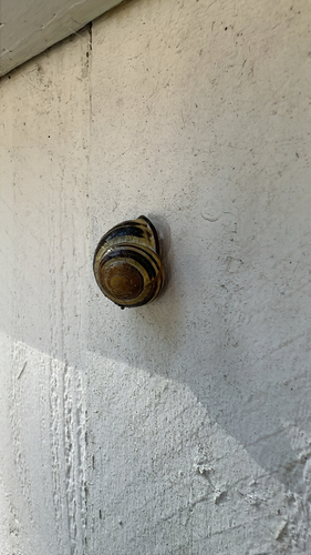
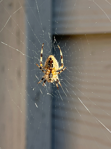
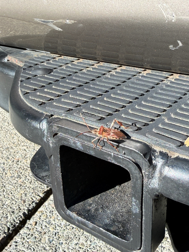
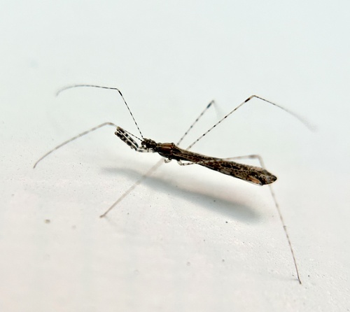
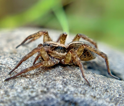
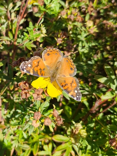
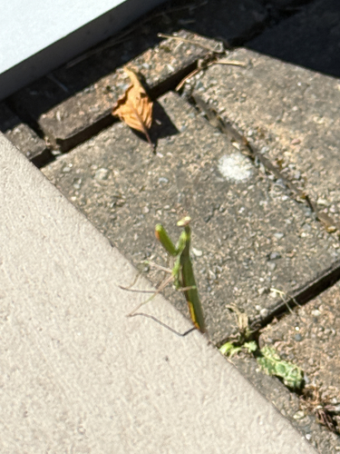
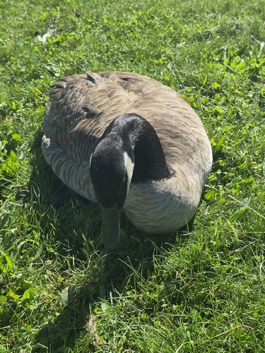
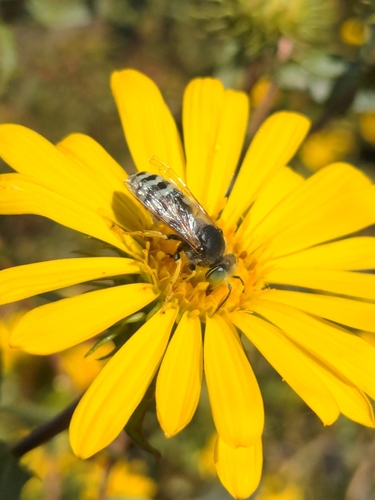
Research-grade observations from iNaturalist (within ~15 mi).
Nearest stream gauge
Live readings from USGS NWIS · measured 2026-09-17 13:00 UTC.
Events
Gallery
Sources
- • Wikipedia
- • US Census Bureau (ACS 5-year estimates)
- • NOAA National Weather Service
- • Wikidata
- • USGS Earthquake Catalog (global feed)
- • USGS NWIS (water data)
- • NCES via Urban Institute Education Data Portal
- • GBIF (Global Biodiversity Information Facility)
- • iNaturalist
- • CDC PLACES
- • Open-Meteo / sunrise-sunset.org
- • Wikipedia Pageviews API
- • Open Library
- • NASA EONET