Browse / United States / Washington / Fall City
Fall City
WashingtonCDP

Fall City
Total population
1,618
Median home value
$1,010,300
Bachelor's+
Median income
$177,019
Founded
1856
Air quality index
Demographic figures from US Census Bureau · ACS 5-year estimates. Overview below cites Wikipedia and may reference a different year.
- Heat Advisory · ModerateHeat Advisory issued June 13 at 1:55PM PDT until June 16 at 5:00AM PDT by NWS Seattle WA
Source: NOAA National Weather Service.
City facts
Facts from Wikidata (CC0).
Overview
Fall City is an unincorporated community and census-designated place (CDP) in King County, Washington, United States, 25 miles (40 km) east of Seattle. The community lies along the Snoqualmie River and Raging River. The population was 2,032 at the 2020 census.
Read more on WikipediaHistory & geography
History
The first settlements in the area were two forts built in 1856 during the Puget Sound War to protect future settlers against possible uprisings by the native population. Fort Patterson, a few miles downstream, and Fort Tilton, a few miles upstream, were built with the help of Indians led by Chief Patkanim, and both were abandoned within two years after interactions with the local tribes remained peaceful. A historical marker can be found north of Fall City on Fish Hatchery Road where Fort Tilton once stood. A trading post was established near the present-day location of the Last Frontier Saloon in 1869 and became a hub of the local economy. Fall City was known at the time as "The Landing", as shallow water and rapids upstream on the Snoqualmie were impassable to the large dugout canoes used to transport goods. In the early 1870s, the first local mill in the Snoqualmie Valley was opened at the mouth of Tokul Creek, just downstream from Snoqualmie Falls and just upstream from where Fall City would be. The Fall City post office opened June 10, 1872. Small steamboats started ferrying supplies up the river in 1875. In the late 1880s, a group of Puget Sound businessmen founded and started building the Seattle, Lake Shore and Eastern Railway, including a line up into the upper Snoqualmie Valley, in an attempt to build a line over the Cascade Range. The land claim holder at the time, Jeremiah "Jerry" Borst, had Fall City surveyed and platted in anticipation of the people the railroad would bring, but was disappointed in 1889 when the railroad line was built a mile (1.6 km) away from the community. But even a mile away, the railroad, combined with the first bridge over the Snoqualmie River, greatly improved the local lumber mills' and farmers' business, and made the…
Geography
Fall City is in central King County at the confluence of the Snoqualmie River and the Raging River. The rivers are sometimes flooded during the autumn and winter. More typical is a strong east wind as pressure gradients carry higher pressure air across Snoqualmie Pass and down the Snoqualmie Valley. According to the United States Census Bureau, the CDP has a total area of , of which is land and or 1.52%, are water.
Excerpted from the corresponding Wikipedia article (CC BY-SA).
Demographics & economy
Race & ethnicity
Source: US Census Bureau — American Community Survey, 5-year estimates.
Geography
Coordinates & boundaries from the US Census TIGER/Line shapefiles.
Climate
10-year averages from ERA5 reanalysis (Open-Meteo).
Current forecast
Forecast for Fall City, WA from NOAA NWS API.
Air quality
Current readings from Open-Meteo Air Quality API (Copernicus CAMS European reanalysis).
Industrial & pollution facilities
Natural hazard risk
Health (adults)
Age-adjusted prevalence estimates from CDC PLACES (latest release).
Walkability
Amenities nearby
Wildlife & biodiversity
Most-observed species
- Dark-eyed JuncoJunco hyemalis (Linnaeus, 1758) · Aves28,663
- American RobinTurdus migratorius Linnaeus, 1766 · Aves28,392
- Song SparrowMelospiza melodia (A.Wilson, 1810) · Aves28,036
- American CrowCorvus brachyrhynchos C.L.Brehm, 1822 · Aves27,371
- Spotted TowheePipilo maculatus Swainson, 1827 · Aves24,714
- Black-capped ChickadeePoecile atricapillus (Linnaeus, 1766) · Aves24,707
- Northern FlickerColaptes auratus (Linnaeus, 1758) · Aves19,422
- MallardAnas platyrhynchos Linnaeus, 1758 · Aves19,001
Citizen-science & research observations from the Global Biodiversity Information Facility (GBIF).
Schools
Largest nearby schools
- Issaquah High SchoolHigh · ISSAQUAH · 2,412 students · 22.8:1 ratio
- Eastlake High SchoolHigh · Sammamish · 2,349 students · 21.4:1 ratio
- Skyline High SchoolHigh · SAMMAMISH · 2,170 students · 22.8:1 ratio
- Mount Si High SchoolHigh · SNOQUALMIE · 2,081 students · 20.4:1 ratio
- Inglewood Middle SchoolMiddle · Sammamish · 1,211 students · 21.6:1 ratio
- Pine Lake Middle SchoolMiddle · SAMMAMISH · 900 students · 23.7:1 ratio
- Beaver Lake Middle SchoolMiddle · ISSAQUAH · 807 students · 23.1:1 ratio
- Issaquah Middle SchoolMiddle · ISSAQUAH · 775 students · 20.9:1 ratio
Public K–12 schools within ~10 mi from Urban Institute Education Data Portal (NCES Common Core of Data, 2022).
Earthquake history
Most recent
- M 2.86 — 2026-06-082 km ESE of Oak Harbor, Washington
- M 2.84 — 2026-05-274 km W of Wauna, Washington
- M 2.75 — 2026-04-1113 km NW of Cliffdell, Washington
- M 2.86 — 2026-03-112 km W of Home, Washington
- M 3.02 — 2026-02-244 km ESE of Cathcart, Washington
- M 2.6 — 2026-01-251 km ENE of Enetai, Washington
Events from the USGS Earthquake Catalog (global) (FDSN Event Web Service).
Photos
Sights & places nearby
Notable people from here


People born within ~10 km, from Wikidata (CC0). Click any name for their Wikipedia article.
Nearby places in Washington
Geography & sun
Elevation, sunrise/sunset and daylight from Open-Meteo. Solar climatology from NASA POWER.
Nearby airports
Public attention
Pageview totals from the Wikimedia Pageviews API.
Books about Fall City

Search results from Open Library.
Recent natural events nearby
- Wildfire KING, Kittitas, WashingtonWildfires · 2026-08-19 · 31 mi
- Wildfire GOAT, Kittitas, WashingtonWildfires · 2026-08-22 · 41 mi
- Wildfire SISI, Chelan, WashingtonWildfires · 2026-08-14 · 73 mi
- Wildfire Electric, Whatcom, WashingtonWildfires · 2026-08-22 · 78 mi
- Wildfire Thunder Creek, Skagit, WashingtonWildfires · 2026-08-22 · 79 mi
- Wildfire RANSIER, Yakima, WashingtonWildfires · 2026-07-26 · 100 mi
- Wildfire PEARL HILL, Douglas, WashingtonWildfires · 2026-07-25 · 111 mi
- Wildfire Colwash, Yakima, WashingtonWildfires · 2026-08-22 · 126 mi
Wildfires, storms and other events from NASA EONET (last 12 months, within 250 mi).
Ground air-quality sensors
Recently spotted species
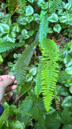
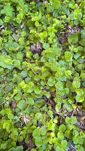
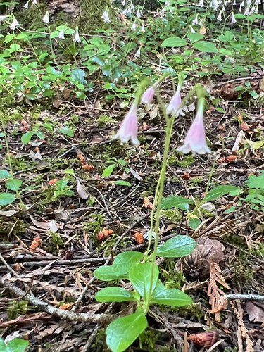
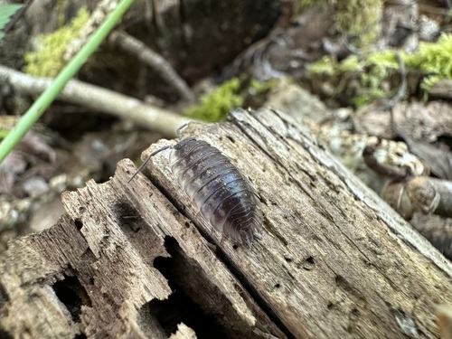
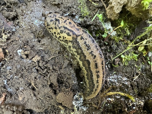
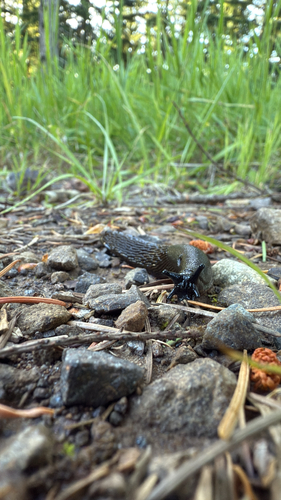
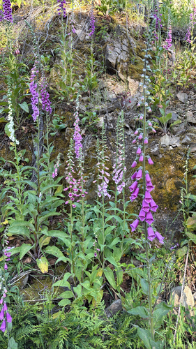
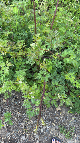
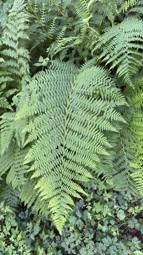
Research-grade observations from iNaturalist (within ~15 mi).
Nearest stream gauge
Events
Gallery
Geotagged photos within ~6 miles of Fall City, from Wikimedia Commons contributors.
 1 mi
1 mi 1 mi
1 mi 1 mi
1 mi 1 mi
1 mi 1 mi
1 mi 1 mi
1 mi 1.1 mi
 1.1 mi
 1.1 mi
 1.1 mi
 1.1 mi
 1.1 mi
 1.1 mi
 1.1 mi
 1.1 mi
 1.1 mi
 1.1 mi
 1.1 mi
 1.1 mi
 1.1 mi
 1.1 mi
,_01.jpg) 1.1 mi
1.1 mi,_02.jpg) 1.1 mi
1.1 mi,_03.jpg) 1.1 mi
1.1 miPhotos via Wikimedia Commons — see each image page for license & attribution.
Sources
- • Wikipedia
- • US Census Bureau (ACS 5-year estimates)
- • Open-Meteo (ERA5 reanalysis)
- • NOAA National Weather Service
- • Wikimedia Commons
- • Wikidata
- • Open-Meteo Air Quality (CAMS)
- • USGS Earthquake Catalog (global feed)
- • NCES via Urban Institute Education Data Portal
- • GBIF (Global Biodiversity Information Facility)
- • iNaturalist
- • CDC PLACES
- • Open-Elevation
- • Open-Meteo / sunrise-sunset.org
- • Wikipedia Pageviews API
- • Open Library
- • NASA EONET