Browse / United States / Washington / Fox Island
Fox Island
WashingtonCDP

Fox Island
Total population
3,414
Median home value
$1,003,900
Bachelor's+
Median income
$172,292
Demographic figures from US Census Bureau · ACS 5-year estimates. Overview below cites Wikipedia and may reference a different year.
City facts
Facts from Wikidata (CC0).
Overview
Fox Island is an island and census-designated place (CDP) in Pierce County, Washington, United States, located in Puget Sound. It is located approximately 5 miles (8 km) from Gig Harbor. The island was named Fox by Charles Wilkes during the United States Exploring Expedition, to honor J.L. Fox, an assistant surgeon on the expedition. The population was 3,921 at the 2020 census, up from 3,633 at the 2010 census.
Read more on WikipediaHistory & geography
History
The island was part of the territory of the Steilacoom people, a Coast Salish tribe. In 1792, during the Vancouver Expedition, Peter Puget led an exploration party through southern Puget Sound. After an encounter with local Native tribes ended with Puget ordering a musket fired as warning, the exploration party retreated to Fox Island, where they made camp for the night. In 1856, during the Puget Sound War, most of the Puyallup and "non-hostile" Nisqually Indians, totaling about 500 people, were removed from their homelands and displaced to Fox Island. John Swan was assigned to supervise the internment camp and distribute food rations provided by the government (territorial government). On January 5, 1856, Chief Leschi and other "hostile" Indians arrived at Fox Island with a flotilla of canoes. Trusting Swan, they had come to talk about the war and how to resolve it. While the hostile Indians were on Fox Island, Captain Maurice Maloney took the steamship Beaver to the island, hoping to rescue Swan, but forgot to bring landing craft and was unable to send men ashore. Before Maloney could figure out what to do, Swan came to the shore and paddled a canoe to the Beaver. He told Maloney that there had been no violence, urged him to not come ashore, and said he had promised to return to the island, which he did. Maloney returned to Steilacoom and, along with other military officers, took another steamship, the USS Active from Steilacoom to Seattle to get a howitzer (which they failed to acquire), then back to Fox Island, hoping to capture Chief Leschi. But by the time the Active returned, more than 30 hours after Leschi had arrived on Fox Island, the hostile Indians had left. On April 29, 1988, at 6 PM local time, a nuclear-powered US Navy submarine, the USS Sam Houston…
Geography
According to the United States Census Bureau, the census-designated place has a total area of , of which, of it is land and of it (18.31%) is water. Fox Island is separated from the mainland by Hale Passage to the north. The Fox Island Bridge crosses that passage to connect the road network to the mainland at Artondale. A small inhabited island named Tanglewood lies just off Fox Island along the Hale Passage; it was included as part of the Fox Island CDP for the 2010 Census. To the southwest, Carr Inlet separates Fox Island from McNeil Island.
Excerpted from the corresponding Wikipedia article (CC BY-SA).
Demographics & economy
Race & ethnicity
Source: US Census Bureau — American Community Survey, 5-year estimates.
Geography
Coordinates & boundaries from the US Census TIGER/Line shapefiles.
Climate
Current forecast
Forecast for Fox Island, WA from NOAA NWS API.
Air quality
Industrial & pollution facilities
Natural hazard risk
Health (adults)
Age-adjusted prevalence estimates from CDC PLACES (latest release).
Walkability
Amenities nearby
Wildlife & biodiversity
Most-observed species
- American CrowCorvus brachyrhynchos C.L.Brehm, 1822 · Aves28,750
- Song SparrowMelospiza melodia (A.Wilson, 1810) · Aves26,864
- Dark-eyed JuncoJunco hyemalis (Linnaeus, 1758) · Aves25,424
- American RobinTurdus migratorius Linnaeus, 1766 · Aves23,929
- Spotted TowheePipilo maculatus Swainson, 1827 · Aves21,210
- Black-capped ChickadeePoecile atricapillus (Linnaeus, 1766) · Aves20,892
- Anna's HummingbirdCalypte anna (R.Lesson, 1829) · Aves18,668
- Northern FlickerColaptes auratus (Linnaeus, 1758) · Aves18,485
Citizen-science & research observations from the Global Biodiversity Information Facility (GBIF).
Schools
Earthquake history
Most recent
- M 2.51 — 2026-08-0911 km SSW of River Road, Washington
- M 2.5 — 2026-06-2611 km E of Carnation, Washington
- M 2.84 — 2026-05-274 km W of Wauna, Washington
- M 2.52 — 2026-03-177 km SE of Mineral, Washington
- M 2.86 — 2026-03-112 km W of Home, Washington
- M 3.02 — 2026-02-244 km ESE of Cathcart, Washington
Events from the USGS Earthquake Catalog (global) (FDSN Event Web Service).
Photos
Sights & places nearby
Notable people from here


People born within ~10 km, from Wikidata (CC0). Click any name for their Wikipedia article.
Nearby places in Washington
Geography & sun
Elevation, sunrise/sunset and daylight from Open-Meteo. Solar climatology from NASA POWER.
Nearby airports
Public attention
Pageview totals from the Wikimedia Pageviews API.
Books about Fox Island

Search results from Open Library.
Recent natural events nearby
- Wildfire KING, Kittitas, WashingtonWildfires · 2026-08-19 · 67 mi
- Wildfire GOAT, Kittitas, WashingtonWildfires · 2026-08-22 · 76 mi
- Wildfire RANSIER, Yakima, WashingtonWildfires · 2026-07-26 · 109 mi
- Wildfire Electric, Whatcom, WashingtonWildfires · 2026-08-22 · 111 mi
- Wildfire SISI, Chelan, WashingtonWildfires · 2026-08-14 · 113 mi
- Wildfire Thunder Creek, Skagit, WashingtonWildfires · 2026-08-22 · 117 mi
- Wildfire Colwash, Yakima, WashingtonWildfires · 2026-08-22 · 138 mi
- Wildfire PEARL HILL, Douglas, WashingtonWildfires · 2026-07-25 · 150 mi
Wildfires, storms and other events from NASA EONET (last 12 months, within 250 mi).
Ground air-quality sensors
Recently spotted species
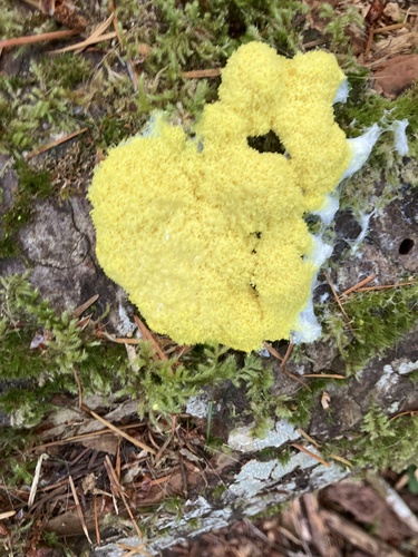
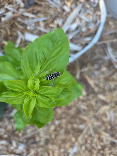
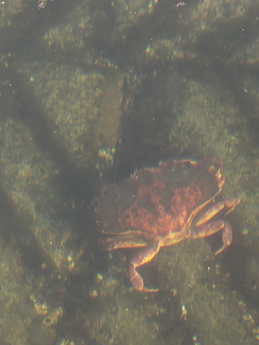
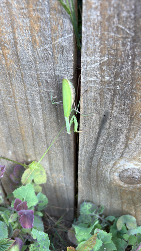
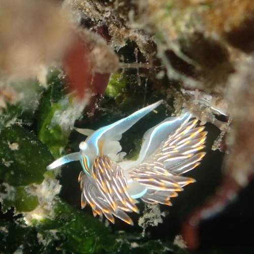
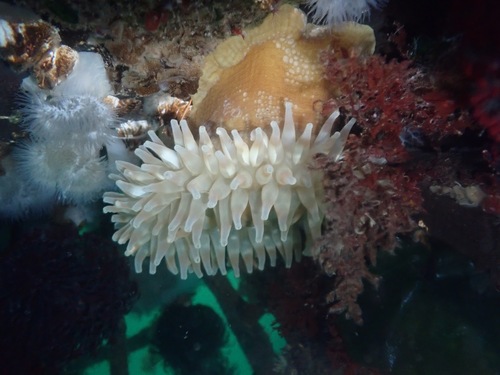
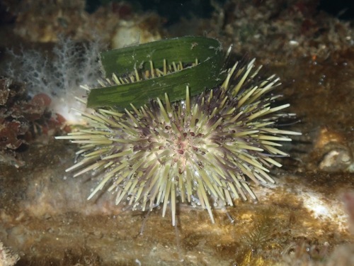
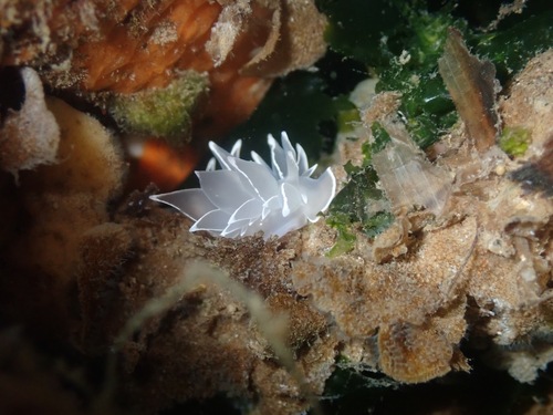
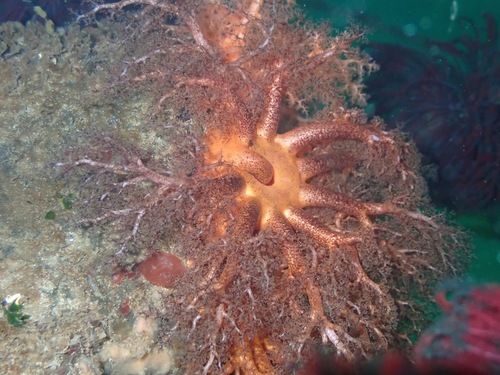
Research-grade observations from iNaturalist (within ~15 mi).
Nearest stream gauge
Events
Gallery
Sources
- • Wikipedia
- • US Census Bureau (ACS 5-year estimates)
- • NOAA National Weather Service
- • Wikidata
- • USGS Earthquake Catalog (global feed)
- • GBIF (Global Biodiversity Information Facility)
- • iNaturalist
- • CDC PLACES
- • Open-Meteo / sunrise-sunset.org
- • Wikipedia Pageviews API
- • Open Library
- • NASA EONET