Browse / United States / Washington / Lind
Lind
Washingtontown

Lind
Total population
565
Demographic figures from US Census Bureau · ACS 5-year estimates. Overview below cites Wikipedia and may reference a different year.
City facts
Facts from Wikidata (CC0).
Overview
Lind is a town in Adams County, Washington, United States. The population was 535 at the 2020 census, a 5.1% decrease over the preceding census.
Read more on WikipediaHistory & geography
History
Lind was first settled in 1888 on a relatively barren area along the Northern Pacific Railway's main line by the Neilson Brothers, James and Dugal. The site had previously been selected in 1881 for a station (an old boxcar) and section house and was named Lind by the railroad although the exact origin of that name has been lost. In the autumn of 1888 the Neilson Brothers built the first Lind residence and two years later they built and stocked a store and resumed postal service which until then had been processed in Ritzville and tossed off in town by passing trains. James Neilson became the first postmaster. The first school opened in 1889 with six students in attendance. The Neilson Brothers platted the town site on June 7, 1890, which consisted of only four square blocks. The Panic of 1893 would stave off any further development of the town site until the turn of the century. The Milwaukee Road would later lay its tracks through the south side of town, which is now the John Wayne Pioneer Trail. When the Neilson brothers platted the town site of Lind, they named all of the north to south streets to eventually spell out their surname. The town only grew large enough to spell "Neilso". The local Jr./Sr. High School has changed mascots many times some of which are Lind Bulldogs, Lind-Kahlotus Blue Devils, Lind-Ritzville Broncos, and the current Lind-Ritzville-Sprague Broncos which is classified as a 2B school according to the WIAA. Old time rival the Rearden Indians has been kept, but due to the great success with the local football program, it has been the very challenging Colfax Bulldogs. Also, due to state funding, the local high school will move to the nearby town of Ritzville, WA. The middle school remains at Lind as same with Ritzville. Local highways were also…
Geography
Lind is located near the geographical center of Adams County. It is situated within the shallow Lind Coulee, which forms part of the border between a rich agricultural region and the Channeled Scablands and just east of where the Paha and McElroy Coulees branch off to the north. Lind is located 5 miles west of Highway 395 where it intersects with Lind - Ralston and Lind - Kahlotus road, officially known as SR 21, in an area known as East Lind on maps, located at the base of the Paha Coulee. from the east, SR 21 passes through the center of town by becoming East 2nd Avenue then turning left on to North I Street then right onto North 1st Street. As the highway turns north, Lind - Hatton and Lind - Warden Roads branch off to the west. According to the United States Census Bureau, the town has a total area of , all of it land. According to the Köppen Climate Classification system, Lind has a semi-arid climate, abbreviated "BSk" on climate maps.
Excerpted from the corresponding Wikipedia article (CC BY-SA).
Demographics & economy
Geography
Coordinates & boundaries from the US Census TIGER/Line shapefiles.
Climate
Current forecast
Forecast for Lind, WA from NOAA NWS API.
Air quality
Industrial & pollution facilities
Natural hazard risk
Health (adults)
Age-adjusted prevalence estimates from CDC PLACES (latest release).
Walkability
Amenities nearby
Wildlife & biodiversity
Schools
Largest nearby schools
- Lind Elementary SchoolElementary · Lind · 116 students · 12.9:1 ratio
- Lind Ritzville Middle SchoolMiddle · Lind · 94 students
- Lind-Ritzville Middle SchoolMiddle · Lind · 53 students · 8.8:1 ratio
Public K–12 schools within ~10 mi from Urban Institute Education Data Portal (NCES Common Core of Data, 2022).
Earthquake history
Photos
Sights & places nearby
Notable people from here
Geography & sun
Elevation, sunrise/sunset and daylight from Open-Meteo. Solar climatology from NASA POWER.
Nearby airports
Public attention
Pageview totals from the Wikimedia Pageviews API.
Books about Lind

Search results from Open Library.
Recent natural events nearby
- Wildfire NUNAMAKER ROAD, Franklin, WashingtonWildfires · 2026-08-08 · 28 mi
- Wildfire LITTLE GOOSE, Columbia, WashingtonWildfires · 2026-08-07 · 39 mi
- Wildfire WELLS ROAD, Whitman, WashingtonWildfires · 2026-08-08 · 55 mi
- Wildfire PALOUSE RIVER, Whitman, WashingtonWildfires · 2026-08-08 · 62 mi
- Wildfire MITRE ROCK, Stevens, WashingtonWildfires · 2026-08-01 · 66 mi
- Wildfire OLD TRAILS, Spokane, WashingtonWildfires · 2026-08-01 · 71 mi
- Wildfire AUTUMN LANE, Spokane, WashingtonWildfires · 2026-08-01 · 74 mi
- Wildfire ALPOWA, Asotin, WashingtonWildfires · 2026-08-11 · 76 mi
Wildfires, storms and other events from NASA EONET (last 12 months, within 250 mi).
Ground air-quality sensors
Recently spotted species
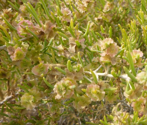
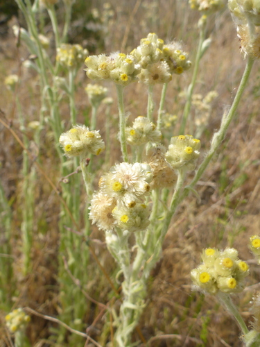

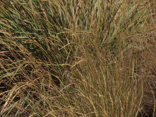
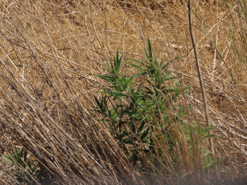
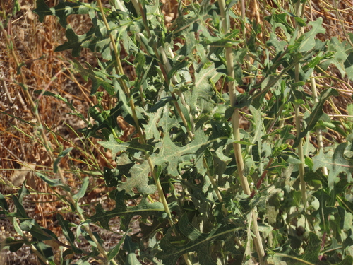
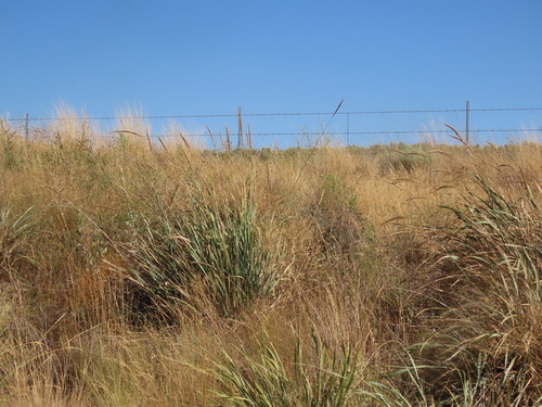
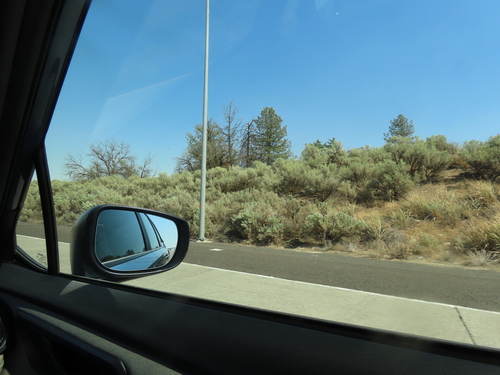
Research-grade observations from iNaturalist (within ~15 mi).
Nearest stream gauge
Events
Gallery
Sources
- • Wikipedia
- • NOAA National Weather Service
- • Wikidata
- • NCES via Urban Institute Education Data Portal
- • iNaturalist
- • CDC PLACES
- • Open-Meteo / sunrise-sunset.org
- • Wikipedia Pageviews API
- • Open Library
- • NASA EONET