Browse / United States / Washington / Neah Bay
Neah Bay
WashingtonCDP

Neah Bay
Total population
955
Median home value
$151,200
Bachelor's+
Median income
$44,276
Demographic figures from US Census Bureau · ACS 5-year estimates. Overview below cites Wikipedia and may reference a different year.
City facts
Facts from Wikidata (CC0).
Overview
Neah Bay is a census-designated place (CDP) on the Makah Reservation in Clallam County, Washington, United States. The population was 935 at the 2020 census. It is across the Canada–US border from British Columbia. Europeans originally called it "Scarborough Harbour" in honor of Captain James Scarborough of the Hudson's Bay Company. It was changed to Neah in 1847 by Captain Henry Kellett. Kellett spelled it "Neeah Bay". The name "Neah" refers to the Makah Chief Dee-ah, pronounced Neah in the Klallam language. During the summer months, Neah Bay is a popular fishing area for sports fishermen. Another attraction is the Makah Museum, which houses artifacts from a Makah village partly buried by a mudslide around 1750. Many people also visit to hike the Cape Trail or camp at Hobuck Beach. An emergency response tug is stationed at Neah Bay which has saved 41 vessels since its introduction in 1999.
Read more on WikipediaHistory & geography
History
The name "Neah" refers to the Makah Chief Dee-ah, pronounced Neah in the Klallam language. The town is named for the water body Neah Bay, which acquired its name in the early 19th century. A number of names were used for the bay before it was established as Neah Bay. In August 1788 Captain Charles Duncan, a British trader, charted a bay at the location of Neah Bay, but did not give it a name. In 1790 Manuel Quimper took possession of the bay for Spain and named it "Bahía de Núñez Gaona" in honor of Alonso Núñez de Haro y Peralta, viceroy of New Spain. In 1792 Salvador Fidalgo began to build a Spanish fort on Neah Bay, but the project failed within the year and the cannon and supplies were transported to the more northerly colony of Santa Cruz de Nuca. While Fidalgo was working on the fort George Vancouver charted but did not stop at the bay. American traders called Neah Bay "Poverty Cove". In 1841 the United States Exploring Expedition under Charles Wilkes mapped the region and named Neah Bay "Scarborough Harbour" in honor of Captain James Scarborough of the Hudson's Bay Company, who had provided assistance to the expedition. The Wilkes map contained the first use of the word "Neah", but for the bay's island, now called Waadah Island. The bay was first called Neah in 1847 by Captain Henry Kellett during his reorganization of the British Admiralty charts. Kellett spelled it "Neeah Bay". In 1929, the Neah Bay Dock Company, a subsidiary of the Puget Sound Navigation Company, owned a wharf and a hotel at Neah Bay. In 2020, due to the COVID-19 pandemic, Neah Bay and the Makah Reservation were closed to anyone who was not a Makah tribal member. The tribal council decided to reopen the reservation on 15 March 2022.
Geography
According to the United States Census Bureau, Neah Bay has a total area of , all of it land. The community is approximately west-northwest of Seattle. Neah Bay has an oceanic climate (Köppen: Cfb), common in the small coastal cities of Washington. Generally speaking, temperatures have little annual fluctuation being strongly influenced by the Pacific Ocean, with the warm currents and patterns of the west as well as the mountains to the east that shape an extremely light climate, even between places in close conditions. Its climate is similar to southern New Zealand, but with cool summers to cold and rarely warm as it is most common in these places. To the west of the Olympic Mountains, Neah Bay has an often rainy climate and usually in larger numbers than the Gulf Coast, the wettest place in the eastern US. Although it is a pretty damp city, its average amount of snow falling is only slightly higher than Norfolk, VA. Sunshine hours are typical for an often hazy temperate climate. Climate data is taken from a weather station on nearby Tatoosh Island that operated until 1966.
Excerpted from the corresponding Wikipedia article (CC BY-SA).
Demographics & economy
Race & ethnicity
Source: US Census Bureau — American Community Survey, 5-year estimates.
Geography
Coordinates & boundaries from the US Census TIGER/Line shapefiles.
Climate
10-year averages from ERA5 reanalysis (Open-Meteo).
Current forecast
Forecast for Neah Bay, WA from NOAA NWS API.
Air quality
Industrial & pollution facilities
Natural hazard risk
Health (adults)
Walkability
Amenities nearby
Wildlife & biodiversity
Most-observed species
- American CrowCorvus brachyrhynchos C.L.Brehm, 1822 · Aves3,294
- Bald EagleHaliaeetus leucocephalus (Linnaeus, 1766) · Aves3,218
- Song SparrowMelospiza melodia (A.Wilson, 1810) · Aves2,481
- Pelagic CormorantPhalacrocorax pelagicus Pallas, 1811 · Aves2,468
- Surf ScoterMelanitta perspicillata (Linnaeus, 1758) · Aves2,265
- American RobinTurdus migratorius Linnaeus, 1766 · Aves2,164
- Glaucous-winged GullLarus glaucescens J.F.Naumann, 1840 · Aves2,138
- Pacific WrenTroglodytes pacificus S.F.Baird, 1864 · Aves2,033
Citizen-science & research observations from the Global Biodiversity Information Facility (GBIF).
Schools
Earthquake history
Most recent
- M 2.85 — 2025-10-228 km SW of Port Angeles, Washington
- M 2.6 — 2025-09-1814 km SW of Cowichan Bay, Canada
- M 3.7 — 2025-08-1917 km NNW of Sekiu, Washington
- M 3 — 2025-05-0119 km E of Ucluelet, Canada
- M 3.68 — 2025-02-1416 km SSE of Victoria, Canada
- M 2.57 — 2024-10-2934 km WSW of Neah Bay, Washington
Events from the USGS Earthquake Catalog (global) (FDSN Event Web Service).
Photos
Sights & places nearby
Notable people from here
People born within ~10 km, from Wikidata (CC0). Click any name for their Wikipedia article.
Geography & sun
Elevation, sunrise/sunset and daylight from Open-Meteo. Solar climatology from NASA POWER.
Nearby airports
Public attention
Books about Neah Bay

Search results from Open Library.
Recent natural events nearby
- Wildfire THREE QUEENS, Kittitas, WashingtonWildfires · 2026-07-16 · 168 mi
- Wildfire Border 2, Whatcom, WashingtonWildfires · 2026-07-16 · 169 mi
- Wildfire LITTLE GIANT, Chelan, WashingtonWildfires · 2026-07-16 · 175 mi
- Wildfire PTARMIGAN, Okanogan, WashingtonWildfires · 2026-07-17 · 187 mi
- Wildfire HIGH LAVA, Skamania, WashingtonWildfires · 2026-07-23 · 208 mi
- Wildfire SINLAHEKIN, Okanogan, WashingtonWildfires · 2026-07-26 · 226 mi
- Wildfire RANSIER, Yakima, WashingtonWildfires · 2026-07-26 · 228 mi
- Wildfire Signal Peak, Yakima, WashingtonWildfires · 2026-07-24 · 228 mi
Wildfires, storms and other events from NASA EONET (last 12 months, within 250 mi).
Ground air-quality sensors
Recently spotted species
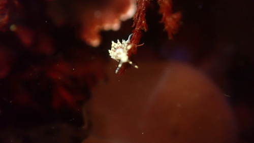
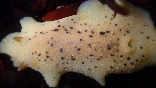
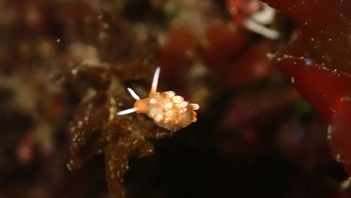
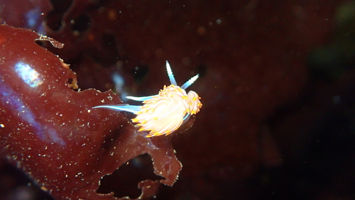
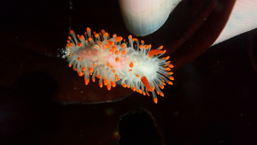
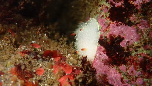
Research-grade observations from iNaturalist (within ~15 mi).
Nearest stream gauge
Live readings from USGS NWIS · measured 2026-08-15 06:30 UTC.
Events
Gallery
Sources
- • Wikipedia
- • US Census Bureau (ACS 5-year estimates)
- • Open-Meteo (ERA5 reanalysis)
- • NOAA National Weather Service
- • Wikidata
- • USGS Earthquake Catalog (global feed)
- • USGS NWIS (water data)
- • GBIF (Global Biodiversity Information Facility)
- • iNaturalist
- • Open-Meteo / sunrise-sunset.org
- • Open Library
- • NASA EONET