Browse / United States / Washington / Packwood
Packwood
WashingtonCDP

Packwood
Total population
99
Median home value
$0
Bachelor's+
Median income
$0
Demographic figures from US Census Bureau · ACS 5-year estimates. Overview below cites Wikipedia and may reference a different year.
City facts
Facts from Wikidata (CC0).
Overview
Packwood is an unincorporated community and census-designated place (CDP) located in easternmost Lewis County, Washington, in the United States. As of the 2020 census, the CDP had a population of 319, while the town and surrounding Packwood community had a total population of 1,073.
Read more on WikipediaHistory & geography
History
Before the Packwood community began, a large village of the Upper Cowlitz people existed at the present-day site of the town; tribal members near Kiona Creek were known as the ceq'klama. The name "Packwood", used for the town, a mountain pass, and a lake, honors William Packwood, a Virginian pioneer and explorer of Oregon and Washington. Packwood and James Longmire were tasked by the Washington Territorial Legislature to chart a low pass over the Cascade Range, this necessitated by the deaths of several delegates in their journey to the first legislative session. As a mark of their successes in this venture, the charted pass – called the Packwood Saddle – is still unused by any road, trail, or other conveyance to pass between the east and west sides of the Cascades. Packwood is home to the historic Packwood Ranger Station located off of US-12. Packwood suffered severe flooding during an excessive rain and snowmelt event in December 1977. Eight homes were washed away and evacuations were necessary. Several bridges were closed after either washouts or structural damage, cutting off Packwood. The Johnson Creek Bridge, located on the main arterial of White Pass Scenic Byway, collapsed. The community was inundated again during a November 2006 flood necessitating evacuations of hundreds of people from the High Valley area after a dike broke. Washed out homes were carried away by the Cowlitz River, which was recorded as exceeding ; the powerful flood changed the course of the river. The Cowlitz crested twice during the 2025 Pacific Northwest floods. The river on December 9 reached , considered just under major flood stage; it peaked the following day at . People were evacuated along the river in the Packwood area; approximately 60 or more people were rescued in part by…
Geography
Packwood is located at the intersection of US Highway 12 and Gifford Pinchot National Forest Road 52 (Skate Creek Road). It is located between Mount Rainier National Park to the north and Mt. St. Helens National Volcanic Monument to the south. The Tatoosh Wilderness, Goat Rocks Wilderness, and William O. Douglas Wilderness are to the north, southeast, and northeast respectively, with the Gifford Pinchot National Forest as a buffer in all directions. Packwood is located in the upper Cowlitz River valley, just downstream of the confluence of the Muddy and Clear forks of the Cowlitz. The White Pass Ski Area and crest of the Cascade Range demark the eastern edge of the Packwood area, the town of Randle the west, and large expanses of forest, wilderness, and parkland the north and south. According to the U.S. Census Bureau, the Packwood CDP has an area of , all of it recorded as land. The larger Packwood area, including the residential communities of Goat Rocks, High Valley Park, Packwood Heights, Skate Creek Terrace, Skyline, and Timberline Village, has 1,073 full-time residents. According to the Köppen Climate Classification system, Packwood has a warm-summer Mediterranean climate, abbreviated "Csb" on climate maps.
Excerpted from the corresponding Wikipedia article (CC BY-SA).
Demographics & economy
Race & ethnicity
Source: US Census Bureau — American Community Survey, 5-year estimates.
Geography
Coordinates & boundaries from the US Census TIGER/Line shapefiles.
Climate
Air quality
Industrial & pollution facilities
Natural hazard risk
Health (adults)
Age-adjusted prevalence estimates from CDC PLACES (latest release).
Walkability
Amenities nearby
Wildlife & biodiversity
Schools
Earthquake history
Photos
Sights & places nearby
Notable people from here
Geography & sun
Elevation, sunrise/sunset and daylight from Open-Meteo. Solar climatology from NASA POWER.
Nearby airports
Public attention
Pageview totals from the Wikimedia Pageviews API.
Books about Packwood

Search results from Open Library.
Recent natural events nearby
- Wildfire RANSIER, Yakima, WashingtonWildfires · 2026-07-26 · 47 mi
- Wildfire KING, Kittitas, WashingtonWildfires · 2026-08-19 · 63 mi
- Wildfire GOAT, Kittitas, WashingtonWildfires · 2026-08-22 · 66 mi
- Wildfire Colwash, Yakima, WashingtonWildfires · 2026-08-22 · 76 mi
- Wildfire Austin Non-Stat, Clackamas, OregonWildfires · 2026-08-12 · 110 mi
- Wildfire AUSTIN, Clackamas, OregonWildfires · 2026-08-09 · 110 mi
- Wildfire SISI, Chelan, WashingtonWildfires · 2026-08-14 · 126 mi
- Wildfire Ruggs, Morrow, OregonWildfires · 2026-08-31 · 133 mi
Wildfires, storms and other events from NASA EONET (last 12 months, within 250 mi).
Ground air-quality sensors
Recently spotted species
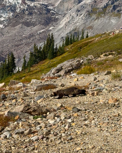
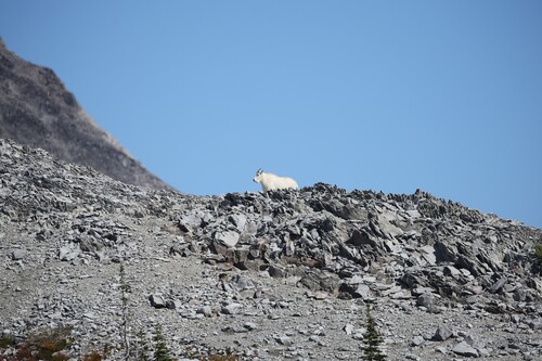
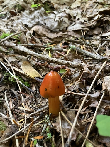
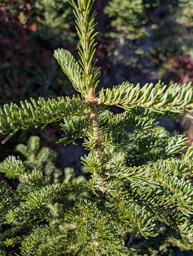
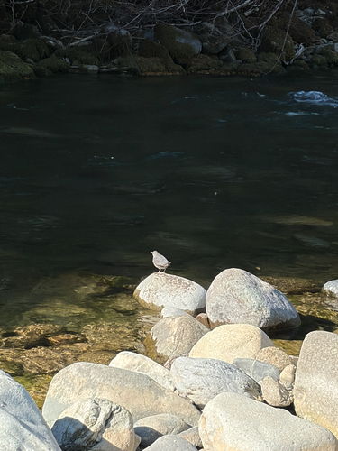
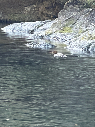
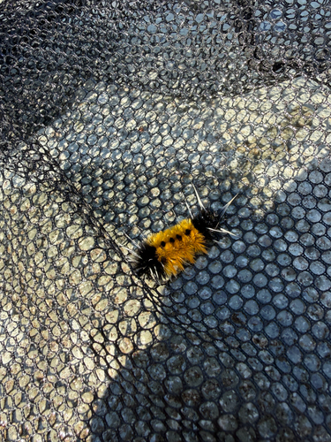
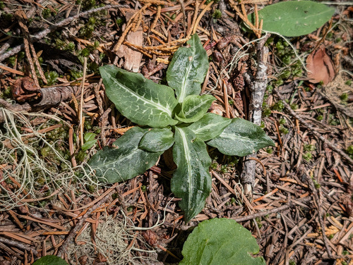
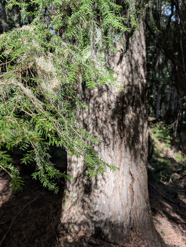
Research-grade observations from iNaturalist (within ~15 mi).
Nearest stream gauge
Events
Gallery
Sources
- • Wikipedia
- • US Census Bureau (ACS 5-year estimates)
- • Wikidata
- • iNaturalist
- • CDC PLACES
- • Open-Meteo / sunrise-sunset.org
- • Wikipedia Pageviews API
- • Open Library
- • NASA EONET