Browse / United States / Washington / Puyallup
Puyallup
Washingtoncity

Puyallup
Total population
42,746
Median home value
$551,800
Bachelor's+
Median income
$97,826
Demographic figures from US Census Bureau · ACS 5-year estimates. Overview below cites Wikipedia and may reference a different year.
City facts
Facts from Wikidata (CC0).
Overview
Puyallup is a city in Pierce County, Washington, United States. It is on the Puyallup River about 10 miles (16 km) southeast of Tacoma and 35 miles (56 km) south of Seattle. The city had a population of 42,973 at the 2020 census.
Read more on WikipediaHistory & geography
History
The Puyallup Valley was originally inhabited by the Puyallup people, known in their language as the spuyaləpabš, meaning "generous and welcoming behavior to all people (friends and strangers) who enter our lands." The first white settlers in the region were part of the first wagon train to cross the Cascade Range at Naches Pass in 1853. Native Americans numbered about 2,000 in what is now the Puyallup Valley in the 1830s and 1840s. The first European settlers arrived in the 1850s. In 1877, Ezra Meeker platted a townsite and named it Puyallup after the local Puyallup Indian tribes, 11 years after departing from Indiana. The town grew rapidly throughout the 1880s, in large part thanks to Meeker's hop farm, which brought in millions of dollars to Puyallup, leading to it eventually being incorporated in 1890, with Ezra Meeker as its first mayor. The turn of the 20th century brought change to the valley with the growth of nearby Tacoma and the interurban rail lines. The Western Washington Fairgrounds were developed giving local farmers a place to exhibit their crops and livestock. During the early part of World War II due to Executive Order 9066, the fairgrounds were part of Camp Harmony, a temporary Japanese American internment camp for more than 7,000 detainees, most of whom were American citizens. Subsequently, they were moved to the Minidoka relocation center near Twin Falls, Idaho.
Geography
Puyallup is approximately southeast of Tacoma and south of Seattle. It is situated along the Puyallup River, which flows for from the Puyallup and Tahoma glaciers on Mount Rainier to Commencement Bay in Tacoma. The river drains an area of and was formed approximately 5,600 years before present. The city lies within the Puyallup Valley, an agricultural region that produces berries and daffodils, for which the annual local festival is named. According to the United States Census Bureau, the city has a total area of , of which is land and is water, mainly consisting of the Puyallup River estuary. Puyallup is surrounded by unincorporated areas; its closest municipalities include the city of Sumner to the northeast, Fife and Edgewood to the north, Tacoma to the northwest, Summit and Midland to the west, South Hill, Graham and Frederickson to the south, McMillin and Orting to the southeast, and Alderton to the east. The city includes wildlife habitats for urbanized bird species and small mammals, reptiles, and amphibians. The entire Puyallup Valley is built on deposits of the 5,600-year-old Osceola Mudflow, which deposited as much as of material and was similar to largest lahars Mount Rainier could produce. A 2009 study by the United States Geological Survey (USGS) determined that Puyallup has the highest number of dependent-population facilities, public venues, and overall community assets within lahar hazard zones. The Washington State Department of Natural Resources estimates that the Puyallup Valley could experience $6–12 billion in damage from a major lahar. To combat lahar danger, Pierce County maintains the Mount Rainier Volcano Lahar Warning System, implemented in 1998 by the USGS. The system includes lahar warning sirens and volcano evacuation route…
Excerpted from the corresponding Wikipedia article (CC BY-SA).
Demographics & economy
Race & ethnicity
Source: US Census Bureau — American Community Survey, 5-year estimates.
Geography
Coordinates & boundaries from the US Census TIGER/Line shapefiles.
Climate
Current forecast
Forecast for Puyallup, WA from NOAA NWS API.
Air quality
Industrial & pollution facilities
Natural hazard risk
Health (adults)
Age-adjusted prevalence estimates from CDC PLACES (latest release).
Walkability
Amenities nearby
Wildlife & biodiversity
Schools
Largest nearby schools
- Graham Kapowsin High SchoolHigh · Graham · 2,011 students · 23.9:1 ratio
- Spanaway Lake High SchoolHigh · Spanaway · 1,817 students · 23.9:1 ratio
- Bethel High SchoolHigh · Spanaway · 1,739 students · 22:1 ratio
- Gov John Rogers High SchoolHigh · Puyallup · 1,730 students · 24:1 ratio
- Sumner High SchoolHigh · Sumner · 1,728 students · 22.4:1 ratio
- Puyallup High SchoolHigh · Puyallup · 1,701 students · 23.6:1 ratio
- Bonney Lake High SchoolHigh · Bonney Lake · 1,636 students · 21.2:1 ratio
- Lincoln High SchoolHigh · Tacoma · 1,578 students · 19:1 ratio
Public K–12 schools within ~10 mi from Urban Institute Education Data Portal (NCES Common Core of Data, 2022).
Earthquake history
Photos
Sights & places nearby
Notable people from here


People born within ~10 km, from Wikidata (CC0). Click any name for their Wikipedia article.
Nearby places in Washington
- Edgewood3.7 mi away · pop. 13,032
- Midland5.7 mi away · pop. 9,050
- Pacific6 mi away · pop. 7,066
- Bonney Lake6.2 mi away · pop. 22,090
- Fife Heights6.2 mi away
- Orting6.8 mi away · pop. 8,978
- Frederickson6.9 mi away · pop. 25,383
- Parkland7.3 mi away · pop. 38,742
- Prairie Ridge7.5 mi away
- South Prairie9.6 mi away · pop. 309
- McChord AFB9.9 mi away · pop. 2,999
- Browns Point11 mi away · pop. 979
Geography & sun
Elevation, sunrise/sunset and daylight from Open-Meteo. Solar climatology from NASA POWER.
Nearby airports
Public attention
Pageview totals from the Wikimedia Pageviews API.
Books about Puyallup
Search results from Open Library.
Recent natural events nearby
- Wildfire KING, Kittitas, WashingtonWildfires · 2026-08-19 · 53 mi
- Wildfire GOAT, Kittitas, WashingtonWildfires · 2026-08-22 · 61 mi
- Wildfire RANSIER, Yakima, WashingtonWildfires · 2026-07-26 · 92 mi
- Wildfire SISI, Chelan, WashingtonWildfires · 2026-08-14 · 105 mi
- Wildfire Electric, Whatcom, WashingtonWildfires · 2026-08-22 · 109 mi
- Wildfire Thunder Creek, Skagit, WashingtonWildfires · 2026-08-22 · 111 mi
- Wildfire Colwash, Yakima, WashingtonWildfires · 2026-08-22 · 121 mi
- Wildfire PEARL HILL, Douglas, WashingtonWildfires · 2026-07-25 · 137 mi
Wildfires, storms and other events from NASA EONET (last 12 months, within 250 mi).
Ground air-quality sensors
Recently spotted species
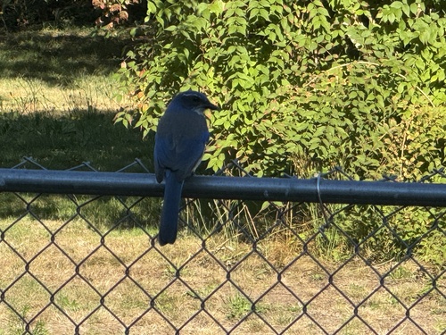
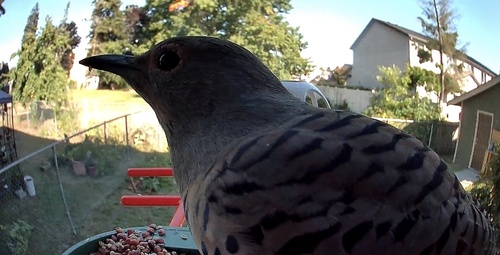
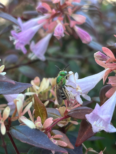
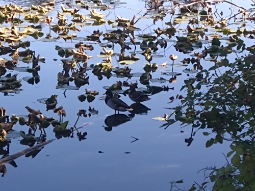
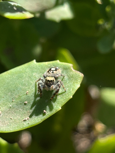
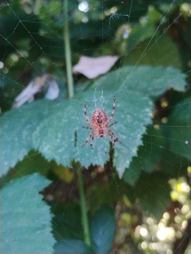
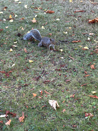
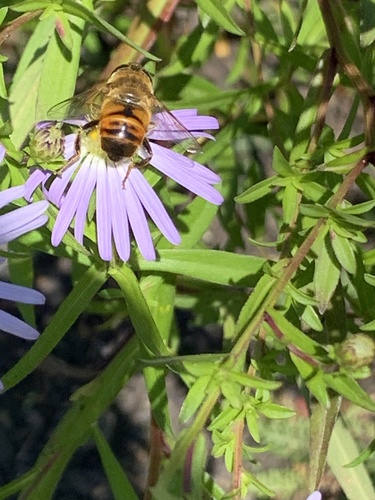
Research-grade observations from iNaturalist (within ~15 mi).
Nearest stream gauge
Events
Gallery
Sources
- • Wikipedia
- • US Census Bureau (ACS 5-year estimates)
- • NOAA National Weather Service
- • Wikidata
- • NCES via Urban Institute Education Data Portal
- • iNaturalist
- • CDC PLACES
- • Open-Meteo / sunrise-sunset.org
- • Wikipedia Pageviews API
- • Open Library
- • NASA EONET