Browse / United States / Washington / Rock Island
Rock Island
Washingtoncity

Rock Island
Total population
1,251
Founded
1930
Demographic figures from US Census Bureau · ACS 5-year estimates. Overview below cites Wikipedia and may reference a different year.
City facts
Facts from Wikidata (CC0).
Overview
Rock Island is a city in Douglas County, Washington, United States. It is part of the Wenatchee–East Wenatchee Metropolitan Statistical Area. The population was 1,279 at the 2020 census.
Read more on WikipediaHistory & geography
History
Rock Island was officially incorporated on November 3, 1930. The area of Rock Island was used by Native American tribes for fishing and crossing of the Columbia River due to the nearby Rock Island Rapids prior to settlement of the Washington Territory. The site had been previously settled in the late 19th century and was known as Hammond; early maps sometimes show the city as Hammond P.O. (Post Office) or Power City. In the teacup valley in which Rock Island is currently located, two men, Ingraham and McBride, opened a trading post in the early 1860s. Their patrons were local Native Americans, who often fished that stretch of the Columbia when the fish were running. The two pioneering men would later move their post to the mouth of the Wenatchee River, leaving little trace of their stay. The most notable figure in Rock Island's founding is James E. Keane. As the first permanent settler to the Rock Island area, James Keane arrived with a crew of men in 1887. Keane planned to build a home and improve the land that he had acquired through the Homestead, Pre-emption, and Desert Acts. Four years later, the Great Northern Railroad made its first survey of the area and began construction toward the valley from the east. One half mile upriver from the well-known Rock Island Rapids, Mr. Keane platted a townsite he named Hammond. Hammond was located nearly 2.5 miles south of the present site of the City of Rock Island due to changes in planning by the Great Northern Railway. Keane moved his townsite to this new area and named it Rock Island, named aptly for the rock islands in the Columbia River near the site. Between 1891 and 1893, Rock Island became a town of considerable importance for the railroad. The mammoth steel bridge that was built across the Columbia drew…
Geography
According to the United States Census Bureau, the city has a total area of , of which, is land and is water. This region experiences warm (but not hot) and dry summers, with no average monthly temperatures above 71.6 °F. According to the Köppen Climate Classification system, Rock Island has a warm-summer Mediterranean climate, abbreviated "Csb" on climate maps.
Excerpted from the corresponding Wikipedia article (CC BY-SA).
Demographics & economy
Geography
Coordinates & boundaries from the US Census TIGER/Line shapefiles.
Climate
Current forecast
Forecast for Rock Island, WA from NOAA NWS API.
Air quality
Industrial & pollution facilities
Natural hazard risk
Health (adults)
Age-adjusted prevalence estimates from CDC PLACES (latest release).
Walkability
Amenities nearby
Wildlife & biodiversity
Schools
Largest nearby schools
- Eastmont Senior HighHigh · East Wenatchee · 1,454 students · 22:1 ratio
- Sterling Junior High SchoolMiddle · East Wenatchee · 751 students · 17.9:1 ratio
- Eastmont Junior HighMiddle · East Wenatchee · 711 students · 16.5:1 ratio
- Cascade ElementaryElementary · East Wenatchee · 615 students · 16.6:1 ratio
- Kenroy ElementaryElementary · East Wenatchee · 542 students · 15.5:1 ratio
- Lee ElementaryElementary · East Wenatchee · 541 students · 16.9:1 ratio
- Grant Elementary SchoolElementary · East Wenatchee · 494 students · 16.5:1 ratio
- Clovis Point Elementary SchoolElementary · East Wenatchee · 472 students · 15.7:1 ratio
Public K–12 schools within ~10 mi from Urban Institute Education Data Portal (NCES Common Core of Data, 2022).
Earthquake history
Photos
Sights & places nearby
Notable people from here
Nearby places in Washington
- South Wenatchee7 mi away
- East Wenatchee7.3 mi away
- Crescent Bar12.8 mi away · pop. 271
- Quincy16.6 mi away · pop. 7,998
- Entiat21.3 mi away · pop. 1,284
- Sunland Estates21.3 mi away
- Kittitas29.9 mi away · pop. 1,221
- Vantage30.4 mi away
- Ellensburg32 mi away
- Thorp32.7 mi away · pop. 230
- Mansfield38.3 mi away · pop. 298
- Beverly38.5 mi away · pop. 356
Geography & sun
Elevation, sunrise/sunset and daylight from Open-Meteo. Solar climatology from NASA POWER.
Nearby airports
Public attention
Pageview totals from the Wikimedia Pageviews API.
Books about Rock Island
Search results from Open Library.
Recent natural events nearby
- Wildfire GOAT, Kittitas, WashingtonWildfires · 2026-08-22 · 43 mi
- Wildfire KING, Kittitas, WashingtonWildfires · 2026-08-19 · 53 mi
- Wildfire SISI, Chelan, WashingtonWildfires · 2026-08-14 · 74 mi
- Wildfire Colwash, Yakima, WashingtonWildfires · 2026-08-22 · 83 mi
- Wildfire Thunder Creek, Skagit, WashingtonWildfires · 2026-08-22 · 91 mi
- Wildfire MITRE ROCK, Stevens, WashingtonWildfires · 2026-08-01 · 92 mi
- Wildfire NUNAMAKER ROAD, Franklin, WashingtonWildfires · 2026-08-08 · 98 mi
- Wildfire HUDSPETH, Stevens, WashingtonWildfires · 2026-08-01 · 105 mi
Wildfires, storms and other events from NASA EONET (last 12 months, within 250 mi).
Ground air-quality sensors
Recently spotted species
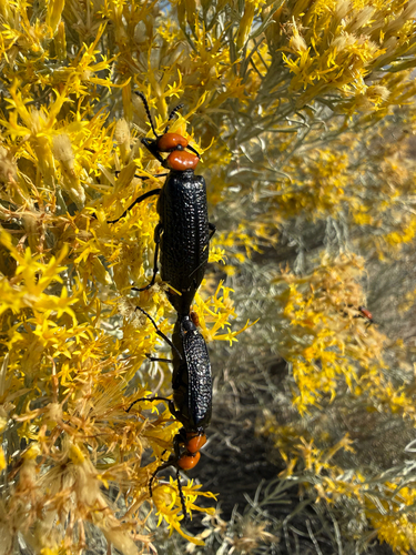
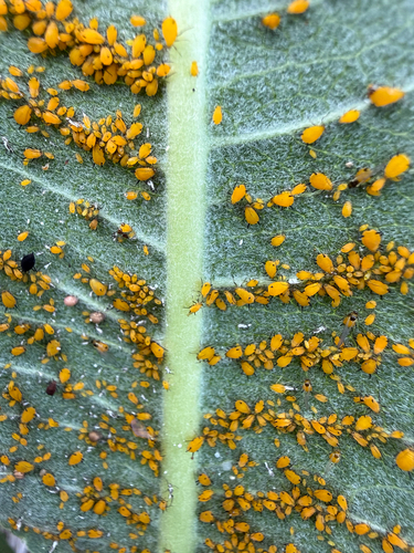
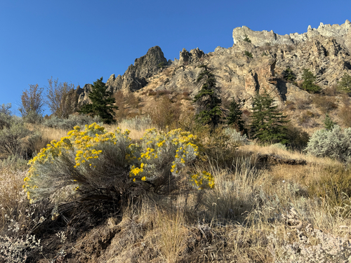
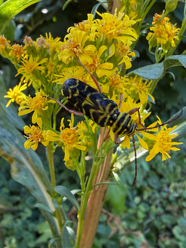
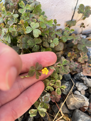
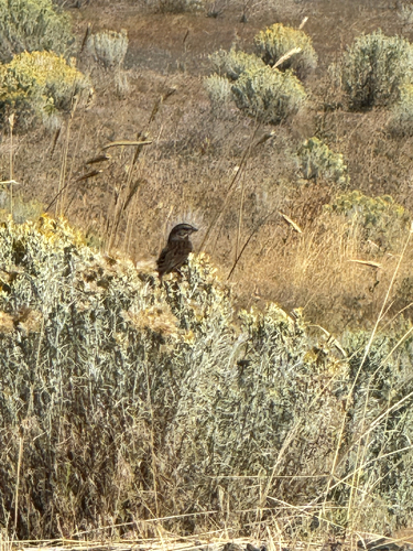
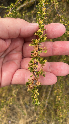
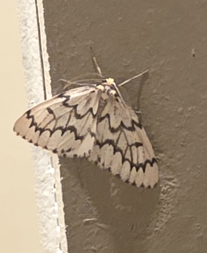
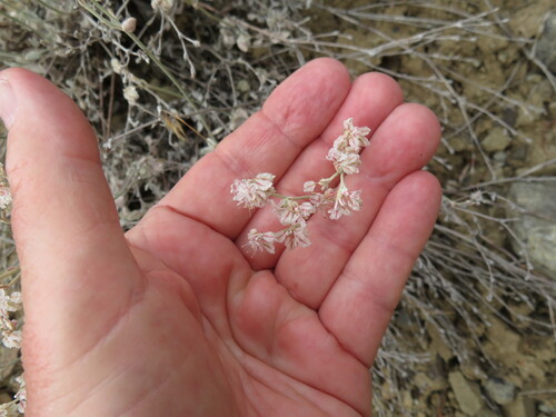
Research-grade observations from iNaturalist (within ~15 mi).
Nearest stream gauge
Events
Gallery
Sources
- • Wikipedia
- • NOAA National Weather Service
- • Wikidata
- • NCES via Urban Institute Education Data Portal
- • iNaturalist
- • CDC PLACES
- • Open-Meteo / sunrise-sunset.org
- • Wikipedia Pageviews API
- • Open Library
- • NASA EONET