Browse / United States / Washington / Seabeck
Seabeck
WashingtonCDP

Seabeck
Total population
787
Demographic figures from US Census Bureau · ACS 5-year estimates. Overview below cites Wikipedia and may reference a different year.
City facts
Facts from Wikidata (CC0).
Overview
Seabeck is an unincorporated community and census-designated place (CDP) in Kitsap County, Washington, United States. The population was 1,105 at the 2010 census Seabeck is a former mill town on Hood Canal. and had increased to 1,143 by the 2020 census.
Read more on WikipediaHistory & geography
History
Seabeck was founded in 1856 by Marshall Blinn and William Adams, doing business as the Washington Mill Company. Their lumber was in such demand they built a second mill, then a shipyard to build boats to haul the lumber to California, which had high demand due to the California Gold Rush. Eventually, along with four saloons, the town had two general stores and two hotels. In 1876, there were over 400 people living in Seabeck. After decades of success, in the 1880s the demand had eased, and most of the easily accessible trees had been harvested. In August 1886 a spark from the ship Retriever started a fire that consumed both mills, along with other buildings. Rumors flew that the mills would not be re-built, so most residents moved to other towns with mills, notably Port Hadlock, turning Seabeck into a virtual ghost town. In 1914, the old townsite was purchased by Laurence Colman and revived as a retreat for Puget Sound's YMCA & YWCA clubs, and eventually all non-profit groups. Several surviving buildings from the 1850s-60s were refurbished and today form the campus of the Seabeck Conference Center. Seabeck is a mostly rural area, consisting primarily of the conference center across the road and lagoon from the general store, coffee shop, antique store, a pizza parlor and Olympic View Marina. There are houses and a now-demolished elementary school that served the areas around Seabeck. The population was 1,105 at the 2010 census. Under the direction of William J. Adams, the Washington Mill Company undertook the role of a shipyard, constructing vessels for a brief period of time in the late 1800s. In total, the Washington Mill Company is responsible for creating at least seven vessels of varying type within the city of Seabeck. Source: * Georgia – 1872, steamer *…
Geography
Seabeck is in western Kitsap County, along the southeastern shore of Hood Canal. It is northwest of Bremerton. The village of Seabeck is in the center of the Seabeck CDP, which extends east to Big Beef Creek and west to Stavis Bay. Scenic Beach State Park is in the western part of the CDP. Lake William Symington is directly south, a few kilometers away from the southern boundaries of the city. According to the U.S. Census Bureau, the Seabeck CDP has a total area of , of which are land and , or 21.85%, are water.
Excerpted from the corresponding Wikipedia article (CC BY-SA).
Demographics & economy
Geography
Coordinates & boundaries from the US Census TIGER/Line shapefiles.
Climate
Current forecast
Forecast for Seabeck, WA from NOAA NWS API.
Air quality
Industrial & pollution facilities
Natural hazard risk
Health (adults)
Age-adjusted prevalence estimates from CDC PLACES (latest release).
Walkability
Amenities nearby
Wildlife & biodiversity
Most-observed species
- Dark-eyed JuncoJunco hyemalis (Linnaeus, 1758) · Aves14,873
- Spotted TowheePipilo maculatus Swainson, 1827 · Aves14,633
- Song SparrowMelospiza melodia (A.Wilson, 1810) · Aves14,135
- American RobinTurdus migratorius Linnaeus, 1766 · Aves12,721
- Black-capped ChickadeePoecile atricapillus (Linnaeus, 1766) · Aves10,236
- American CrowCorvus brachyrhynchos C.L.Brehm, 1822 · Aves9,653
- Anna's HummingbirdCalypte anna (R.Lesson, 1829) · Aves9,560
- Chestnut-backed ChickadeePoecile rufescens (J.K.Townsend, 1837) · Aves9,064
Citizen-science & research observations from the Global Biodiversity Information Facility (GBIF).
Schools
Earthquake history
Most recent
- M 2.56 — 2026-09-122 km E of Mount Vernon, Washington
- M 2.51 — 2026-08-0911 km SSW of River Road, Washington
- M 3.8 — 2026-07-022 km E of Oak Harbor, Washington
- M 2.5 — 2026-06-2611 km E of Carnation, Washington
- M 2.87 — 2026-06-082 km ESE of Oak Harbor, Washington
- M 2.84 — 2026-05-274 km W of Wauna, Washington
Events from the USGS Earthquake Catalog (global) (FDSN Event Web Service).
Photos
Sights & places nearby
Notable people from here


People born within ~10 km, from Wikidata (CC0). Click any name for their Wikipedia article.
Nearby places in Washington
- Silverdale6.5 mi away
- Rocky Point7.9 mi away
- Navy Yard City9.6 mi away · pop. 2,672
- Gorst9.8 mi away · pop. 550
- Port Orchard11.3 mi away
- East Port Orchard12.7 mi away
- Parkwood12.9 mi away
- Bethel14.3 mi away
- Bainbridge Island14.4 mi away · pop. 24,825
- Manchester14.5 mi away
- Southworth16.1 mi away
- Burley17.7 mi away
Geography & sun
Nearby airports
Public attention
Books about this place
Recent natural events nearby
- Wildfire KING, Kittitas, WashingtonWildfires · 2026-08-19 · 74 mi
- Wildfire GOAT, Kittitas, WashingtonWildfires · 2026-08-22 · 83 mi
- Wildfire Electric, Whatcom, WashingtonWildfires · 2026-08-22 · 94 mi
- Wildfire Thunder Creek, Skagit, WashingtonWildfires · 2026-08-22 · 104 mi
- Wildfire SISI, Chelan, WashingtonWildfires · 2026-08-14 · 104 mi
- Wildfire HIGH LAVA, Skamania, WashingtonWildfires · 2026-07-23 · 126 mi
- Wildfire RANSIER, Yakima, WashingtonWildfires · 2026-07-26 · 132 mi
- Wildfire Signal Peak, Yakima, WashingtonWildfires · 2026-07-24 · 132 mi
Wildfires, storms and other events from NASA EONET (last 12 months, within 250 mi).
Ground air-quality sensors
Recently spotted species
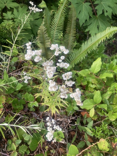
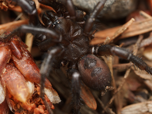
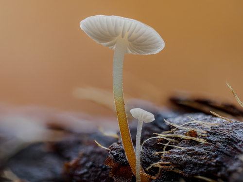
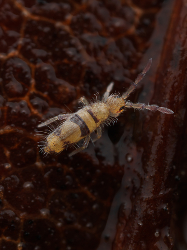
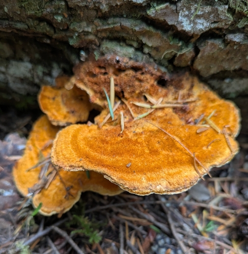
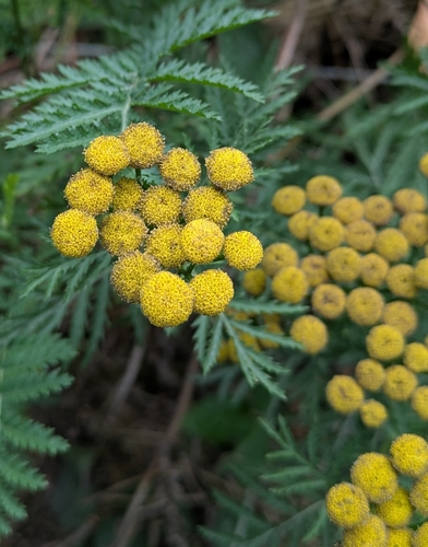
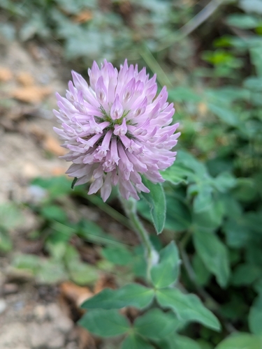
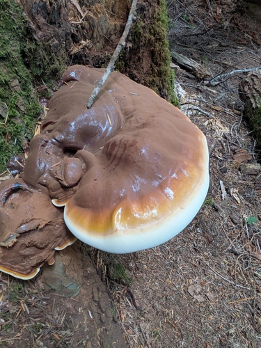
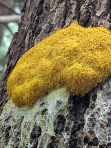
Research-grade observations from iNaturalist (within ~15 mi).
Nearest stream gauge
Events
Gallery
Sources
- • Wikipedia
- • NOAA National Weather Service
- • Wikidata
- • USGS Earthquake Catalog (global feed)
- • GBIF (Global Biodiversity Information Facility)
- • iNaturalist
- • CDC PLACES
- • NASA EONET