Browse / United States / Washington / SeaTac
SeaTac
Washingtoncity

SeaTac
Total population
32,414
Median home value
$519,700
Bachelor's+
Median income
$81,104
Founded
1990
Demographic figures from US Census Bureau · ACS 5-year estimates. Overview below cites Wikipedia and may reference a different year.
City facts
Facts from Wikidata (CC0).
Overview
SeaTac is a city in southern King County, Washington, United States. The city is an inner-ring suburb of Seattle and part of the Seattle metropolitan area. The name "SeaTac" is derived from Seattle–Tacoma International Airport's nickname "SeaTac," itself a portmanteau of Seattle and Tacoma.
Read more on WikipediaHistory & geography
History
The earliest people to live in the Highline ridge and surrounding lowlands were Coast Salish peoples for thousands of years before European contact. The area sits between Puget Sound to the west and the Duwamish and Green River valleys to the east. It was used by Duwamish and Muckleshoot peoples for fishing, hunting, and overland travel. In the 1850s, federal surveyors recorded salal and huckleberry across the area, believed to be evidence of deliberate land management through intentional burning and cultivation, rather than pure wilderness. In 1990, a diver discovered two dugout canoes from the bottom of Angle Lake that were carbon-dated to approximately 1678. Both the Muckleshoot and Duwamish tribes claimed the artifacts, which were eventually transferred to the Muckleshoot Tribe for stewardship. The Highline area, which includes modern-day SeaTac, Burien, most of Des Moines, and unincorporated communities such as White Center and Boulevard Park, was settled by European Americans in the mid-1850s. Over the following decades, small farming communities developed around Miller Creek and other drainages on the plateau. One of the more prominent roads of travel from Seattle to Tacoma early in the 20th century is Des Moines Memorial Drive (originally called the High Line road), which passes directly through the middle of the region, particularly through SeaTac and Burien. The construction of Seattle–Tacoma International Airport transformed the area. After the U.S. military took control of Boeing Field following the attack on Pearl Harbor, the Port of Seattle accepted a federal grant in March 1942 to build a replacement civilian airport as part of a larger wartime pattern of federal intervention in municipal airport development across the country. The airport was…
Geography
According to the United States Census Bureau, the city has a total area of , of which, is land and is water.
Excerpted from the corresponding Wikipedia article (CC BY-SA).
Demographics & economy
Race & ethnicity
Source: US Census Bureau — American Community Survey, 5-year estimates.
Geography
Coordinates & boundaries from the US Census TIGER/Line shapefiles.
Climate
Current forecast
Forecast for SeaTac, WA from NOAA NWS API.
Air quality
Industrial & pollution facilities
Natural hazard risk
Health (adults)
Age-adjusted prevalence estimates from CDC PLACES (latest release).
Walkability
Amenities nearby
Wildlife & biodiversity
Schools
Largest nearby schools
- Kent-Meridian High SchoolHigh · Kent · 2,128 students · 21.1:1 ratio
- Kentridge High SchoolHigh · Kent · 2,034 students · 23.1:1 ratio
- Mount Rainier High SchoolHigh · Des Moines · 1,873 students · 24.3:1 ratio
- Hazen Senior High SchoolHigh · Renton · 1,871 students · 24:1 ratio
- Auburn Senior High SchoolHigh · AUBURN · 1,844 students · 19.4:1 ratio
- Thomas Jefferson High SchoolHigh · AUBURN · 1,797 students · 23.6:1 ratio
- Kentwood High SchoolHigh · Covington · 1,733 students · 21.9:1 ratio
- Federal Way High SchoolHigh · FEDERAL WAY · 1,640 students · 21:1 ratio
Public K–12 schools within ~10 mi from Urban Institute Education Data Portal (NCES Common Core of Data, 2022).
Earthquake history
Photos
Sights & places nearby
Notable people from here


People born within ~10 km, from Wikidata (CC0). Click any name for their Wikipedia article.
Nearby places in Washington
- Newcastle8.7 mi away · pop. 12,989
- Maple Heights-Lake Desire9.6 mi away
- Beaux Arts Village10.8 mi away
- Browns Point11.6 mi away · pop. 979
- Lake Holm12.3 mi away · pop. 3,555
- Pacific12.7 mi away · pop. 7,066
- Fife Heights12.8 mi away
- Medina12.9 mi away · pop. 2,928
- Clyde Hill13.4 mi away · pop. 3,119
- Mirrormont14.4 mi away
- Edgewood14.6 mi away · pop. 13,032
- Purdy14.7 mi away
Geography & sun
Elevation, sunrise/sunset and daylight from Open-Meteo. Solar climatology from NASA POWER.
Nearby airports
Public attention
Pageview totals from the Wikimedia Pageviews API.
Books about SeaTac
Search results from Open Library.
Recent natural events nearby
- Wildfire KING, Kittitas, WashingtonWildfires · 2026-08-19 · 49 mi
- Wildfire GOAT, Kittitas, WashingtonWildfires · 2026-08-22 · 58 mi
- Wildfire SISI, Chelan, WashingtonWildfires · 2026-08-14 · 92 mi
- Wildfire Electric, Whatcom, WashingtonWildfires · 2026-08-22 · 93 mi
- Wildfire Thunder Creek, Skagit, WashingtonWildfires · 2026-08-22 · 96 mi
- Wildfire Colwash, Yakima, WashingtonWildfires · 2026-08-22 · 133 mi
- Wildfire SECOND STREET, Benton, WashingtonWildfires · 2026-09-25 · 157 mi
- Wildfire Austin Non-Stat, Clackamas, OregonWildfires · 2026-08-12 · 168 mi
Wildfires, storms and other events from NASA EONET (last 12 months, within 250 mi).
Ground air-quality sensors
Recently spotted species
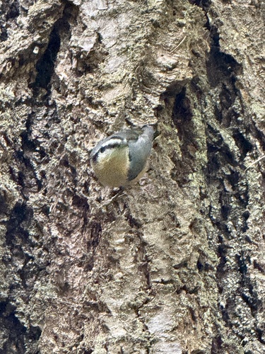
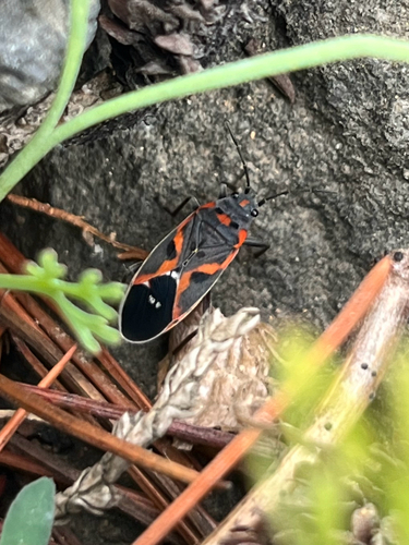
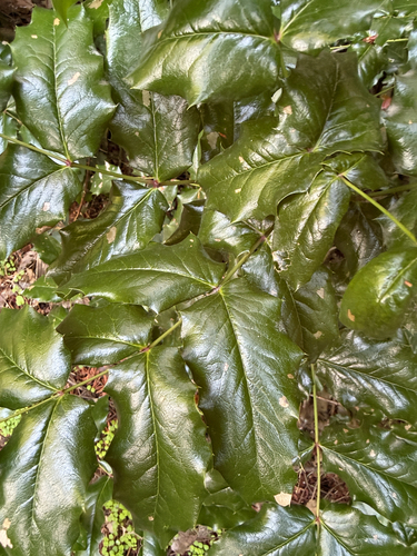
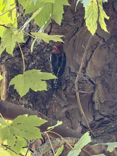
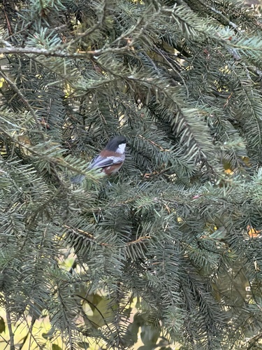
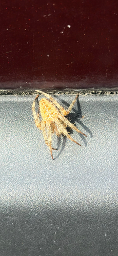
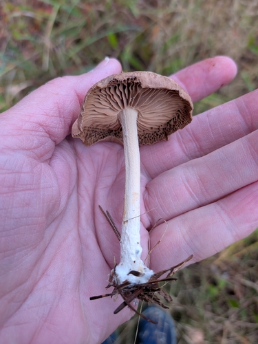
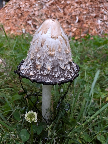
Research-grade observations from iNaturalist (within ~15 mi).
Nearest stream gauge
Live readings from USGS NWIS · measured 2026-10-01 16:15 UTC.
Events
Gallery
Sources
- • Wikipedia
- • US Census Bureau (ACS 5-year estimates)
- • NOAA National Weather Service
- • Wikidata
- • USGS NWIS (water data)
- • NCES via Urban Institute Education Data Portal
- • iNaturalist
- • CDC PLACES
- • Open-Meteo / sunrise-sunset.org
- • Wikipedia Pageviews API
- • Open Library
- • NASA EONET