Browse / United States / Washington / Snohomish
Snohomish
Washingtoncity

Snohomish
Total population
10,239
Median home value
$683,900
Bachelor's+
Median income
$87,250
Founded
1859
Demographic figures from US Census Bureau · ACS 5-year estimates. Overview below cites Wikipedia and may reference a different year.
City facts
Facts from Wikidata (CC0).
Overview
Snohomish is a city in Snohomish County, Washington, United States. The population was 10,126 at the 2020 census. It is located on the Snohomish River, southeast of Everett and northwest of Monroe. Snohomish lies at the intersection of U.S. Route 2 and State Route 9. The city's airport, Harvey Airfield, is located south of downtown and used primarily for general aviation.
Read more on WikipediaHistory & geography
History
The Snohomish River Valley was originally inhabited by the Snohomish people, a Coast Salish tribe who lived between Port Gardner Bay and modern-day Monroe. An archaeological site near the confluence of the Snohomish and Pilchuck Rivers has indications of human habitation that began as early as 8,000 years before present. A village, sbadaʔɬ, was at the site of the modern-day city that now bears the tribe's name. The Snohomish had contact with white explorers in the early 19th century, with their name recorded as "Sinnahamis" by John Work of the Hudson's Bay Company, among the first to also use the name to describe the river. The Snohomish were signatories of the Point Elliott Treaty in 1855, which relocated the tribe to the Tulalip Indian Reservation. The road, proposed in the wake of the Pig War, was intended to be built far enough inland to be safe from British naval attacks. The confluence of the Snohomish and Pilchuck rivers, located near Kwehtlamanish, was sought by several American settlers from Steilacoom who arrived in 1859 to file homestead claims. Edson F. Cady and Heil Barnes, representing carpenter Emory C. Ferguson, settled near the proposed ferry landing, while Egbert H. Tucker filed a claim for a plot on the other side of the Snohomish River. The settlement was originally known as "Cadyville" and changed its name to Snohomish City in 1871. The name Snohomish comes from the name of the dominant local Native American tribe "sdoh-doh-hohbsh" (), whose meaning is widely disputed. Although the military road was never completed, Snohomish quickly became a center of commerce in the expanding region. In 1861, Snohomish County separated from Island County and the Village of Snohomish was voted the county seat. The first school in the settlement was organized in…
Geography
Snohomish is located along the north bank of the Snohomish River near where it is joined by the Pilchuck River. The city lies on the Getchell Hill Plateau, a low hill in the Snohomish River Valley that interrupts the wide, flat river valley. The river valley was formed approximately 14,000 years before present by the outflow of a glacial lake during the Vashon Glaciation event. According to the United States Census Bureau, the city has a total area of , of which, is land and is water. Snohomish's city limits are generally defined by the Snohomish River to the south, Fobes Hill to the west, several city streets to the north, and the Pilchuck River to the east. The city also has an urban growth area that extends north towards U.S. Route 2 and south of the Snohomish River to include Harvey Airfield. The historic business and residential center of the town constitutes the Snohomish Historic District, which is listed on the National Register of Historic Places. Many houses bear plaques with the year the house was built and the name of the people who originally occupied it. Each year the city gives tours of the historic houses; one of them, the Blackman House, is a year-round museum.
Excerpted from the corresponding Wikipedia article (CC BY-SA).
Demographics & economy
Race & ethnicity
Source: US Census Bureau — American Community Survey, 5-year estimates.
Geography
Coordinates & boundaries from the US Census TIGER/Line shapefiles.
Climate
Current forecast
Forecast for Snohomish, WA from NOAA NWS API.
Air quality
Industrial & pollution facilities
Natural hazard risk
Health (adults)
Walkability
Amenities nearby
Wildlife & biodiversity
Most-observed species
- American CrowCorvus brachyrhynchos C.L.Brehm, 1822 · Aves37,725
- Song SparrowMelospiza melodia (A.Wilson, 1810) · Aves29,784
- Dark-eyed JuncoJunco hyemalis (Linnaeus, 1758) · Aves28,783
- Black-capped ChickadeePoecile atricapillus (Linnaeus, 1766) · Aves27,529
- American RobinTurdus migratorius Linnaeus, 1766 · Aves27,189
- Spotted TowheePipilo maculatus Swainson, 1827 · Aves23,415
- Northern FlickerColaptes auratus (Linnaeus, 1758) · Aves20,640
- MallardAnas platyrhynchos Linnaeus, 1758 · Aves20,460
Citizen-science & research observations from the Global Biodiversity Information Facility (GBIF).
Schools
Earthquake history
Most recent
- M 2.56 — 2026-09-122 km E of Mount Vernon, Washington
- M 2.51 — 2026-08-0911 km SSW of River Road, Washington
- M 3.8 — 2026-07-022 km E of Oak Harbor, Washington
- M 2.5 — 2026-06-2611 km E of Carnation, Washington
- M 2.87 — 2026-06-082 km ESE of Oak Harbor, Washington
- M 2.84 — 2026-05-274 km W of Wauna, Washington
Events from the USGS Earthquake Catalog (global) (FDSN Event Web Service).
Photos
Sights & places nearby
Notable people from here


People born within ~10 km, from Wikidata (CC0). Click any name for their Wikipedia article.
Geography & sun
Elevation, sunrise/sunset and daylight from Open-Meteo. Solar climatology from NASA POWER.
Nearby airports
Public attention
Pageview totals from the Wikimedia Pageviews API.
Books about Snohomish

Search results from Open Library.
Recent natural events nearby
- Wildfire KING, Kittitas, WashingtonWildfires · 2026-08-19 · 50 mi
- Wildfire Electric, Whatcom, WashingtonWildfires · 2026-08-22 · 58 mi
- Wildfire GOAT, Kittitas, WashingtonWildfires · 2026-08-22 · 58 mi
- Wildfire Thunder Creek, Skagit, WashingtonWildfires · 2026-08-22 · 65 mi
- Wildfire SISI, Chelan, WashingtonWildfires · 2026-08-14 · 65 mi
- Wildfire PEARL HILL, Douglas, WashingtonWildfires · 2026-07-25 · 115 mi
- Wildfire SINLAHEKIN, Okanogan, WashingtonWildfires · 2026-07-26 · 123 mi
- Wildfire RANSIER, Yakima, WashingtonWildfires · 2026-07-26 · 125 mi
Wildfires, storms and other events from NASA EONET (last 12 months, within 250 mi).
Ground air-quality sensors
Recently spotted species
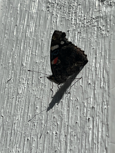
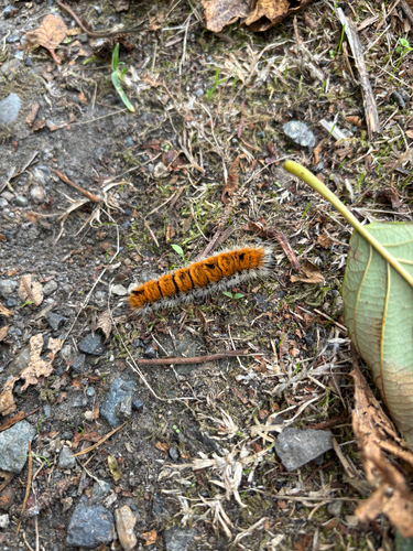
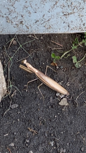
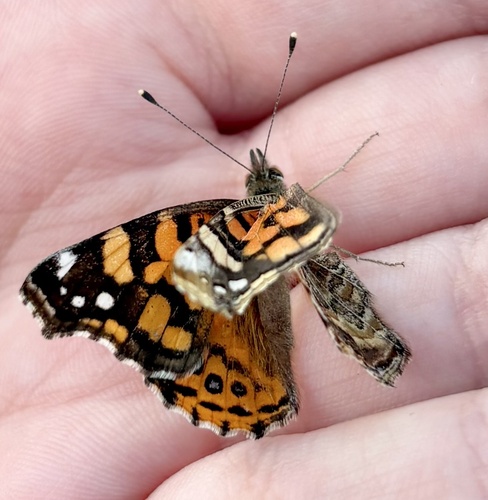
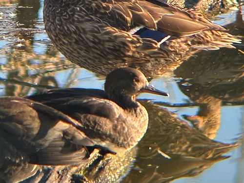
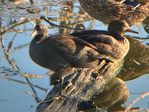
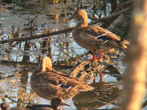
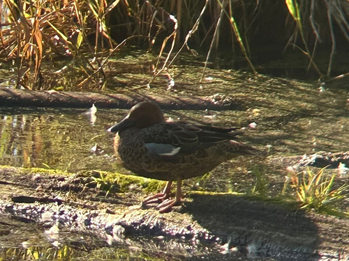
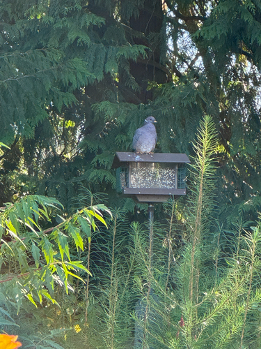
Research-grade observations from iNaturalist (within ~15 mi).
Nearest stream gauge
Events
Gallery
Sources
- • Wikipedia
- • US Census Bureau (ACS 5-year estimates)
- • NOAA National Weather Service
- • Wikidata
- • USGS Earthquake Catalog (global feed)
- • GBIF (Global Biodiversity Information Facility)
- • iNaturalist
- • Open-Meteo / sunrise-sunset.org
- • Wikipedia Pageviews API
- • Open Library
- • NASA EONET