Browse / United States / Washington / Spokane
Spokane
Washingtoncity

Spokane
Total population
230,604
Median home value
$379,300
Bachelor's+
Median income
$78,583
Founded
1871
Air quality index
Demographic figures from US Census Bureau · ACS 5-year estimates. Overview below cites Wikipedia and may reference a different year.
City facts
Sister cities
Facts from Wikidata (CC0).
Overview
Spokane is a city in and the county seat of Spokane County in the U.S. state of Washington. It lies along the Spokane River, adjacent to the Selkirk Mountains and west of the Rocky Mountain foothills, 110 miles (180 km) south of the Canadian border, twenty miles (30 km) west of the Idaho state line, 279 miles (449 km) southwest of Calgary, and 280 miles (450 km) east of Seattle, via I-90.
Read more on WikipediaHistory & geography
History
The first humans to live in the Spokane area were hunter-gatherers that lived off plentiful fish and game; early human remains have been dated to 8,000 to 13,000 years ago. The Spokane tribe, after which the city is named (the name meaning "children of the sun" or "sun people" in Salishan), are believed to be either their direct descendants, or descendants of people from the Great Plains. When asked by early white explorers, the Spokanes said their ancestors came from "up North." These were the first white men met by the Spokanes, who believed they were sacred, and set the trappers up in the Colville River valley for the winter. The explorer-geographer David Thompson, working as head of the North West Company's Columbia Department, became the first European to explore the Inland Empire (now called the Inland Northwest). Crossing what is now the Canada–US border from British Columbia, Thompson wanted to expand the North West Company further south in search of furs. After establishing the Kullyspell House and Saleesh House trading posts in what are now Idaho and Montana, Thompson then attempted to expand further west. He sent out two trappers, Jacques Raphael Finlay and Finan McDonald, to construct a fur trading post on the Spokane River, which flows west from Lake Coeur d'Alene to the Columbia River, and trade with the local Indians. This post was established in 1810, at the confluence of the Little Spokane and Spokane rivers, becoming the first enduring European settlement of significance in what later became Washington state. In 1836, Reverend Samuel Parker visited the area and reported that around 800 Native Americans were living in Spokane Falls. A medical mission was established by Marcus and Narcissa Whitman to cater for Cayuse Indians and hikers of the Oregon…
Geography
Spokane is located on the Spokane River in eastern Washington at an elevation of above sea level, about west of the Idaho border, south of the Canadian border, due east of Seattle, and southwest of Calgary, Alberta, Canada. The lowest elevation in the city of Spokane is the northernmost point of the Spokane River within city limits (in Riverside State Park) at ; the highest elevation is on the northeast side, near the community of Hillyard (though closer to Beacon Hill and the North Hill Reservoir) at . Spokane is part of the Inland Northwest region, consisting of eastern Washington, north Idaho, northwestern Montana, and northeastern Oregon. The city has a total area of , of which is land and is water. Spokane lies mostly within the Spokane Valley Outwash Plains at the periphery of the North Central Rockies forests ecoregion and partly within the eastern edge of the basaltic Channeled Scablands steppe of the Columbia Plateau ecoregion, a plain that eventually rises sharply to the east towards the rugged, timbered Selkirk Mountains. The highest peak in Spokane County is Mount Spokane, at an elevation of , on the eastern side of the Selkirk Mountains. The Spokane River is the area's most prominent water feature, a tributary of the Columbia River, originating from Lake Coeur d'Alene in northern Idaho. The river flows west across the Washington state line through downtown Spokane, meeting Latah Creek, then turns to the northwest, where it is joined by the Little Spokane River on its way to the Columbia River, north of Davenport. The Turnbull National Wildlife Refuge south of Cheney is the closest natural reserve, the closest National Forest is the Colville National Forest, the closest National Recreation Area is the Lake Roosevelt National Recreation Area and the…
Excerpted from the corresponding Wikipedia article (CC BY-SA).
Demographics & economy
Race & ethnicity
Source: US Census Bureau — American Community Survey, 5-year estimates.
Geography
Coordinates & boundaries from the US Census TIGER/Line shapefiles.
Climate
Current forecast
Forecast for Spokane, WA from NOAA NWS API.
Air quality
Current readings from Open-Meteo Air Quality API (Copernicus CAMS European reanalysis).
Industrial & pollution facilities
Natural hazard risk
Health (adults)
Age-adjusted prevalence estimates from CDC PLACES (latest release).
Walkability
Amenities nearby
Wildlife & biodiversity
Most-observed species
- American RobinTurdus migratorius Linnaeus, 1766 · Aves9,031
- Song SparrowMelospiza melodia (A.Wilson, 1810) · Aves8,960
- House FinchHaemorhous mexicanus (P.L.Statius Müller, 1776) · Aves8,666
- Black-capped ChickadeePoecile atricapillus (Linnaeus, 1766) · Aves8,049
- Northern FlickerColaptes auratus (Linnaeus, 1758) · Aves7,095
- MallardAnas platyrhynchos Linnaeus, 1758 · Aves6,210
- Canada Goose (canadensis Group)Branta canadensis (Linnaeus, 1758) · Aves6,085
- Pygmy NuthatchSitta pygmaea Vigors, 1839 · Aves5,953
Citizen-science & research observations from the Global Biodiversity Information Facility (GBIF).
Schools
Largest nearby schools
- Mead Senior High SchoolHigh · SPOKANE · 1,809 students · 20.1:1 ratio
- Lewis & Clark High SchoolHigh · Spokane · 1,739 students · 18.5:1 ratio
- North Central High SchoolHigh · Spokane · 1,674 students · 18.4:1 ratio
- Ferris High SchoolHigh · Spokane · 1,631 students · 17.7:1 ratio
- Rogers High SchoolHigh · Spokane · 1,536 students · 15.5:1 ratio
- Mt Spokane High SchoolHigh · MEAD · 1,493 students · 21.3:1 ratio
- University High SchoolHigh · Spokane Valley · 1,445 students · 18.1:1 ratio
- Shadle Park High SchoolHigh · Spokane · 1,382 students · 17.7:1 ratio
Public K–12 schools within ~10 mi from Urban Institute Education Data Portal (NCES Common Core of Data, 2022).
Earthquake history
Most recent
- M 2.5 — 2025-02-1310 km SSW of East Hope, Idaho
- M 2.73 — 2023-09-12Washington
- M 2.93 — 2022-10-138 km NNE of Airway Heights, Washington
- M 2.81 — 2020-05-153 km NNE of Green Bluff, Washington
- M 2.51 — 2020-03-3112 km NE of Sprague, Washington
- M 2.5 — 2015-11-308 km N of Onaway, Idaho
Events from the USGS Earthquake Catalog (global) (FDSN Event Web Service).
Photos
Sights & places nearby
Notable people from here


People born within ~10 km, from Wikidata (CC0). Click any name for their Wikipedia article.
Nearby places in Washington
- Country Homes5.6 mi away · pop. 6,198
- Fairchild AFB10.6 mi away
- Suncrest13.7 mi away · pop. 5,345
- Cheney14 mi away · pop. 12,804
- Liberty Lake15.3 mi away · pop. 12,737
- Deer Park20.5 mi away · pop. 4,791
- Reardan20.7 mi away · pop. 726
- Rosalia29.9 mi away · pop. 513
- Malden30.3 mi away
- Davenport33.4 mi away · pop. 1,774
- Newport39.4 mi away
- Chewelah44.5 mi away · pop. 2,606
Geography & sun
Elevation, sunrise/sunset and daylight from Open-Meteo. Solar climatology from NASA POWER.
Nearby airports
Public attention
Pageview totals from the Wikimedia Pageviews API.
Books about Spokane


Search results from Open Library.
Recent natural events nearby
- SNAKE RIVER Wildfire, Whitman, WashingtonWildfires · 2026-06-13 · 86 mi
- Kartar Wildfire, Okanogan, WashingtonWildfires · 2026-06-16 · 99 mi
- Omak Lake Road Wildfire, Okanogan, WashingtonWildfires · 2026-06-16 · 101 mi
- JUNIPER DUNES Wildfire, Franklin, WashingtonWildfires · 2026-06-14 · 114 mi
- CHESTNUT Wildfire, Chelan, WashingtonWildfires · 2026-06-06 · 120 mi
- TWIN SISTERS Wildfire, Walla Walla, WashingtonWildfires · 2026-06-14 · 131 mi
- COUNTRY MEADOW Wildfire, Benton, WashingtonWildfires · 2026-05-23 · 137 mi
- Old Emigrant Wildfire, Umatilla, OregonWildfires · 2026-06-16 · 152 mi
Wildfires, storms and other events from NASA EONET (last 12 months, within 250 mi).
Ground air-quality sensors
Recently spotted species
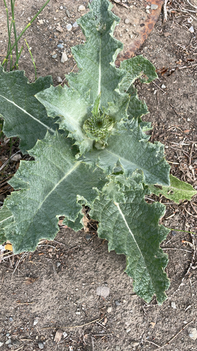
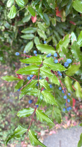
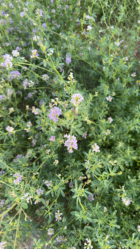
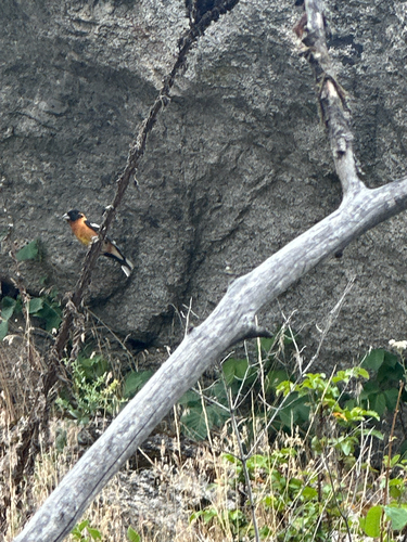
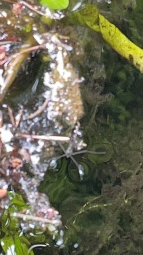
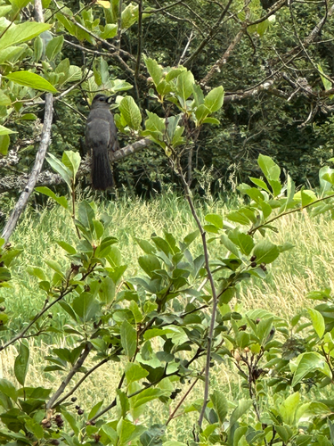
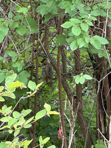
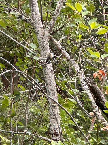
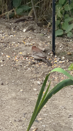
Research-grade observations from iNaturalist (within ~15 mi).
Nearest stream gauge
Events
Notable, recurring, and historical events associated with Spokane, sourced from Wikidata.
- Jul 2, 1999
- SpoConrecurring event
Source: Wikidata (CC0).
Gallery
Geotagged photos within ~6 miles of Spokane, from Wikimedia Commons contributors.
 0.3 mi
 0.3 mi
 0.3 mi
 0.3 mi
 0.3 mi
 0.3 mi
.jpg) 0.3 mi
0.3 mi.jpg) 0.3 mi
0.3 mi 0.3 mi
.jpg) 0.4 mi
0.4 mi.jpg) 0.4 mi
0.4 mi 0.4 mi
 0.4 mi
.jpg) 0.4 mi
0.4 mi 0.5 mi
 0.5 mi
 0.5 mi
 0.5 mi
 0.5 mi
 0.5 mi
.jpg) 0.5 mi
0.5 mi.jpg) 0.5 mi
0.5 mi 0.5 mi
.jpg) 0.5 mi
0.5 miPhotos via Wikimedia Commons — see each image page for license & attribution.
Sources
- • Wikipedia
- • US Census Bureau (ACS 5-year estimates)
- • NOAA National Weather Service
- • Wikimedia Commons
- • Wikidata
- • Open-Meteo Air Quality (CAMS)
- • USGS Earthquake Catalog (global feed)
- • NCES via Urban Institute Education Data Portal
- • GBIF (Global Biodiversity Information Facility)
- • iNaturalist
- • CDC PLACES
- • Open-Meteo / sunrise-sunset.org
- • Wikipedia Pageviews API
- • Open Library
- • NASA EONET