Browse / United States / Washington / Sumas
Sumas
Washingtoncity

Sumas
Total population
1,512
Median home value
$441,500
Bachelor's+
Median income
$89,375
Demographic figures from US Census Bureau · ACS 5-year estimates. Overview below cites Wikipedia and may reference a different year.
City facts
Facts from Wikidata (CC0).
Overview
Sumas is a city in Whatcom County, Washington, United States. It had a population of 1,583 as of the 2020 census. Sumas is located adjacent to the Canada–U.S. border and borders the city of Abbotsford, British Columbia. The Sumas–Huntingdon port of entry at the north end of State Route 9 operates 24 hours a day. Sumas shares Nooksack Valley School District with the cities of Nooksack and Everson. It is the northernmost settlement on Washington State Route 9.
Read more on WikipediaHistory & geography
History
The area was home to the Nooksack Indians in the millennia prior to the arrival of the first permanent settler Robert Johnson in 1872. It was called "Sumas" meaning "land without trees" It is derived from a Cowichan tribe who also resided in the region. A post office with that name has been in operation since 1897. The town was a railroad hub and briefly supported the Mount Baker Gold Rush, Although not the largest flood to have occurred prior to 1990, the November 10 flood received notoriety as it caused millions of dollars in damage. Sumas was one of the cities hit by the 2025 Pacific Northwest floods. Residents were told to evacuate on Wednesday, December 10.
Geography
According to the United States Census Bureau, the city has a total area of , all of it land. Because of the limits of technology when the border with Canada was surveyed, the border west of the Cascade Range lies above the 49th parallel; the most extreme offset (three city blocks) is at Sumas, which is thus the northernmost incorporated place in the contiguous United States.
Excerpted from the corresponding Wikipedia article (CC BY-SA).
Demographics & economy
Race & ethnicity
Source: US Census Bureau — American Community Survey, 5-year estimates.
Geography
Coordinates & boundaries from the US Census TIGER/Line shapefiles.
Climate
Current forecast
Forecast for Sumas, WA from NOAA NWS API.
Air quality
Industrial & pollution facilities
Natural hazard risk
Health (adults)
Walkability
Amenities nearby
Wildlife & biodiversity
Schools
Earthquake history
Photos
Sights & places nearby
Notable people from here


People born within ~10 km, from Wikidata (CC0). Click any name for their Wikipedia article.
Nearby places in Washington
Geography & sun
Nearby airports
Public attention
Books about this place
Recent natural events nearby
- Wildfire Electric, Whatcom, WashingtonWildfires · 2026-08-22 · 45 mi
- Wildfire Thunder Creek, Skagit, WashingtonWildfires · 2026-08-22 · 64 mi
- Wildfire SISI, Chelan, WashingtonWildfires · 2026-08-14 · 79 mi
- Wildfire KING, Kittitas, WashingtonWildfires · 2026-08-19 · 115 mi
- Wildfire SINLAHEKIN, Okanogan, WashingtonWildfires · 2026-07-26 · 119 mi
- Wildfire GOAT, Kittitas, WashingtonWildfires · 2026-08-22 · 120 mi
- Wildfire PEARL HILL, Douglas, WashingtonWildfires · 2026-07-25 · 140 mi
- Wildfire MITRE ROCK, Stevens, WashingtonWildfires · 2026-08-01 · 195 mi
Wildfires, storms and other events from NASA EONET (last 12 months, within 250 mi).
Ground air-quality sensors
Recently spotted species
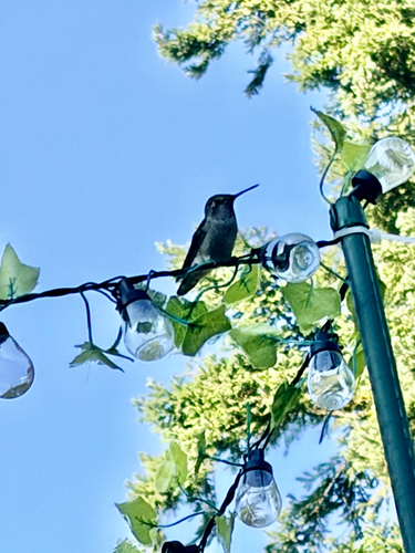
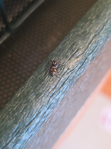
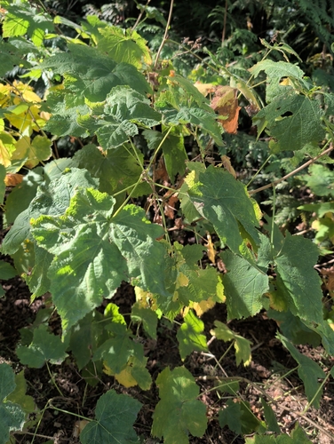
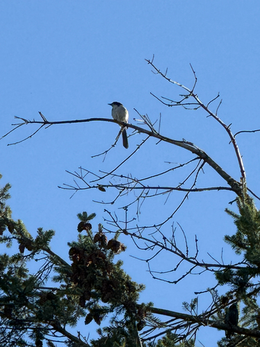
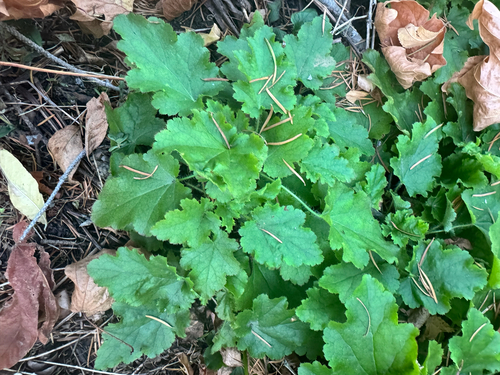
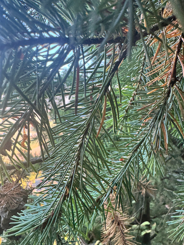
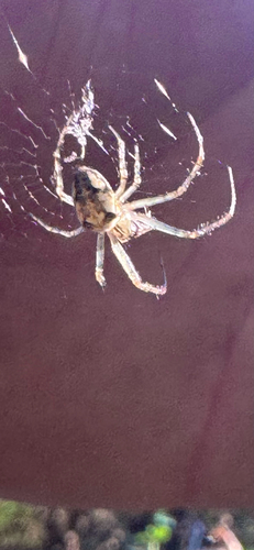
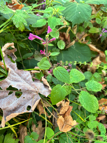
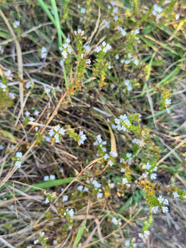
Research-grade observations from iNaturalist (within ~15 mi).
Nearest stream gauge
Live readings from USGS NWIS.
Events
Gallery
Sources
- • Wikipedia
- • US Census Bureau (ACS 5-year estimates)
- • NOAA National Weather Service
- • Wikidata
- • USGS NWIS (water data)
- • iNaturalist
- • NASA EONET