Browse / United States / Washington / Suncrest
Suncrest
WashingtonCDP

Suncrest
Total population
5,345
Median home value
$522,500
Bachelor's+
Median income
$100,952
Demographic figures from US Census Bureau · ACS 5-year estimates. Overview below cites Wikipedia and may reference a different year.
City facts
Overview
Suncrest is a census-designated place (CDP) in Stevens County, Washington, United States. Though it is not incorporated as a city or town, the CDP's population of 5,413 at the 2020 census makes Suncrest the largest community in the county. The community is located along the Spokane River 9.7 miles northwest of the city of Spokane, of which it is a exurb and bedroom community. The community experienced substantial growth starting in the mid-1980s, with gated community and suburban style development. State Route 291 is the main thoroughfare through Suncrest, as well as its main connection to the surrounding area including Spokane.
Read more on WikipediaHistory & geography
History
The Spokane people inhabited the area for thousands of years prior to European settlement. The river supported salmon runs that provided bountiful food for the area's inhabitants, though the runs were killed off when Long Lake Dam was built in 1915 without a fish ladder. White settlers have had a permanent presence in the area since the early 1800s. In 1810, the North West Company established Spokane House at the confluence of the Spokane and Little Spokane River, just over a mile upstream from present day Suncrest. It was the first permanent white settlement in what would become the state of Washington. Development boomed starting in the 1980s, with more than 1,000 homes constructed over the ten years leading up to 1996. By that time, Suncrest's population had surpassed 5,000 residents, making the community larger than Colville, the county seat. This rapid growth put a strain on both Suncrest and nearby Spokane's transportation infrastructure, namely SR-291. With limited services and employment opportunities, residents of Suncrest had little choice but to commute into Spokane for work and much of their shopping needs. Suncrest's location in Stevens County and dependence on Spokane County complicated attempts to improve the situation. “Their lifestyle in Suncrest is subsidized by the residents of Spokane," Spokane Planning Director Charlie Dotson told The Spokesman-Review in 1996. By that time, the Suncrest community had become effectively a bedroom community of Spokane.
Geography
Suncrest is located in the extreme southeast corner of Stevens County. The Spokane River to the immediate south of Suncrest marks the border between Stevens and Spokane Counties to the south, and the county line between the two runs north–south less than a mile to the east of Suncrest. The closest community is Nine Mile Falls, approximately 2.5 miles as the crow flies and 4.5 miles by road along State Route 291 to the southeast. The Spokane city limits are approximately 9.7 miles by road southeast of Suncrest along SR-291. 9.7 miles northwest of Spokane and about 5 miles northwest of central Nine Mile Falls, the next nearest population center. The main road through Suncrest is State Highway 291.
Excerpted from the corresponding Wikipedia article (CC BY-SA).
Demographics & economy
Race & ethnicity
Source: US Census Bureau — American Community Survey, 5-year estimates.
Geography
Coordinates & boundaries from the US Census TIGER/Line shapefiles.
Climate
Air quality
Industrial & pollution facilities
Natural hazard risk
Health (adults)
Walkability
Amenities nearby
Wildlife & biodiversity
Most-observed species
- Song SparrowMelospiza melodia (A.Wilson, 1810) · Aves3,680
- Black-capped ChickadeePoecile atricapillus (Linnaeus, 1766) · Aves3,594
- American RobinTurdus migratorius Linnaeus, 1766 · Aves3,483
- Northern FlickerColaptes auratus (Linnaeus, 1758) · Aves3,054
- House FinchHaemorhous mexicanus (P.L.Statius Müller, 1776) · Aves2,894
- Red-breasted NuthatchSitta canadensis Linnaeus, 1766 · Aves2,719
- Pygmy NuthatchSitta pygmaea Vigors, 1839 · Aves2,528
- Canada Goose (canadensis Group)Branta canadensis (Linnaeus, 1758) · Aves2,498
Citizen-science & research observations from the Global Biodiversity Information Facility (GBIF).
Schools
Earthquake history
Most recent
- M 2.73 — 2023-09-12Washington
- M 2.93 — 2022-10-138 km NNE of Airway Heights, Washington
- M 2.81 — 2020-05-153 km NNE of Green Bluff, Washington
- M 2.51 — 2020-03-3112 km NE of Sprague, Washington
- M 3.9 — 2015-04-248 km WSW of Hope, Idaho
- M 3.7 — 2015-04-2412 km SSW of East Hope, Idaho
Events from the USGS Earthquake Catalog (global) (FDSN Event Web Service).
Photos
Sights & places nearby
Notable people from here
Nearby places in Washington
Geography & sun
Elevation, sunrise/sunset and daylight from Open-Meteo. Solar climatology from NASA POWER.
Nearby airports
Public attention
Pageview totals from the Wikimedia Pageviews API.
Books about this place
Recent natural events nearby
- Wildfire AUTUMN LANE, Spokane, WashingtonWildfires · 2026-08-01 · 2 mi
- Wildfire OLD TRAILS, Spokane, WashingtonWildfires · 2026-08-01 · 11 mi
- Wildfire FAIRVIEW, Spokane, WashingtonWildfires · 2026-08-01 · 13 mi
- Wildfire HUDSPETH, Stevens, WashingtonWildfires · 2026-08-01 · 31 mi
- Wildfire MITRE ROCK, Stevens, WashingtonWildfires · 2026-08-01 · 34 mi
- Wildfire WELLS ROAD, Whitman, WashingtonWildfires · 2026-08-08 · 41 mi
- Wildfire BRADEEN HILL, Stevens, WashingtonWildfires · 2026-07-25 · 41 mi
- Wildfire PALOUSE RIVER, Whitman, WashingtonWildfires · 2026-08-08 · 68 mi
Wildfires, storms and other events from NASA EONET (last 12 months, within 250 mi).
Ground air-quality sensors
Recently spotted species
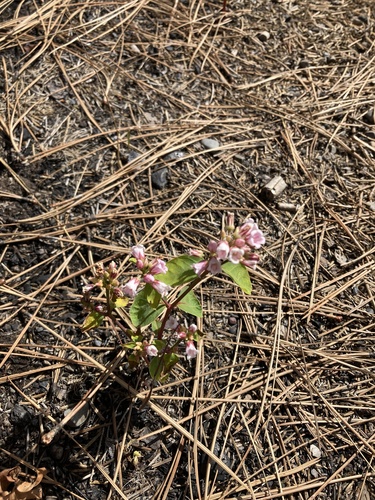
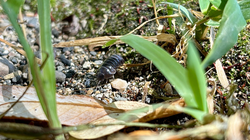
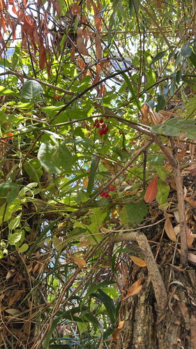
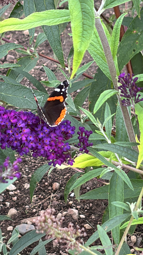
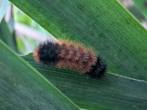
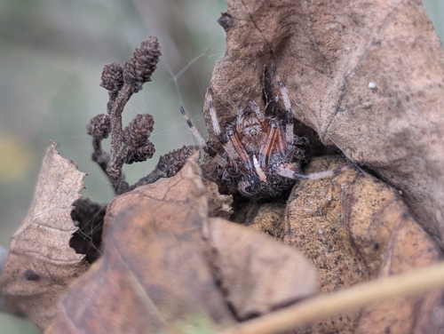
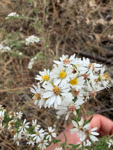
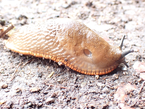
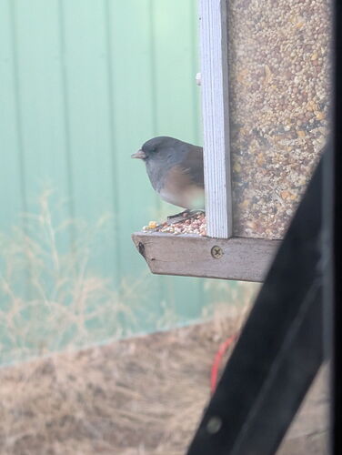
Research-grade observations from iNaturalist (within ~15 mi).
Nearest stream gauge
Events
Gallery
Sources
- • Wikipedia
- • US Census Bureau (ACS 5-year estimates)
- • USGS Earthquake Catalog (global feed)
- • GBIF (Global Biodiversity Information Facility)
- • iNaturalist
- • Open-Meteo / sunrise-sunset.org
- • Wikipedia Pageviews API
- • NASA EONET