Browse / United States / Washington / Washtucna
Washtucna
Washingtontown

Washtucna
Total population
292
Median home value
$170,800
Bachelor's+
Median income
$79,375
Demographic figures from US Census Bureau · ACS 5-year estimates. Overview below cites Wikipedia and may reference a different year.
City facts
Facts from Wikidata (CC0).
Overview
Washtucna is a town in Adams County, Washington, United States. The population was 211 at the 2020 census, a 1% increase over the previous census. The town was named for a lake 12 miles from the town in Franklin County which was in turn named after a Palouse Native American chief.
Read more on WikipediaHistory & geography
History
George Bassett, an Iowan settler homesteaded the future site of Washtucna in 1878 The first rail line into the area was completed by the Oregon Improvement Company in 1886, and shipped 30,000 bushels of wheat in its first five years. Several attempts at large-scale irrigation projects were attempted between 1892 and 1917, but all failed. Dry land wheat farming has persisted since that time. Washtucna was officially incorporated on October 27, 1903, with Charles T. Booth as the first mayor. During the early 2000s recession, Washtucna faced a potential budget shortfall due to reduced state subsidies and poor wheat sales.
Geography
Washtucna sits at the head of Washtucna Coulee, a thin but deep valley that runs west to Connell, Washington where it merges with Providence Coulee to form Esquatzel Coulee. Being located on the floor of the coulee, Washtucna is at relatively lower elevation than the terrain that surrounds it. The floor of the coulee at Washtucna is roughly 1,027 feet above sea level, but the steep walls of the coulee quickly rise to 1,600 feet above sea level in places within a mile of the city center. Washtucna is located at the intersection of State Routes 26 and 261; about west of Pullman, Washington, southwest of Spokane, Washington, and east of Seattle, Washington. The Columbia Plateau Trail passes through Washtucna as well. The Palouse River currently passes within a couple of miles to the east of Washtucna, but in geological history the river previously flowed through Washtucna down Washtucna Coulee. The river eventually changed into its present-day course, abandoning the coulee. During the Missoula Floods, the former riverbed saw water once more as flood waters scoured their way through its channel. That history gives the Washtucna area features that are representative of both the Channeled Scablands region which extends to the north and west and the Palouse which extends to the south and east. According to the United States Census Bureau, the town has a total area of , all of it land.
Excerpted from the corresponding Wikipedia article (CC BY-SA).
Demographics & economy
Race & ethnicity
Source: US Census Bureau — American Community Survey, 5-year estimates.
Geography
Coordinates & boundaries from the US Census TIGER/Line shapefiles.
Climate
Current forecast
Forecast for Washtucna, WA from NOAA NWS API.
Air quality
Industrial & pollution facilities
Natural hazard risk
Health (adults)
Age-adjusted prevalence estimates from CDC PLACES (latest release).
Walkability
Amenities nearby
Wildlife & biodiversity
Schools
Largest nearby schools
- Washtucna Elementary/High SchoolOther · Washtucna · 73 students · 6.6:1 ratio
Public K–12 schools within ~10 mi from Urban Institute Education Data Portal (NCES Common Core of Data, 2022).
Earthquake history
Photos
Sights & places nearby
Notable people from here
Geography & sun
Elevation, sunrise/sunset and daylight from Open-Meteo. Solar climatology from NASA POWER.
Nearby airports
Public attention
Pageview totals from the Wikimedia Pageviews API.
Books about Washtucna
Search results from Open Library.
Recent natural events nearby
- Wildfire NUNAMAKER ROAD, Franklin, WashingtonWildfires · 2026-08-08 · 12 mi
- Wildfire LITTLE GOOSE, Columbia, WashingtonWildfires · 2026-08-07 · 18 mi
- Wildfire PALOUSE RIVER, Whitman, WashingtonWildfires · 2026-08-08 · 48 mi
- Wildfire WELLS ROAD, Whitman, WashingtonWildfires · 2026-08-08 · 51 mi
- Wildfire ALPOWA, Asotin, WashingtonWildfires · 2026-08-11 · 56 mi
- Wildfire OLD TRAILS, Spokane, WashingtonWildfires · 2026-08-01 · 74 mi
- Wildfire AUTUMN LANE, Spokane, WashingtonWildfires · 2026-08-01 · 79 mi
- Wildfire MITRE ROCK, Stevens, WashingtonWildfires · 2026-08-01 · 80 mi
Wildfires, storms and other events from NASA EONET (last 12 months, within 250 mi).
Ground air-quality sensors
Recently spotted species
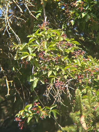
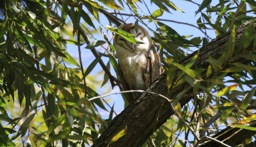
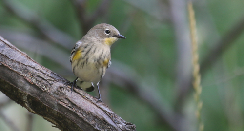
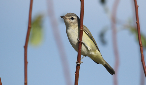
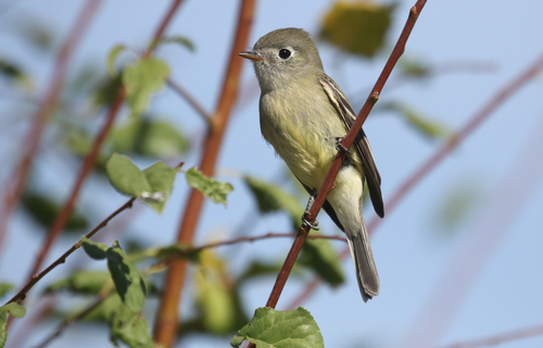
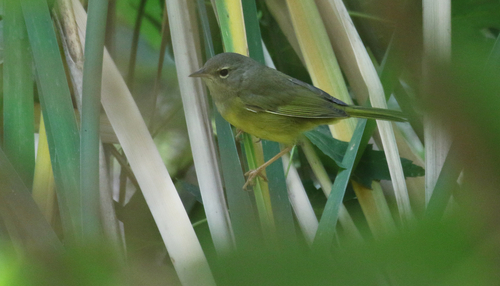
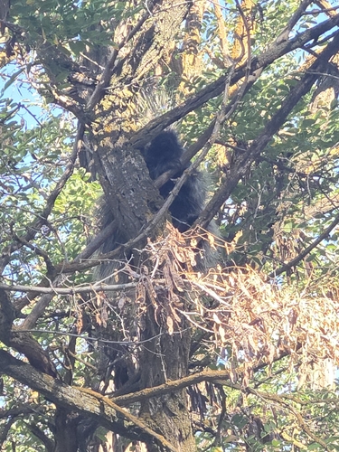
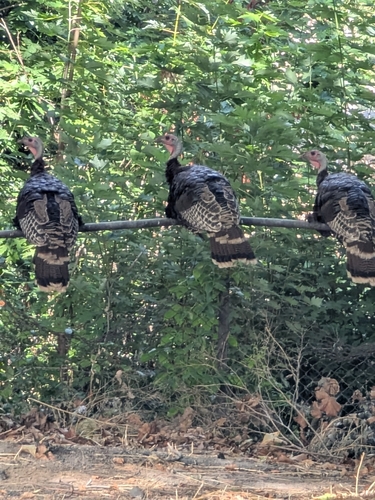
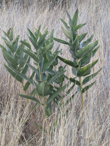
Research-grade observations from iNaturalist (within ~15 mi).
Nearest stream gauge
Live readings from USGS NWIS · measured 2026-09-18 07:30 UTC.
Events
Gallery
Sources
- • Wikipedia
- • US Census Bureau (ACS 5-year estimates)
- • NOAA National Weather Service
- • Wikidata
- • USGS NWIS (water data)
- • NCES via Urban Institute Education Data Portal
- • iNaturalist
- • CDC PLACES
- • Open-Meteo / sunrise-sunset.org
- • Wikipedia Pageviews API
- • Open Library
- • NASA EONET