Browse / United States / Washington / Waverly
Waverly
Washingtontown

Waverly
Total population
166
Median home value
$225,000
Bachelor's+
Median income
$65,909
Demographic figures from US Census Bureau · ACS 5-year estimates. Overview below cites Wikipedia and may reference a different year.
City facts
Facts from Wikidata (CC0).
Overview
Waverly is a town in Spokane County, Washington, United States. The population was 121 at the 2020 census.
Read more on WikipediaHistory & geography
History
Waverly was settled by white immigrants as early as 1878, and was named by two settlers after Waverly, Iowa in 1879. The following year the community received a post office at the residence of A.D. Thayer on Hangman Creek (now Latah Creek), where it remained for five years. In 1884 P. Gimble opened the town's first business, a general store, which was followed by a station for a new branch of the Oregon Railroad & Navigation Company, and warehouses built by the Spokane Grain & Milling Company and the Pacific Coast Elevator Company. In December 1899 a beet sugar factory built by the Washington State Beet Sugar Company opened. The beet sugar company employed 150 workers in the factory, and up to 400 workers in the beet fields during harvest time. Additionally, the town included a hardware store, jewelry store, harness shop, meat market, millinery, two hotels, two restaurants, a livery stable, barber shop, furniture store, and two saloons. Waverly was officially incorporated on May 15, 1907.
Geography
According to the United States Census Bureau, the town has a total area of , all of it land.
Excerpted from the corresponding Wikipedia article (CC BY-SA).
Demographics & economy
Race & ethnicity
Source: US Census Bureau — American Community Survey, 5-year estimates.
Geography
Coordinates & boundaries from the US Census TIGER/Line shapefiles.
Climate
Current forecast
Forecast for Waverly, WA from NOAA NWS API.
Air quality
Industrial & pollution facilities
Natural hazard risk
Health (adults)
Age-adjusted prevalence estimates from CDC PLACES (latest release).
Walkability
Amenities nearby
Wildlife & biodiversity
Schools
Largest nearby schools
- Liberty Jr High & ElementaryElementary · SPANGLE · 415 students · 18:1 ratio
- Liberty High SchoolHigh · SPANGLE · 178 students · 16.2:1 ratio
Public K–12 schools within ~10 mi from Urban Institute Education Data Portal (NCES Common Core of Data, 2022).
Earthquake history
Photos
Sights & places nearby
Notable people from here
Nearby places in Washington
Geography & sun
Nearby airports
Public attention
Books about this place
Recent natural events nearby
- Wildfire WELLS ROAD, Whitman, WashingtonWildfires · 2026-08-08 · 15 mi
- Wildfire OLD TRAILS, Spokane, WashingtonWildfires · 2026-08-01 · 28 mi
- Wildfire FAIRVIEW, Spokane, WashingtonWildfires · 2026-08-01 · 29 mi
- Wildfire PALOUSE RIVER, Whitman, WashingtonWildfires · 2026-08-08 · 32 mi
- Wildfire AUTUMN LANE, Spokane, WashingtonWildfires · 2026-08-01 · 36 mi
- Wildfire Dudley, Shoshone, IdahoWildfires · 2026-08-26 · 63 mi
- Wildfire ALPOWA, Asotin, WashingtonWildfires · 2026-08-11 · 64 mi
- Wildfire MITRE ROCK, Stevens, WashingtonWildfires · 2026-08-01 · 65 mi
Wildfires, storms and other events from NASA EONET (last 12 months, within 250 mi).
Ground air-quality sensors
Recently spotted species
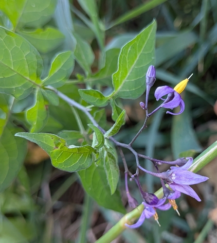
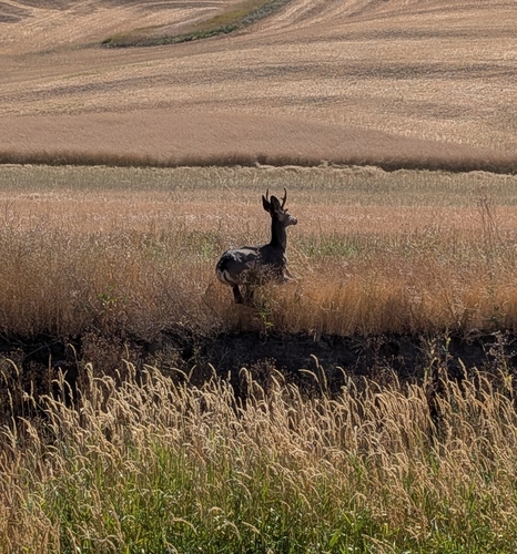
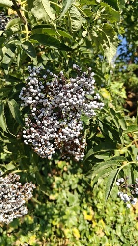
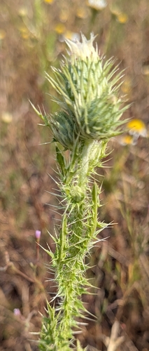
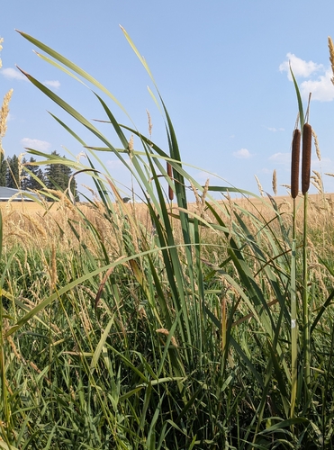
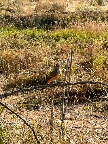
Research-grade observations from iNaturalist (within ~15 mi).
Nearest stream gauge
Live readings from USGS NWIS · measured 2026-09-18 07:30 UTC.
Events
Gallery
Sources
- • Wikipedia
- • US Census Bureau (ACS 5-year estimates)
- • NOAA National Weather Service
- • Wikidata
- • USGS NWIS (water data)
- • NCES via Urban Institute Education Data Portal
- • iNaturalist
- • CDC PLACES
- • NASA EONET