Browse / United States / Washington / Wilbur
Wilbur
Washingtontown

Wilbur
Total population
842
Median home value
$221,800
Bachelor's+
Median income
$55,625
Demographic figures from US Census Bureau · ACS 5-year estimates. Overview below cites Wikipedia and may reference a different year.
City facts
Facts from Wikidata (CC0).
Overview
Wilbur is a town in Lincoln County, Washington, United States. The population was 895 at the 2020 census.
Read more on WikipediaHistory & geography
History
Just prior to the construction of the Central Washington Railroad line in 1889, no towns existed west of Davenport in Lincoln County. One place along the line, "Wild Goose Bill's Ranch," run by Samuel Wilbur Condit, was assigned a post office by the Federal government. Condit was 62 years old and known throughout the region as Wild Goose Bill when he and another man shot each other to death on January 21, 1895. The town was originally named "Goosetown" in his honor, however, after the local blacksmith's wife complained that she would never live somewhere with such a silly name, the town was christened "Wilbur" in 1889. It had been located on the stage line between Davenport and the Mines in northern Washington and with the speculation of the railroad arriving soon seemed a likely place for a town. The town grew in earnest and was platted in April 1889. With the arrival of the railroad later that year, Wilbur's growth increased rapidly with the establishment of bigger hotels, a bank, a lumber mill and countless other businesses. After several failed attempts to incorporate in 1889, Wilbur was officially incorporated on August 11, 1890. The boom had slowed by 1891 and came to a halt with the Panic of 1893. Wilbur gained news coverage in July 2007 as a result of crop circles found roughly 10 miles north of town, just off of Highway 2. The origin of these depressions in the wheat crop of local farmer Jim Llewellyn is unknown, and the phenomenon was covered by new stations as well as newspapers. More crop circles were discovered in August 2009. On July 31, 2012, crop circles appeared for the third time in wheat fields near the town.
Geography
Wilbur is located in northwestern Lincoln County on U.S. Route 2 approximately south of Franklin D. Roosevelt Lake on the Columbia River. The town is connected by additional highways: State Route 21 continues north to the Keller Ferry and south to Interstate 90 in Washington; and State Route 174 travels northwest to the Grand Coulee Dam. Wilbur is situated in an oblong basin with Goose Creek, also named for Wild Goose Bill, running through the center of the town, and abrupt, basaltic cliffs, not of very great elevation, on the north and south. At one time this spot was, evidently, a lake. During the construction of U.S. Route 2, the course of Goose Creek was altered, moving its flow southward as it flows to the west, part of the Wilson Creek watershed. According to the United States Census Bureau, the town has a total area of , all of it land.
Excerpted from the corresponding Wikipedia article (CC BY-SA).
Demographics & economy
Race & ethnicity
Source: US Census Bureau — American Community Survey, 5-year estimates.
Geography
Coordinates & boundaries from the US Census TIGER/Line shapefiles.
Climate
Current forecast
Forecast for Wilbur, WA from NOAA NWS API.
Air quality
Industrial & pollution facilities
Natural hazard risk
Health (adults)
Walkability
Amenities nearby
Wildlife & biodiversity
Most-observed species
- Red-tailed HawkButeo jamaicensis (Gmelin, 1788) · Aves213
- Common RavenCorvus corax Linnaeus, 1758 · Aves206
- European StarlingSturnus vulgaris Linnaeus, 1758 · Aves193
- Horned LarkEremophila alpestris (Linnaeus, 1758) · Aves192
- Red-winged BlackbirdAgelaius phoeniceus (Linnaeus, 1766) · Aves159
- Western MeadowlarkSturnella neglecta Audubon, 1844 · Aves155
- American RobinTurdus migratorius Linnaeus, 1766 · Aves126
- Hen HarrierCircus cyaneus (Linnaeus, 1766) · Aves119
Citizen-science & research observations from the Global Biodiversity Information Facility (GBIF).
Schools
Earthquake history
Most recent
- M 2.73 — 2023-09-12Washington
- M 2.93 — 2022-10-138 km NNE of Airway Heights, Washington
- M 2.51 — 2020-03-3112 km NE of Sprague, Washington
- M 3.48 — 2019-11-1819 km NW of Hartline, Washington
- M 2.77 — 2018-03-114 km NNE of Waterville, Washington
- M 3.33 — 2017-07-24Washington
Events from the USGS Earthquake Catalog (global) (FDSN Event Web Service).
Photos
Sights & places nearby
Notable people from here

People born within ~10 km, from Wikidata (CC0). Click any name for their Wikipedia article.
Nearby places in Washington
Geography & sun
Elevation, sunrise/sunset and daylight from Open-Meteo. Solar climatology from NASA POWER.
Nearby airports
Public attention
Pageview totals from the Wikimedia Pageviews API.
Books about this place
Recent natural events nearby
- Wildfire MITRE ROCK, Stevens, WashingtonWildfires · 2026-08-01 · 21 mi
- Wildfire HUDSPETH, Stevens, WashingtonWildfires · 2026-08-01 · 34 mi
- Wildfire PEARL HILL, Douglas, WashingtonWildfires · 2026-07-25 · 45 mi
- Wildfire BRADEEN HILL, Stevens, WashingtonWildfires · 2026-07-25 · 47 mi
- Wildfire AUTUMN LANE, Spokane, WashingtonWildfires · 2026-08-01 · 51 mi
- Wildfire OLD TRAILS, Spokane, WashingtonWildfires · 2026-08-01 · 55 mi
- Wildfire FAIRVIEW, Spokane, WashingtonWildfires · 2026-08-01 · 63 mi
- Wildfire WELLS ROAD, Whitman, WashingtonWildfires · 2026-08-08 · 67 mi
Wildfires, storms and other events from NASA EONET (last 12 months, within 250 mi).
Ground air-quality sensors
Recently spotted species
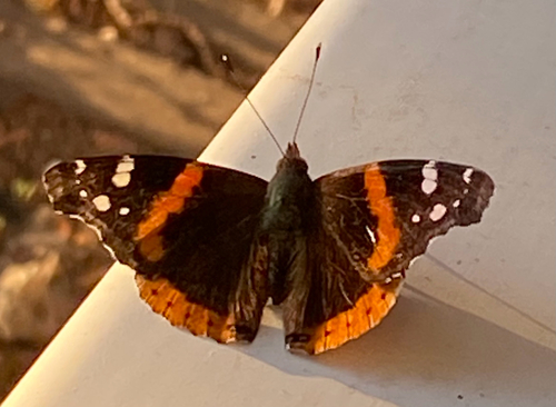
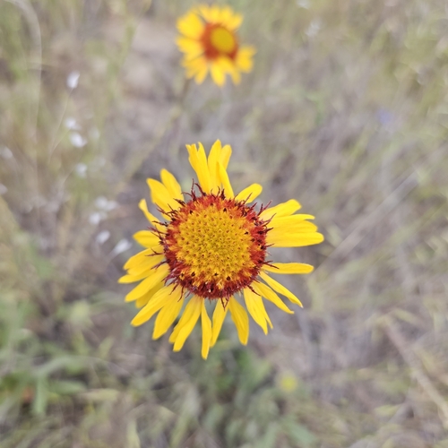
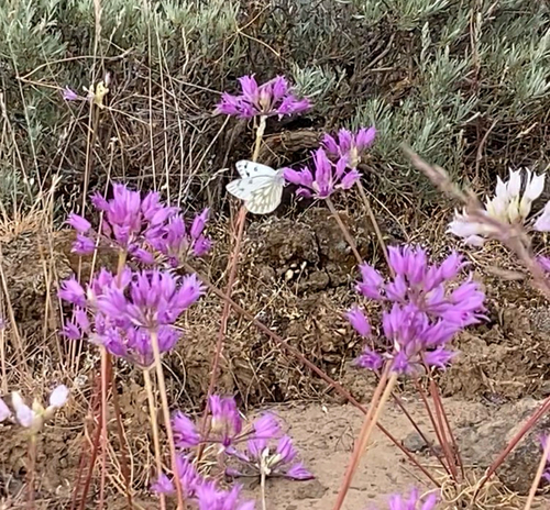
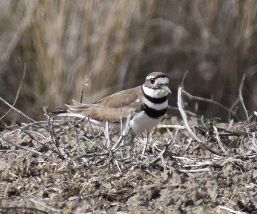
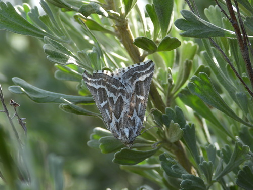
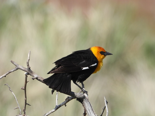
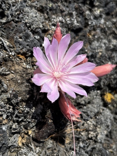
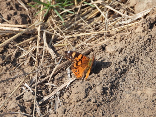
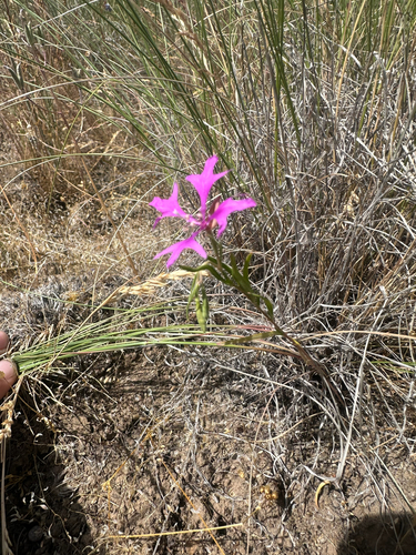
Research-grade observations from iNaturalist (within ~15 mi).
Nearest stream gauge
Events
Gallery
Sources
- • Wikipedia
- • US Census Bureau (ACS 5-year estimates)
- • NOAA National Weather Service
- • Wikidata
- • USGS Earthquake Catalog (global feed)
- • GBIF (Global Biodiversity Information Facility)
- • iNaturalist
- • Open-Meteo / sunrise-sunset.org
- • Wikipedia Pageviews API
- • NASA EONET