Browse / United States / Washington / Winlock
Winlock
Washingtoncity

Winlock
Total population
2,140
Median home value
$361,700
Bachelor's+
Median income
$80,451
Founded
1883
Air quality index
Demographic figures from US Census Bureau · ACS 5-year estimates. Overview below cites Wikipedia and may reference a different year.
City facts
Facts from Wikidata (CC0).
Overview
Winlock is a city in Lewis County, Washington, United States. The population was 1,472 at the 2020 census, and was estimated to be 2,515 in 2024. It was named after territorial army general, William Winlock Miller, who briefly resided there. Winlock is mostly famous for having the World's Largest Egg, reflecting its former status as a major producer of eggs. Early in its history, Winlock attracted many immigrants from Finland, Germany, and Sweden.
Read more on WikipediaHistory & geography
History
Winlock began as a Northern Pacific Railroad construction camp called Wheeler's Camp in c. 1871. The railroad was then in the process of extending its line from Kalama to Tacoma, Washington. Dr. C. C. Pagett, an early resident, donated the land for the townsite. In 1873, he named it for General William Winlock Miller of Olympia, a man of some renown in the area. Miller had promised to give a school bell to the town if it were to be named after him. The town was incorporated on February 28, 1883. Lumbering was the initial economic driver. A number of sawmills were established beginning in the late 1800s. In the late 1920s there were four mills in operation, employing 350 men and producing over 30 million board feet of fir lumber annually. Agriculture developed in the early 1900s with the impetus on the raising of poultry and the production of eggs. A Finnish immigrant, Impi Erving, began as a poulterer in Winlock in the 1900s, out-earning her husband Jacob's farm and cattle business. Jacob installed a kerosene-powered incubator in a bedroom of their house and the family was producing 500,000 eggs annually in a few years. Jacob Irving later constructed a 40,000 egg capacity temperature-controlled incubator system in Winlock in the early 1920s. Business entrepreneur John Marcotte opened the Cowlitz Produce Company at Winlock's Leonard Building in 1913, selling eggs from local farmers. The business reached in sales by the 1920s. A branch of the Washington Cooperative Egg & Poultry Association (WCEPA) was opened in Winlock in 1920. The organization constructed and operated out of a large building in Winlock that remains in the present day at the north end of town near the railroad tracks. The facility housed grain storage bins and accommodated poultry processing. and…
Geography
According to the United States Census Bureau, the city has a total area of , of which is land and (0.00%) is water. The city grew an additional after the 2023 UGA annexation. Olequa Creek, a main tributary of the Cowlitz River, runs through the center of town from north to south. The eastern edge of the Willapa Hills lie to the west. To the east are relatively flat prairies. A notable landmark about four miles west of town is Sam Henry Mountain, elevation , named for an early section superintendent of the Northern Pacific Railroad. Mt. St. Helens, about to the east can be seen from viewpoints around the area. In May 1980, Winlock was covered with about of volcanic ash from the second major eruption of this peak one week after the cataclysmic eruption of May 18.
Excerpted from the corresponding Wikipedia article (CC BY-SA).
Demographics & economy
Race & ethnicity
Source: US Census Bureau — American Community Survey, 5-year estimates.
Geography
Coordinates & boundaries from the US Census TIGER/Line shapefiles.
Climate
Air quality
Current readings from Open-Meteo Air Quality API (Copernicus CAMS European reanalysis).
Industrial & pollution facilities
Natural hazard risk
Health (adults)
Age-adjusted prevalence estimates from CDC PLACES (latest release).
Walkability
Amenities nearby
Wildlife & biodiversity
Most-observed species
- Song SparrowMelospiza melodia (A.Wilson, 1810) · Aves1,238
- American RobinTurdus migratorius Linnaeus, 1766 · Aves1,194
- Steller's JayCyanocitta stelleri (Gmelin, 1788) · Aves929
- Spotted TowheePipilo maculatus Swainson, 1827 · Aves855
- American CrowCorvus brachyrhynchos C.L.Brehm, 1822 · Aves826
- Dark-eyed JuncoJunco hyemalis (Linnaeus, 1758) · Aves814
- European StarlingSturnus vulgaris Linnaeus, 1758 · Aves793
- Black-capped ChickadeePoecile atricapillus (Linnaeus, 1766) · Aves770
Citizen-science & research observations from the Global Biodiversity Information Facility (GBIF).
Schools
Earthquake history
Most recent
- M 3.75 — 2026-09-0520 km E of Castle Rock, Washington
- M 2.61 — 2026-07-3118 km NE of Amboy, Washington
- M 2.84 — 2026-05-274 km W of Wauna, Washington
- M 2.52 — 2026-03-177 km SE of Mineral, Washington
- M 2.86 — 2026-03-112 km W of Home, Washington
- M 2.65 — 2025-12-195 km WSW of Pe Ell, Washington
Events from the USGS Earthquake Catalog (global) (FDSN Event Web Service).
Photos
Sights & places nearby
Notable people from here
Nearby places in Washington
- Centralia16.1 mi away · pop. 18,830
- Bucoda21.3 mi away · pop. 494
- Lower Elochoman28 mi away
- Morton31.4 mi away · pop. 1,206
- Kalama33 mi away · pop. 3,050
- La Grande38 mi away
- Nisqually Indian Community39.1 mi away · pop. 628
- Tanglewilde39.4 mi away
- Clear Lake42.5 mi away · pop. 1,271
- South Creek43.6 mi away
- Kapowsin47.2 mi away
- McChord AFB49 mi away · pop. 2,999
Geography & sun
Nearby airports
Public attention
Books about this place
Recent natural events nearby
- Wildfire KING, Kittitas, WashingtonWildfires · 2026-08-19 · 104 mi
- Wildfire GOAT, Kittitas, WashingtonWildfires · 2026-08-22 · 111 mi
- Wildfire Austin Non-Stat, Clackamas, OregonWildfires · 2026-08-12 · 112 mi
- Wildfire AUSTIN, Clackamas, OregonWildfires · 2026-08-09 · 112 mi
- Wildfire Colwash, Yakima, WashingtonWildfires · 2026-08-22 · 132 mi
- Wildfire 0658 ROUND BUTTE, Jefferson, OregonWildfires · 2026-08-01 · 155 mi
- Wildfire SISI, Chelan, WashingtonWildfires · 2026-08-14 · 162 mi
- Wildfire Electric, Whatcom, WashingtonWildfires · 2026-08-22 · 165 mi
Wildfires, storms and other events from NASA EONET (last 12 months, within 250 mi).
Ground air-quality sensors
Recently spotted species
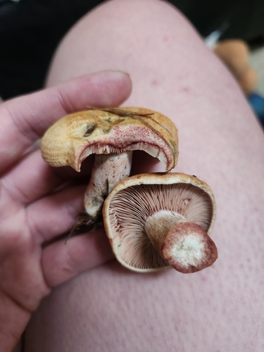
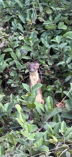
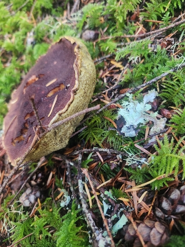
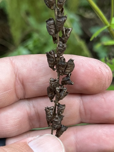
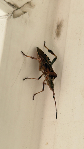
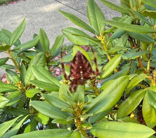
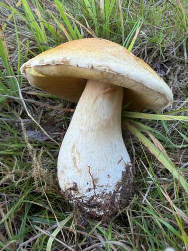
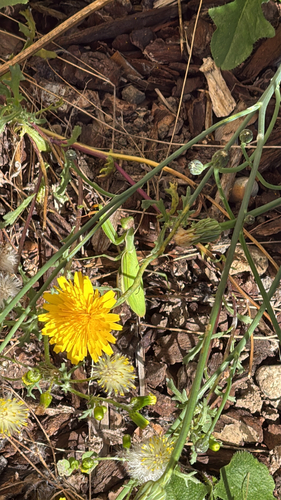
Research-grade observations from iNaturalist (within ~15 mi).
Nearest stream gauge
Events
Gallery
Sources
- • Wikipedia
- • US Census Bureau (ACS 5-year estimates)
- • Wikidata
- • Open-Meteo Air Quality (CAMS)
- • USGS Earthquake Catalog (global feed)
- • GBIF (Global Biodiversity Information Facility)
- • iNaturalist
- • CDC PLACES
- • NASA EONET