Browse / United States / Washington / Winthrop
Winthrop
Washingtontown

Winthrop
Total population
423
Median home value
$475,000
Bachelor's+
Median income
$66,908
Demographic figures from US Census Bureau · ACS 5-year estimates. Overview below cites Wikipedia and may reference a different year.
City facts
Overview
Winthrop is a town in Okanogan County, Washington, United States. It is located on the North Cascades Highway, east of Mazama and north of Twisp. The town's population was 504 at the 2020 census. Winthrop lies at the confluence of the Methow and Chewuch rivers near the eastern foothills of the Cascade Mountains.
Read more on WikipediaHistory & geography
History
Native Americans, including the Methow people, were the first inhabitants of Winthrop, with evidence of human habitation at least 8,000 to 10,000 years before present. They lived along the banks of the Methow and Chewuch rivers, where they harvested camas root and berries, fished, and hunted. The Methow had seasonal camps and returned annually to the upper valley in the summer once they acquired horses in the 18th century. The population of the Methow people and other Columbia Plateau tribes were devastated by smallpox epidemics by the 19th century. The tribes under the leadership of Chief Moses were assigned by the federal government to the Columbia Reservation in 1879, which included the Methow Valley. The Columbia Reservation was dissolved by the federal government in 1883 to allow for white settlement of the Methow Valley, which was opened on May 1, 1886. The Methow people were then moved further east to the Colville Indian Reservation. The town's first trading post and general store was opened in January 1892 by Guy Waring of Boston, who moved with his family to the confluence of the Chewuch and Methow rivers a year before. He took over the Winthrop post office, which had been established on June 18, 1891, and unsuccessfully attempted to rename the town "Waring" despite local backlash. Gold was discovered northwest of the Methow Valley near in 1892 and caused a gold rush that brought 1,000 people to the small settlement of Barron. Owen Wister, Waring's former roommate at Harvard University, wrote The Virginian, considered the first American western novel, after honeymooning in Winthrop in 1892 and 1898. A rival town to the south named Heckendorn was platted in 1904 and had several businesses that eroded Waring's monopoly on the upper Methow Valley. The town was…
Geography
Winthrop lies in western Okanogan County at the confluence of the Methow and Chewuch rivers in the Methow Valley. According to the United States Census Bureau, Winthrop has an area of , all land. The Okanogan–Wenatchee National Forest and state-managed Methow Wildlife Area surround the Methow Valley. The area includes sandstone formations as well as features that were formed by volcanic activity. Like most of northeastern Washington, Winthrop has a humid continental climate (Köppen Dsb), with cold, snowy winters and very warm summers with cool nights and little rainfall. In the winter, temperatures in the Methow Valley regularly drop below , but are also able to reach as high as due to warm Chinook winds. Winthrop and Mazama recorded the coldest temperature ever measured in Washington state at on December 30, 1968. Winthrop also has the coldest average month in the state, with January minimum temperatures at . The hottest temperature recorded in Winthrop was on June 30, 2021, during a regional heat dome event. Western Okanogan County is prone to wildfires in the summer, which can shut down the North Cascades Highway as well as local businesses reliant on tourism. The 2021 wildfire season included two major fires in the Methow Valley that caused long-term evacuations and smoke inundation. The Cedar Creek and Cub Creek fires both started in early July and were contained by September after burning a combined . By late July, the air quality index in Winthrop had reached as high as 429—the worst in the United States—and was compared to Mordor from The Lord of the Rings by a National Weather Service office. The following month, Illinois-based Instant Brands donated 2,000 air purifiers to the town to be distributed to residents. A wildfire in late June 2026 resulted in…
Excerpted from the corresponding Wikipedia article (CC BY-SA).
Demographics & economy
Race & ethnicity
Source: US Census Bureau — American Community Survey, 5-year estimates.
Geography
Coordinates & boundaries from the US Census TIGER/Line shapefiles.
Climate
Air quality
Industrial & pollution facilities
Natural hazard risk
Health (adults)
Walkability
Amenities nearby
Wildlife & biodiversity
Most-observed species
- American RobinTurdus migratorius Linnaeus, 1766 · Aves3,350
- Northern FlickerColaptes auratus (Linnaeus, 1758) · Aves2,963
- Common RavenCorvus corax Linnaeus, 1758 · Aves2,710
- Black-capped ChickadeePoecile atricapillus (Linnaeus, 1766) · Aves2,387
- Spotted TowheePipilo maculatus Swainson, 1827 · Aves2,086
- Red-breasted NuthatchSitta canadensis Linnaeus, 1766 · Aves1,782
- Red-winged BlackbirdAgelaius phoeniceus (Linnaeus, 1766) · Aves1,702
- Western Wood-PeweeContopus sordidulus P.L.Sclater, 1859 · Aves1,571
Citizen-science & research observations from the Global Biodiversity Information Facility (GBIF).
Schools
Earthquake history
Most recent
- M 2.77 — 2025-11-308 km ESE of Loomis, Washington
- M 3.31 — 2025-11-219 km ESE of Loomis, Washington
- M 2.85 — 2025-11-198 km E of Loomis, Washington
- M 2.77 — 2025-11-158 km E of Loomis, Washington
- M 2.52 — 2025-09-104 km NW of Waterville, Washington
- M 2.6 — 2025-08-1047 km SSW of Princeton, Canada
Events from the USGS Earthquake Catalog (global) (FDSN Event Web Service).
Photos
Sights & places nearby
Notable people from here

People born within ~10 km, from Wikidata (CC0). Click any name for their Wikipedia article.
Nearby places in Washington
Geography & sun
Elevation, sunrise/sunset and daylight from Open-Meteo. Solar climatology from NASA POWER.
Nearby airports
Public attention
Pageview totals from the Wikimedia Pageviews API.
Books about Winthrop

Search results from Open Library.
Recent natural events nearby
- Wildfire SINLAHEKIN, Okanogan, WashingtonWildfires · 2026-07-26 · 27 mi
- Wildfire SISI, Chelan, WashingtonWildfires · 2026-08-14 · 31 mi
- Wildfire Thunder Creek, Skagit, WashingtonWildfires · 2026-08-22 · 39 mi
- Wildfire PEARL HILL, Douglas, WashingtonWildfires · 2026-07-25 · 43 mi
- Wildfire Electric, Whatcom, WashingtonWildfires · 2026-08-22 · 59 mi
- Wildfire GOAT, Kittitas, WashingtonWildfires · 2026-08-22 · 81 mi
- Wildfire KING, Kittitas, WashingtonWildfires · 2026-08-19 · 85 mi
- Wildfire MITRE ROCK, Stevens, WashingtonWildfires · 2026-08-01 · 94 mi
Wildfires, storms and other events from NASA EONET (last 12 months, within 250 mi).
Ground air-quality sensors
Recently spotted species
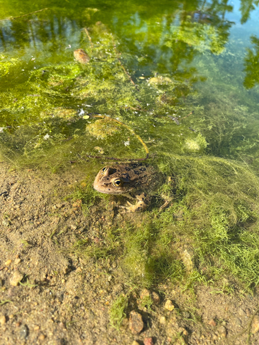
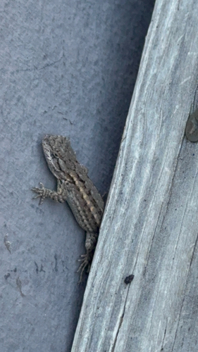
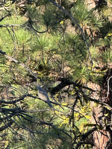
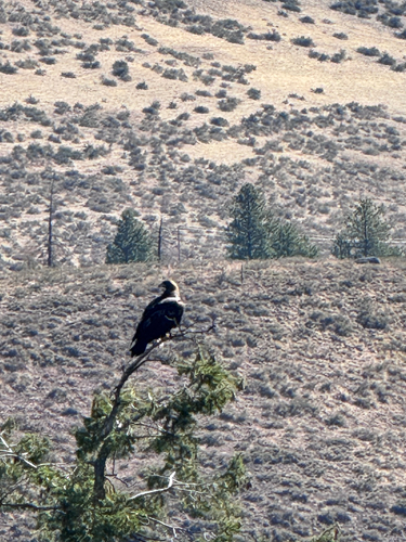
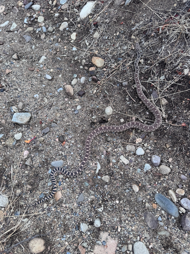
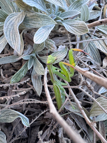
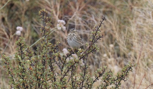
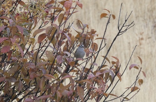
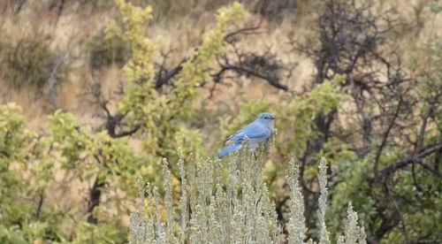
Research-grade observations from iNaturalist (within ~15 mi).
Nearest stream gauge
Live readings from USGS NWIS · measured 2026-09-21 09:15 UTC.
Events
Gallery
Sources
- • Wikipedia
- • US Census Bureau (ACS 5-year estimates)
- • Wikidata
- • USGS Earthquake Catalog (global feed)
- • USGS NWIS (water data)
- • GBIF (Global Biodiversity Information Facility)
- • iNaturalist
- • Open-Meteo / sunrise-sunset.org
- • Wikipedia Pageviews API
- • Open Library
- • NASA EONET