Browse / United States / Wisconsin / Bagley
Bagley
Wisconsinvillage

Bagley
Total population
337
Median home value
$119,400
Bachelor's+
Median income
$53,229
Demographic figures from US Census Bureau · ACS 5-year estimates. Overview below cites Wikipedia and may reference a different year.
- Flood Watch · SevereFlood Watch issued September 18 at 5:48AM CDT until September 19 at 1:00PM CDT by NWS La Crosse WI
Source: NOAA National Weather Service.
City facts
Facts from Wikidata (CC0).
Overview
Bagley is a village in Grant County in the U.S. state of Wisconsin, located on the Upper Mississippi River, approximately nine miles (15 km) south of Prairie du Chien. The population was 356 at the 2020 census. It is a popular riverside destination in the summer, when the population can quadruple. The village was named for Vermont natives Alfred and Mary Bagley, who owned the site.
Read more on WikipediaHistory & geography
History
The land for the village originally belonged to Mary Bagley when in 1884 the Chicago, Burlington and Quincy Railroad built a depot. Later that year, the Saint Paul Land Company purchased the land and platted the village. The village suffered damage on July 18, 2007, when a large thunderstorm dumped of rain on the area. The storm was part of a "mesoscale convective systems", bringing thunderstorms with huge amounts of rain and lightning. What were normally minor streams, particularly Glass Hollow Creek, became raging torrents, pushing debris before them, backing up water into the town. No deaths or injuries were reported, but 50 people were evacuated from their homes by boat.
Geography
Bagley is located at (42.902764, -91.100714). According to the United States Census Bureau, the village has a total area of , of which is land and is water.
Excerpted from the corresponding Wikipedia article (CC BY-SA).
Demographics & economy
Race & ethnicity
Source: US Census Bureau — American Community Survey, 5-year estimates.
Geography
Coordinates & boundaries from the US Census TIGER/Line shapefiles.
Climate
Current forecast
Forecast for Bagley, WI from NOAA NWS API.
Air quality
Industrial & pollution facilities
Natural hazard risk
Health (adults)
Age-adjusted prevalence estimates from CDC PLACES (latest release).
Walkability
Amenities nearby
Wildlife & biodiversity
Most-observed species
- American RobinTurdus migratorius Linnaeus, 1766 · Aves2,457
- American RedstartSetophaga ruticilla (Linnaeus, 1758) · Aves1,799
- Northern CardinalCardinalis cardinalis (Linnaeus, 1758) · Aves1,764
- Red-bellied WoodpeckerMelanerpes carolinus (Linnaeus, 1758) · Aves1,732
- Baltimore OrioleIcterus galbula (Linnaeus, 1758) · Aves1,695
- Blue JayCyanocitta cristata (Linnaeus, 1758) · Aves1,663
- American GoldfinchSpinus tristis (Linnaeus, 1758) · Aves1,627
- Gray CatbirdDumetella carolinensis (Linnaeus, 1766) · Aves1,584
Citizen-science & research observations from the Global Biodiversity Information Facility (GBIF).
Schools
Largest nearby schools
- River Ridge ElementaryElementary · Patch Grove · 192 students · 12:1 ratio
- River Ridge HighHigh · Patch Grove · 175 students · 12.5:1 ratio
- River Ridge MiddleMiddle · Patch Grove · 157 students · 14.3:1 ratio
Public K–12 schools within ~10 mi from Urban Institute Education Data Portal (NCES Common Core of Data, 2022).
Earthquake history
Events from the USGS Earthquake Catalog (global) (FDSN Event Web Service).
Photos
Sights & places nearby
Notable people from here
People born within ~10 km, from Wikidata (CC0). Click any name for their Wikipedia article.
Nearby places in Wisconsin
- Patch Grove6.8 mi away · pop. 227
- Prairie du Chien10 mi away
- Cassville13.9 mi away · pop. 634
- Wauzeka16.2 mi away
- Eastman18.5 mi away · pop. 398
- Woodman20 mi away
- Lancaster20 mi away · pop. 3,976
- Steuben22.9 mi away
- Tennyson25.3 mi away
- Boscobel26 mi away · pop. 3,242
- Seneca26.1 mi away · pop. 372
- Ferryville31.2 mi away · pop. 194
Geography & sun
Elevation, sunrise/sunset and daylight from Open-Meteo. Solar climatology from NASA POWER.
Nearby airports
Public attention
Pageview totals from the Wikimedia Pageviews API.
Books about Bagley

Search results from Open Library.
Recent natural events nearby
Ground air-quality sensors
Recently spotted species

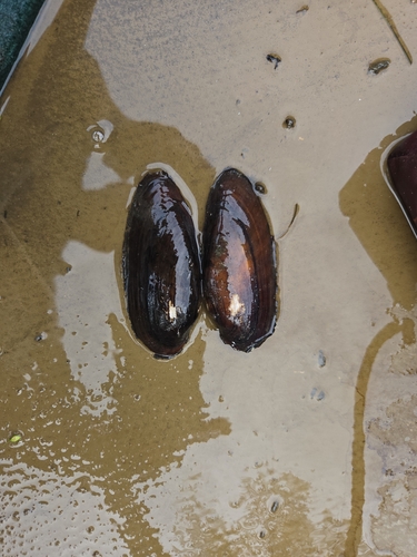

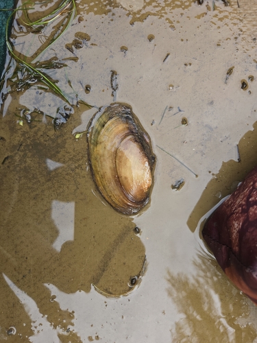

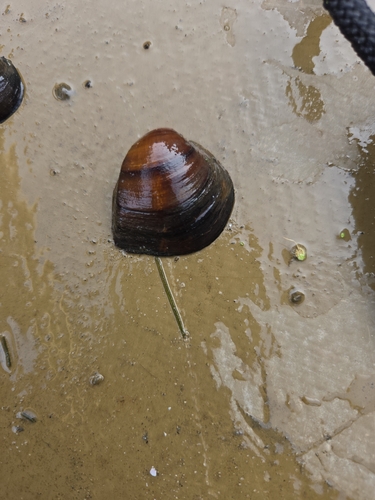
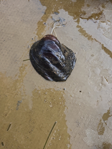
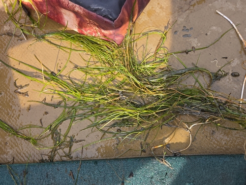
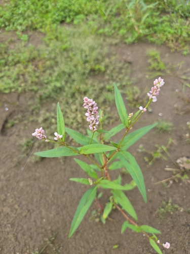
Research-grade observations from iNaturalist (within ~15 mi).
Nearest stream gauge
Events
Gallery
Sources
- • Wikipedia
- • US Census Bureau (ACS 5-year estimates)
- • NOAA National Weather Service
- • Wikidata
- • USGS Earthquake Catalog (global feed)
- • NCES via Urban Institute Education Data Portal
- • GBIF (Global Biodiversity Information Facility)
- • iNaturalist
- • CDC PLACES
- • Open-Meteo / sunrise-sunset.org
- • Wikipedia Pageviews API
- • Open Library