Browse / United States / Wisconsin / Cornucopia
Cornucopia
WisconsinCDP

Cornucopia
Total population
108
Median home value
$279,400
Bachelor's+
Median income
$104,375
Demographic figures from US Census Bureau · ACS 5-year estimates. Overview below cites Wikipedia and may reference a different year.
City facts
Facts from Wikidata (CC0).
Overview
Cornucopia is an unincorporated census-designated place in the town of Bell in northern Bayfield County, Wisconsin, United States. It is situated on Lake Superior at the northern end of the Bayfield Peninsula. It is along Wisconsin Highway 13 and County Highway C. As of the 2020 census, its population was 103, an increase over the figure of 98 tabulated in 2010. The community borders the lake at Siskiwit Bay, between Roman's Point and Mawikwe Point. It is near a mainland portion of the Apostle Islands National Lakeshore, which features the Mawikwe Bay Sea Caves.
Read more on WikipediaHistory & geography
History
The Ojibwe used the Siskiwit Bay area as a temporary camp and a stopover on the way to La Pointe. "Siskiwit" comes from an Ojibwe word for a subspecies of Lake trout known in English as a "fat trout". A historical marker at the Cornucopia beach tells of the Tragedy of the Siskiwit, an Ojibwe battle on that site with a band of Meskwaki that lead to several deaths and the kidnapping of a chief's son. The first white settlers in the Siskiwit Bay area were loggers who came at the close of the nineteenth century. Remnants of this period include abandoned railroad pilings in Siskiwit Lake and a legend of stolen gold on Gold Hill at the southeastern edge of the community. The first farmers were "Russians" who came to the Town of Bell from the Austrian Empire via Chicago. They were not Great Russians but Carpatho-Russians or Rusyns, an ethnic group found in the mountainous borderlands of Poland, Slovakia, Ukraine, and, Romania. Rusyn surnames found in Cornucopia include Kaseno, Celinsky, Sveda, Roman, and Pristash. Commercial fishing for lake trout, whitefish, and freshwater herring has traditionally operated out of Cornucopia's harbor. The Jones, Ehlers, Johnson, and Ivanow families kept the fishing industry going during the twentieth century. Today only the Halvorson family engages in commercial fishing out of Cornucopia. In 1903, T.J. Stevenson and Albert Wescott, two land speculators from Iowa established a post office and gave the village the name "Cornucopia" for its abundance of resources. A centennial celebration in 2003 recognized this event. After World War II, Cornucopia's natural environment led tourism to replace logging, farming, and fishing as the dominant industry of the community. Today, most working-age residents are engaged in trades, service, or…
Geography
Cornucopia has an area of , all land.
Excerpted from the corresponding Wikipedia article (CC BY-SA).
Demographics & economy
Race & ethnicity
Source: US Census Bureau — American Community Survey, 5-year estimates.
Geography
Coordinates & boundaries from the US Census TIGER/Line shapefiles.
Climate
Air quality
Industrial & pollution facilities
Natural hazard risk
Health (adults)
Age-adjusted prevalence estimates from CDC PLACES (latest release).
Walkability
Amenities nearby
Wildlife & biodiversity
Schools
Earthquake history
Photos
Sights & places nearby
Notable people from here
Geography & sun
Elevation, sunrise/sunset and daylight from Open-Meteo. Solar climatology from NASA POWER.
Nearby airports
Public attention
Pageview totals from the Wikimedia Pageviews API.
Books about Cornucopia
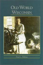
Search results from Open Library.
Recent natural events nearby
Ground air-quality sensors
Recently spotted species
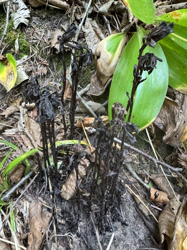
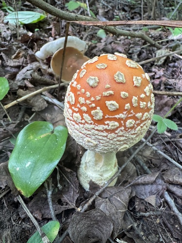
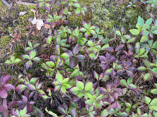
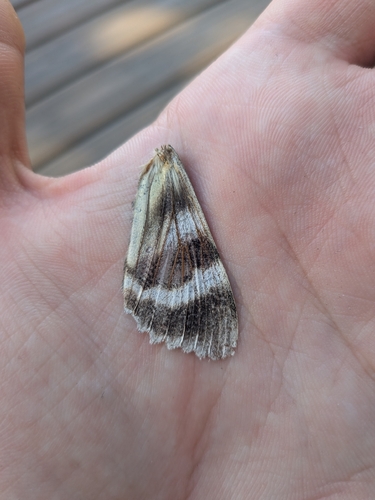
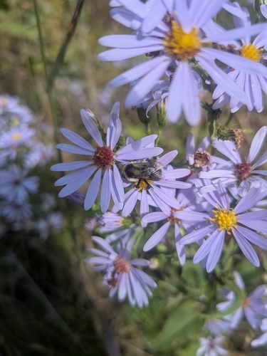
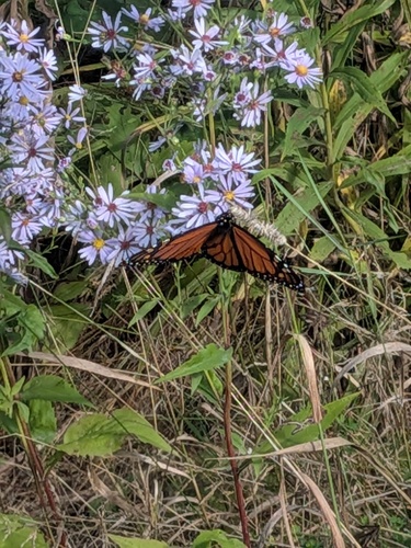
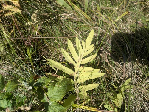
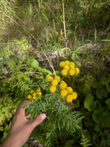
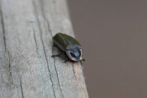
Research-grade observations from iNaturalist (within ~15 mi).
Nearest stream gauge
Events
Gallery
Sources
- • Wikipedia
- • US Census Bureau (ACS 5-year estimates)
- • Wikidata
- • iNaturalist
- • CDC PLACES
- • Open-Meteo / sunrise-sunset.org
- • Wikipedia Pageviews API
- • Open Library