Browse / United States / Wisconsin / Eagle River
Eagle River
Wisconsincity

Eagle River
Total population
1,528
Median home value
$213,900
Bachelor's+
Median income
$55,179
Founded
1853
Demographic figures from US Census Bureau · ACS 5-year estimates. Overview below cites Wikipedia and may reference a different year.
City facts
Facts from Wikidata (CC0).
Overview
Eagle River is a city and the county seat of Vilas County, Wisconsin, United States. The population was 1,628 at the 2020 census. Because of the many lakes in the area, the city is a popular vacation and retirement destination. The area contains many condominiums, seasonal vacation homes, and hunting cabins.
Read more on WikipediaHistory & geography
History
Eagle River was the site of the first permanent Native American settlement in the Wisconsin Northwoods, located on the shores of Watersmeet Lake where the Wisconsin River and Chain O' Lakes meet. These early Natives, who were called Old Copper Indians, were succeeded by the Woodland Indians from 2,600 B.C. to 800 A.D. These Natives were probably the ancestors of the Chippewa, Potawatomi, and Menominee. The first recorded white settler in what became Vilas County was a man named Ashman who established a trading post in Lac du Flambeau in 1818. Eagle River's name was derived from the abundance of eagles nesting along the river. It is believed that Bethuel Draper and "Dutch Pete" Cramer camped in the area in 1853 and were responsible for naming the community. A settlement grew as other families settled in the area in 1857. The town of Eagle River was created by an act of the state legislature in 1885. Vilas County was set off from Oneida County on April 12, 1893, and named for William Freeman Vilas, a migrant from Vermont. Vilas had served for Wisconsin in the United States Senate from 1891 to 1897. In the 1850s migrants from New England, primarily from Vermont and Connecticut, constructed a number of wagon roads and trails through Vilas County including the Ontonogan Mail Trail and a Military Road from Fort Howard to Fort Wilkins in Copper Harbor, Michigan.
Geography
Eagle River is located in southeastern Vilas County at (45.919902, -89.250210), along the Eagle River, which is part of a popular chain of lakes. The Eagle River/Three Lakes Chain of Lakes is made up of 28 lakes, which is the largest number of inland interconnecting lakes in the world. According to the United States Census Bureau, the city has a total area of , of which is land and is water. Eagle River has a cool humid continental climate (Köppen Dfb), with long, very cold winters and short, warm summers. Annually the temperature drops below 32 °F (0 °C) on 190 days, and below 0 °F (-17.8 °C) on 39 days. The comfortable summers result in only one day per year on average with temperatures exceeding 90 °F (32.2 °C).
Excerpted from the corresponding Wikipedia article (CC BY-SA).
Demographics & economy
Race & ethnicity
Source: US Census Bureau — American Community Survey, 5-year estimates.
Geography
Coordinates & boundaries from the US Census TIGER/Line shapefiles.
Climate
Current forecast
Forecast for Eagle River, WI from NOAA NWS API.
Air quality
Industrial & pollution facilities
Natural hazard risk
Health (adults)
Age-adjusted prevalence estimates from CDC PLACES (latest release).
Walkability
Amenities nearby
Wildlife & biodiversity
Most-observed species
- Black-capped ChickadeePoecile atricapillus (Linnaeus, 1766) · Aves3,805
- Blue JayCyanocitta cristata (Linnaeus, 1758) · Aves3,197
- Red-breasted NuthatchSitta canadensis Linnaeus, 1766 · Aves2,586
- American CrowCorvus brachyrhynchos C.L.Brehm, 1822 · Aves2,363
- American RobinTurdus migratorius Linnaeus, 1766 · Aves2,024
- American GoldfinchSpinus tristis (Linnaeus, 1758) · Aves1,768
- Downy WoodpeckerDryobates pubescens (Linnaeus, 1766) · Aves1,712
- White-breasted NuthatchSitta carolinensis Latham, 1790 · Aves1,652
Citizen-science & research observations from the Global Biodiversity Information Facility (GBIF).
Schools
Largest nearby schools
- Northland Pines Elementary-Eagle RiverElementary · Eagle River · 498 students · 12.1:1 ratio
- Northland Pines HighHigh · Eagle River · 417 students · 13.9:1 ratio
- Northland Pines MiddleMiddle · Eagle River · 182 students · 15.2:1 ratio
- School of Options & Applied Research HighHigh · Eagle River · 32 students · 8:1 ratio
Public K–12 schools within ~10 mi from Urban Institute Education Data Portal (NCES Common Core of Data, 2022).
Earthquake history
Most recent
- M 2.5 — 2024-01-073 km NE of Mole Lake, Wisconsin
Events from the USGS Earthquake Catalog (global) (FDSN Event Web Service).
Photos
Sights & places nearby
Notable people from here


People born within ~10 km, from Wikidata (CC0). Click any name for their Wikipedia article.
Geography & sun
Elevation, sunrise/sunset and daylight from Open-Meteo. Solar climatology from NASA POWER.
Nearby airports
Public attention
Pageview totals from the Wikimedia Pageviews API.
Books about this place
Recent natural events nearby
Ground air-quality sensors
Recently spotted species
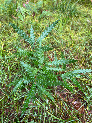
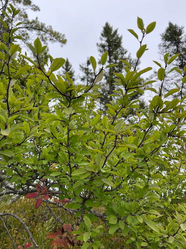
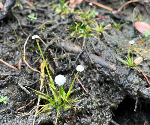
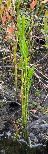

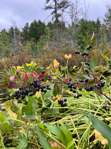
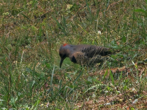
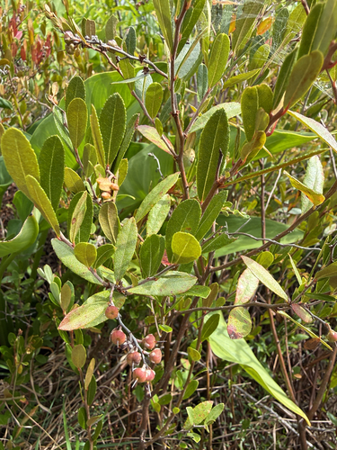
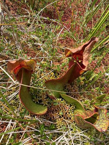
Research-grade observations from iNaturalist (within ~15 mi).
Nearest stream gauge
Events
Gallery
Sources
- • Wikipedia
- • US Census Bureau (ACS 5-year estimates)
- • NOAA National Weather Service
- • Wikidata
- • USGS Earthquake Catalog (global feed)
- • NCES via Urban Institute Education Data Portal
- • GBIF (Global Biodiversity Information Facility)
- • iNaturalist
- • CDC PLACES
- • Open-Meteo / sunrise-sunset.org
- • Wikipedia Pageviews API