Browse / United States / Wisconsin / Ephraim
Ephraim
Wisconsinvillage

Ephraim
Total population
412
Median home value
$505,100
Bachelor's+
Median income
$100,313
Demographic figures from US Census Bureau · ACS 5-year estimates. Overview below cites Wikipedia and may reference a different year.
- Special Weather Statement · ModerateSpecial Weather Statement issued September 26 at 4:39AM CDT by NWS Green Bay WI
Source: NOAA National Weather Service.
City facts
Facts from Wikidata (CC0).
Overview
Ephraim is a village in Door County, Wisconsin, United States. The population was 345 at the 2020 census. The village is known for its white buildings, its views of the bluffs across Eagle Harbor, and its shoreline along Green Bay. It is located across Eagle Harbor from Peninsula State Park.
Read more on WikipediaHistory & geography
History
The village was founded in 1853 by the Reverend Andreas Iverson as a Moravian Church community. The steeples of the Ephraim Moravian Church and the Free Evangelical Lutheran Church-Bethania Scandinavian Evangelical Lutheran Congregation are the landmarks of the village as seen from Eagle Harbor. The home of Reverend Iverson, as well as the Anderson Store, the Anderson Barn and History Center, the Pioneer Schoolhouse and the Goodletson log cabin are preserved by the Ephraim Historical Foundation and open to visitors as museums. The Ephraim Historical Foundation also offers walking tours of the village. Since its founding, the village prohibited alcohol sales or manufacture within the village; it was, until 2016, the only dry municipality in the state of Wisconsin. There were two referendums concerning the sale of liquor within the village, in 1934 and 1992. Both times the citizenry voted decisively to keep the village dry (with majorities of 59% and 74%, respectively). On April 5, 2016, village residents voted on two separate referendums to allow beer and/or wine sales within the village, both of which passed by 56% and 68% majorities.
Geography
To the west is Peninsula State Park; to the east and south are unincorporated parts of the town of Gibraltar. Ephraim is located at (45.156509, -87.171047). According to the United States Census Bureau, the village has a total area of , of which is land and is water. The highest point in the village (at the north end of North Orchard Street) is approximately above sea level, or above the surface of Green Bay. The climate in Ephraim is temperate, with warm summers and cold winters.
Excerpted from the corresponding Wikipedia article (CC BY-SA).
Demographics & economy
Race & ethnicity
Source: US Census Bureau — American Community Survey, 5-year estimates.
Geography
Coordinates & boundaries from the US Census TIGER/Line shapefiles.
Climate
Current forecast
Forecast for Ephraim, WI from NOAA NWS API.
Air quality
Industrial & pollution facilities
Natural hazard risk
Health (adults)
Walkability
Amenities nearby
Wildlife & biodiversity
Schools
Earthquake history
Photos
Sights & places nearby
Notable people from here
Nearby places in Wisconsin
- Sister Bay2.5 mi away
- Baileys Harbor7.2 mi away · pop. 386
- Ellison Bay7.8 mi away · pop. 186
- Egg Harbor10.3 mi away · pop. 343
- Marinette23.1 mi away
- Sturgeon Bay25.7 mi away
- Little Sturgeon29.9 mi away
- Forestville36.2 mi away · pop. 558
- Wausaukee40.7 mi away
- Crivitz40.9 mi away · pop. 993
- Algoma41.1 mi away
- Lena45.2 mi away
Geography & sun
Elevation, sunrise/sunset and daylight from Open-Meteo. Solar climatology from NASA POWER.
Nearby airports
Public attention
Pageview totals from the Wikimedia Pageviews API.
Books about Ephraim



Search results from Open Library.
Recent natural events nearby
Ground air-quality sensors
Recently spotted species
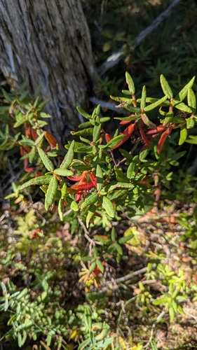
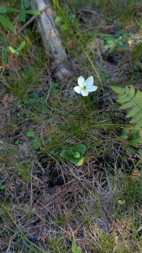



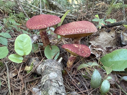
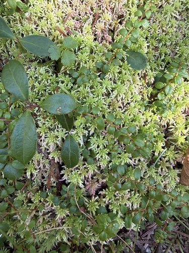
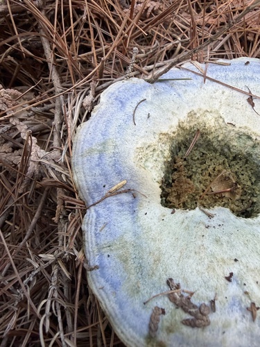
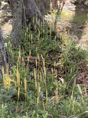
Research-grade observations from iNaturalist (within ~15 mi).
Nearest stream gauge
Events
Gallery
Sources
- • Wikipedia
- • US Census Bureau (ACS 5-year estimates)
- • NOAA National Weather Service
- • Wikidata
- • iNaturalist
- • Open-Meteo / sunrise-sunset.org
- • Wikipedia Pageviews API
- • Open Library