Browse / United States / Wisconsin / Fredonia
Fredonia
Wisconsinvillage

Fredonia
Total population
2,448
Median home value
$286,000
Bachelor's+
Median income
$99,013
Demographic figures from US Census Bureau · ACS 5-year estimates. Overview below cites Wikipedia and may reference a different year.
- Beach Hazards Statement · ModerateBeach Hazards Statement issued September 23 at 8:59AM CDT until September 24 at 1:00PM CDT by NWS Milwaukee/Sullivan WI
Source: NOAA National Weather Service.
City facts
Facts from Wikidata (CC0).
Overview
Fredonia is a village in Ozaukee County, Wisconsin, United States. Located on the Milwaukee River, the village is in the Milwaukee metropolitan area. The population was 2,279 at the 2020 census.
Read more on WikipediaHistory & geography
History
The land that became the village of Fredonia was originally inhabited by Native Americans, including the Potawatomi tribe, who surrendered the land to the United States government in 1833 through the 1833 Treaty of Chicago. While many Native people moved west of the Mississippi River to Kansas, some chose to remain and were referred to as "strolling Potawatomi" in contemporary documents because many of them were migrants who subsisted by squatting on their ancestral lands, which were now owned by white settlers. One such group was led by Chief Waubeka, who maintained a winter camp in the Ozaukee County community that bears his name as late as 1845. Eventually the Potawatomi who evaded forced removal gathered in northern Wisconsin, where they formed the Forest County Potawatomi Community. Fredonia was part of the Town of Port Washington until 1847, when the Town of Fredonia was created and named after Fredonia, New York. A post office called Fredonia has been in operation since 1850. The Village of Fredonia had its origins in 1873 when the Chicago, Milwaukee & St. Paul Railway constructed Fredonia Station. At the time, the community of Waubeka was the center of the Town of Fredonia, but after the station was built businesses, granaries, and houses sprouted up around the station. The Village of Fredonia was incorporated in 1922 with a population of 272. Camp Fredonia, an Allied prisoner of war camp that held 330 German prisoners of war, was located in nearby Little Kohler. In 1945, sixty of the prisoners were contracted to work at Fredonia Can Goods, Inc. in the village.
Geography
Fredonia is located at (43.468471, -87.95183). According to the United States Census Bureau, the village has a total area of , of land and of water. The Village of Fredonia is located in what was formerly the southwestern quadrant of the Town of Fredonia. The village's industrial park in the southern part of the village borders the Town of Saukville to the south. The unincorporated census-designated place of Waubeka is west of the village. The village is located in the Southeastern Wisconsin glacial till plains that were created by the Wisconsin glaciation during the most recent ice age. The area has some subterranean Silurian limestone formations that are part of the Racine Dolomite that stretches through eastern Wisconsin and Illinois. The rocks are visible at two 19th-century quarries west of the village. Before white settlers arrived in the area, the Village of Fredonia area was an upland forest dominated by American beech and sugar maple trees. There were also white cedars growing along the Milwaukee River, which flows along the village's western boundary. Much of the original forest was cleared to prepare the land for agriculture, but there's a two-mile stretch of forest along the river around Waubedonia Park. The region struggles with many invasive species, including the emerald ash borer, common carp, reed canary grass, the common reed, purple loosestrife, garlic mustard, Eurasian buckthorns, and honeysuckles.
Excerpted from the corresponding Wikipedia article (CC BY-SA).
Demographics & economy
Race & ethnicity
Source: US Census Bureau — American Community Survey, 5-year estimates.
Geography
Coordinates & boundaries from the US Census TIGER/Line shapefiles.
Climate
Current forecast
Forecast for Fredonia, WI from NOAA NWS API.
Air quality
Industrial & pollution facilities
Natural hazard risk
Health (adults)
Age-adjusted prevalence estimates from CDC PLACES (latest release).
Walkability
Amenities nearby
Wildlife & biodiversity
Schools
Largest nearby schools
- Port Washington HighHigh · Port Washington · 814 students · 16:1 ratio
- Thomas Jefferson MiddleMiddle · Port Washington · 717 students · 13:1 ratio
- Woodview ElementaryElementary · Grafton · 475 students · 14.4:1 ratio
- John Long MiddleMiddle · Grafton · 443 students · 15.3:1 ratio
- Wisconsin Virtual LearningOther · Fredonia · 351 students · 27:1 ratio
- Dunwiddie ElementaryElementary · Port Washington · 351 students · 14:1 ratio
- Ozaukee ElementaryElementary · Fredonia · 336 students · 14:1 ratio
- Saukville ElementaryElementary · Saukville · 335 students · 14.6:1 ratio
Public K–12 schools within ~10 mi from Urban Institute Education Data Portal (NCES Common Core of Data, 2022).
Earthquake history
Photos
Sights & places nearby
Notable people from here


People born within ~10 km, from Wikidata (CC0). Click any name for their Wikipedia article.
Geography & sun
Elevation, sunrise/sunset and daylight from Open-Meteo. Solar climatology from NASA POWER.
Nearby airports
Public attention
Pageview totals from the Wikimedia Pageviews API.
Books about Fredonia

Search results from Open Library.
Recent natural events nearby
Ground air-quality sensors
Recently spotted species
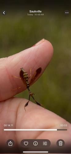
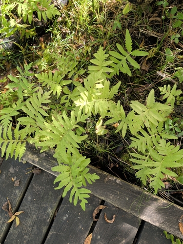
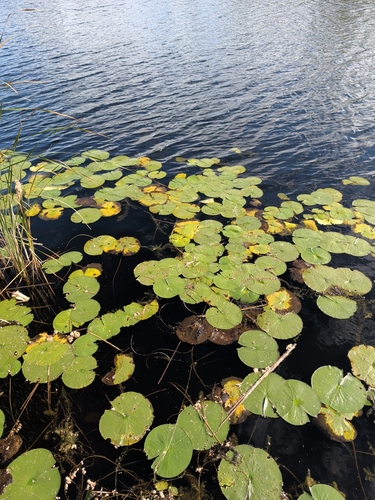
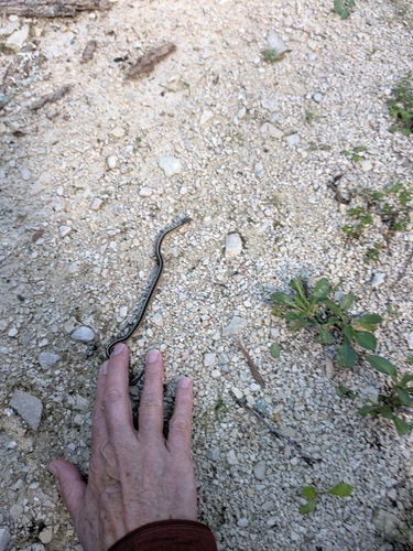
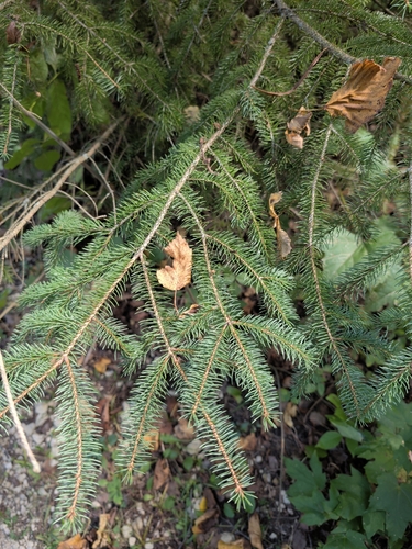
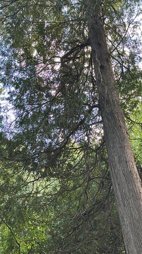
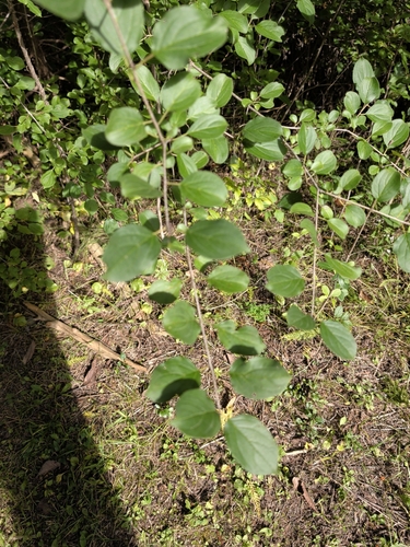
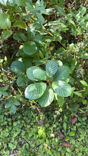
Research-grade observations from iNaturalist (within ~15 mi).
Nearest stream gauge
Events
Gallery
Sources
- • Wikipedia
- • US Census Bureau (ACS 5-year estimates)
- • NOAA National Weather Service
- • Wikidata
- • NCES via Urban Institute Education Data Portal
- • iNaturalist
- • CDC PLACES
- • Open-Meteo / sunrise-sunset.org
- • Wikipedia Pageviews API
- • Open Library