Browse / United States / Wisconsin / French Island
French Island
WisconsinCDP

French Island
Total population
4,188
Median home value
$207,100
Bachelor's+
Median income
$60,202
Demographic figures from US Census Bureau · ACS 5-year estimates. Overview below cites Wikipedia and may reference a different year.
City facts
Facts from Wikidata (CC0).
Overview
French Island is a village and a census-designated place (CDP) in La Crosse County, Wisconsin, United States. As of the 2020 census, French Island CDP had a population of 4,284. It lies on an island of the same name, though they are not coextensive; a portion of the island is part of the city of La Crosse. All of the island is part of the La Crosse Metropolitan Statistical Area. French Island contains the entire population of the Village of French Island, because the balance of the village's territory is uninhabited.
Read more on WikipediaHistory & geography
History
On October 1, 2025, the Town of Campbell submitted a request to incorporate as the Village of French Island. On May 19, 2026, residents of the Town of Campbell voted in favor of incorporating as the Village of French Island by a margin of 1493 votes for a village and 30 against a village. On May 21, 2026, the Village of French Island was officially incorporated by the Wisconsin Department of Administration.
Geography
French Island is located in western La Crosse County. It is surrounded by waterways connected to the Mississippi River: French Slough, French Lake, and Lake Onalaska to the west, and the Black River and Richmond Bay to the east. Two parts of the dam forming Lake Onalaska on the Mississippi connect to French Island: one at the head of French Lake, and the other impounding the Black River. The neighborhood of West La Crosse is in the southern part of the CDP. According to the United States Census Bureau, the French Island CDP has a total area of , of which are land and , or 19.76%, are water. The entire island's land area is .
Excerpted from the corresponding Wikipedia article (CC BY-SA).
Demographics & economy
Race & ethnicity
Source: US Census Bureau — American Community Survey, 5-year estimates.
Geography
Coordinates & boundaries from the US Census TIGER/Line shapefiles.
Climate
Air quality
Industrial & pollution facilities
Natural hazard risk
Health (adults)
Walkability
Amenities nearby
Wildlife & biodiversity
Schools
Earthquake history
Events from the USGS Earthquake Catalog (global) (FDSN Event Web Service).
Photos
Sights & places nearby
Notable people from here


People born within ~10 km, from Wikidata (CC0). Click any name for their Wikipedia article.
Nearby places in Wisconsin
Geography & sun
Nearby airports
Public attention
Books about this place
Recent natural events nearby
Ground air-quality sensors
Recently spotted species
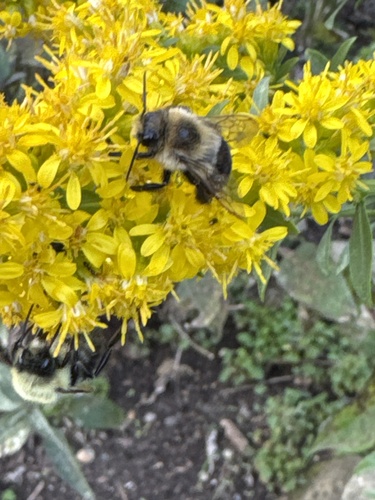


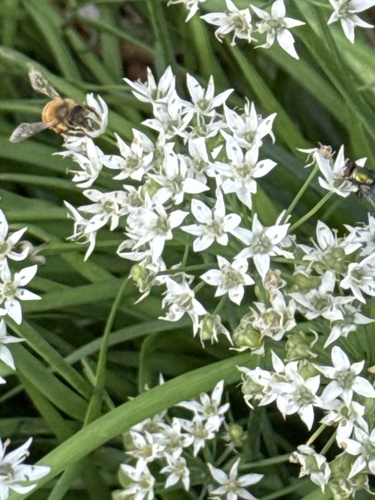
Research-grade observations from iNaturalist (within ~15 mi).
Nearest stream gauge
Live readings from USGS NWIS · measured 2026-09-26 04:00 UTC.
Events
Gallery
Sources
- • Wikipedia
- • US Census Bureau (ACS 5-year estimates)
- • Wikidata
- • USGS Earthquake Catalog (global feed)
- • USGS NWIS (water data)
- • iNaturalist