Browse / United States / Wisconsin / Green Bay
Green Bay
Wisconsincity

Green Bay
Total population
106,312
Median home value
$246,300
Bachelor's+
Median income
$65,820
Founded
1634
Demographic figures from US Census Bureau · ACS 5-year estimates. Overview below cites Wikipedia and may reference a different year.
- Freeze Warning · SevereFreeze Warning issued October 16 at 12:51AM CDT until October 17 at 9:00AM CDT by NWS Green Bay WI
Source: NOAA National Weather Service.
City facts
Sister cities
Facts from Wikidata (CC0).
Overview
Green Bay is a city in Brown County, Wisconsin, United States, and its county seat. It is located along the Green Bay inlet at the mouth of the Fox River on Lake Michigan. With a population of 107,395 at the 2020 census, it is the third-most populous city in Wisconsin and third-most populous city on Lake Michigan. The Green Bay metropolitan area has an estimated 335,000 residents.
Read more on WikipediaHistory & geography
History
Samuel de Champlain, the founder of New France, commissioned Jean Nicolet to form a peaceful alliance with Native Americans in the western areas, whose unrest interfered with the French fur trade, and to search for a shorter trade route to China through Canada. Nicolet and others had learned from other First Nations of the Ho-Chunk (Winnebago) people, who identified as "People of the Sea", and believed they must reside on or near an Ocean. Champlain had also heard about natural resources in the area, including fertile soil, forests, and animals. Nicolet began his journey for this new land shortly before winter in 1634. In what later became a French fur-trading route, he sailed up the Ottawa River, through Lake Nipissing and down the French River to Lake Huron, then through the straits of Michilimackinac into Lake Michigan. He is believed to have landed at Red Banks, near the site of the modern-day city of Green Bay, Wisconsin. Nicolet founded a small trading post here in 1634, originally named La Baye or La Baie des Puants (French for "the Bay of Stinking Waters"). Nicolet's settlement was one of the oldest European permanent settlements in America. When Nicolet arrived in the Green Bay area, he encountered the Menominee, who occupied this territory. He also met the Ho-Chunk (also known as the Winnebago), a people who spoke a Siouan language. The Winnebago hunted and fished, and also cultivated corn, beans, squash, and tobacco. Wild rice, which they had incorporated as a dietary staple, grew in abundance along the riverbanks. The women regularly harvested and cooked this, along with a wide variety of nuts, berries, and edible roots which they gathered in the woods. The men typically hunted and fished for food, and the women processed game and other foods in cooking.…
Geography
Green Bay is in the eastern part of Wisconsin at the mouth of the Fox River. Today, Interstate 43 meets Interstate 41 (also U.S. Route 41) in Green Bay, approximately north of Milwaukee. According to the United States Census Bureau, the city has a total area of , of which is land and is water. About 14% of the city of Green Bay is inside the Oneida Nation of Wisconsin reservation. Green Bay has a humid continental climate (Köppen climate classification Dfb), with some moderation due to the city's proximity to Lake Michigan. Like other cities with this type of climate, there are four distinct seasons, often with severe or extreme variation between them in terms of temperature and precipitation. Green Bay experiences warm, humid summers and cold, snowy winters. The variance in temperature and precipitation between months is severe and often extreme. Tornadoes are rare in the Green Bay area, with the strongest being an F3 tornado that hit the community of Pittsfield on June 26, 1969. Monthly mean temperatures range from in January to in July. | source = }}
Excerpted from the corresponding Wikipedia article (CC BY-SA).
Demographics & economy
Race & ethnicity
Source: US Census Bureau — American Community Survey, 5-year estimates.
Geography
Coordinates & boundaries from the US Census TIGER/Line shapefiles.
Climate
Current forecast
Forecast for Green Bay, WI from NOAA NWS API.
Air quality
Industrial & pollution facilities
Natural hazard risk
Health (adults)
Age-adjusted prevalence estimates from CDC PLACES (latest release).
Walkability
Amenities nearby
Wildlife & biodiversity
Most-observed species
- Mourning DoveZenaida macroura (Linnaeus, 1758) · Aves13,231
- Canada Goose (canadensis Group)Branta canadensis (Linnaeus, 1758) · Aves13,134
- MallardAnas platyrhynchos Linnaeus, 1758 · Aves13,065
- Red-winged BlackbirdAgelaius phoeniceus (Linnaeus, 1766) · Aves11,873
- American RobinTurdus migratorius Linnaeus, 1766 · Aves11,707
- American CrowCorvus brachyrhynchos C.L.Brehm, 1822 · Aves10,783
- American GoldfinchSpinus tristis (Linnaeus, 1758) · Aves10,328
- Black-capped ChickadeePoecile atricapillus (Linnaeus, 1766) · Aves10,009
Citizen-science & research observations from the Global Biodiversity Information Facility (GBIF).
Schools
Largest nearby schools
- Preble HighHigh · Green Bay · 2,125 students · 16.9:1 ratio
- Bay Port HighHigh · Green Bay · 1,926 students · 16.7:1 ratio
- De Pere HighHigh · De Pere · 1,470 students · 16.2:1 ratio
- East HighHigh · Green Bay · 1,084 students · 13.9:1 ratio
- Edison MiddleMiddle · Green Bay · 1,083 students · 13.9:1 ratio
- Southwest HighHigh · Green Bay · 1,079 students · 15.9:1 ratio
- West De Pere HighHigh · De Pere · 1,055 students · 16.2:1 ratio
- Ashwaubenon HighHigh · Green Bay · 998 students · 16.4:1 ratio
Public K–12 schools within ~10 mi from Urban Institute Education Data Portal (NCES Common Core of Data, 2022).
Earthquake history
Most recent
- M 2.9 — 2024-08-0238 km ESE of Sturgeon Bay, Wisconsin
Events from the USGS Earthquake Catalog (global) (FDSN Event Web Service).
Photos
Sights & places nearby
Notable people from here


People born within ~10 km, from Wikidata (CC0). Click any name for their Wikipedia article.
Nearby places in Wisconsin
- Allouez3.9 mi away
- Bellevue4.5 mi away · pop. 16,442
- Ashwaubenon5.8 mi away · pop. 17,314
- Suamico7.6 mi away
- Dyckesville13.7 mi away · pop. 391
- Luxemburg13.9 mi away · pop. 2,737
- Sobieski14.4 mi away
- Wrightstown16.4 mi away
- Seymour16.8 mi away
- Casco18.2 mi away · pop. 561
- Angelica19.6 mi away · pop. 115
- Kaukauna21.8 mi away · pop. 17,706
Geography & sun
Elevation, sunrise/sunset and daylight from Open-Meteo. Solar climatology from NASA POWER.
Nearby airports
Public attention
Pageview totals from the Wikimedia Pageviews API.
Books about Green Bay


Search results from Open Library.
Recent natural events nearby
Ground air-quality sensors
Recently spotted species
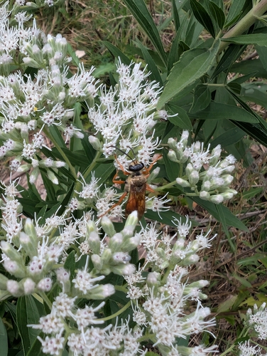
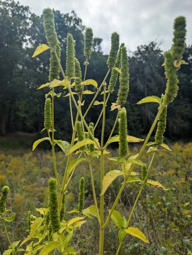
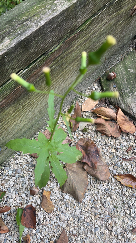
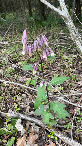
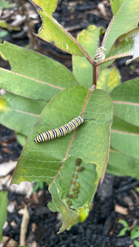
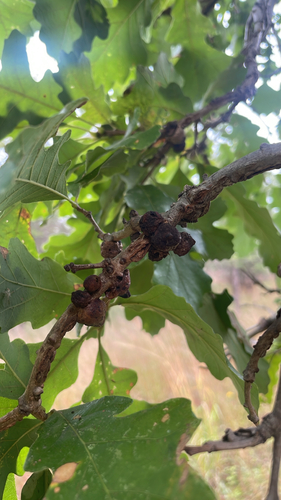
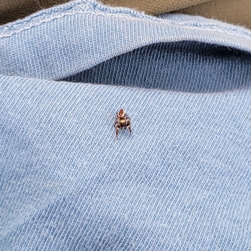
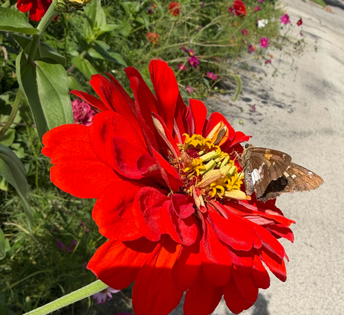
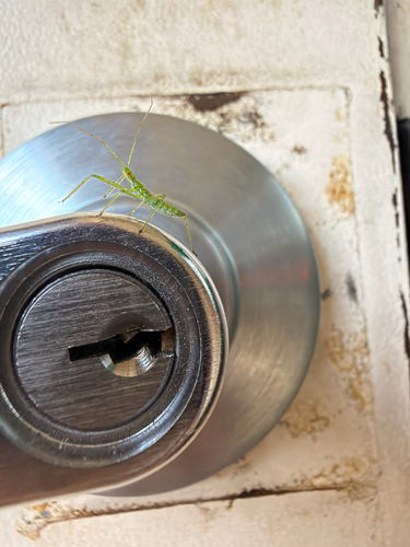
Research-grade observations from iNaturalist (within ~15 mi).
Nearest stream gauge
Live readings from USGS NWIS · measured 2026-09-17 15:00 UTC.
Events
Gallery
Sources
- • Wikipedia
- • US Census Bureau (ACS 5-year estimates)
- • NOAA National Weather Service
- • Wikidata
- • USGS Earthquake Catalog (global feed)
- • USGS NWIS (water data)
- • NCES via Urban Institute Education Data Portal
- • GBIF (Global Biodiversity Information Facility)
- • iNaturalist
- • CDC PLACES
- • Open-Meteo / sunrise-sunset.org
- • Wikipedia Pageviews API
- • Open Library