Browse / United States / Wisconsin / Greendale
Greendale
Wisconsinvillage

Greendale
Total population
14,594
Median home value
$314,200
Bachelor's+
Median income
$94,769
Demographic figures from US Census Bureau · ACS 5-year estimates. Overview below cites Wikipedia and may reference a different year.
City facts
Facts from Wikidata (CC0).
Overview
Greendale is a village in Milwaukee County, Wisconsin, United States. The population was 14,854 at the 2020 census. Greendale is located southwest of Milwaukee and is a part of the Milwaukee metropolitan area. A planned community, it was established by the US government during the Great Depression.
Read more on WikipediaHistory & geography
History
The first recorded inhabitants of the Greendale area were various Native American tribes, including the Potawatomi. The 1833 Treaty of Chicago struck an agreement between the United States government that required the Chippewa, Odawa, and Potawatomi tribes to cede to the US government 5,000,000 acres (2,000,000 ha). In exchange for ceding their lands in the area, they were to receive monetary payments and lands west of the Mississippi in Indian Territory. Greendale was one of three government-sponsored "Greenbelt" communities constructed by the Resettlement Administration, starting in 1936, as part of President Franklin Roosevelt's New Deal. The other Greenbelt communities were Greenbelt, Maryland and Greenhills, Ohio. Greendale was incorporated as a village on November 1, 1938. The planners and selection committees excluded African-American families from renting homes and created a racially segregated and all-white suburban community. The original downtown area included the village hall, styled after Colonial Williamsburg, 366 new homes comprising 572 living units, and several businesses. Buildings were generally designed with concrete block construction covered with cement paint outside and plastered walls inside. Most originally had Ludowici tile roofs, but some featured asbestos shingles. These homes are often referred to as "Greendale Originals". The Greenbelt communities were patterned after the British garden city movement urban planning concept, built so residents could walk to schools, shops, and parks. Greendale was intended to be a model village for the working class. Income limits were from $1200 to $2700 per year, depending upon family size. In 1938, a one-bedroom Original rented for $19 a month. Rent for a four-bedroom home was $46 a month. Over 200 of…
Geography
Greendale is located at (42.937615, −87.996884). The Root River flows through the western part of the village. Greendale is bordered by the city of Greenfield to the north and east, the village of Hales Corners to the west, and the city of Franklin to the south.[7] According to the United States Census Bureau, the village has a total area of , of which is land and is water. Scout Lake is a five-acre lake located in Greendale. It has a maximum depth of 19 feet. Fish include panfish, largemouth bass and northern pike. {| |- | |} Greendale weather by month Greendale is in zone 5b of the USDA Plant Hardiness Zone Map.
Excerpted from the corresponding Wikipedia article (CC BY-SA).
Demographics & economy
Race & ethnicity
Source: US Census Bureau — American Community Survey, 5-year estimates.
Geography
Coordinates & boundaries from the US Census TIGER/Line shapefiles.
Climate
Air quality
Industrial & pollution facilities
Natural hazard risk
Health (adults)
Age-adjusted prevalence estimates from CDC PLACES (latest release).
Walkability
Amenities nearby
Wildlife & biodiversity
Most-observed species
- American RobinTurdus migratorius Linnaeus, 1766 · Aves38,708
- Northern CardinalCardinalis cardinalis (Linnaeus, 1758) · Aves36,566
- Black-capped ChickadeePoecile atricapillus (Linnaeus, 1766) · Aves32,683
- American GoldfinchSpinus tristis (Linnaeus, 1758) · Aves29,627
- House SparrowPasser domesticus (Linnaeus, 1758) · Aves28,200
- MallardAnas platyrhynchos Linnaeus, 1758 · Aves28,078
- Red-winged BlackbirdAgelaius phoeniceus (Linnaeus, 1766) · Aves27,462
- Canada Goose (canadensis Group)Branta canadensis (Linnaeus, 1758) · Aves27,144
Citizen-science & research observations from the Global Biodiversity Information Facility (GBIF).
Schools
Largest nearby schools
- Oak Creek HighHigh · Oak Creek · 2,168 students · 17.9:1 ratio
- Franklin HighHigh · Franklin · 1,571 students · 16.9:1 ratio
- Hamilton HighHigh · Milwaukee · 1,439 students · 14.2:1 ratio
- Milwaukee Academy of ScienceOther · Milwaukee · 1,401 students · 20.3:1 ratio
- Reagan College Preparatory HighHigh · Milwaukee · 1,343 students · 22:1 ratio
- Nathan Hale HighHigh · West Allis · 1,261 students · 16.8:1 ratio
- Golda Meir SchoolOther · Milwaukee · 1,174 students · 19.6:1 ratio
- Greenfield HighHigh · Greenfield · 1,157 students · 14.5:1 ratio
Public K–12 schools within ~10 mi from Urban Institute Education Data Portal (NCES Common Core of Data, 2022).
Earthquake history
Most recent
- M 2.9 — 2026-07-0821 km ENE of Kenilworth, Illinois
- M 2.9 — 2015-03-253 km WNW of Lake in the Hills, Illinois
Events from the USGS Earthquake Catalog (global) (FDSN Event Web Service).
Photos
Sights & places nearby
Notable people from here


People born within ~10 km, from Wikidata (CC0). Click any name for their Wikipedia article.
Nearby places in Wisconsin
- Greenfield1.4 mi away · pop. 37,345
- West Allis4.9 mi away · pop. 60,325
- West Milwaukee5.2 mi away
- Oak Creek6.7 mi away · pop. 36,497
- Cudahy6.9 mi away · pop. 17,853
- South Milwaukee7.3 mi away · pop. 20,795
- Wauwatosa8.7 mi away · pop. 48,387
- Milwaukee8.7 mi away · pop. 563,512
- Wind Lake11 mi away
- Butler12.2 mi away · pop. 1,859
- Waukesha12.6 mi away · pop. 71,991
- Whitefish Bay13 mi away
Geography & sun
Elevation, sunrise/sunset and daylight from Open-Meteo. Solar climatology from NASA POWER.
Nearby airports
Public attention
Pageview totals from the Wikimedia Pageviews API.
Books about Greendale

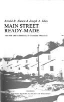
Search results from Open Library.
Recent natural events nearby
Ground air-quality sensors
Recently spotted species
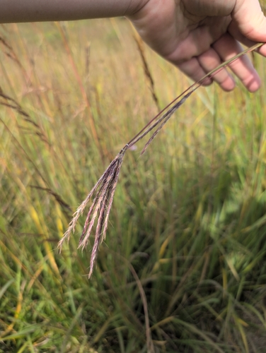
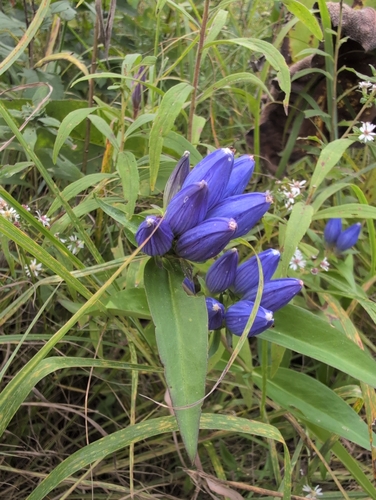
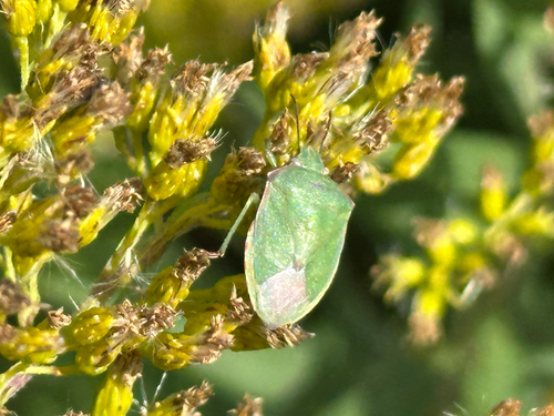
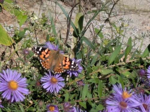
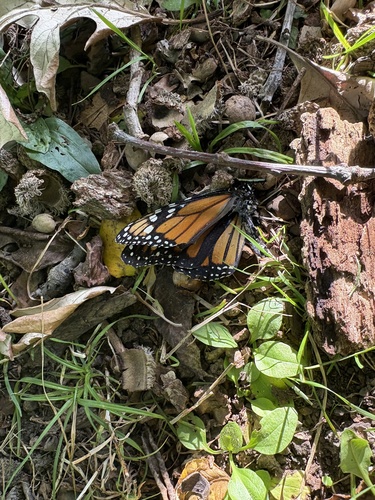
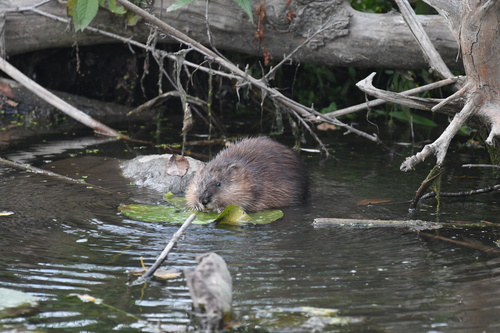
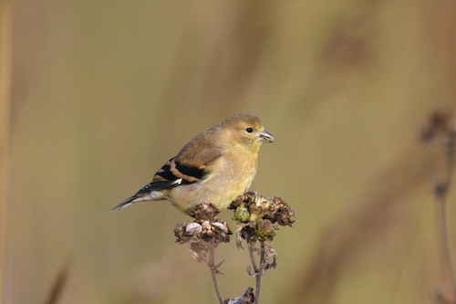
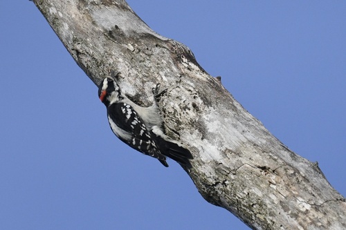
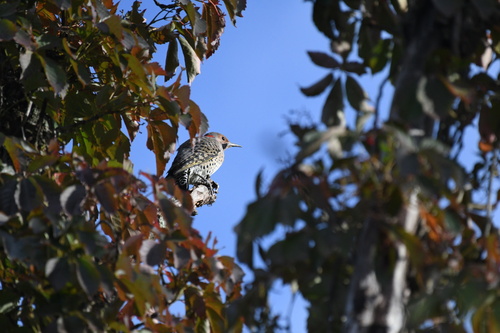
Research-grade observations from iNaturalist (within ~15 mi).
Nearest stream gauge
Events
Gallery
Sources
- • Wikipedia
- • US Census Bureau (ACS 5-year estimates)
- • Wikidata
- • USGS Earthquake Catalog (global feed)
- • NCES via Urban Institute Education Data Portal
- • GBIF (Global Biodiversity Information Facility)
- • iNaturalist
- • CDC PLACES
- • Open-Meteo / sunrise-sunset.org
- • Wikipedia Pageviews API
- • Open Library