Browse / United States / Wisconsin / Madison
Madison
Wisconsincity

Madison
Total population
285,318
Median home value
$418,400
Bachelor's+
Median income
$79,254
Founded
1836
Air quality index
Demographic figures from US Census Bureau · ACS 5-year estimates. Overview below cites Wikipedia and may reference a different year.
- Freeze Warning · SevereFreeze Warning issued October 16 at 12:29AM CDT until October 17 at 9:00AM CDT by NWS Milwaukee/Sullivan WI
Source: NOAA National Weather Service.
City facts
Sister cities
Facts from Wikidata (CC0).
Overview
Madison is the capital of the U.S. state of Wisconsin. It is the second-most populous city in the state, with a population of 269,840 at the 2020 census. The Madison metropolitan area has an estimated 708,000 residents. With a downtown centrally located on an isthmus between Lakes Mendota and Monona, the city also encompasses Lake Wingra. Founded in 1836, Madison is named after American Founding Father and President James Madison. The city is the county seat of Dane County.
Read more on WikipediaHistory & geography
History
Before Europeans, humans inhabited the area in and around Madison for about 12,000 years. The Ho-Chunk called the region () meaning 'land of the four lakes' (Mendota, Monona, Waubesa, and Kegonsa). Numerous effigy mounds, constructed for ceremonial and burial purposes more than 1,000 years earlier, dotted the rich prairies around the lakes. Dugout canoes found near many small lakes and rivers are prompting new anthropological research projects. Madison's modern origins begin in 1829, when former federal judge James Duane Doty purchased 1,261 acres (4 km2) of swamp and forest land on the isthmus between Lakes Mendota and Monona for $1,500, with the intention of building a city in the Four Lakes region. When the Wisconsin Territory was created in 1836 the territorial legislature convened in Belmont, Wisconsin. One of the legislature's tasks was to select a permanent location for the territory's capital. Doty lobbied aggressively for Madison as the new capital, offering buffalo robes to the freezing legislators and choice lots in Madison at discount prices to undecided voters. He had James Slaughter plat two cities in the area, Madison and "The City of Four Lakes", near present-day Middleton. Doty named his city for James Madison, the fourth president of the U.S. who had died on June 28, 1836. He named the streets for the other 38 signers of the U.S. Constitution. Although the city existed only on paper, the territorial legislature voted on November 28, 1836, to make Madison its capital, largely because of its location halfway between the new and growing cities around Milwaukee in the east and the long-established strategic post of Prairie du Chien in the west, and between the highly populated lead mining regions in the southwest and Wisconsin's oldest city,…
Geography
Madison is in the center of Dane County in south-central Wisconsin, west of Milwaukee and northwest of Chicago. Downtown Madison is on an isthmus between Lake Mendota and Lake Monona; the city's trademark "Lake, City, Lake" reflects this geography. Madison completely surrounds the suburbs of Maple Bluff, Monona, and Shorewood Hills. Madison shares borders with its largest suburb, Sun Prairie, and three other suburbs, Middleton, McFarland, and Fitchburg. Other suburbs include Cottage Grove, DeForest, Verona and Waunakee as well as Mount Horeb, Oregon, Stoughton, and Cross Plains further into Dane County. According to the United States Census Bureau, the city has an area of , of which is land and is water. The city's lowest elevation is the intersection of Regas Road and Corporate Drive on the east side, at . The highest elevation is located along Pleasant View Road on the far west side of the city, atop a portion of a terminal moraine of the Green Bay Lobe of the Wisconsin glaciation, at . The city is sometimes described as "The City of Four Lakes", comprising the four successive lakes of the Yahara River: Lake Mendota ("Fourth Lake"), Lake Monona ("Third Lake"), Lake Waubesa ("Second Lake") and Lake Kegonsa ("First Lake"), although Waubesa and Kegonsa are not actually in Madison, but just south of it. A fifth smaller lake, Lake Wingra, is within the city as well; it is connected to the Yahara River chain by Wingra Creek. The Yahara flows into the Rock River, which flows into the Mississippi River. Local identity varies throughout Madison, with over 120 officially recognized neighborhood associations. Historically, the north, east, and south sides were blue collar while the west side was white collar, and to a certain extent this remains true. Students dominate…
Excerpted from the corresponding Wikipedia article (CC BY-SA).
Demographics & economy
Race & ethnicity
Source: US Census Bureau — American Community Survey, 5-year estimates.
Geography
Coordinates & boundaries from the US Census TIGER/Line shapefiles.
Climate
10-year averages from ERA5 reanalysis (Open-Meteo).
Current forecast
Forecast for Madison, WI from NOAA NWS API.
Air quality
Current readings from Open-Meteo Air Quality API (Copernicus CAMS European reanalysis).
Industrial & pollution facilities
Natural hazard risk
Health (adults)
Age-adjusted prevalence estimates from CDC PLACES (latest release).
Walkability
Amenities nearby
Wildlife & biodiversity
Most-observed species
- Northern CardinalCardinalis cardinalis (Linnaeus, 1758) · Aves82,680
- Black-capped ChickadeePoecile atricapillus (Linnaeus, 1766) · Aves77,593
- American RobinTurdus migratorius Linnaeus, 1766 · Aves76,865
- American GoldfinchSpinus tristis (Linnaeus, 1758) · Aves65,045
- MallardAnas platyrhynchos Linnaeus, 1758 · Aves64,473
- American CrowCorvus brachyrhynchos C.L.Brehm, 1822 · Aves60,426
- Canada Goose (canadensis Group)Branta canadensis (Linnaeus, 1758) · Aves59,206
- Red-winged BlackbirdAgelaius phoeniceus (Linnaeus, 1766) · Aves58,562
Citizen-science & research observations from the Global Biodiversity Information Facility (GBIF).
Schools
Largest nearby schools
- Middleton HighHigh · Middleton · 2,309 students · 15.3:1 ratio
- West HighHigh · Madison · 2,147 students · 16.8:1 ratio
- Vel Phillips Memorial HighHigh · Madison · 2,025 students · 16.5:1 ratio
- Verona Area HighHigh · Verona · 1,802 students · 16.2:1 ratio
- East HighHigh · Madison · 1,649 students · 14.9:1 ratio
- LaFollette HighHigh · Madison · 1,482 students · 15.8:1 ratio
- Wisconsin Virtual Academy K-8 (WIVA)Elementary · McFarland · 1,365 students · 23.1:1 ratio
- Waunakee HighHigh · Waunakee · 1,327 students · 13.4:1 ratio
Public K–12 schools within ~10 mi from Urban Institute Education Data Portal (NCES Common Core of Data, 2022).
Earthquake history
Events from the USGS Earthquake Catalog (global) (FDSN Event Web Service).
Photos
Sights & places nearby
Notable people from here


People born within ~10 km, from Wikidata (CC0). Click any name for their Wikipedia article.
Nearby places in Wisconsin
- Shorewood Hills1.1 mi away
- Waunakee6.6 mi away
- Fitchburg7.1 mi away · pop. 32,619
- DeForest10.5 mi away · pop. 11,501
- Sun Prairie11.7 mi away · pop. 37,570
- Windsor13.2 mi away
- Stoughton15.4 mi away
- Lodi16.7 mi away · pop. 3,204
- Arlington17.3 mi away · pop. 946
- Deerfield18.1 mi away · pop. 2,541
- Mazomanie19.3 mi away · pop. 1,694
- Sauk City19.9 mi away
Geography & sun
Elevation, sunrise/sunset and daylight from Open-Meteo. Solar climatology from NASA POWER.
Nearby airports
Public attention
Pageview totals from the Wikimedia Pageviews API.
Books about Madison


Search results from Open Library.
Recent natural events nearby
- rx-Young 1 Prescribed Fire, Jefferson, WisconsinWildfires · 2026-05-11 · 44 mi
- rx-Young 1 Prescribed Fire, Jefferson, WisconsinWildfires · 2026-04-13 · 44 mi
- rx-Lapham Good Oak 2026 Prescribed Fire, Waukesha, WisconsinWildfires · 2026-05-06 · 52 mi
- rx-Millville Oak Woodlands SNA South Prescribed Fire, Grant, WisconsinWildfires · 2026-04-29 · 76 mi
- Tyndall 469 & 143 RX Prescribed Fire, Mason, MichiganWildfires · 2026-04-26 · 184 mi
- Baldwin Fuels 6 RX Prescribed Fire, Lake, MichiganWildfires · 2026-04-23 · 185 mi
- Barren Plains Units 1 & 3 RX Prescribed Fire, Lake, MichiganWildfires · 2026-04-19 · 189 mi
- Peacock 545 and 159 RX Prescribed Fire, Lake, MichiganWildfires · 2026-04-20 · 194 mi
Wildfires, storms and other events from NASA EONET (last 12 months, within 250 mi).
Ground air-quality sensors
Recently spotted species
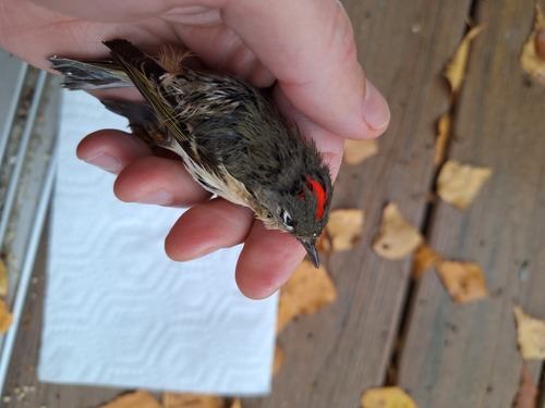

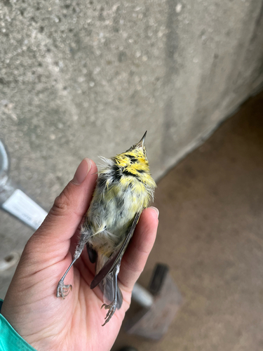
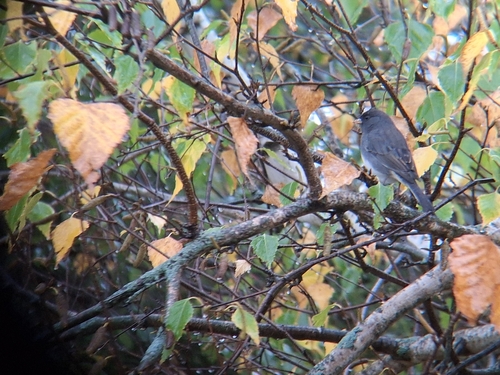
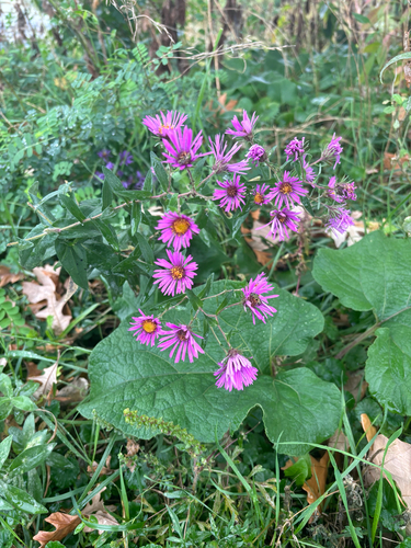
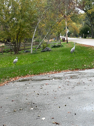
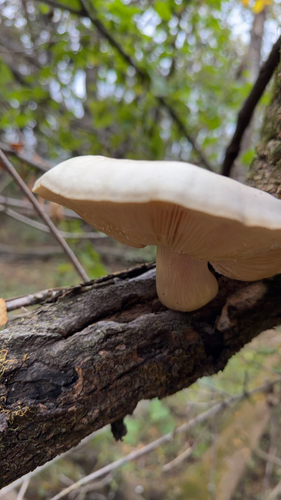
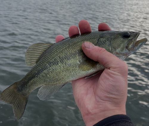
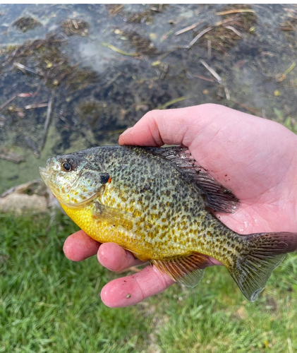
Research-grade observations from iNaturalist (within ~15 mi).
Nearest stream gauge
Live readings from USGS NWIS · measured 2026-06-14 22:36 UTC.
Events
Notable, recurring, and historical events associated with Madison, sourced from Wikidata.
- Jan 1, 2006
Source: Wikidata (CC0).
Gallery
Geotagged photos within ~6 miles of Madison, from Wikimedia Commons contributors.
 0.4 mi
 0.4 mi
 0.5 mi
 0.6 mi
.jpg) 0.6 mi
0.6 mi 0.6 mi
 0.6 mi
 0.6 mi
 0.7 mi
 0.7 mi
 0.7 mi
 0.8 mi
 0.8 mi
.jpg) 0.8 mi
0.8 mi 0.8 mi
 0.8 mi
 0.8 mi
.jpg) 0.8 mi
0.8 mi 0.8 mi
 0.8 mi
 0.8 mi
 0.8 mi
 0.8 mi
 0.8 mi
Photos via Wikimedia Commons — see each image page for license & attribution.
Sources
- • Wikipedia
- • US Census Bureau (ACS 5-year estimates)
- • Open-Meteo (ERA5 reanalysis)
- • NOAA National Weather Service
- • Wikimedia Commons
- • Wikidata
- • Open-Meteo Air Quality (CAMS)
- • USGS Earthquake Catalog (global feed)
- • USGS NWIS (water data)
- • NCES via Urban Institute Education Data Portal
- • GBIF (Global Biodiversity Information Facility)
- • iNaturalist
- • CDC PLACES
- • Open-Meteo / sunrise-sunset.org
- • Wikipedia Pageviews API
- • Open Library
- • NASA EONET