Browse / United States / Wisconsin / Marshfield
Marshfield
Wisconsincity

Marshfield
Total population
18,700
Median home value
$177,800
Bachelor's+
Median income
$58,407
Founded
1868
Demographic figures from US Census Bureau · ACS 5-year estimates. Overview below cites Wikipedia and may reference a different year.
City facts
Facts from Wikidata (CC0).
Overview
Marshfield is a city in Wood and Marathon counties of the U.S. state of Wisconsin. The population was 18,929 at the 2020 census; of this, 18,119 were in Wood County and 810 were in Marathon County. It is a principal city of the Marshfield–Wisconsin Rapids micropolitan statistical area, which includes all of Wood County and had a population of 74,207 in 2020.
Read more on WikipediaHistory & geography
History
In 1851 and 1853, when the area was still forested, surveyors working for the U.S. government marked all the section corners in the square which now includes Marshfield, Hewitt, and Cameron, working on foot with compass and chain. When done, the deputy surveyor filed this general description: This Township is nearly all Dry land, there being no Swamp of consequence in it. There being too much clay & rocks in it. Particularly that part which contains Fir & Hemlock. The surface is rough & uneven(?) and rather to flat for anything but meadow. There is some good Pine it but too much scattering to make it an object. The Township is well watered with small streams but none of them are of sufficient size for Milling purposes. The streams are lined with Alder & many of them producing good hay. There are no improvements in this Township. Marshfield was settled much later than many surrounding towns. DuBay started his trading post east on the Wisconsin River around 1818. A sawmill was built at Nekoosa in 1832. A sawmill was built at Neillsville around 1847. The first building at Marshfield came in 1872. In 1872 the Wisconsin Central Railway was building the leg of its line from Stevens Point through the forest to what would become Colby, heading north for Lake Superior. The railway needed a supply depot between those two towns, and Marshfield was about midway. At the railroad's request, Louis Rivers, his wife and child, and his brother Frank came to the area and started cutting an opening in the forest. They built a two-room log hotel at what is now the corner of Depot and Chestnut streets, with bunks in the west room and tables, benches, bar and store in the east room. That crude building between the stumps was the first permanent structure in Marshfield. Marshfield might…
Geography
Marshfield is located at (44.6688524, -90.1717987)., According to the United States Census Bureau, the city has a total area of , of which is land and is water. The Köppen climate classification subtype for the climate of Marshfield is "Dfb". (Warm Summer Continental Climate).
Excerpted from the corresponding Wikipedia article (CC BY-SA).
Demographics & economy
Race & ethnicity
Source: US Census Bureau — American Community Survey, 5-year estimates.
Geography
Coordinates & boundaries from the US Census TIGER/Line shapefiles.
Climate
Current forecast
Forecast for Marshfield, WI from NOAA NWS API.
Air quality
Industrial & pollution facilities
Natural hazard risk
Health (adults)
Age-adjusted prevalence estimates from CDC PLACES (latest release).
Walkability
Amenities nearby
Wildlife & biodiversity
Schools
Largest nearby schools
- Marshfield HighHigh · Marshfield · 1,242 students · 15.5:1 ratio
- Grant ElementaryElementary · Marshfield · 604 students · 16.8:1 ratio
- Marshfield MiddleMiddle · Marshfield · 563 students · 14.1:1 ratio
- Auburndale ElementaryElementary · Auburndale · 419 students · 13.1:1 ratio
- Auburndale HighHigh · Auburndale · 410 students · 12.1:1 ratio
- Washington ElementaryElementary · Marshfield · 314 students · 15.7:1 ratio
- Nasonville ElementaryElementary · Marshfield · 289 students · 15.2:1 ratio
- Madison ElementaryElementary · Marshfield · 282 students · 11.8:1 ratio
Public K–12 schools within ~10 mi from Urban Institute Education Data Portal (NCES Common Core of Data, 2022).
Earthquake history
Photos
Sights & places nearby
Notable people from here


People born within ~10 km, from Wikidata (CC0). Click any name for their Wikipedia article.
Geography & sun
Elevation, sunrise/sunset and daylight from Open-Meteo. Solar climatology from NASA POWER.
Nearby airports
Public attention
Pageview totals from the Wikimedia Pageviews API.
Books about Marshfield

Search results from Open Library.
Recent natural events nearby
Ground air-quality sensors
Recently spotted species
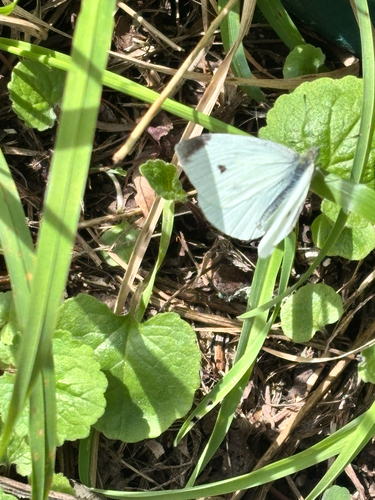
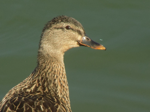
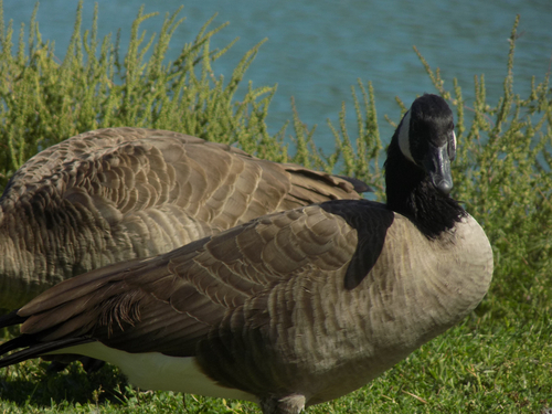
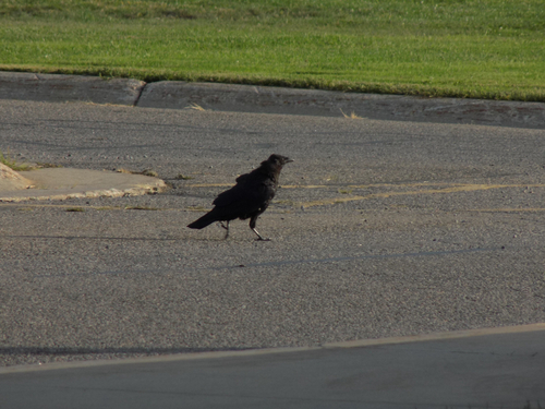
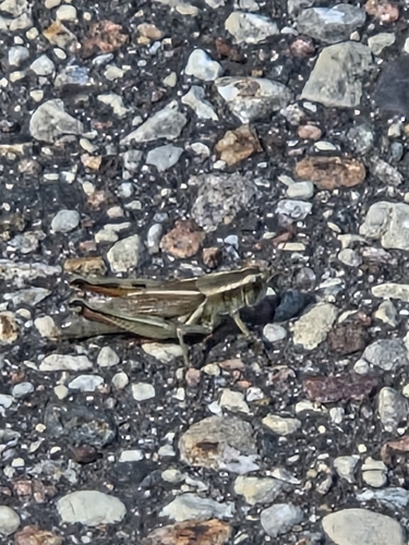
Research-grade observations from iNaturalist (within ~15 mi).
Nearest stream gauge
Events
Gallery
Sources
- • Wikipedia
- • US Census Bureau (ACS 5-year estimates)
- • NOAA National Weather Service
- • Wikidata
- • NCES via Urban Institute Education Data Portal
- • iNaturalist
- • CDC PLACES
- • Open-Meteo / sunrise-sunset.org
- • Wikipedia Pageviews API
- • Open Library